The weather this long weekend ended up being much nicer than was predicted - they called for rain all weekend, but in fact we got 2 out of 3 days of full sunshine. Irrespective of the weather, Bill and I had planned on a hike on Sunday, and Bill came up with hiking the summit of Mount Gardner on Bowen Island. This was one I had not done before, and sounded like a great idea.
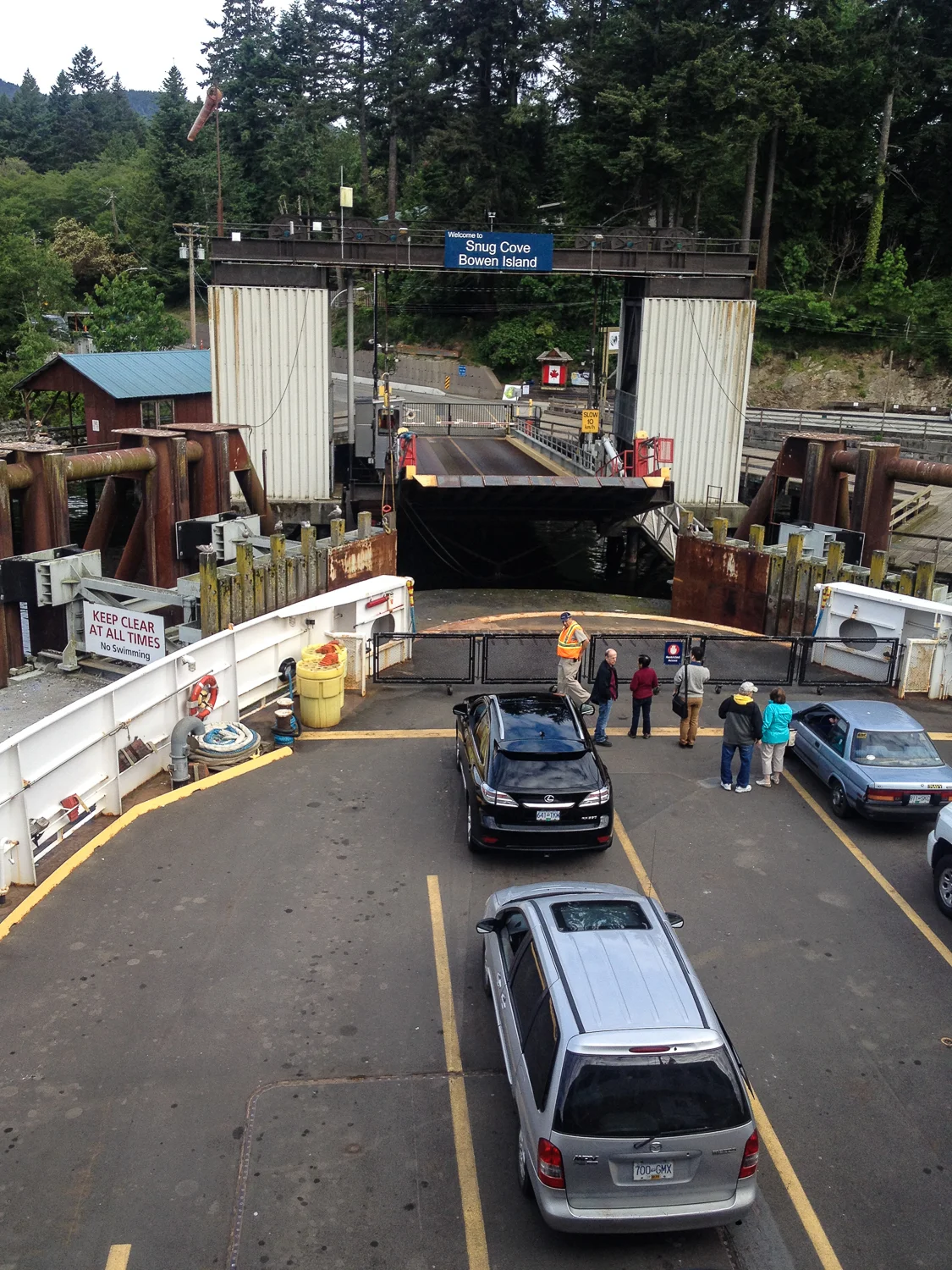
The trip started with a walk on to the ferry that took us over to Snug Cove on Bowen Island.
The problem with hiking around Vancouver in the spring is that many of the hikes still have a lot of snow at the higher elevations, so this was a good choice as being one of the islands in close to Horseshoe Bay ad the mainland, Bowen doesn't really get any snow. The hike itself seemed a bit long (17 km from the ferry dock), but as we had no time pressures, it seemed doable.
We caught a very early ferry over from Horseshoe Bay, and as you can see from the picture of us arriving into Snug Cove, the trip was pretty quiet. We got off the ferry, started walking up the road towards the trailhead, and immediately missed our first turnoff. As Bill and I are want to do, we were going more on feel than following the directions, and sure enough we were off on the wrong track pretty much straight away. After sorting out that little mishap, we got ourselves back on track, and headed on the correct road to the trail head. One good side effect of the misdirection was that we came across a small flock of turkey vultures in some of the trees along the road.
A pair of turkey vultures along the side of the road, before we got to the trailhead.
Not the prettiest birds in the world...
We eventually found the trailhead, and immediately started climbing. The elevation gain for the hike wasn't bad at 719m, but it was steep in places. We started off on the "skid" trail, one of the side trails that was a lot nicer than the main "hikers road" up to the primary North Trail to the summit. The map we had was a pretty rough one off the internet, and it quickly lead us astray.
Grafton Lake - sadly, we were not supposed to get near Grafton Lake on this hike.
At our first major intersection of a couple of trails, we had the choice to go straight up to the main summit, or to loop around a little bit to what looked like a more interesting trail, that also lead to the summit. Of course we chose the latter, and headed away from the more direct route. That turned out to be not the right decision.
After a short time, the trail started going downhill, which was obviously the wrong direction. We (vainly) hoped that it would eventually loop back around and start climbing (and it did), but not before we had circumnavigated about half the island.
Eventually we found our way onto another trail system that looked promising, and that trail eventually led us to the South Mount Gardner trail. Pretty much the other side of the mountain from where we were supposed to be. At that point, the trail started going up, and steeply. It was pretty touch going in places, and both of us were struggling. Maybe this was a little more than we should have bitten off for our first hike of the season.... Still, we pushed on.
In places, there were these open "meadows" of moss-covered rocks. They were quite spongy and made for nice rest spots.
We kept climbing for quite a while, and one of the cool things about this hike was that right until we were about an hour from the top, we never saw another person. Eventually, the South and North trails came together, and we were confident that we were back in the right place. The increase in people also confirmed that we were in the right spot.
The forest on the mountain is lovely, fairly old second growth, with lots of big trees. It was very scenic, despite the steep grade and being completely out of shape.
After what felt like way too long, we finally got to the summit and got to enjoy the amazing view!
The view from Mount Gardner across to Horseshoe Bay, with Vancouver further in the background.
A slightly different perspective on the view from Mount Gardner.
After resting, having some food and enjoying the view, we had to make our way back down. We took the correct (straight) path back down to the trailhead, which was again quite steep and pretty much destroyed my knees. The return trip was quite a bit quicker, and in not too long we were back in Snug Cove.
We missed the ferry back to Horseshoe Bay, so we were able to sit on the patio at the pub and have a well-deserved beer (and three jugs of water). The next ferry was there in no time, so we headed home.
Good hike, great view but don't wander off the main path...
The GPS trail of our hike. You'll notice the miss at the beginning, and the very long way around to the summit.
The profile of the hike from my running computer.