Over the Labour Day long weekend, Justine and I did just over 45 km of hiking in the Whistler backcountry. We started out at the Cheakamus Lake parking lot, and through hiked out to the Garibaldi Lake parking lot, over an amazing four days. I have to warn you, this will be a long post with lots of pictures, so be prepared...
The Google Earth map of the full hike. I'll breakdown the trip over the four days.

Day 1
Cheakamus Lake Parking Lot to Singing Creek Campsite
Our first day was the shortest and easiest of the trip. We left at a reasonable time that morning, and drove with two cars to drop at each end of the hike. We left Justine's car at the Garibaldi Lake trailhead (which was already pretty much full), and then drove a bit further north to the Cheakamus Lake trailhead east of Function Junction. The road in was rough but manageable, and we were ready to go by late morning.
Justine all set to head out from the trailhead.

Most of the trail was like this - nice and smooth and easy, flowing through the forest.

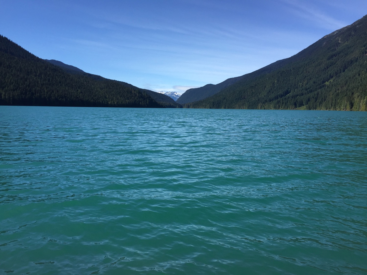
Our first view of Cheakamus Lake.
Still going strong!
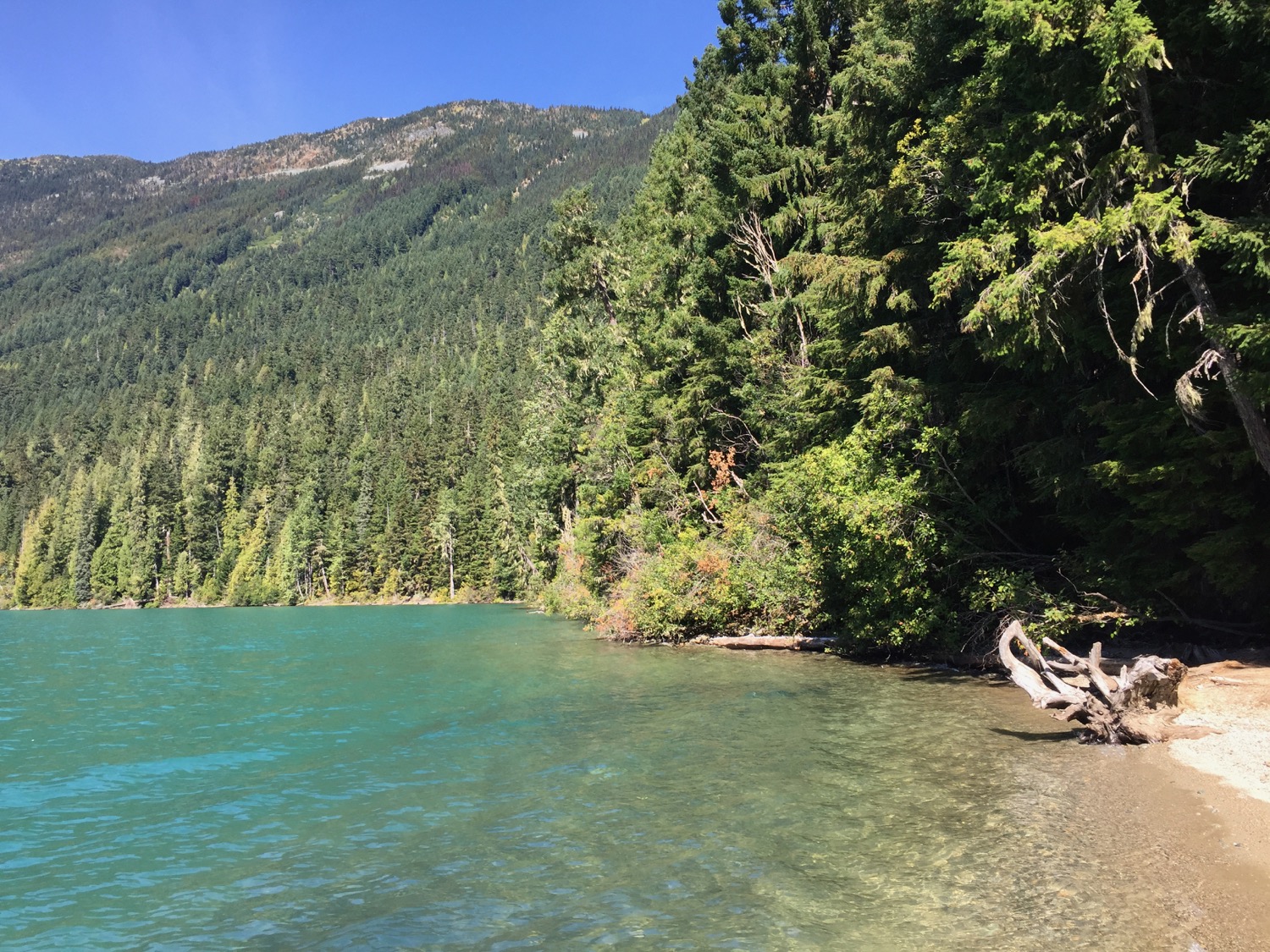
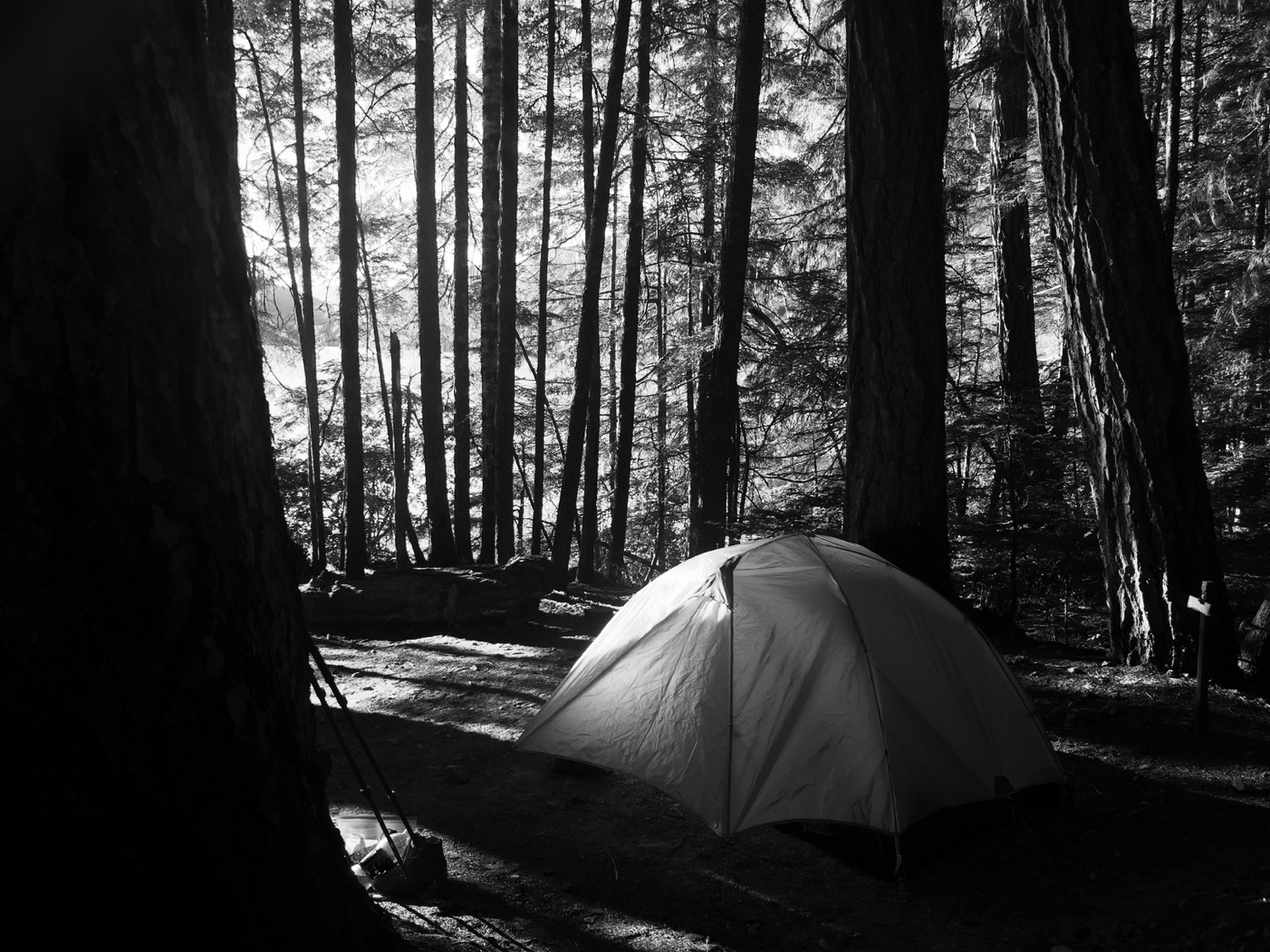
It was only 4 km from the trailhead to the first set of campsites on Cheakamus Lake. We were continuing a bit further on, another 3 1/2 km to the campsites at the other end of the lake at Singing Creek. We were glad we did, as the sites at Singing Creek were really nice, right on the lake with a little beach that was perfect for relaxing, swimming and watching the stars.

We made it! The first (easy) leg done, with a nice beach and everything.

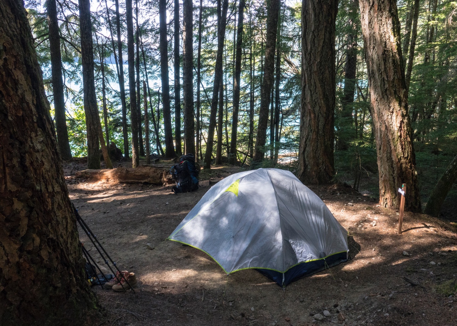
Our home for the night.

We celebrated our first day with our only beers. We weren't going to carry more than that.
Our campsite was under a huge pine tree. So amazing.
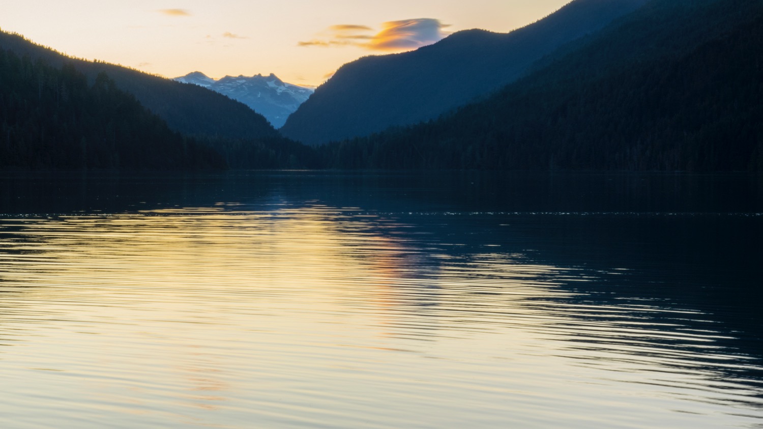
A beautiful view up the lake.

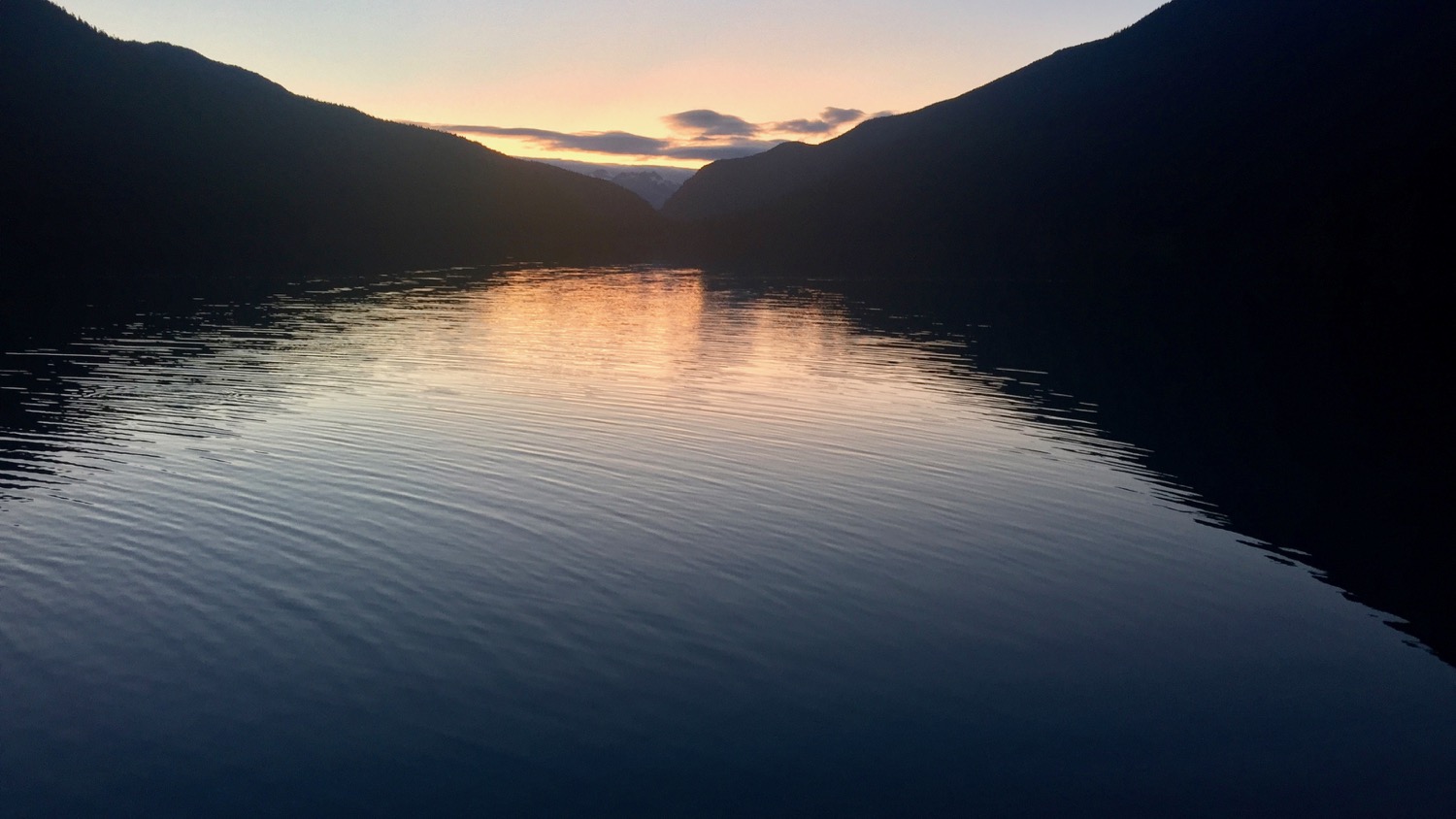
Sunset over Cheakamus Lake.
The Big Dipper over Cheakamus Lake.
Calling it a night.


Day 2
Singing Creek Campsite to Helm Creek Campsite
Day 2 was a lot harder than day 1, and there are a lot less pictures to share. We covered about 12 1/2 km on the second day, the last seven of which were all uphill. It was a tough go with our packs still being pretty much at their max weight.
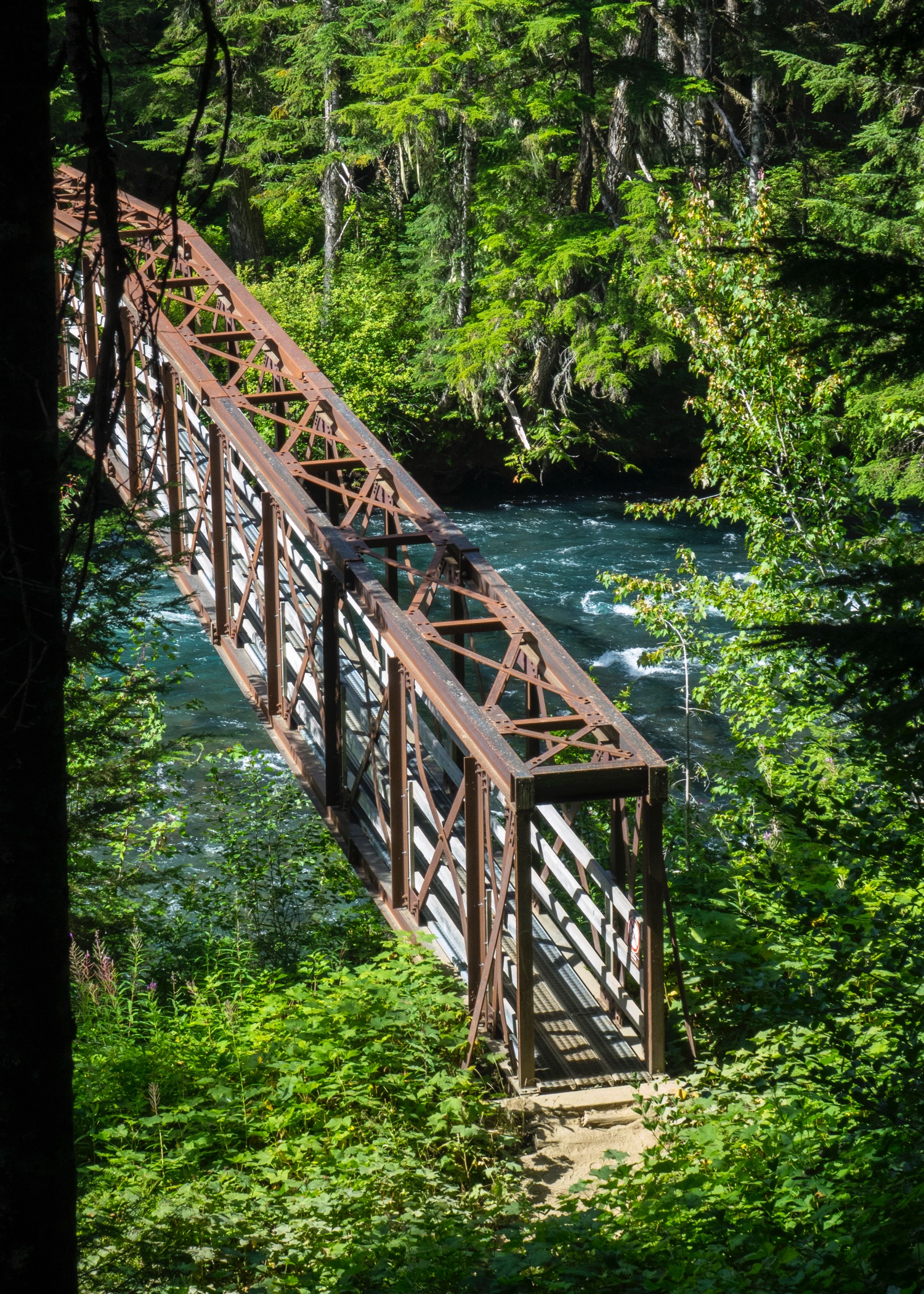
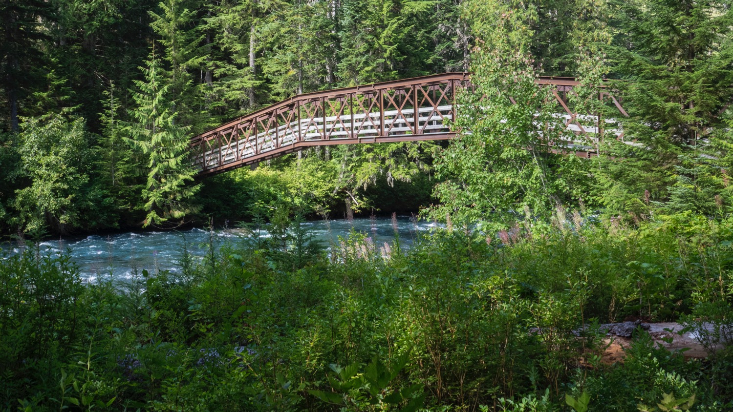
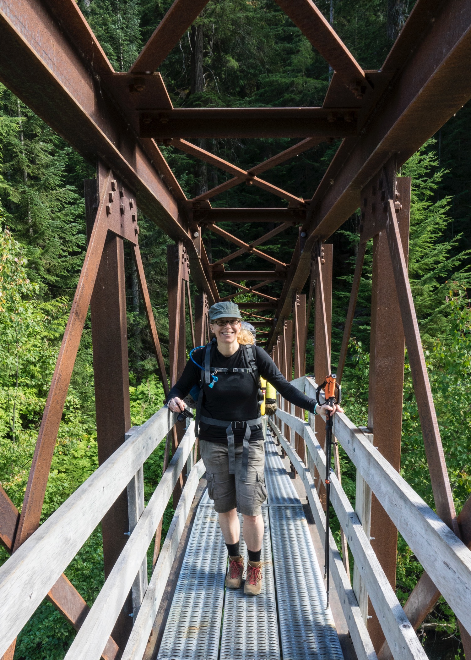
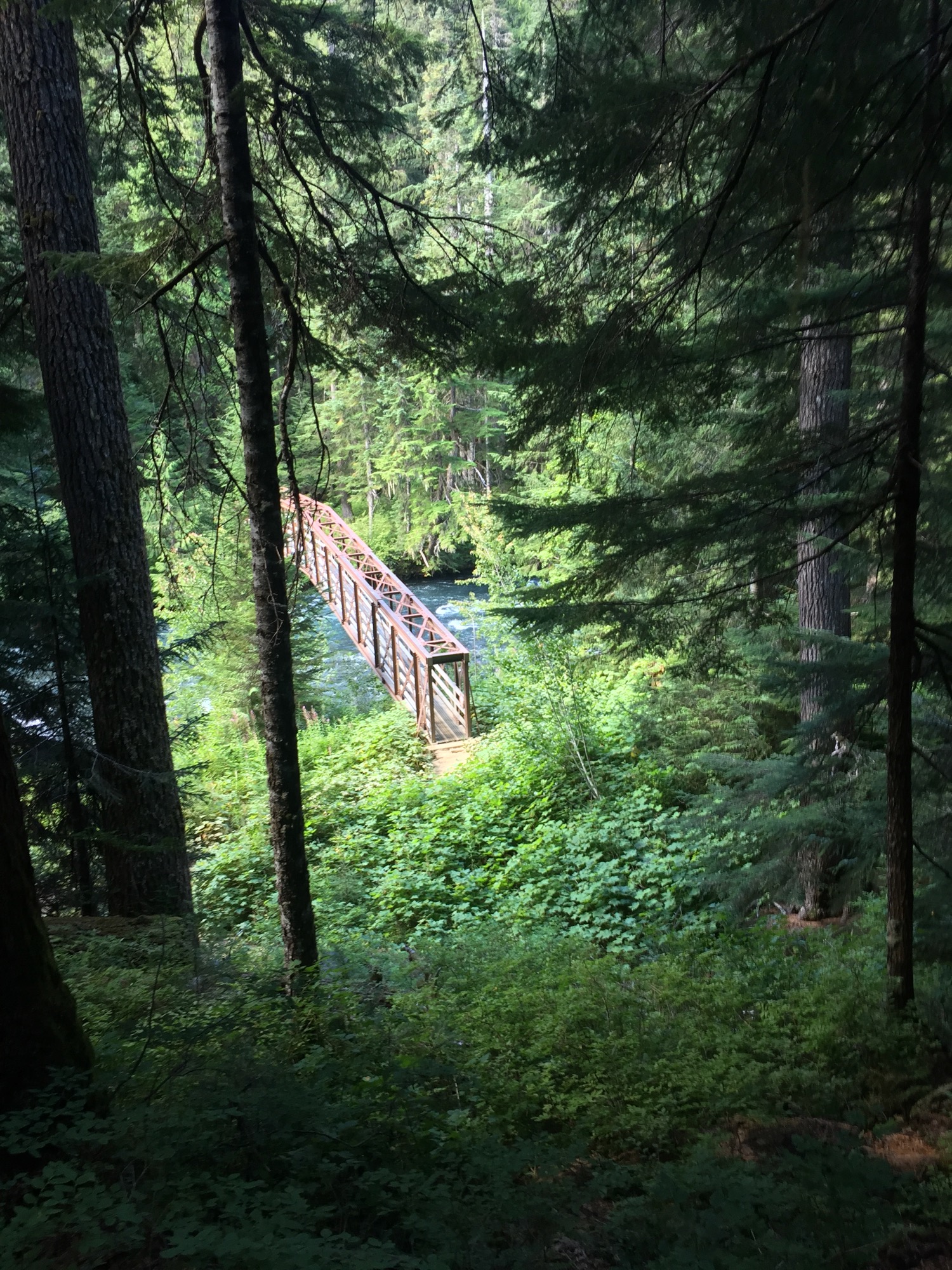
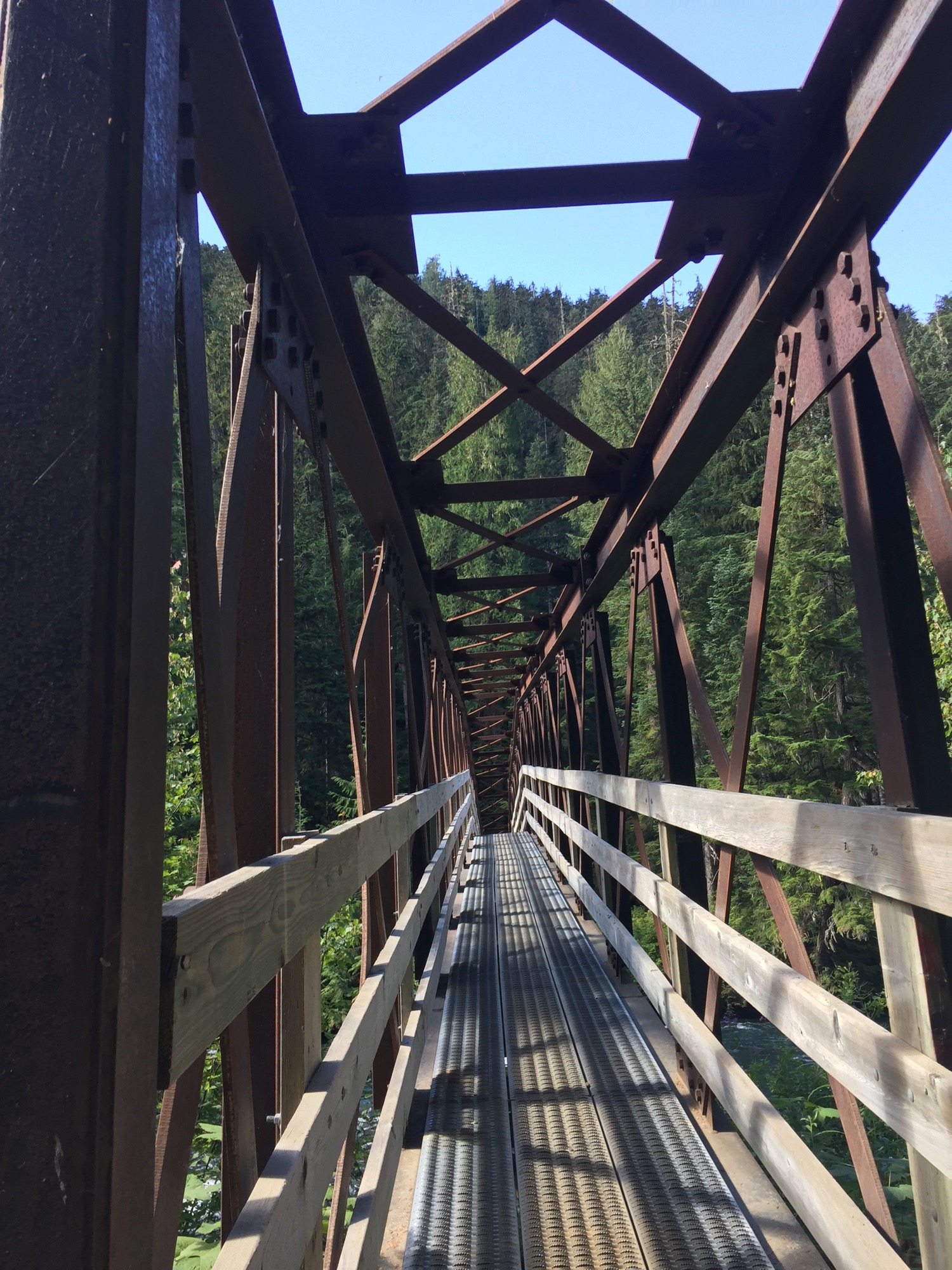
We got off to a pretty good start - not super early, and not rushed. After striking camp we made our way back along the lakeside, about half way back between the Cheakamus Lake campsites and the trailhead. At that point we had to cross the river on a great bridge, then start the climb. We actually saw a few friends who were mountain biking out to where we had camped the night before, which was cool.
One last view across Cheakamus Lake in the wonderful morning light.
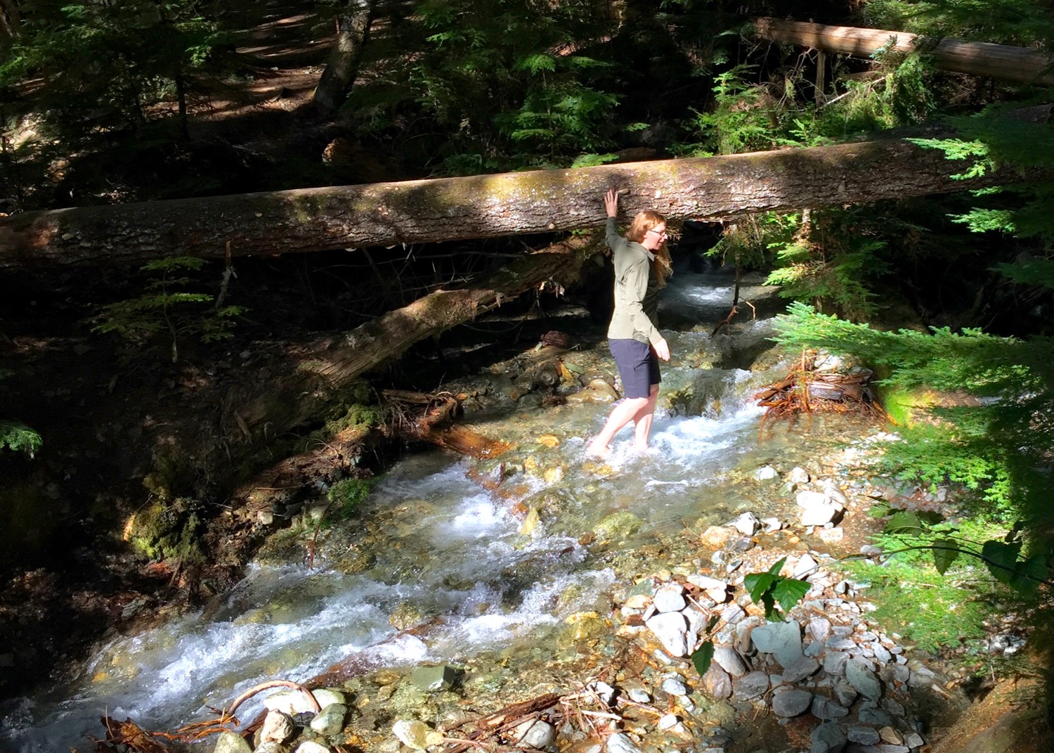
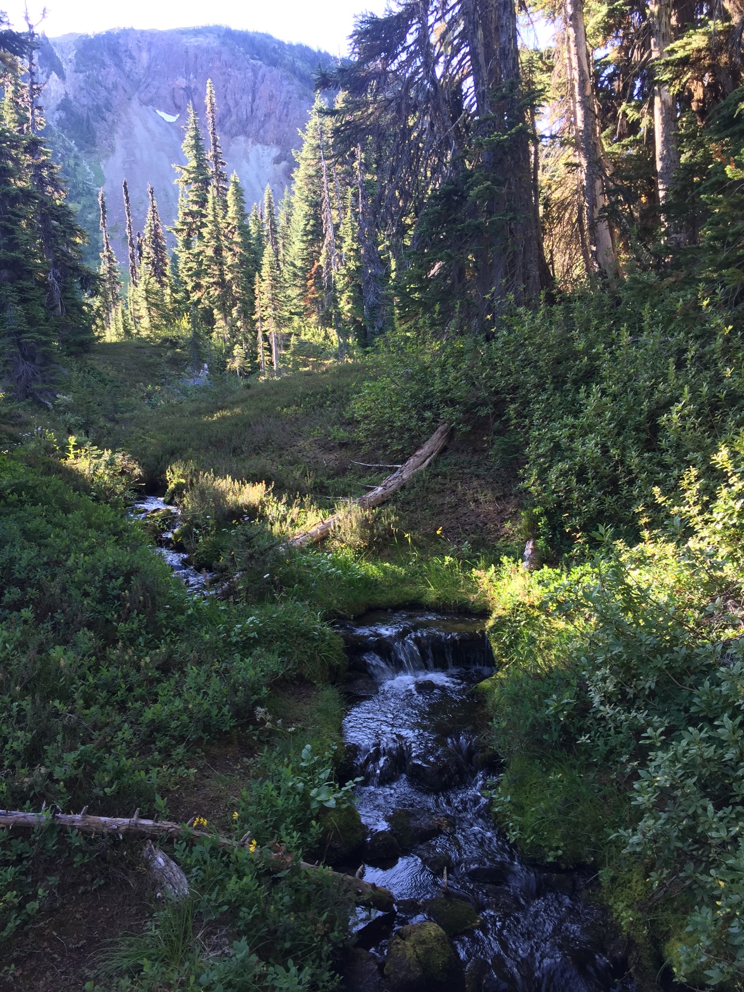
One of the many little creeks and streams we passed during our hike.
The hike up after crossing the bridge was greuling. Lots of steep switchbacks, that felt like they were going on forever. After we finally got up and over the steepest part, it was still another few kilometers of gradual climbing up to the Helm Creek campground.
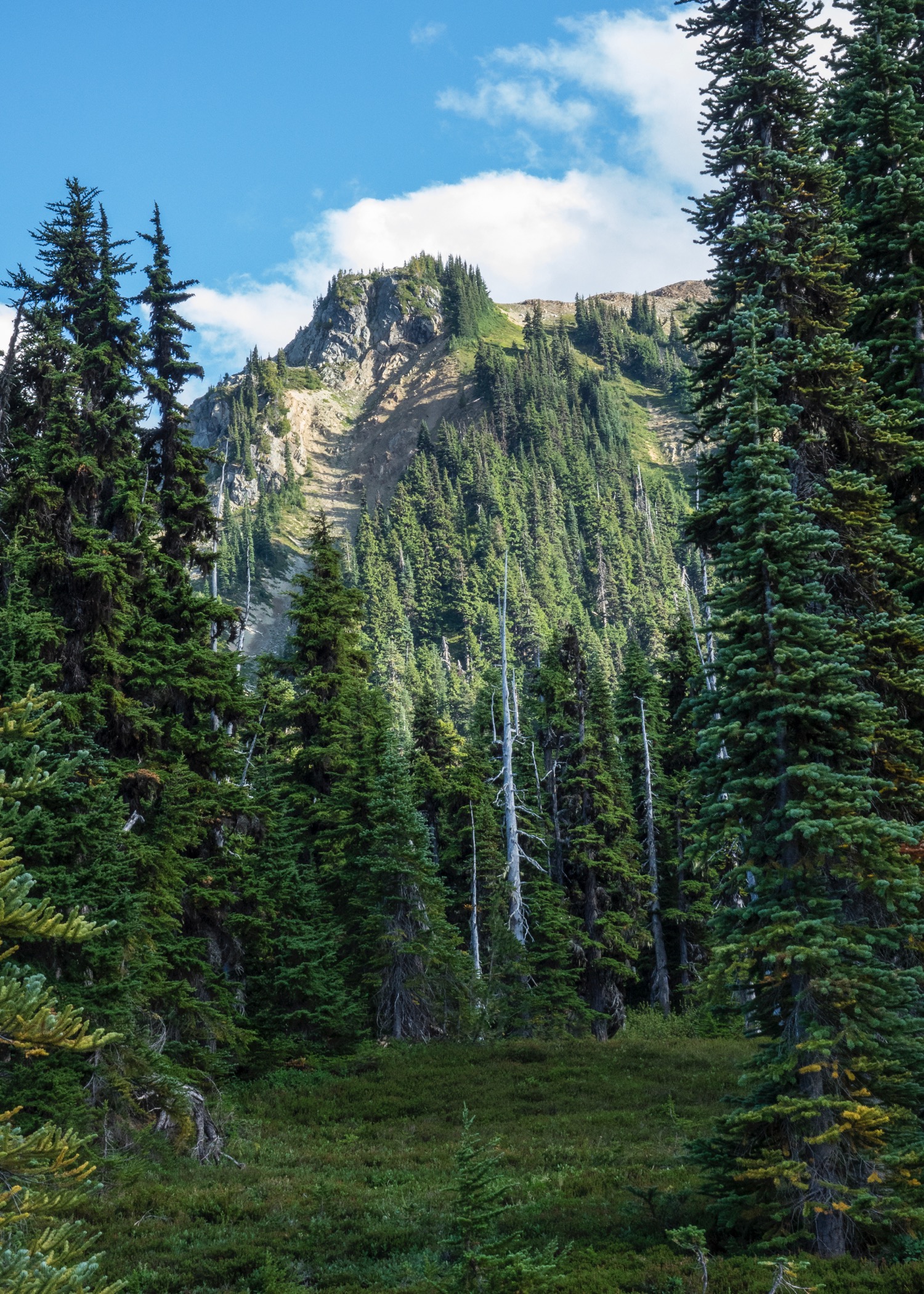
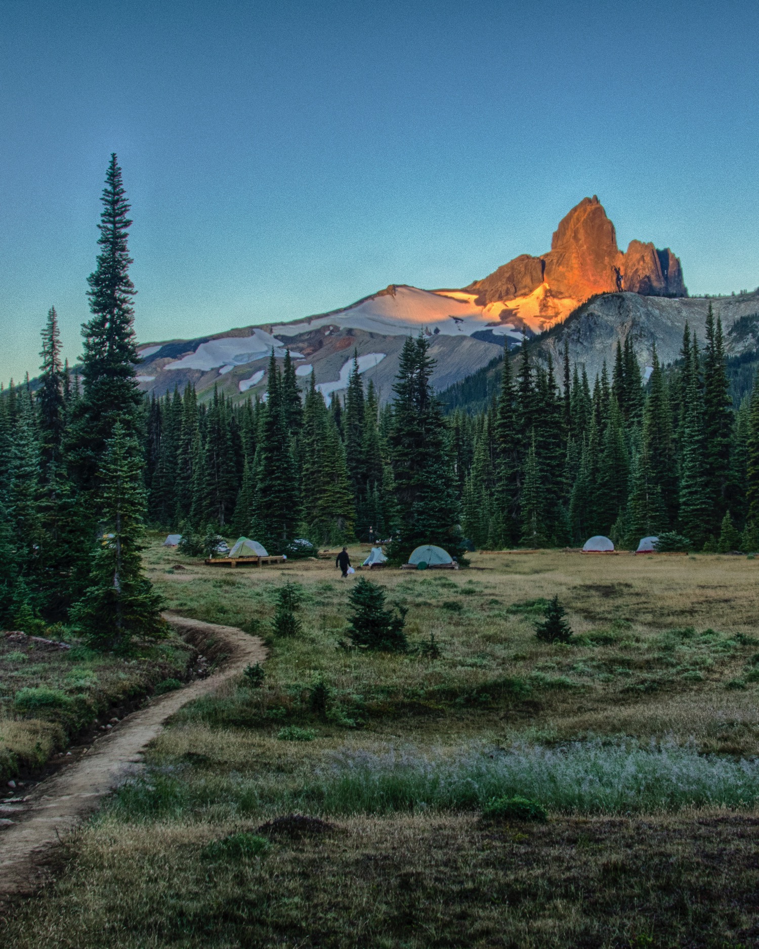
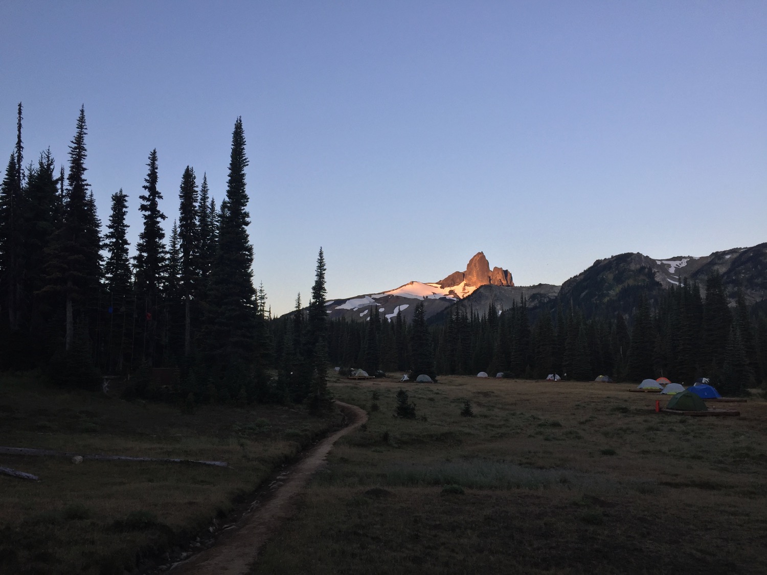
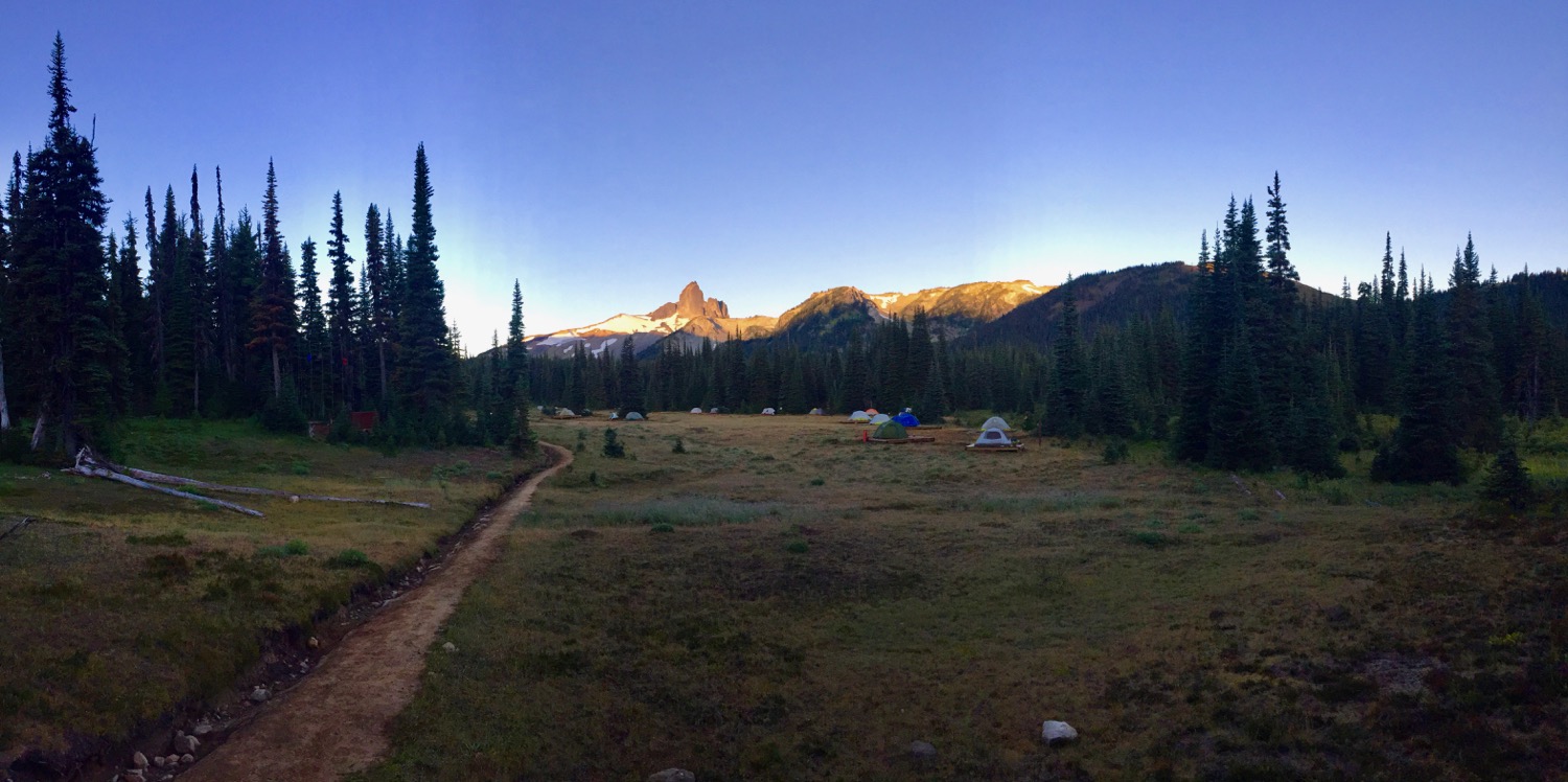
Once at the campsite, we had lots of spots to choose from. We got settled, got things organized and went for a bit of a walk to explore the area. The campsite itself is in a large open meadow, with great views to Black Tusk and other surrounding peaks. It was pretty amazing.
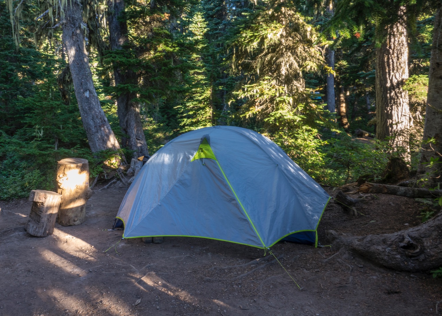
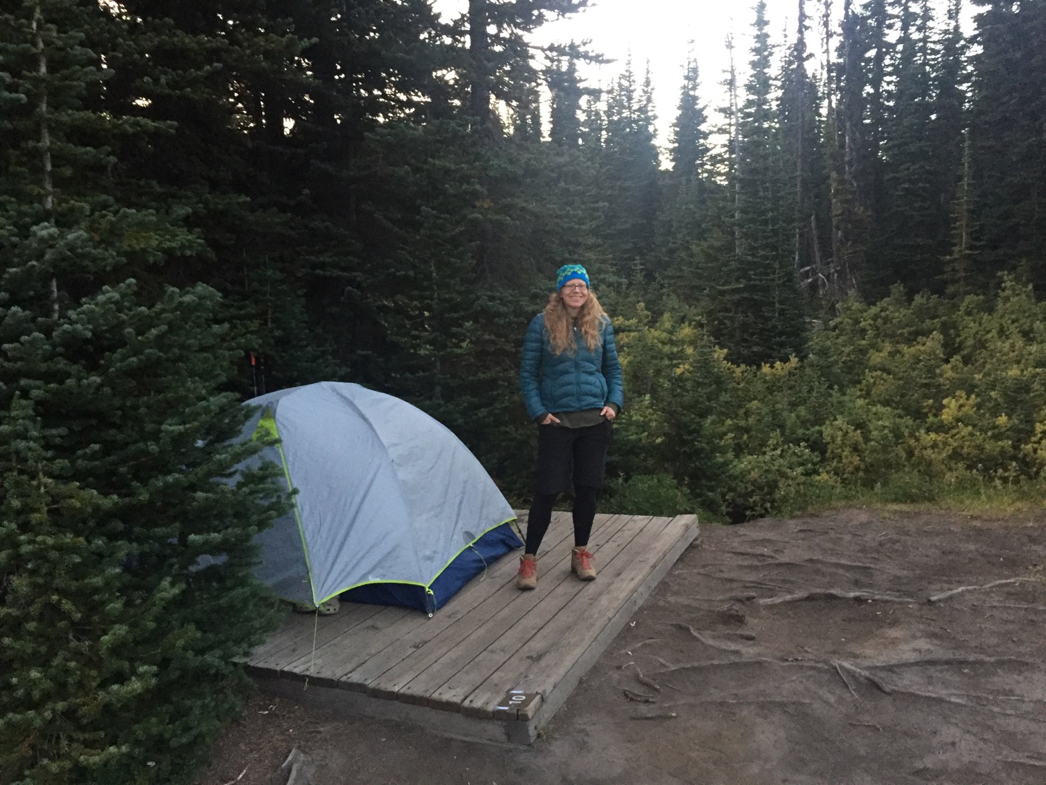
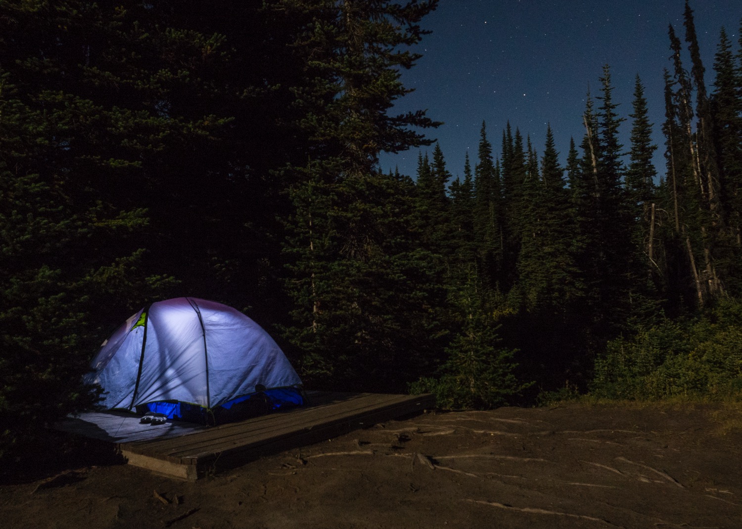
Our set-up for our second night. It ended up being quite a bit colder that night.

Pretty much the middle of the trip.
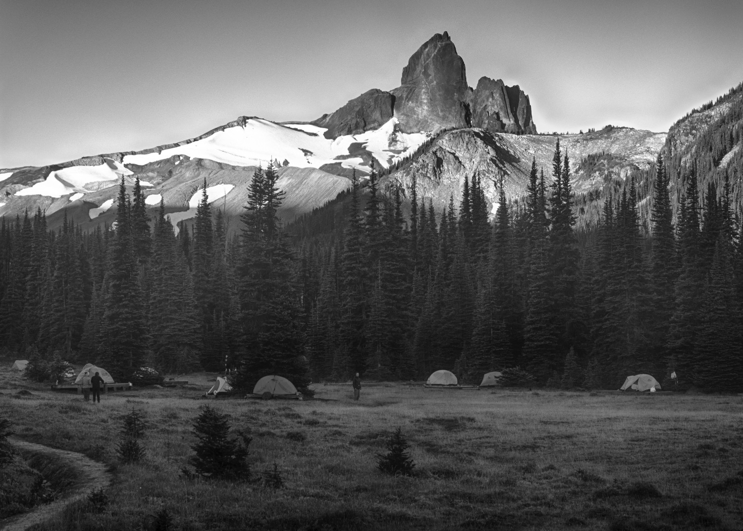
A view across the Helm Creek campsite. Lots of people had arrived by this time.
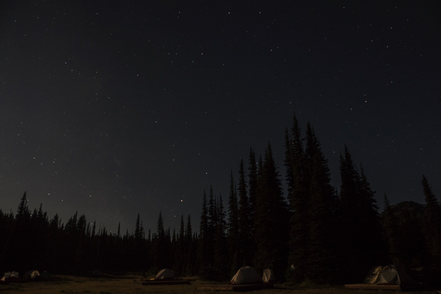
Our tent, and the Big Dipper. It was a cold, clear night.
Tents under the stars. We had one close by neighbour.


Day 3
Helm Creek Campsite to Garibaldi Lake with a Side Trip to Panorama Ridge
Day 3 was our longest day, and we covered over 16 km. This ended up being the best day for photos as well - we had some amazing views, and the terrain we covered changed dramatically over the course of the day.
The day started early for me, as I wanted to get up to get some shots of the sunrise on Black Tusk. It ended up being pretty good, with a burst of colour on the peak.
A burst of colour on Black Tusk as the sun rises.
A last view of the Helm Creek campsite as we headed out.
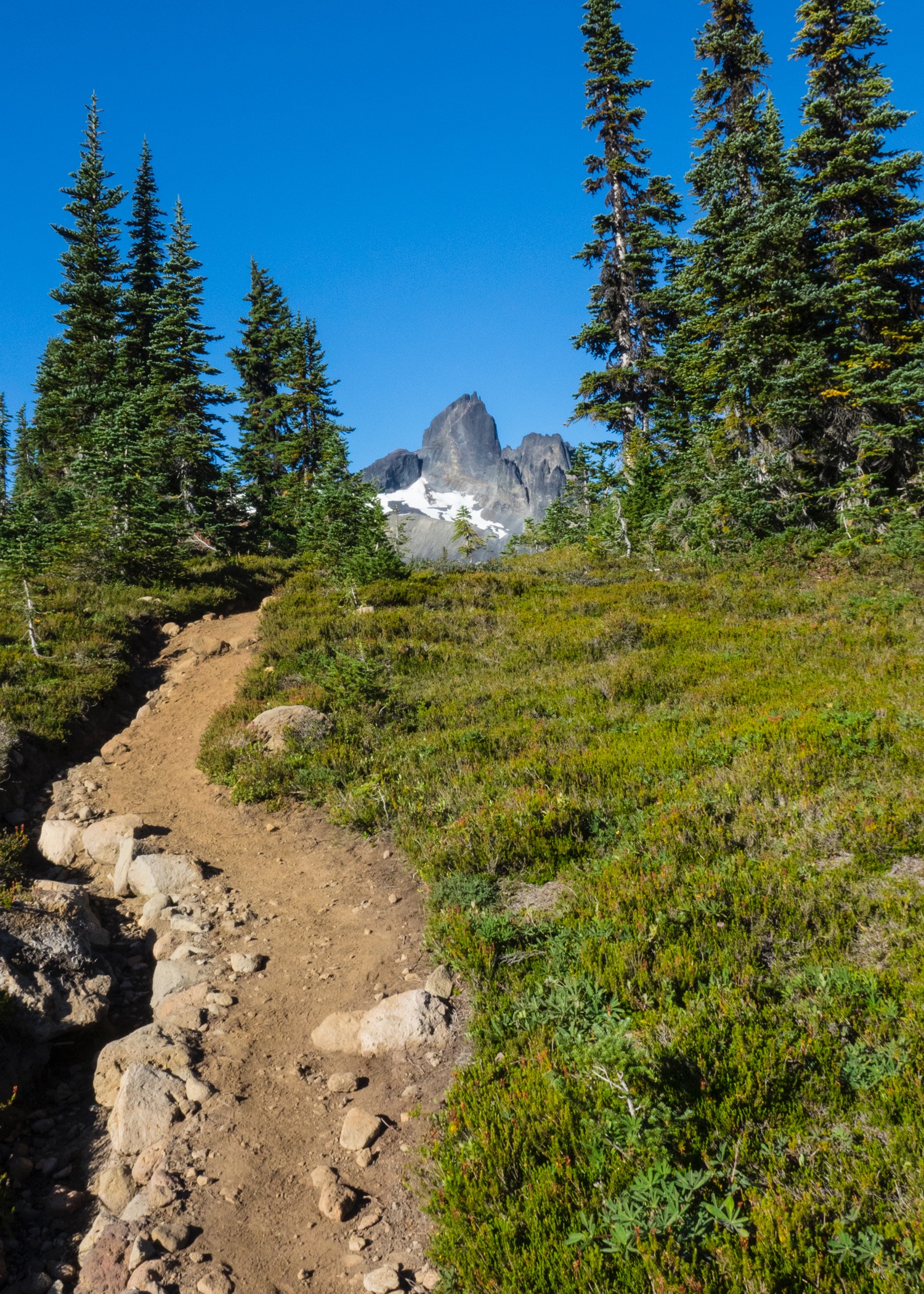
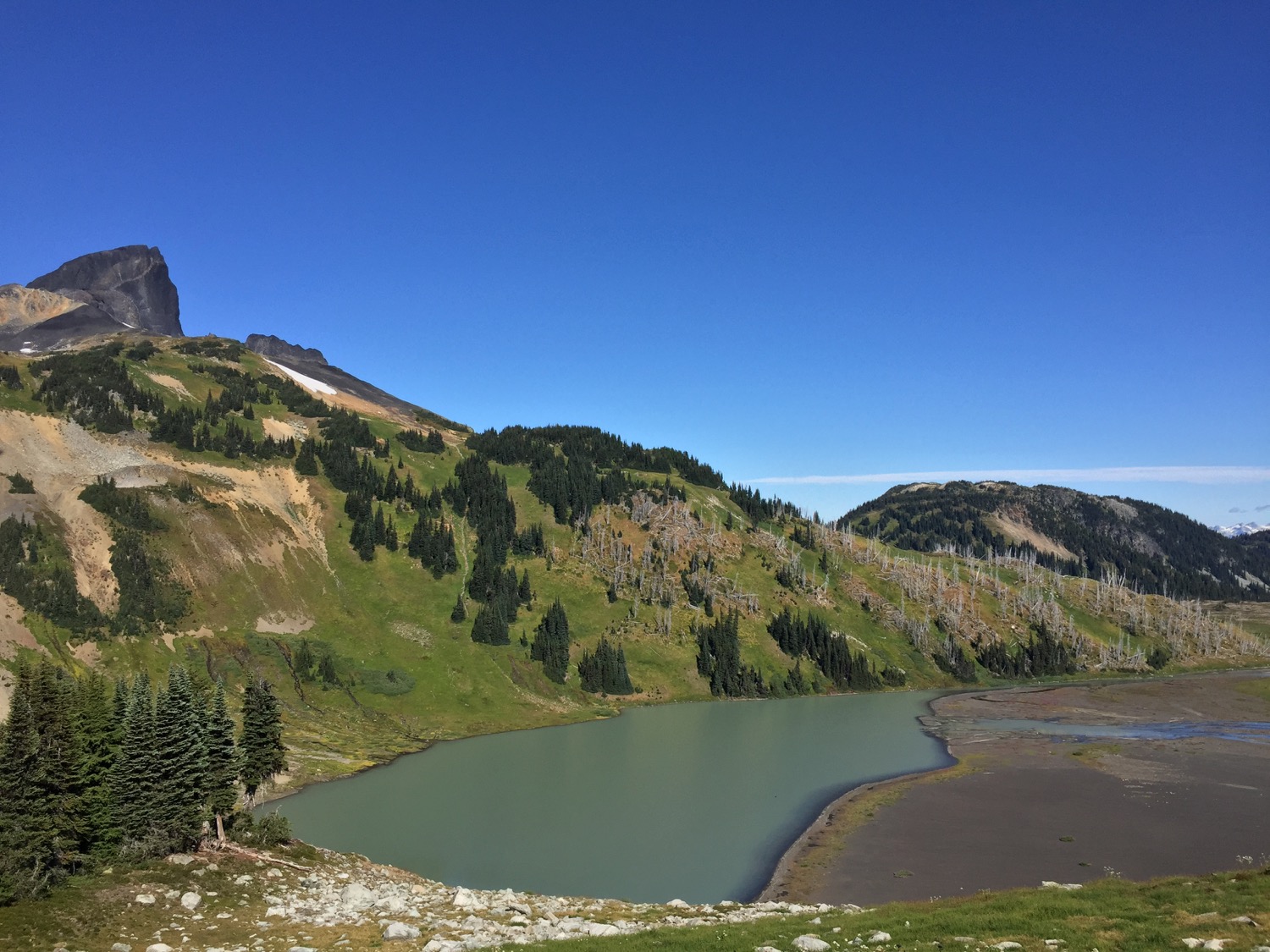
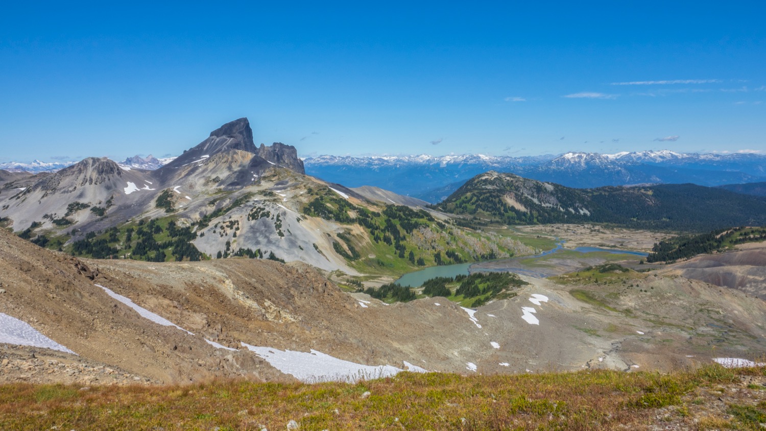
After getting some shots, we had breakfast and got organized. From there it was onto the trail, and we were headed towards Black Tusk. Over the course of the day we headed first towards, and the around the base of Black Tusk. It was amazing to see the mountain change as we moved around it. Green and white colours appeared and disappeared in places as the view changed.
The trail leads ever on.
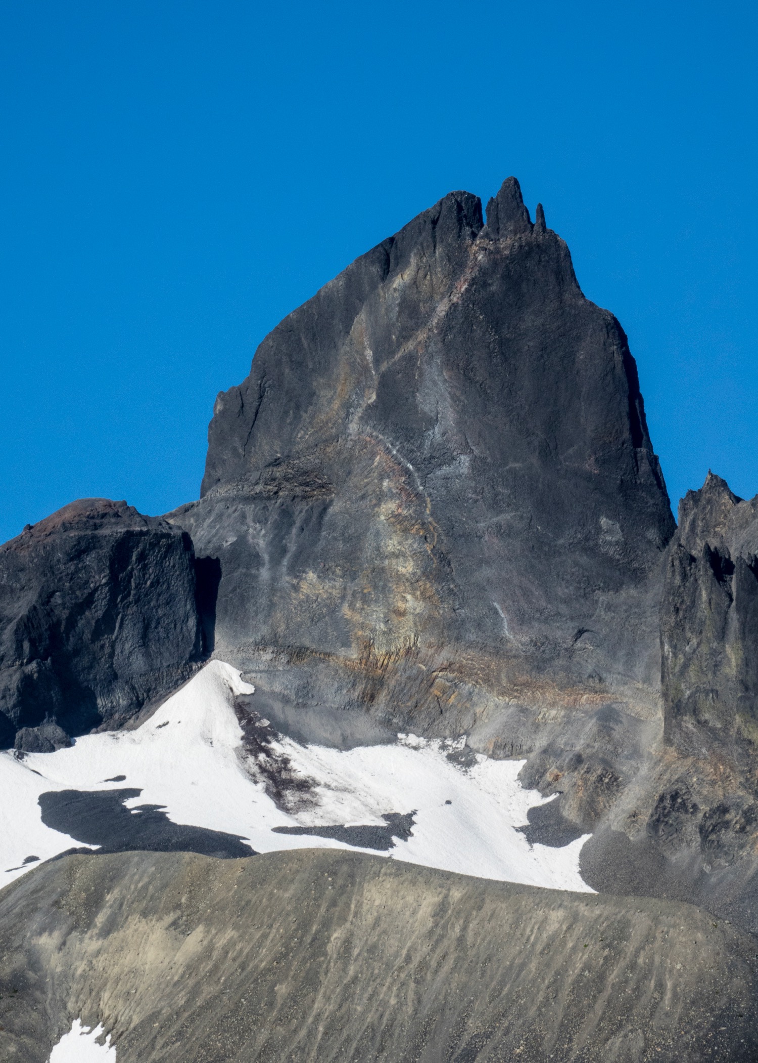
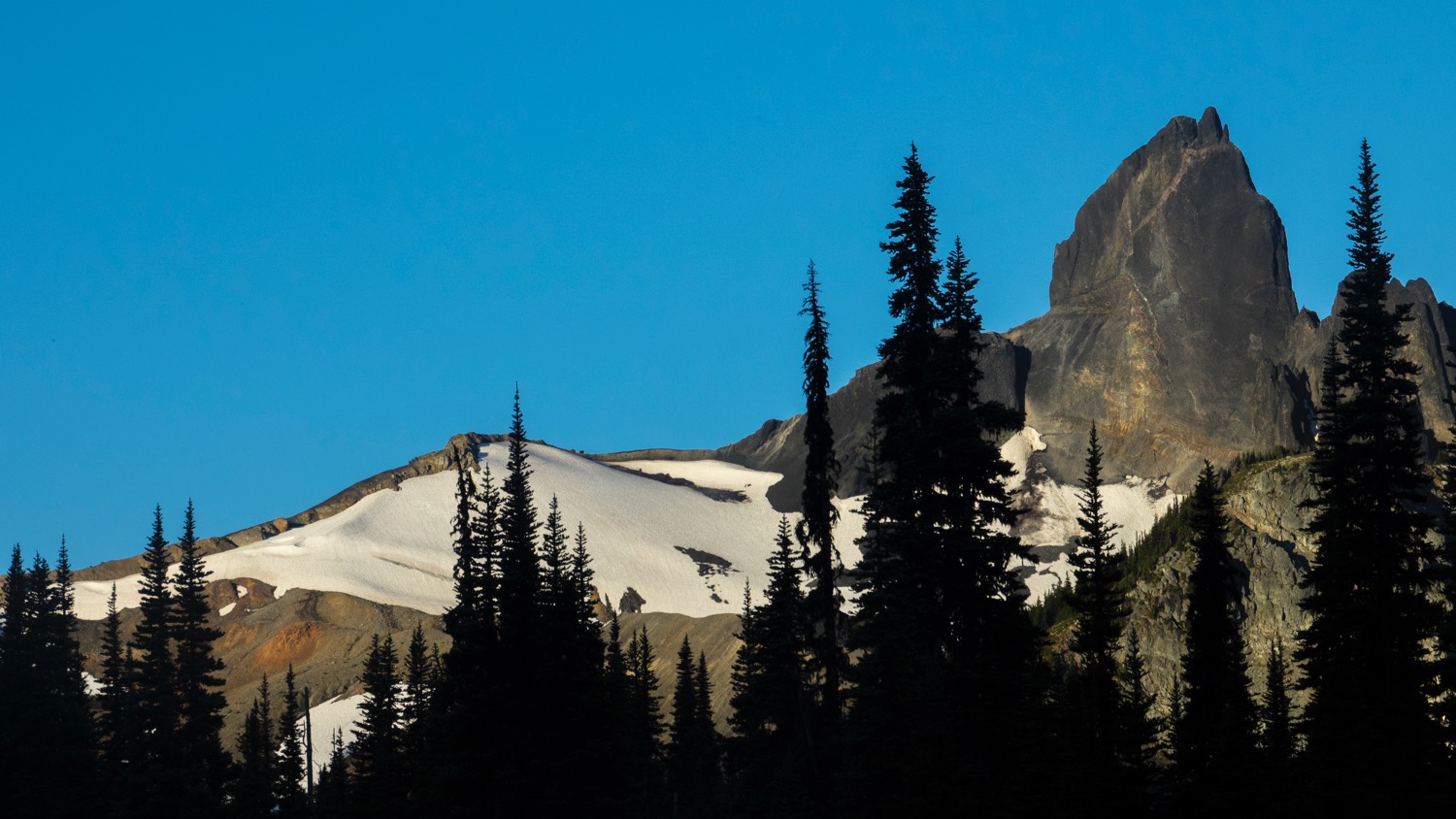
Black Tusk close up.
Glaciers and greenery on the slopes.
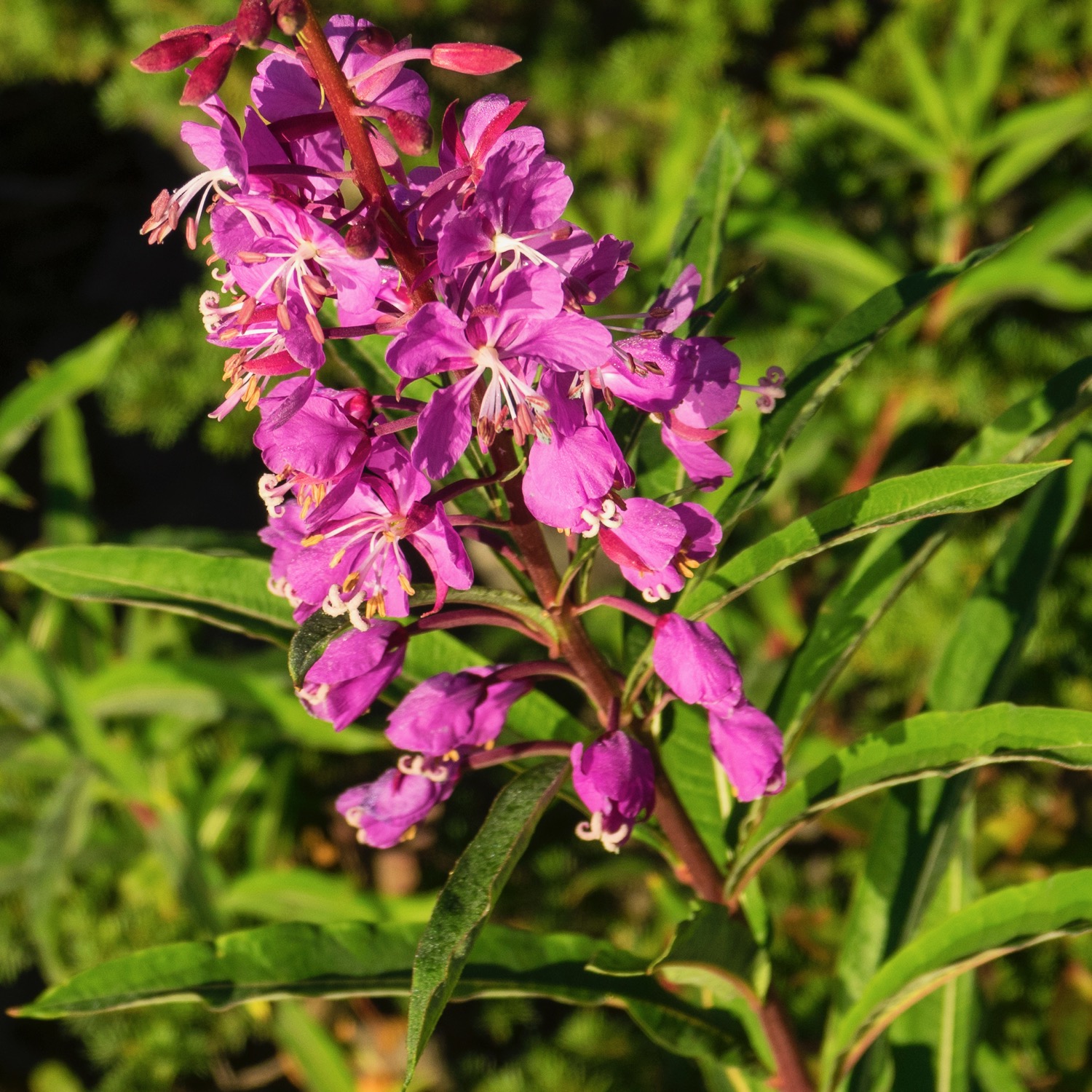
Most of the wild flowers were done for the season, but a few remained.
Panoramic view of Black Tusk as we made our way around it.
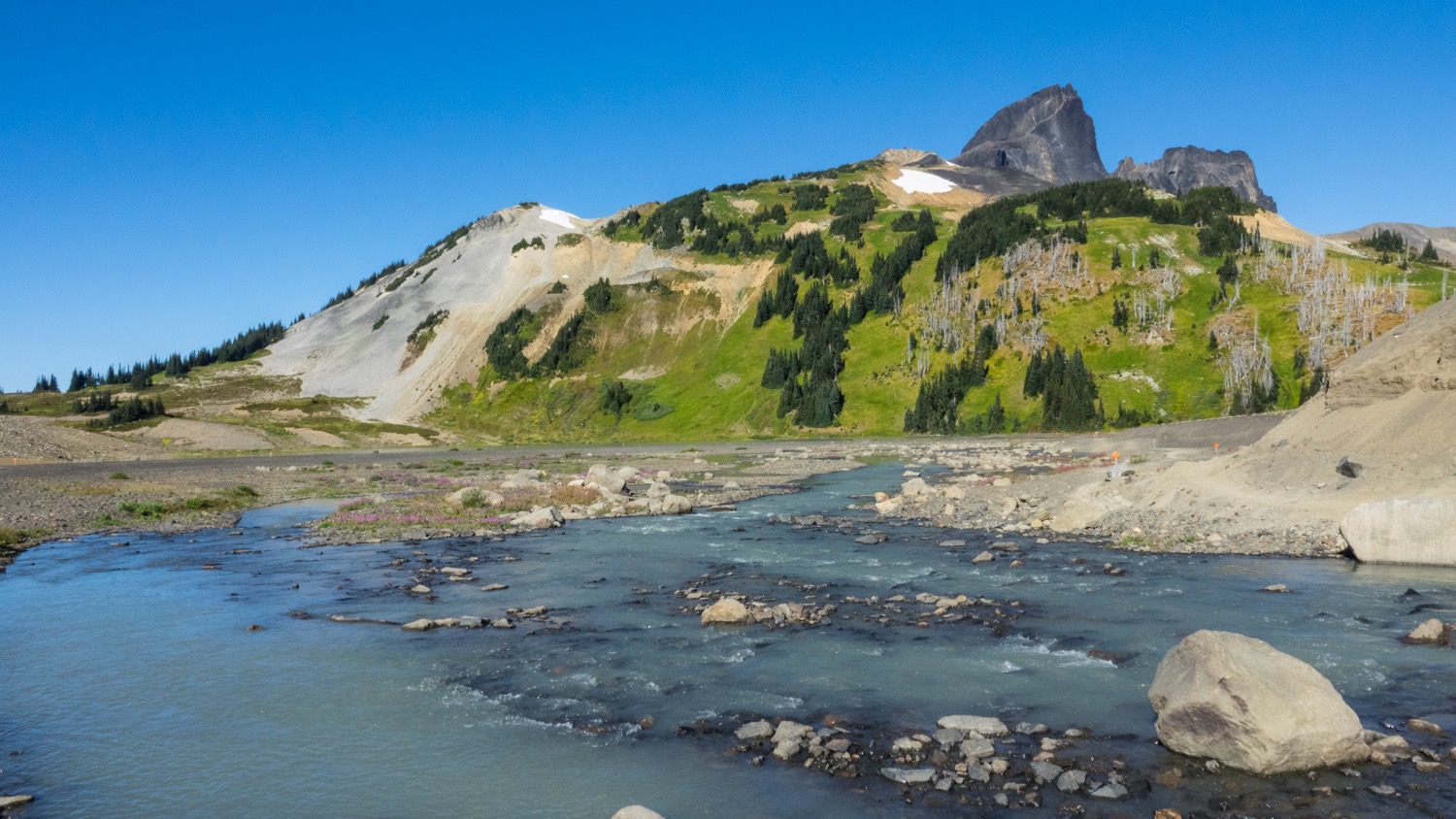
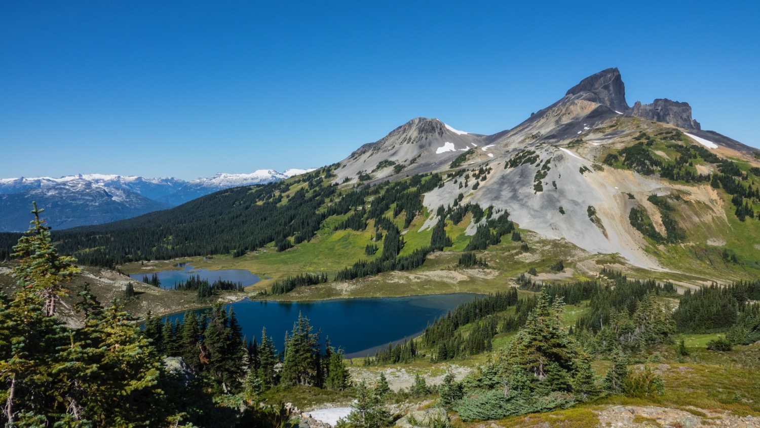
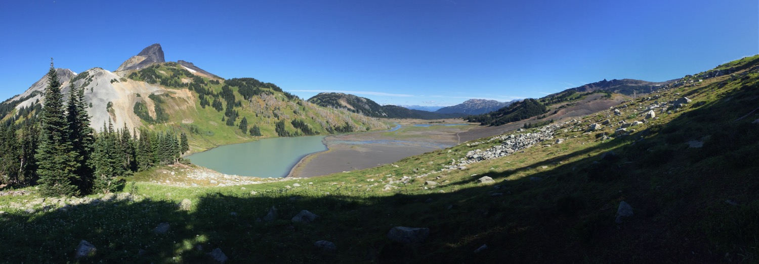
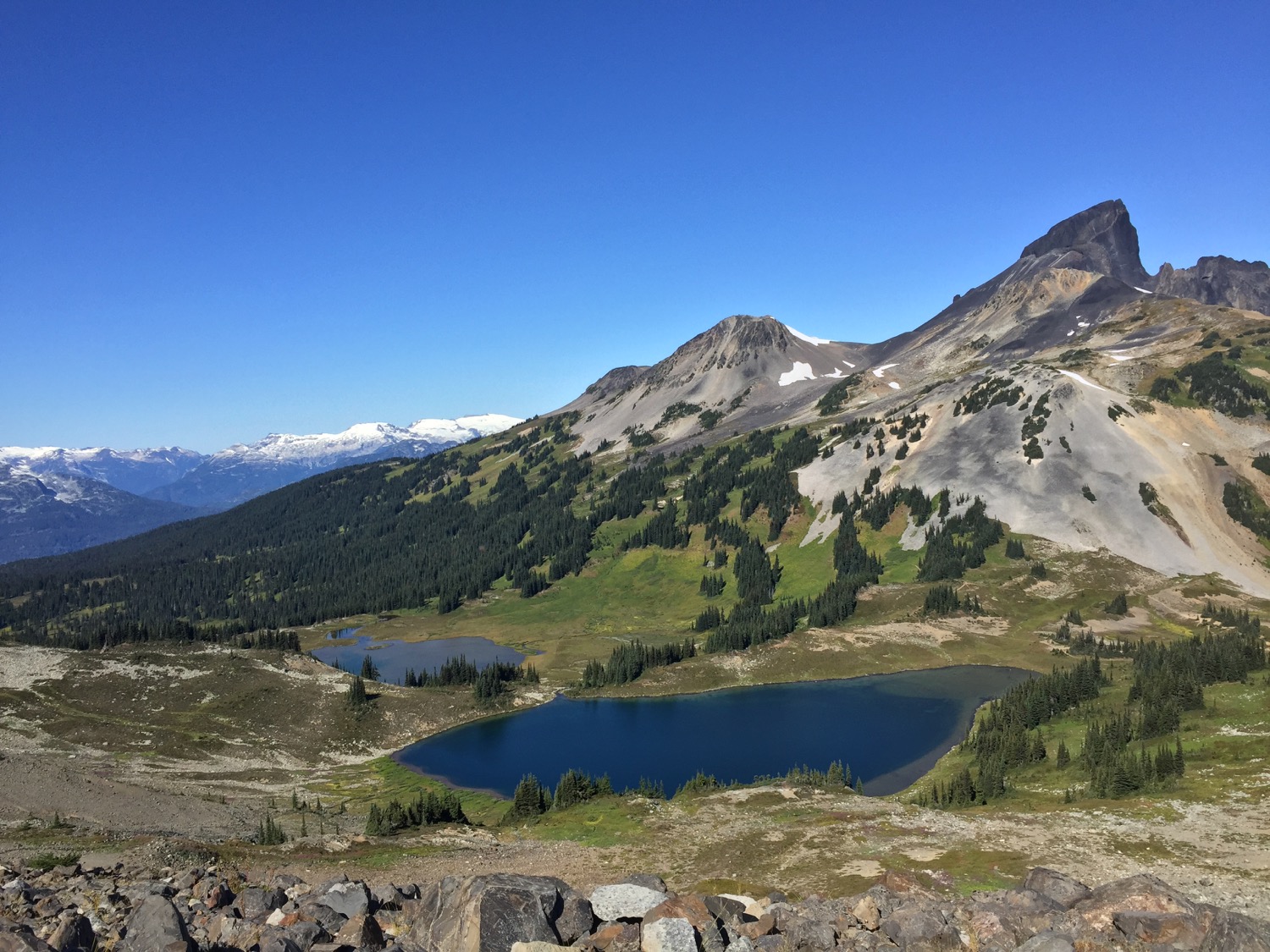
The middle stretch of the hike was quite interesting, as the terrain varied quite a bit. We passed by a number of small lakes, hiked across what looked like eroded lava fields, and eventually crossed a glacial river. All the while Black Tusk loomed over us.
Another cool pano of Black Tusk.

We crossed this lava bed, as we got to some of the small lakes in the area.
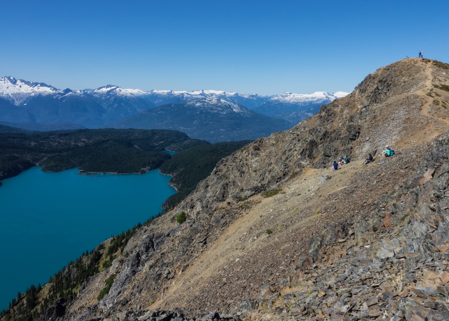
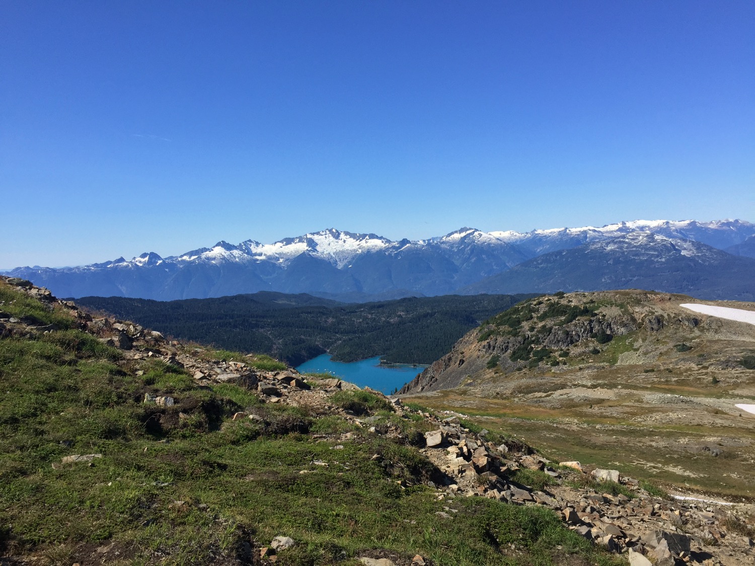
Not long after, we dropped our packs at a trail junction, and headed up to Panorama Ridge. This was a 6 km out and back that climbed straight up to a viewpoint overlooking Garibaldi Lake. While the trek was hard, the view was spectacular and completely worth it. One interesting side note was that one of my hiking boots had the heel delaminate half way up the trail to Panorama Ridge, making the rest of the day quite a bit more difficult that I had really wanted.
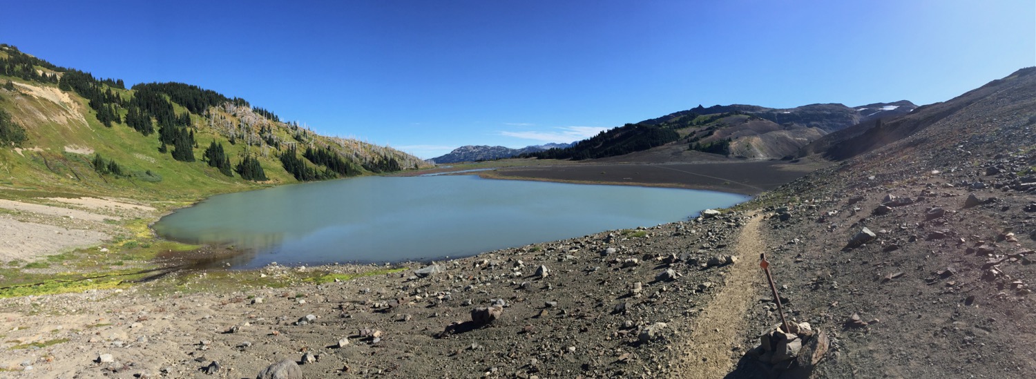
An early view back on Black Tusk Lake (I think) as we started the climb up to Panorama Ridge.
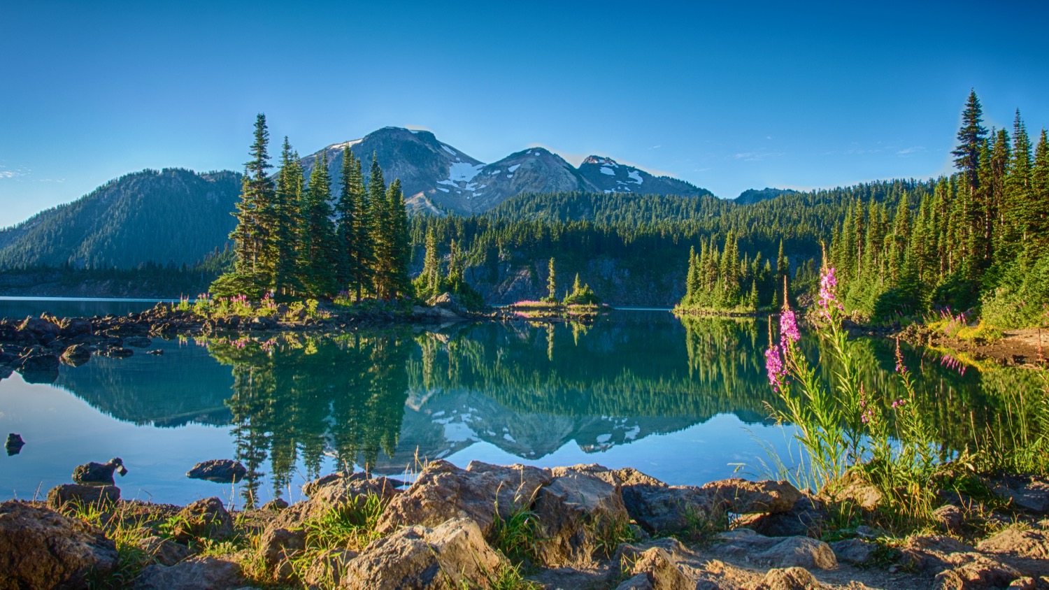
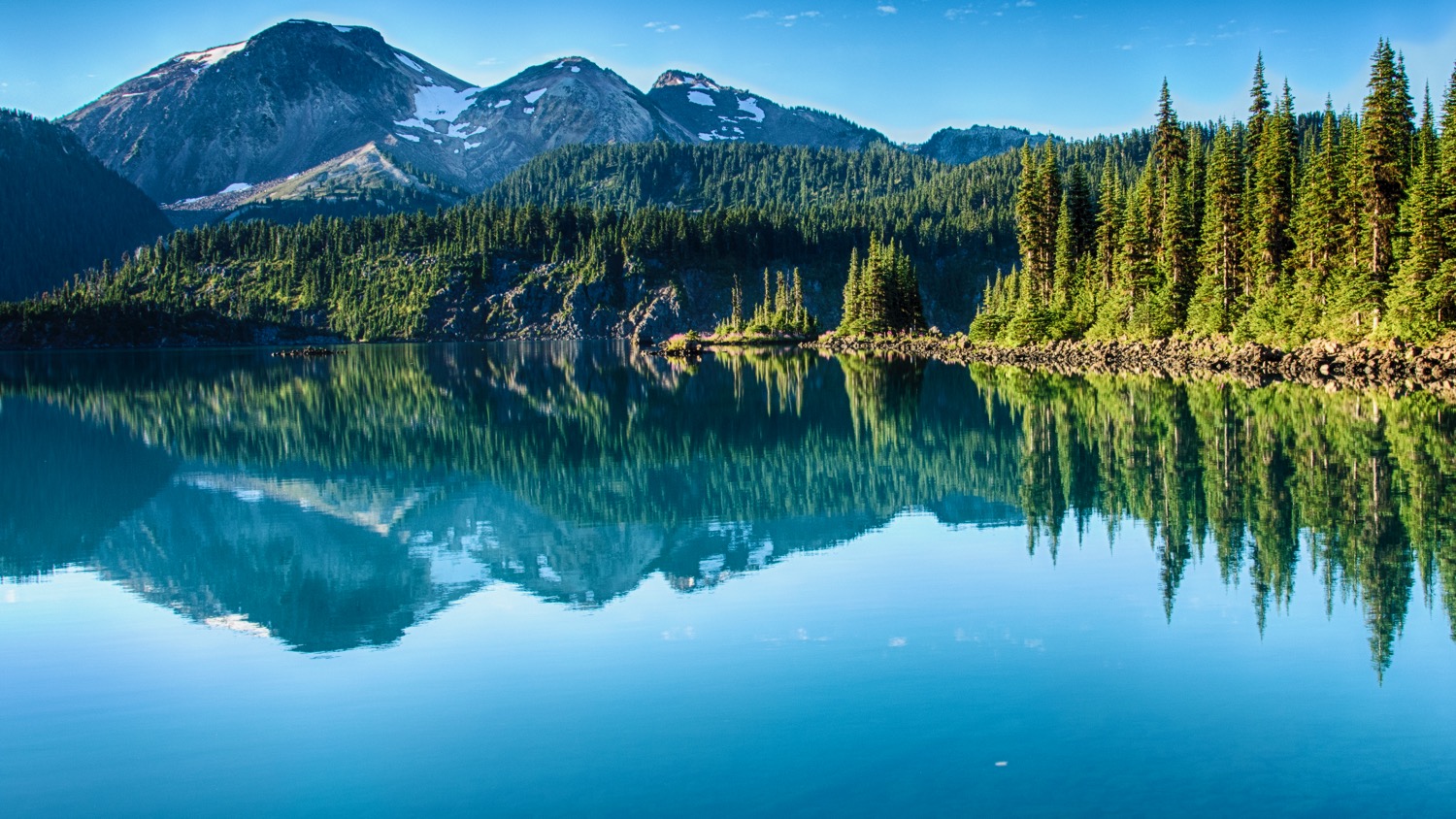
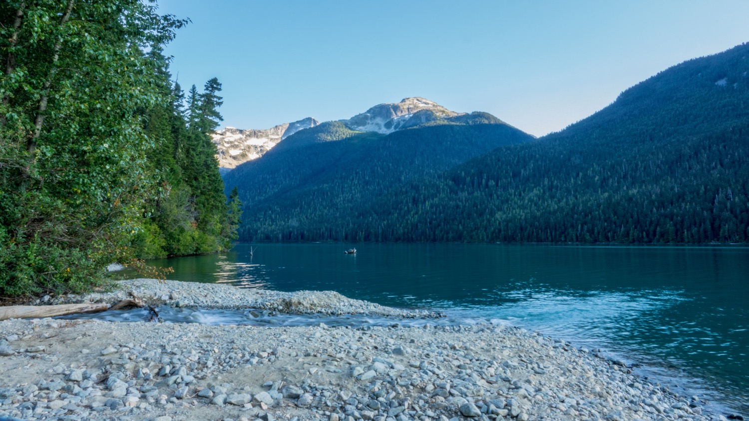
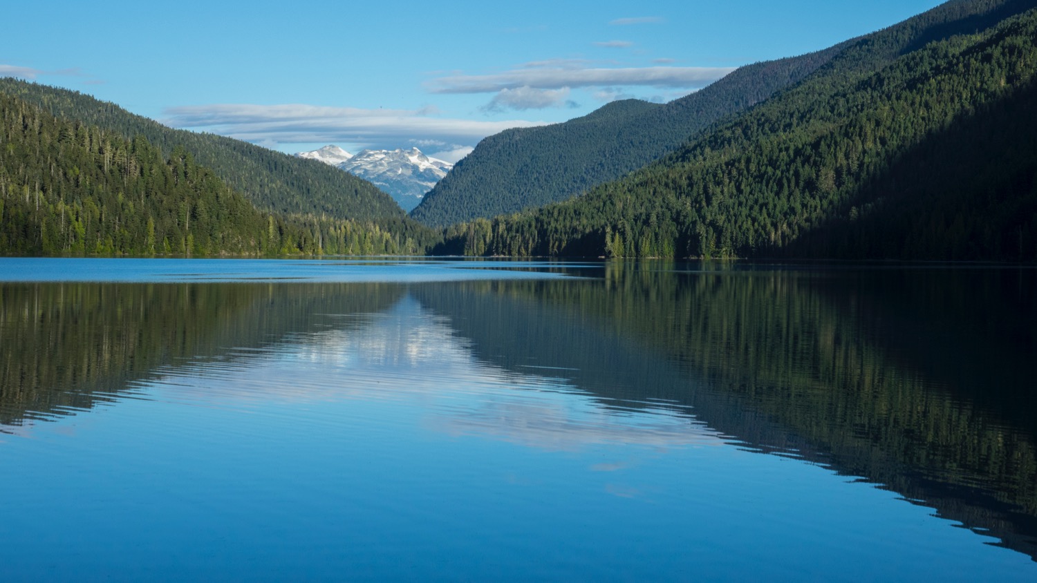
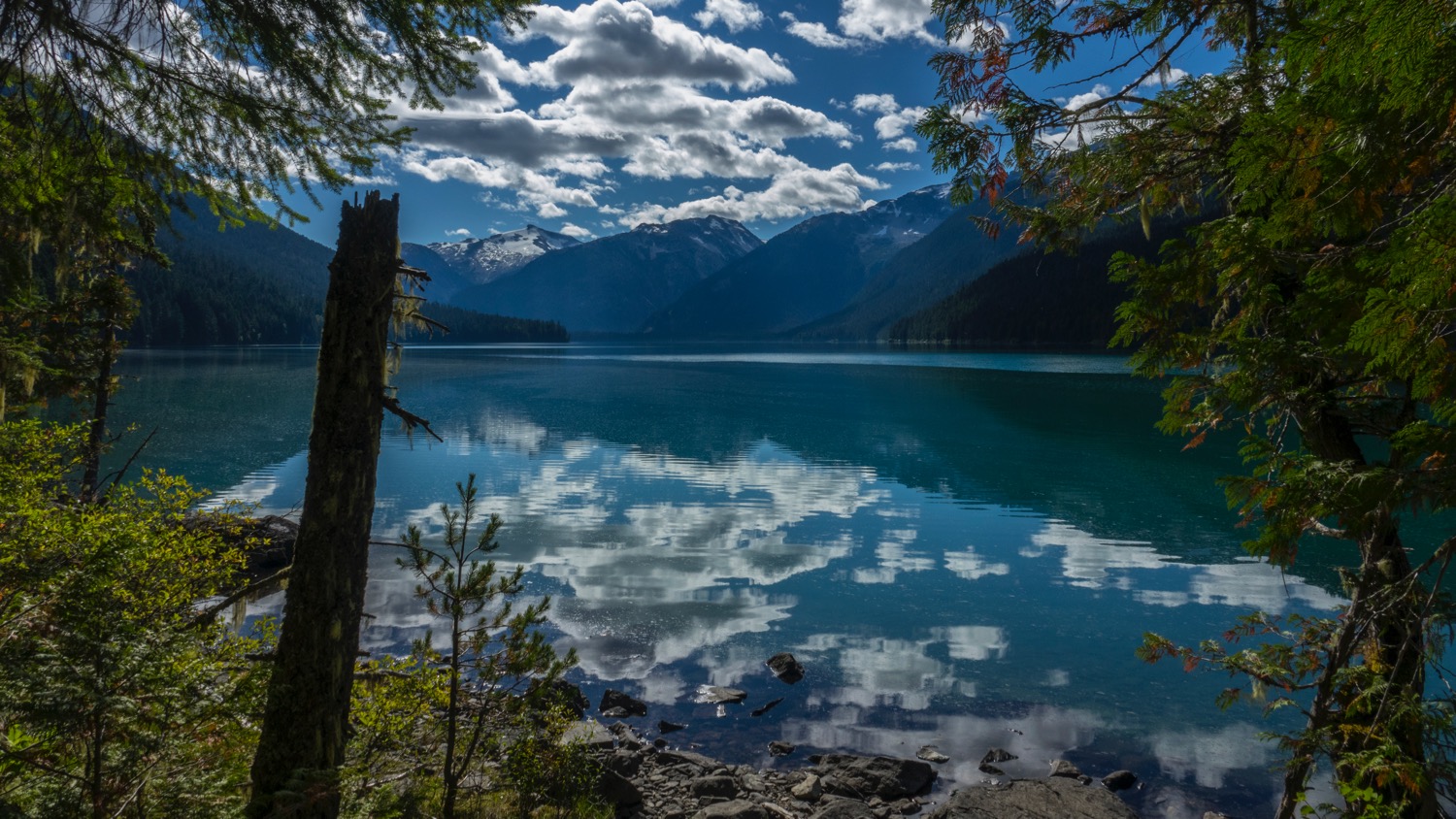
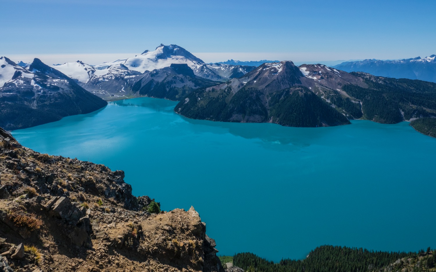
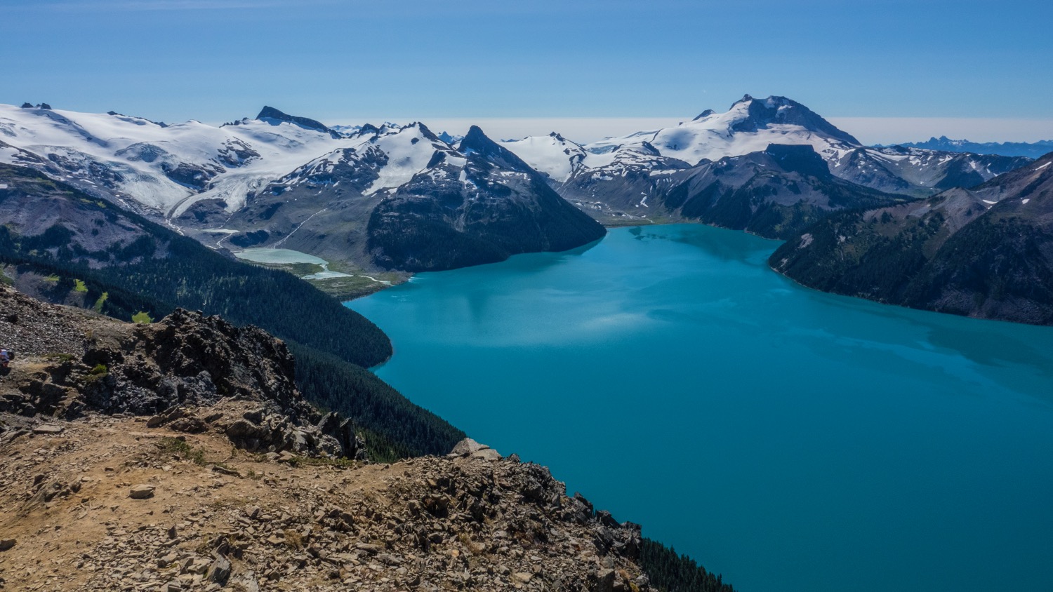
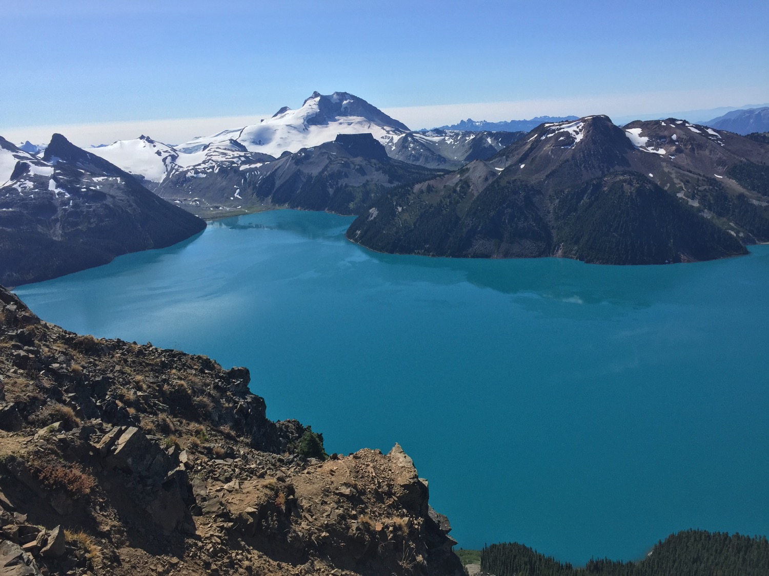
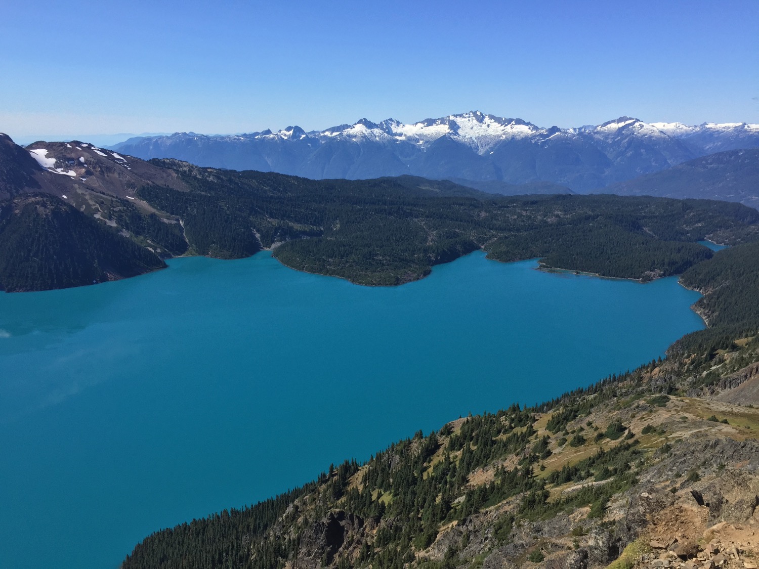
The full view of Garibaldi Lake.
Justine at Panorama Ridge, overlooking Garibaldi Lake.
A zoomed in view of the glacier melt into Garibaldi Lake.
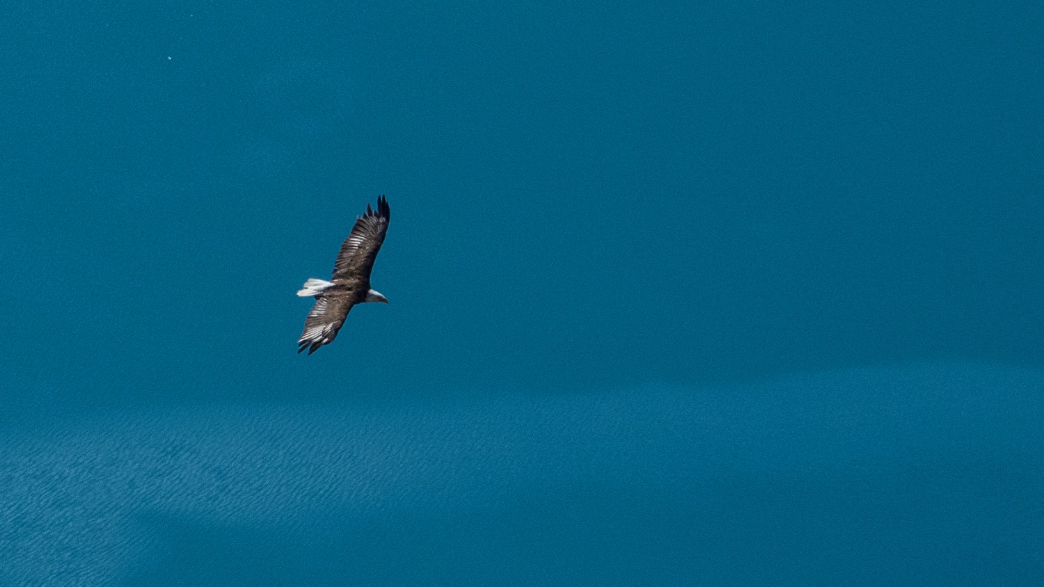
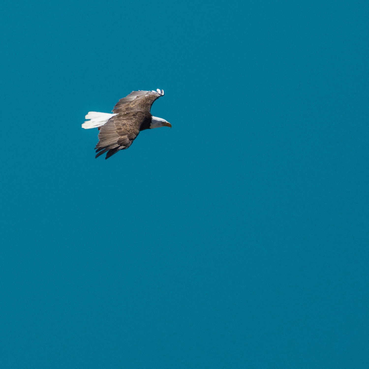
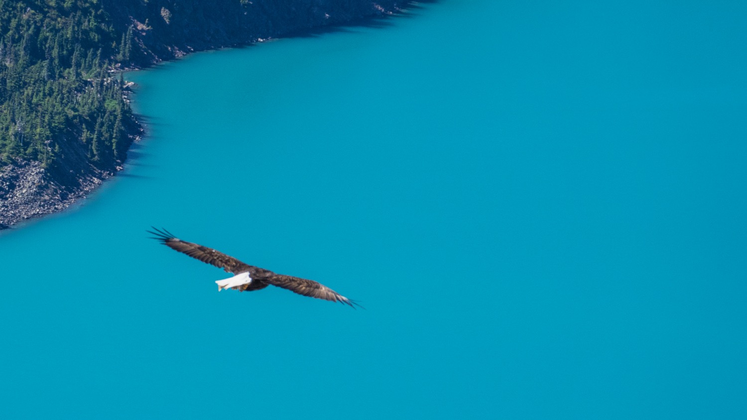
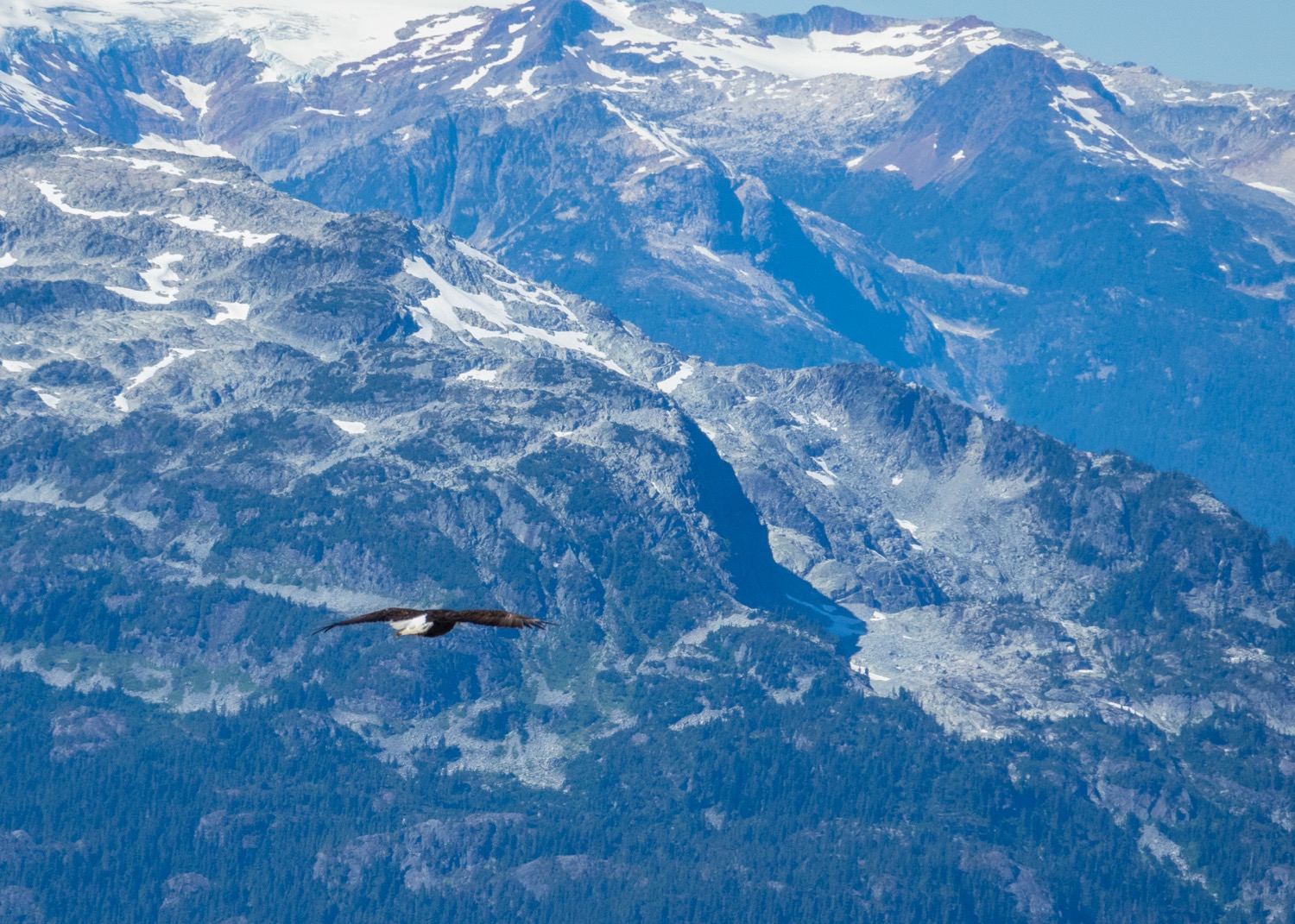
As we sat enjoying the incredible view, an eagle flew from down below us, and circled up to our level, and then above on the thermals. It looked close enough to touch!
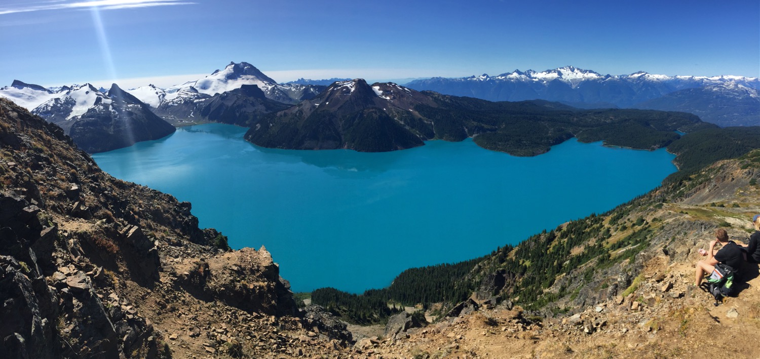
More beautiful views of Black Tusk.
Panoramic view the other direction.
We sat at the top of Panorama Ridge for a while, just taking in the view and the incredible scenery. We had a snack and some water, but eventually needed to head back down. The trip down was a bit easier than the way up, and soon we were back to our packs and the last 4.5 kms down to Garibaldi Lake, and our last night of our little adventure.
One of the many little waterfalls also the trail.
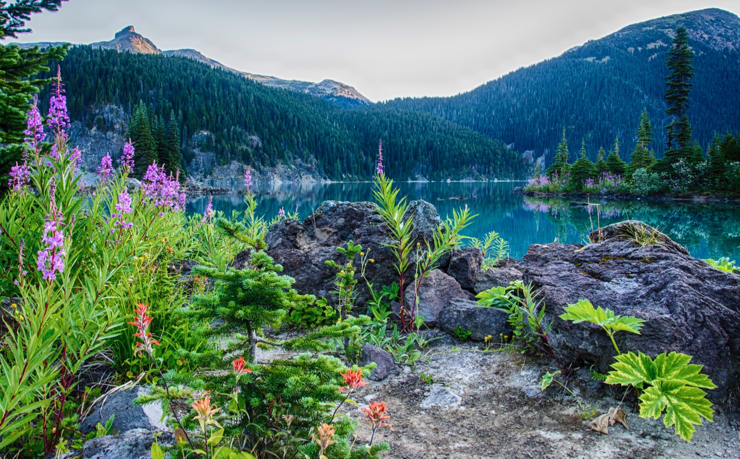
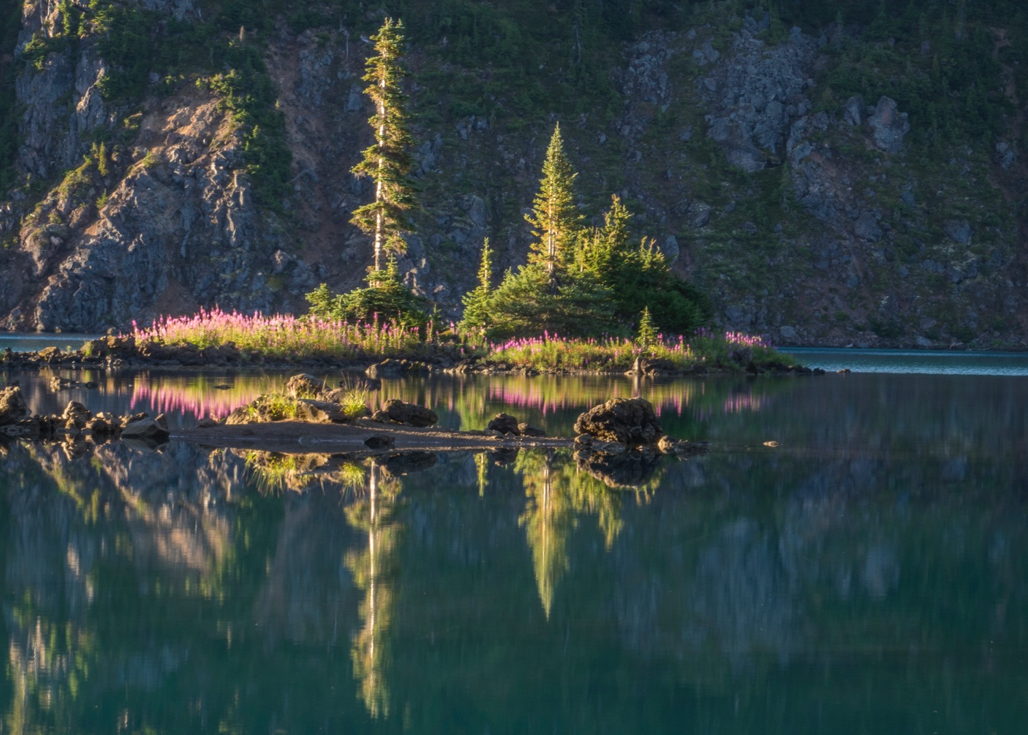
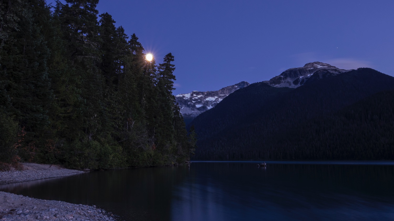
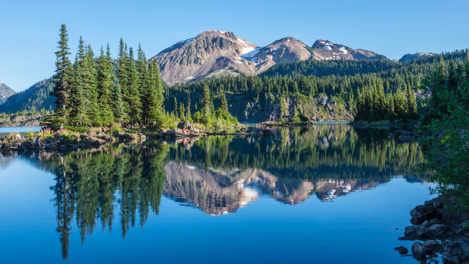
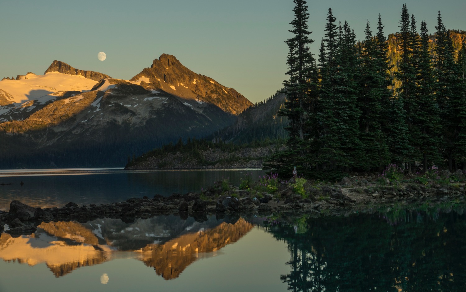
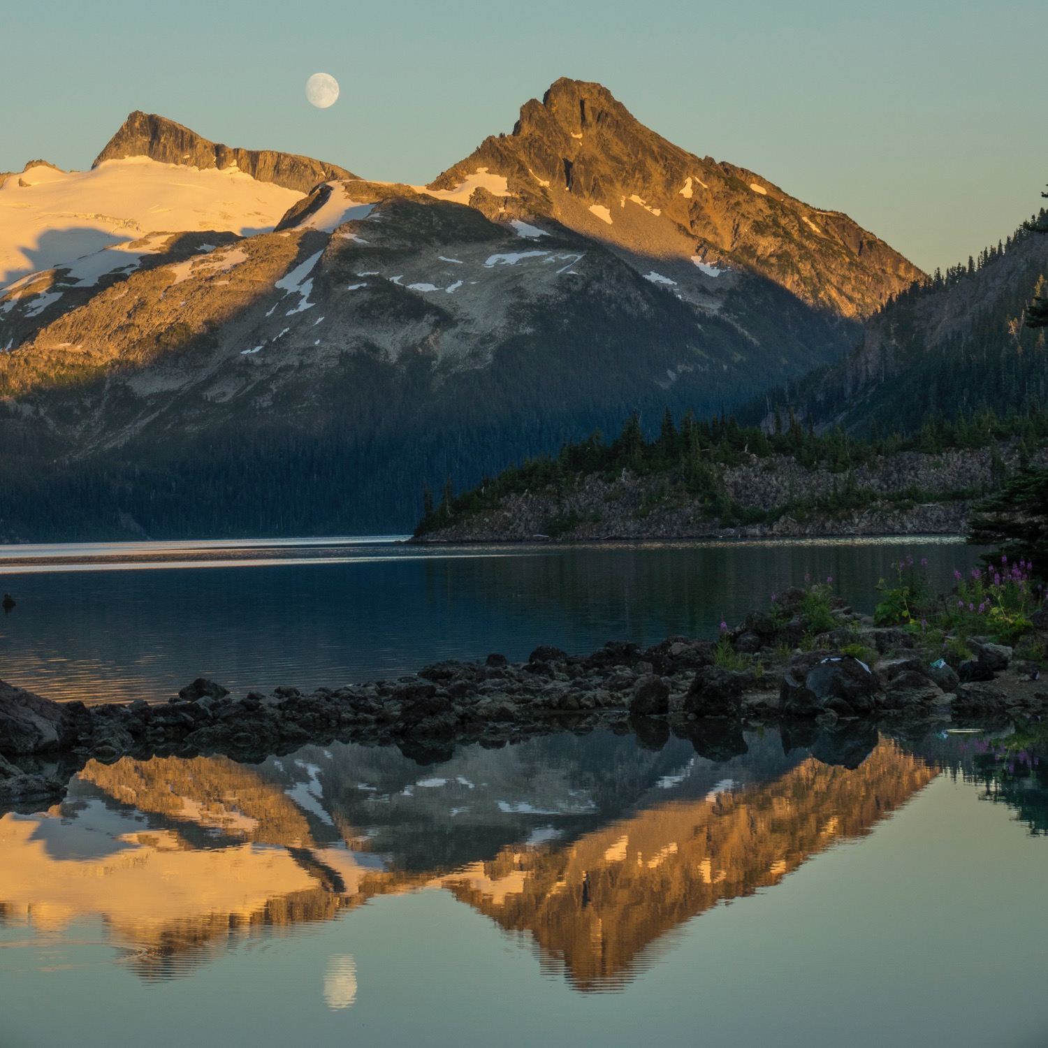
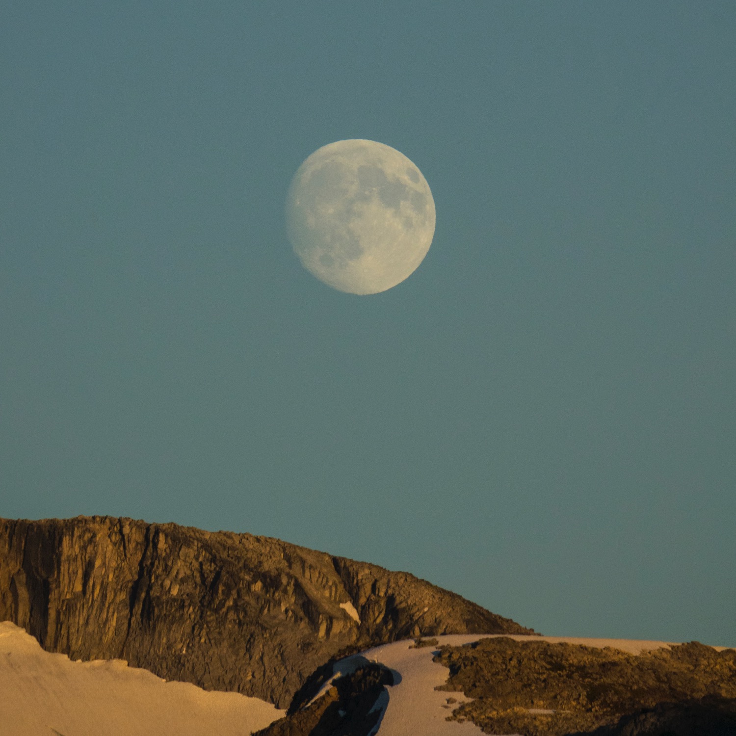
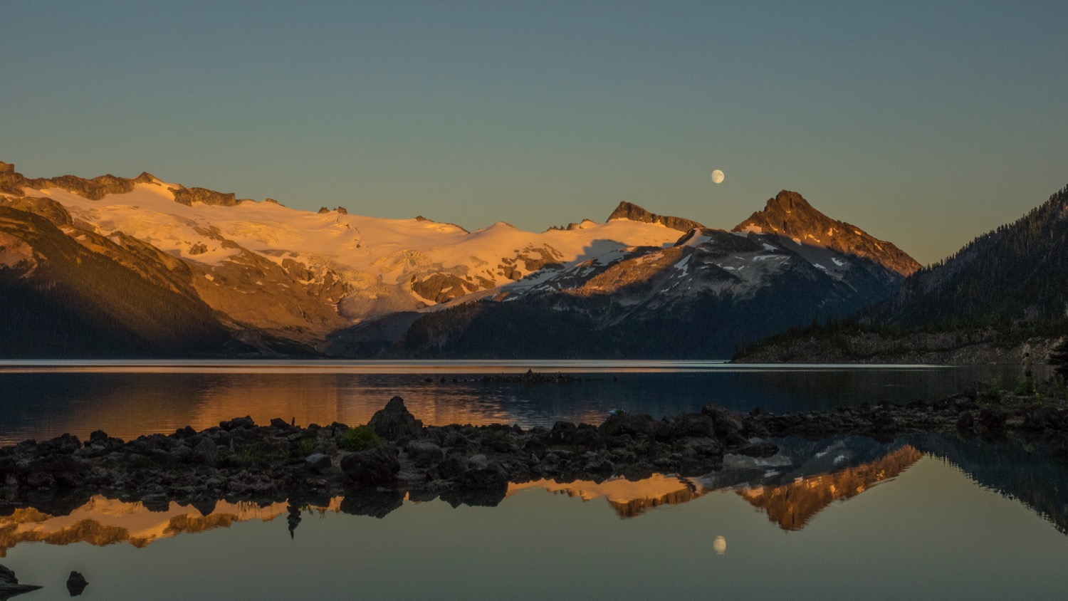
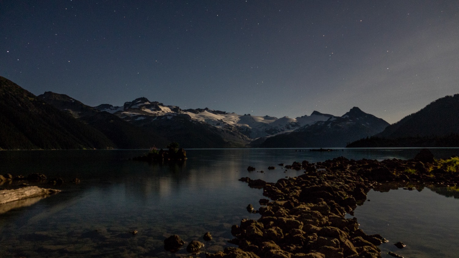
We hiked down to the lake, and managed to find a decent campsite for the night. We had a pretty relaxing evening after a huge day on the trails. We went for a swim in Garibaldi Lake (cold, but not as cold as Cheakamus), played some cards and chatted with another couple that was hanging out as well. We had a pretty amazing moonrise, and took some pictures around the lake.


Day 4
Garibaldi Lake to the Parking Lot
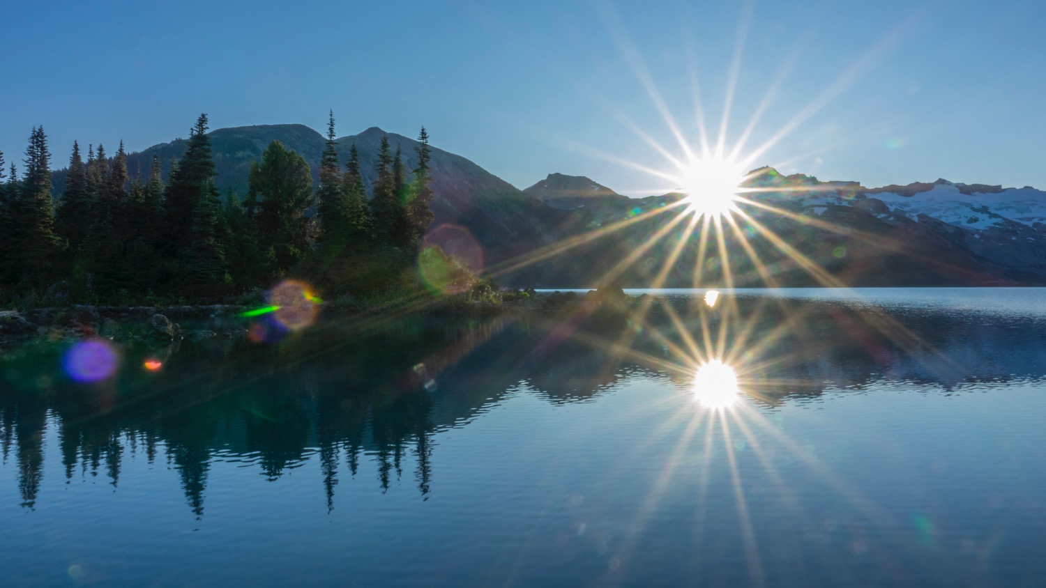
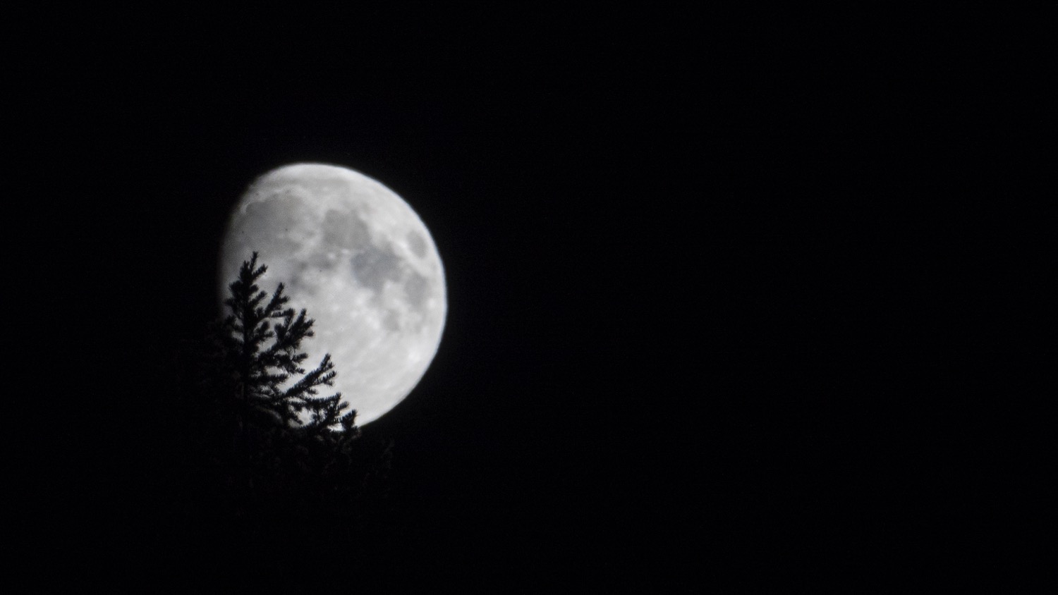
Our last day was pretty uneventful. I got up early and took some pictures, then we had some breakfast and packed up camp and headed back down the long, downhill slog to the parking lot. While it was a tough trip, it was well worth the effort to explore some amazing backcountry so close to home. I think we're done with the backpacking for a bit, but we'll see.