I went on my first trip with my new job at MDA this week. It was a short trip down to San Diego for the ESRI User Conference. This is one of the biggest user conferences I've been to - 15,000 attendees - and it was a great opportunity for me to learn a bunch of things about this new business I'm in.
The flight down was a short, easy one, and we had some great views of the big mountains from the plane. On my side, I had Mount Rainier, Mount Adams and the Columbia River.
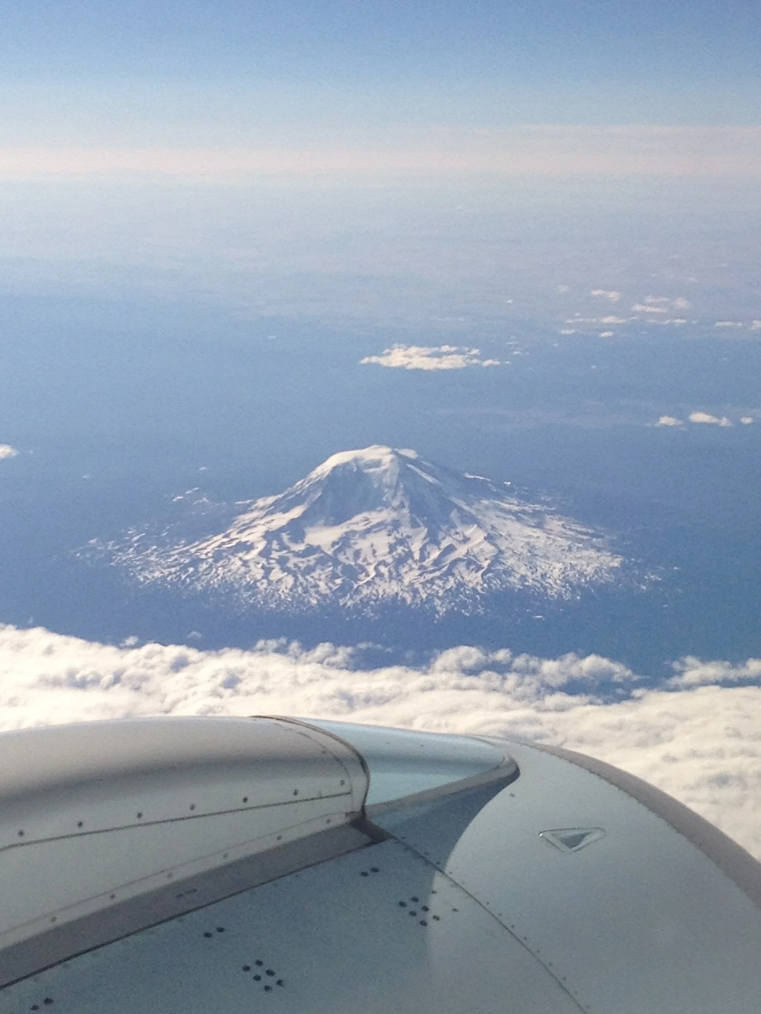
Mount Rainier from the airplane.
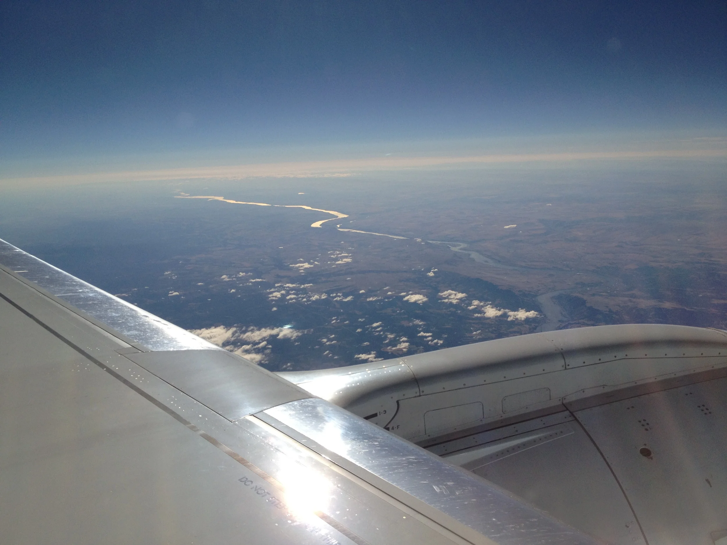
The Columbia River snakes off inland, towards the horizon.
San Diego is a great city - perfect weather almost all the time, a fun downtown core and lots to do if you have the time. I didn't this trip, but it was nice to enjoy the sunshine, leaving the rain and clouds behind in Vancouver. Last week, San Diego hosted Comic-Con, and there were still a few reminders of the massive annual event around town.

I just missed Comic-Con by a week!
The show itself was quite good for me. I learned a lot, got to see some of the competitors and to check out some companies that might offer some partnership opportunities. The sessions were OK - some were good, others a bit of a waste of time. Pretty standard fair for a show this size. Being a GIS (Geographic Information System) show, there were lots of really cool maps all over the place. My favorite was a huge (~30' x 15') showing the relative size of the different world football leagues. The photo doesn't do it justice.
All in all it was a well-spent couple of days and the trip home provided some more amazing views of the mountains.