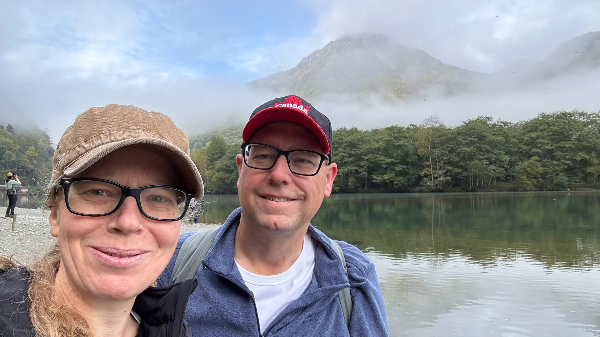
Tuesday October 7th
After our huge day of hiking yesterday, we followed it up with another big day - not quite as big but maybe harder as we ended up climbing 2/3 of a mountain. My poor, blistered feet may never be the same again.
As yesterday didn’t start early enough, we were up at 5:30 this morning to try and get down all the way to Taisho-ike Pond and back before breakfast. A little further than yesterday.
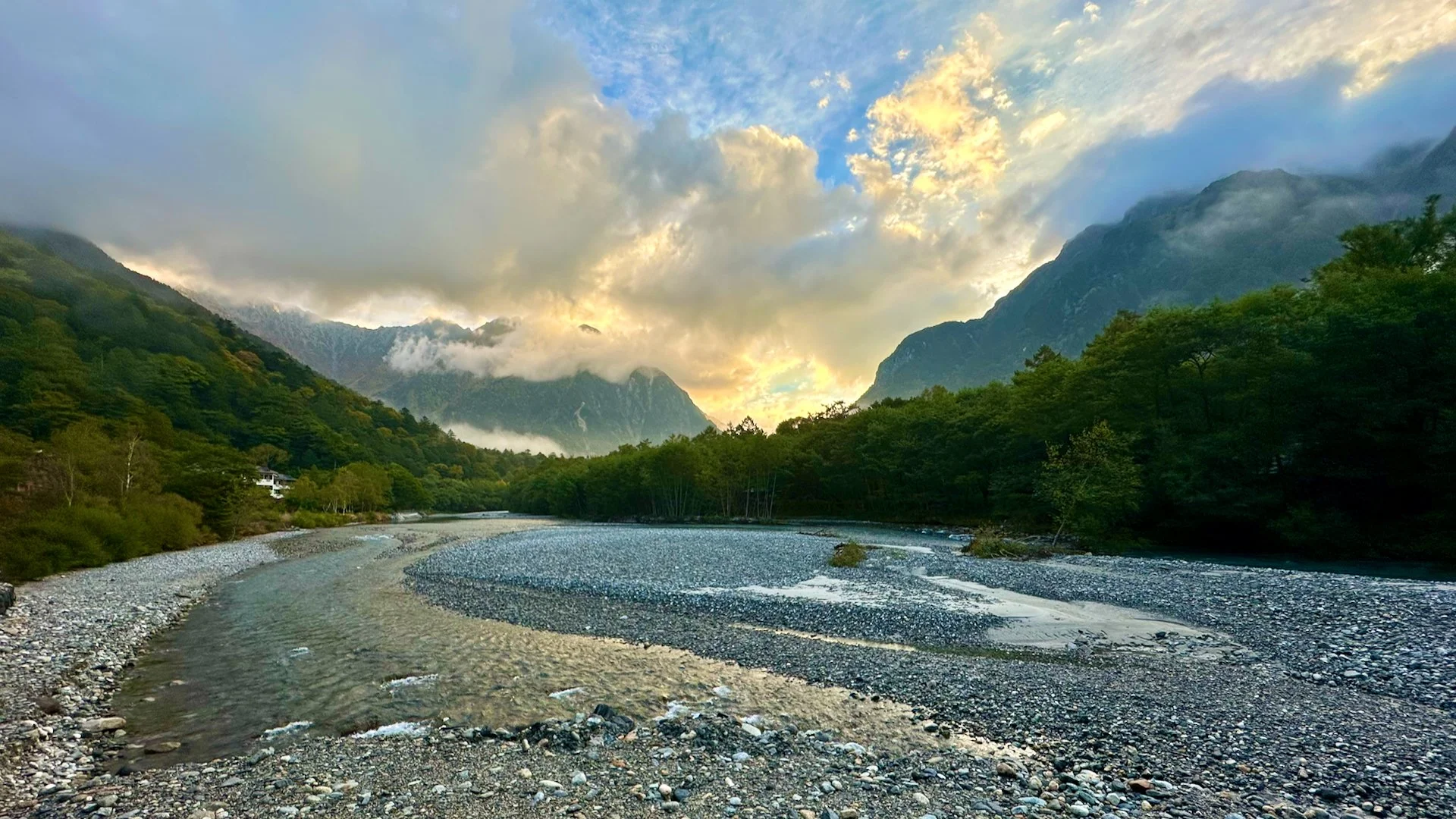
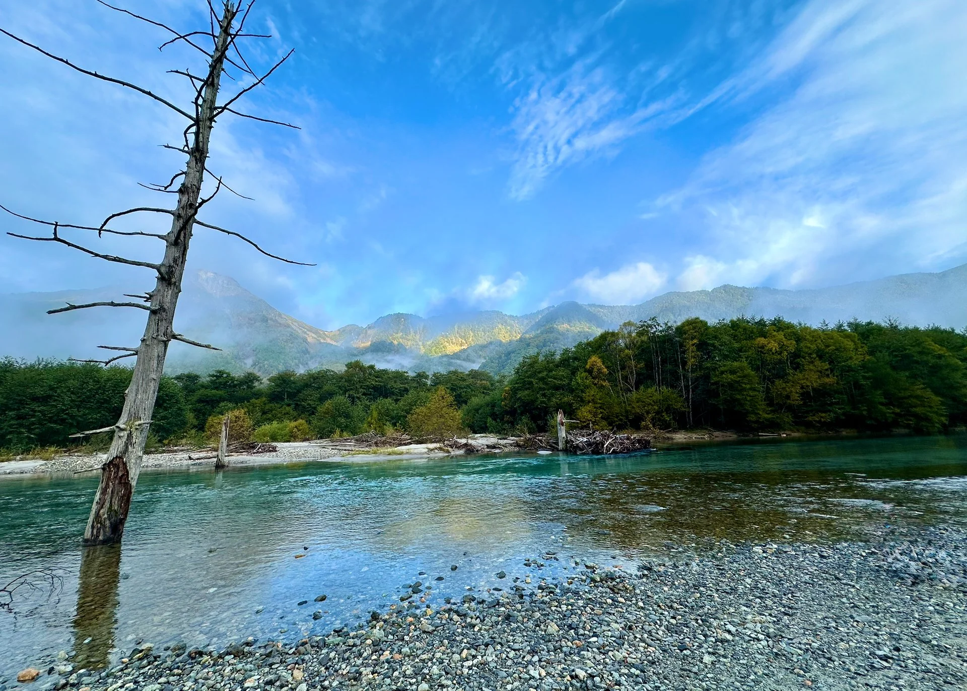
Another early start, and a spectacular sunrise to wake up to.
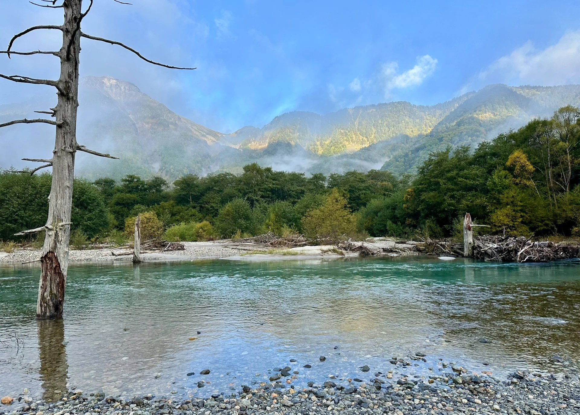
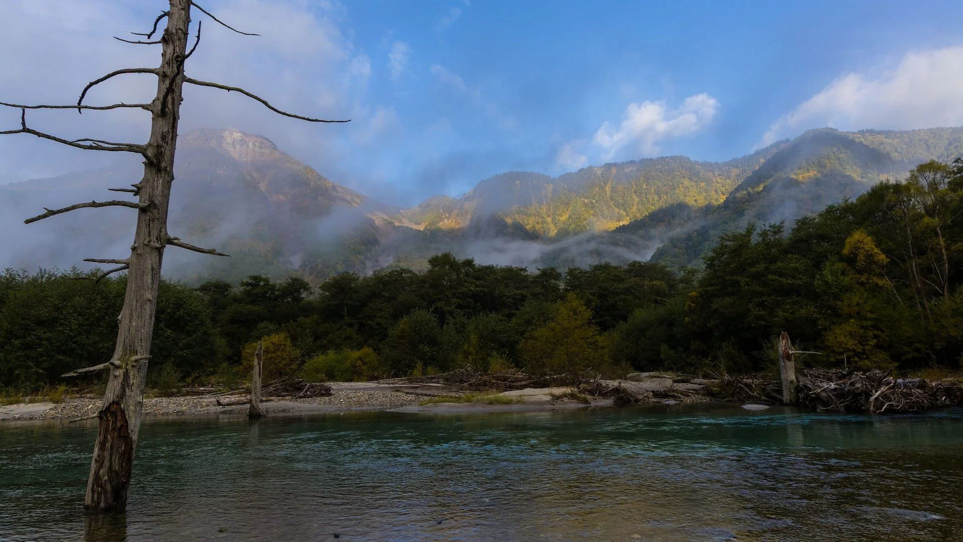
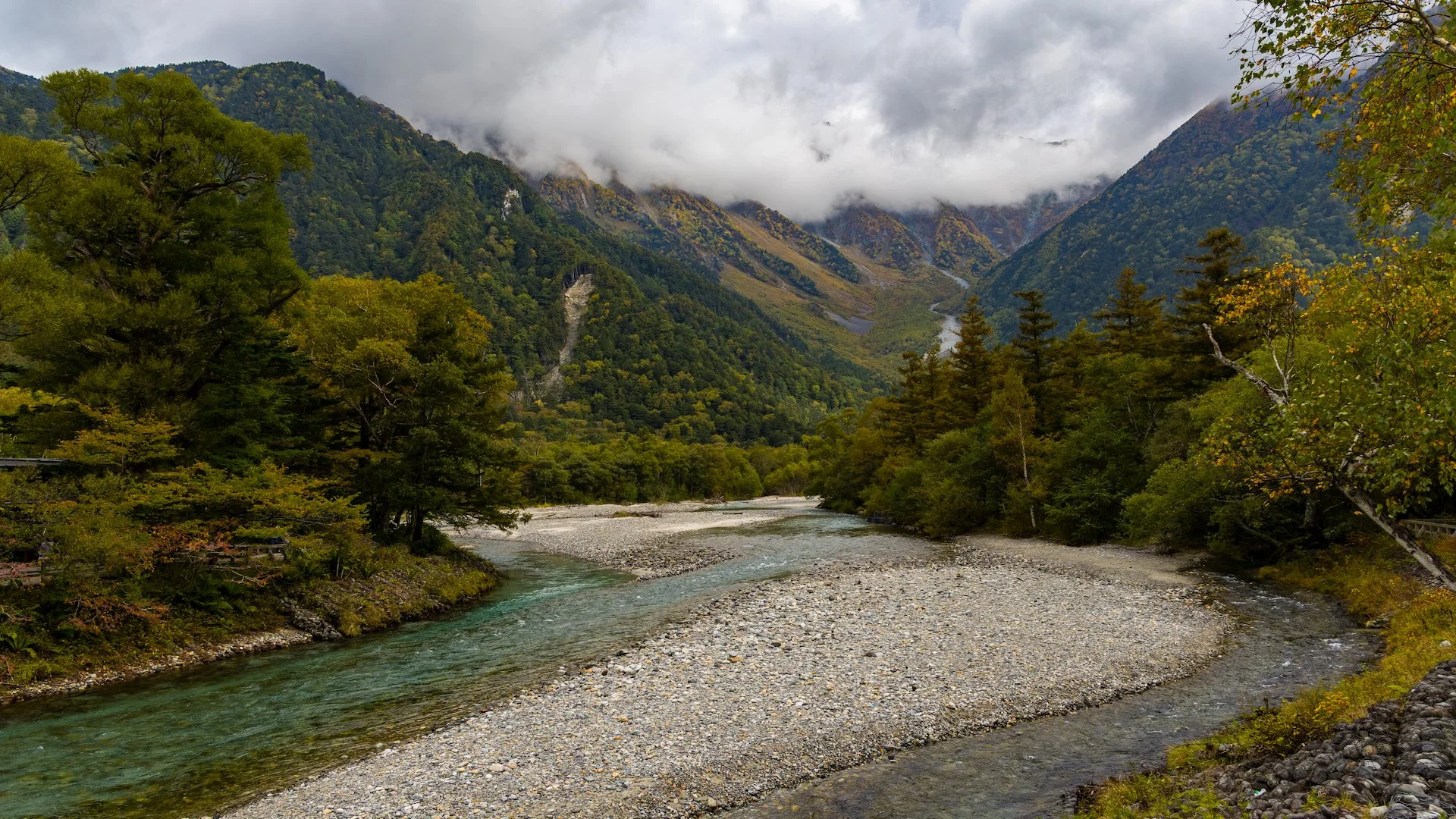
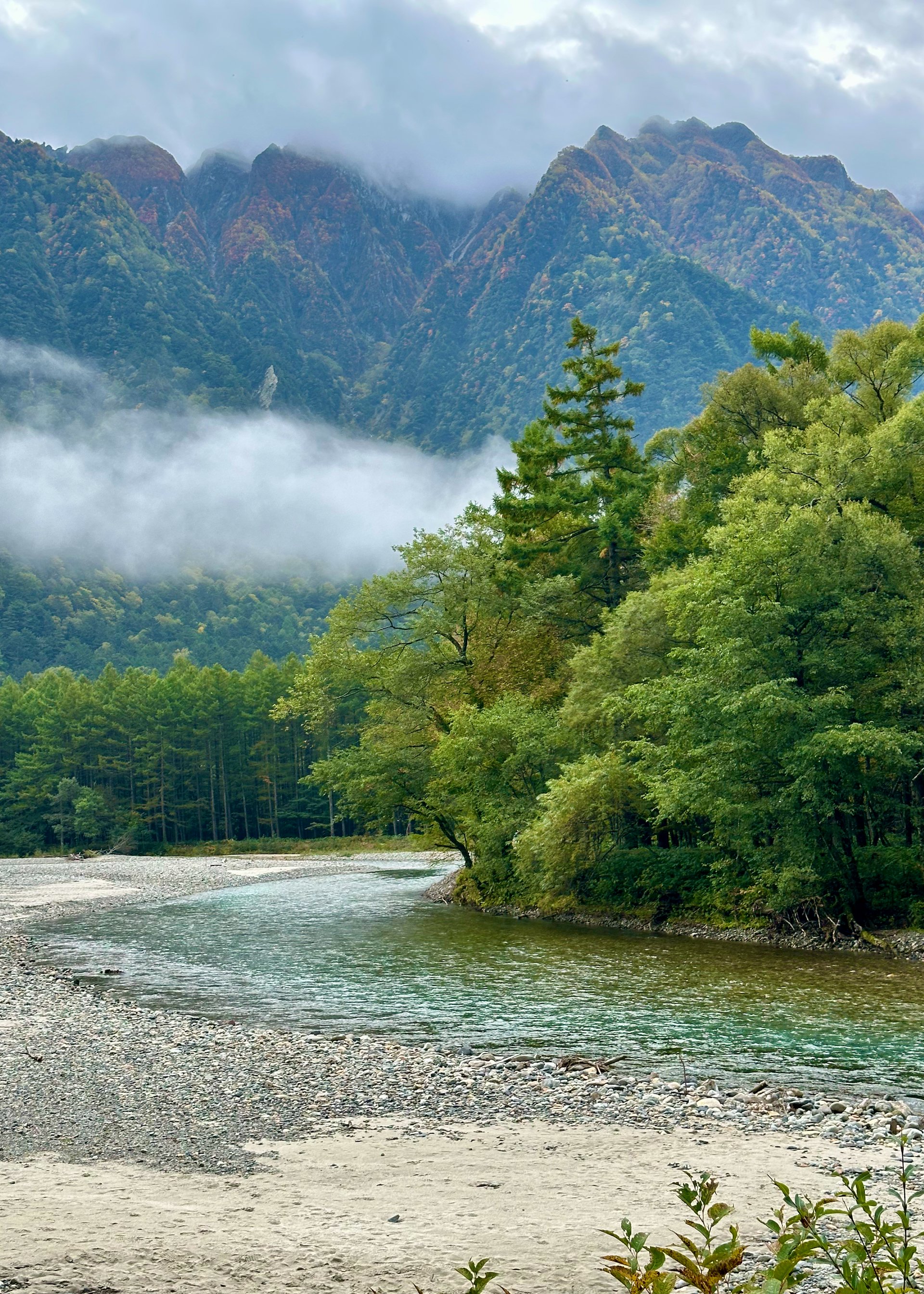
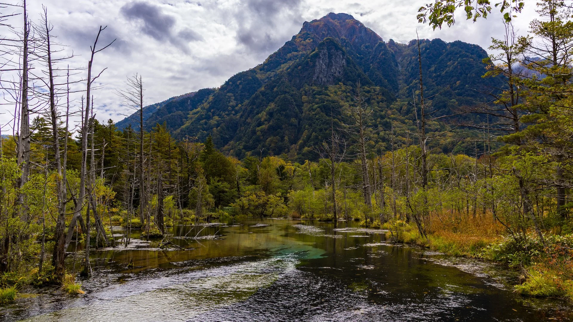
The view down river was particularly atmospheric.
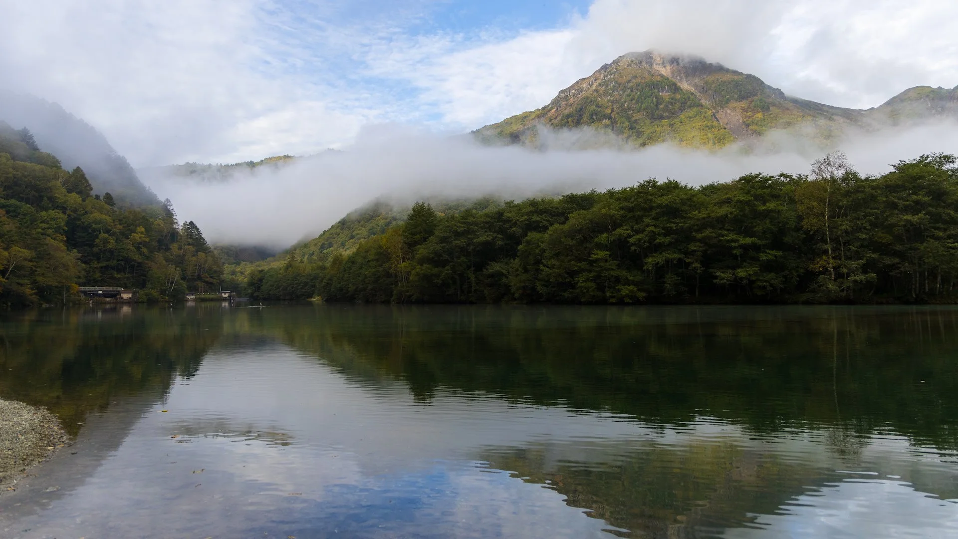
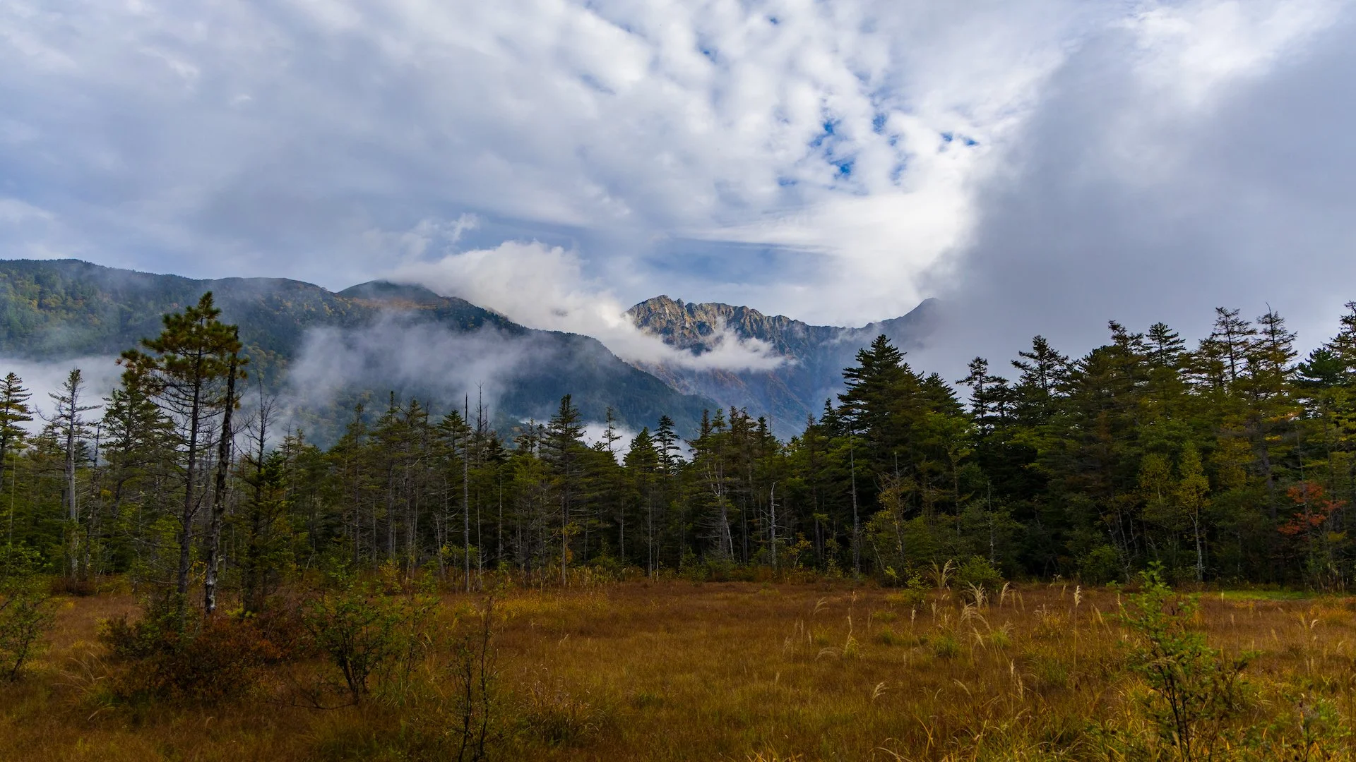
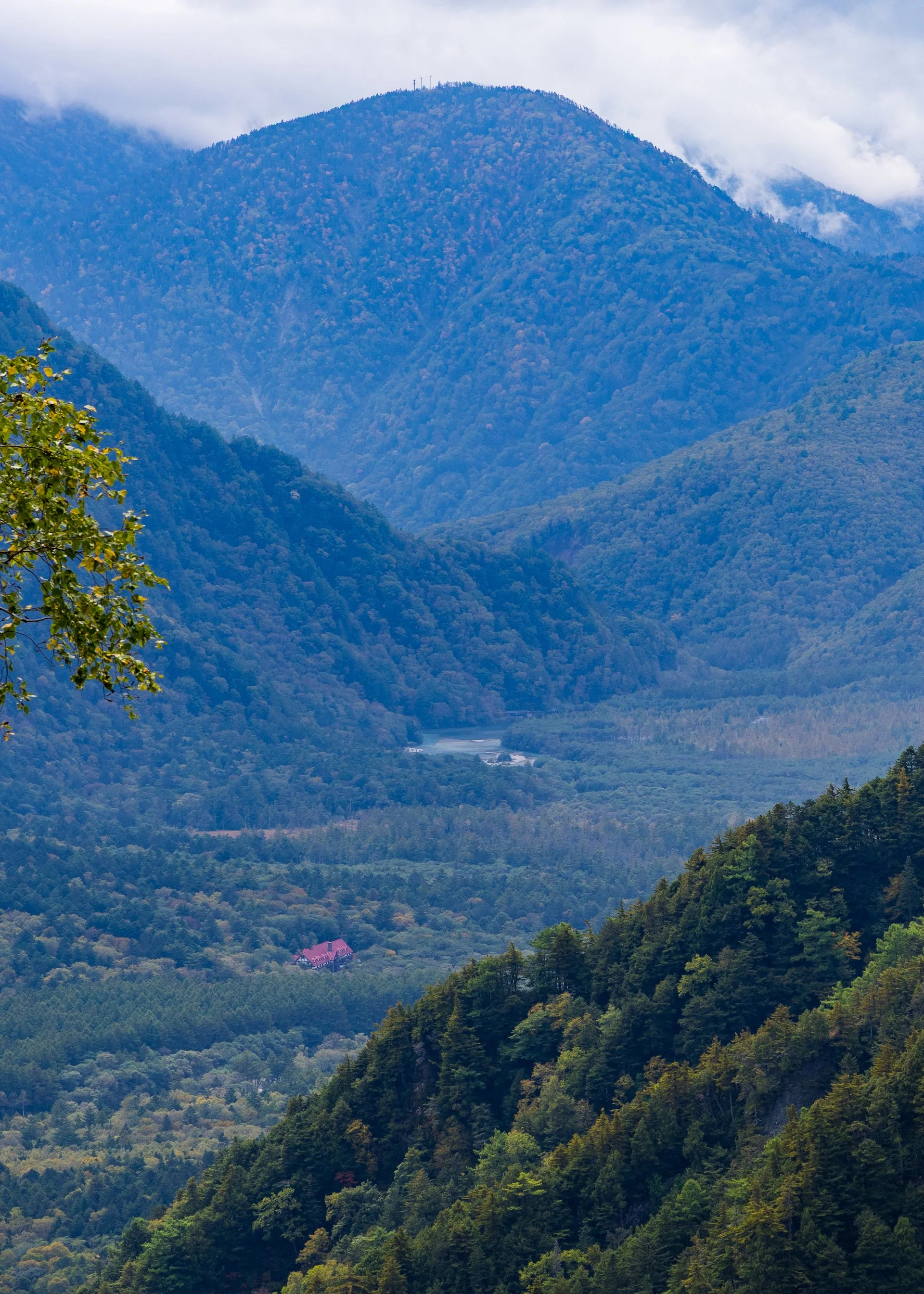
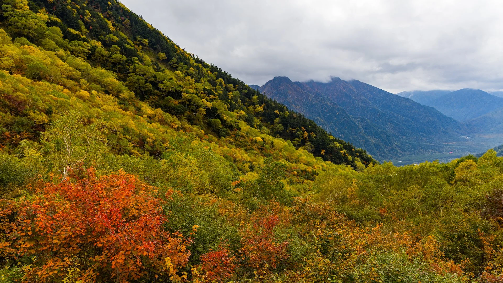
We were once again greeted by sunshine and mostly blue skies. Maybe even slightly better than yesterday. The clouds were still lingering, but maybe sitting a bit higher on the surrounding mountains. Have I mentioned how stunning the surroundings are here? It’s just incredible.
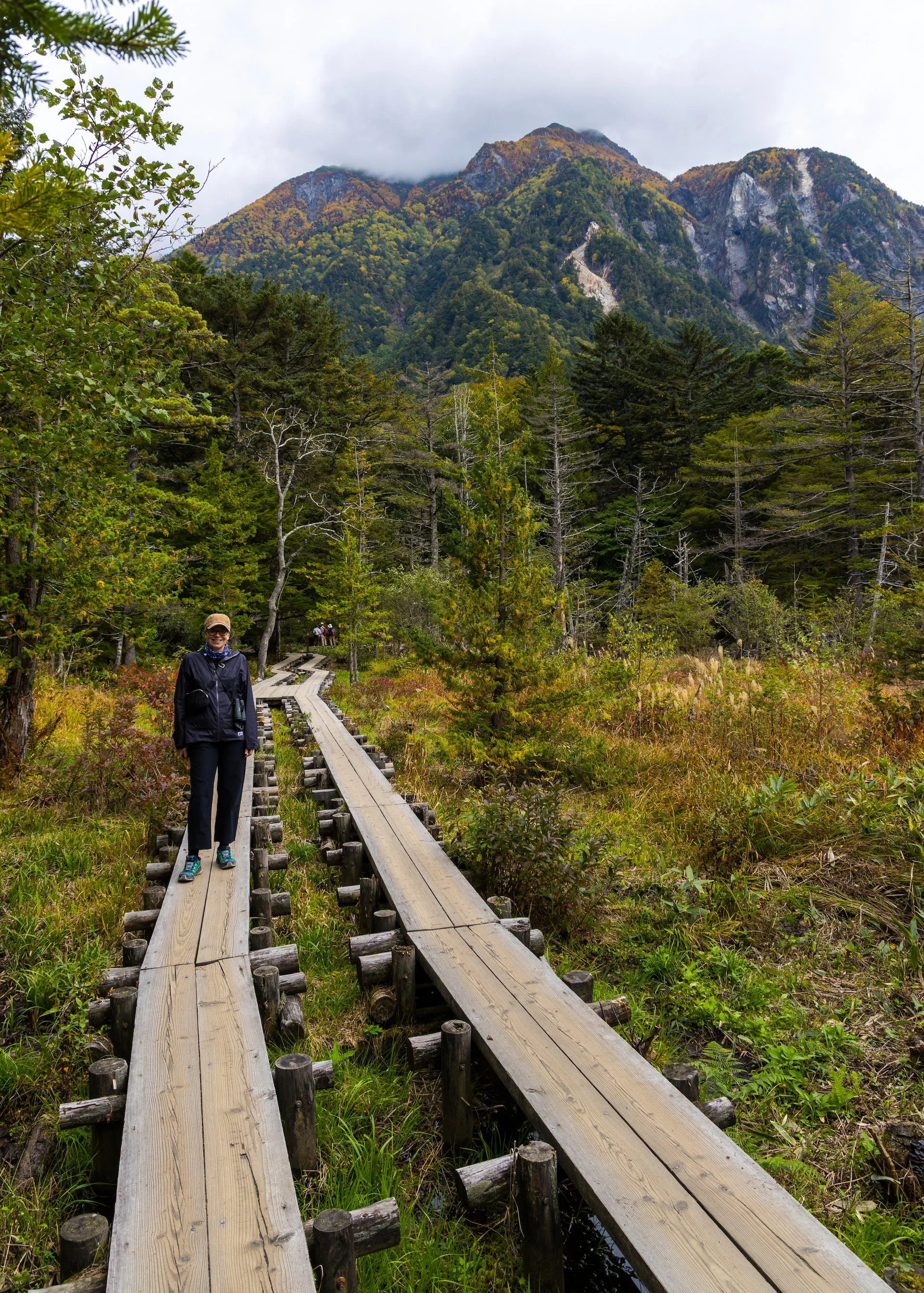
We headed back down the path, following the route we took yesterday. We still stopped to take pictures, but generally we were moving a bit faster than yesterday. And there were less people about. So less bear bells.
I know I mentioned the bear bells in yesterday’s post, but I still can’t understand how the park people seem to have all the locals terrified of bears. It drives me crazy, the constant dinging.
And everyone has at least one bear bell tied to their bag or clothing. There’s no chance any one is ever going to see a bear in the first place (it’s way too busy with too many people) but the constant, and I mean constant, ringing of bells was enough to drive me crazy!
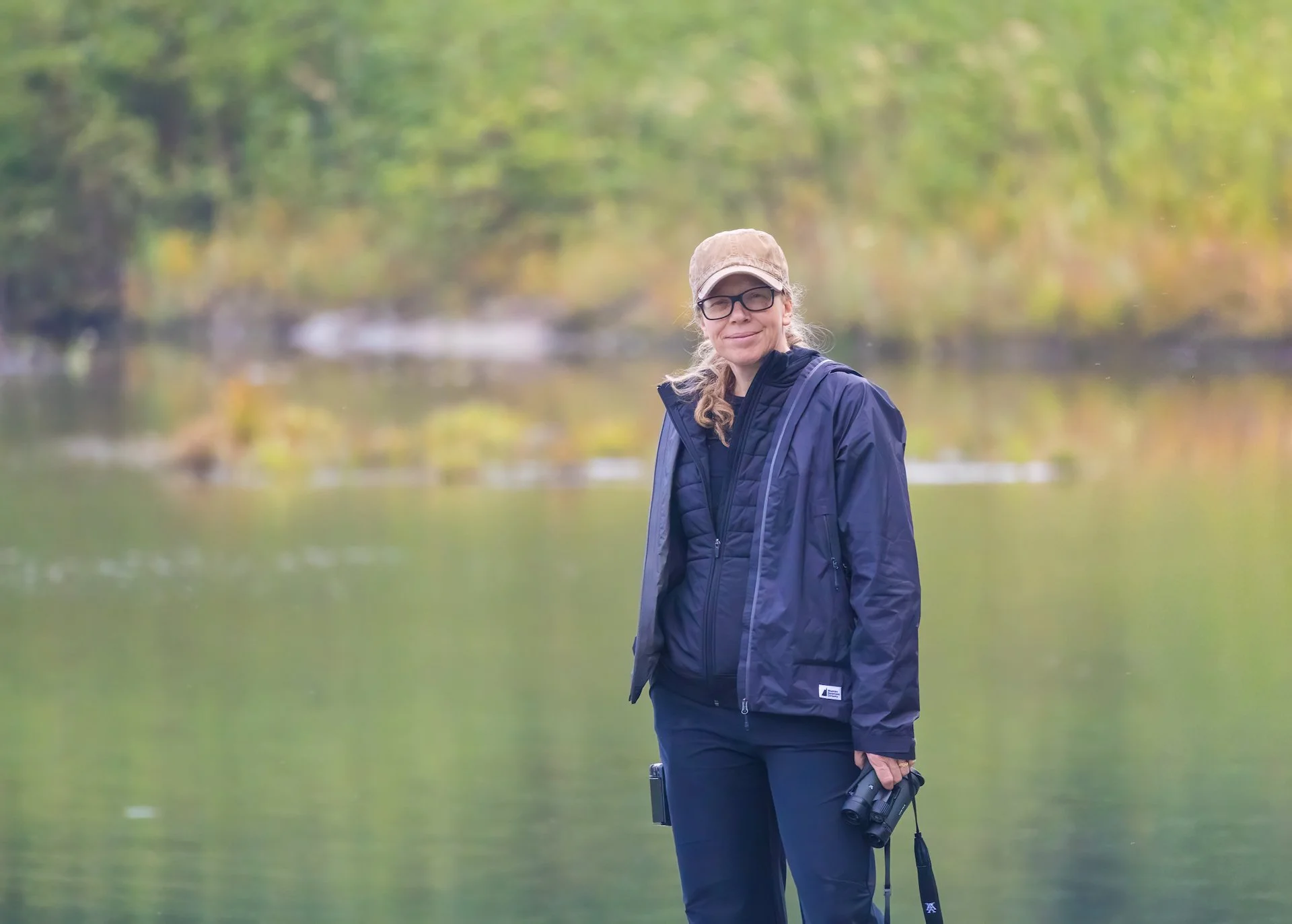
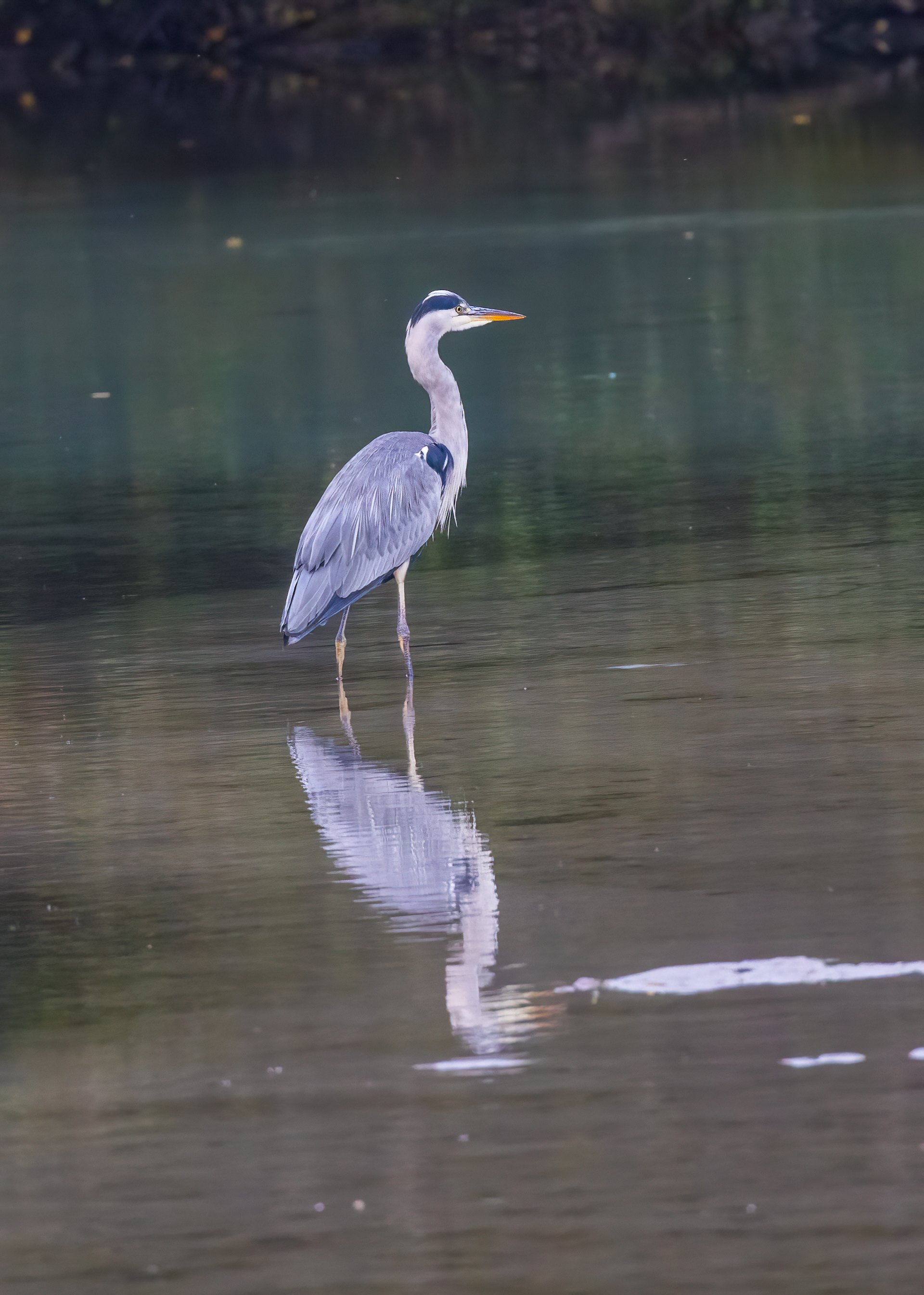
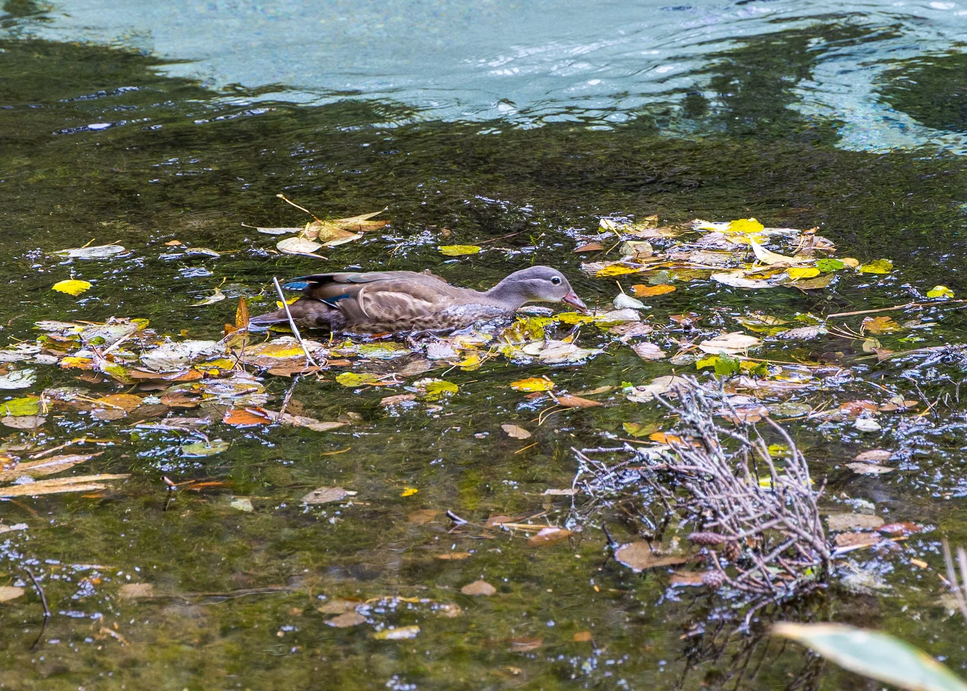
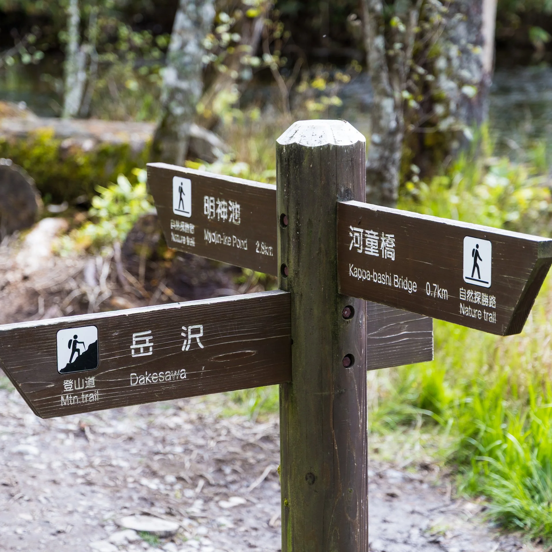
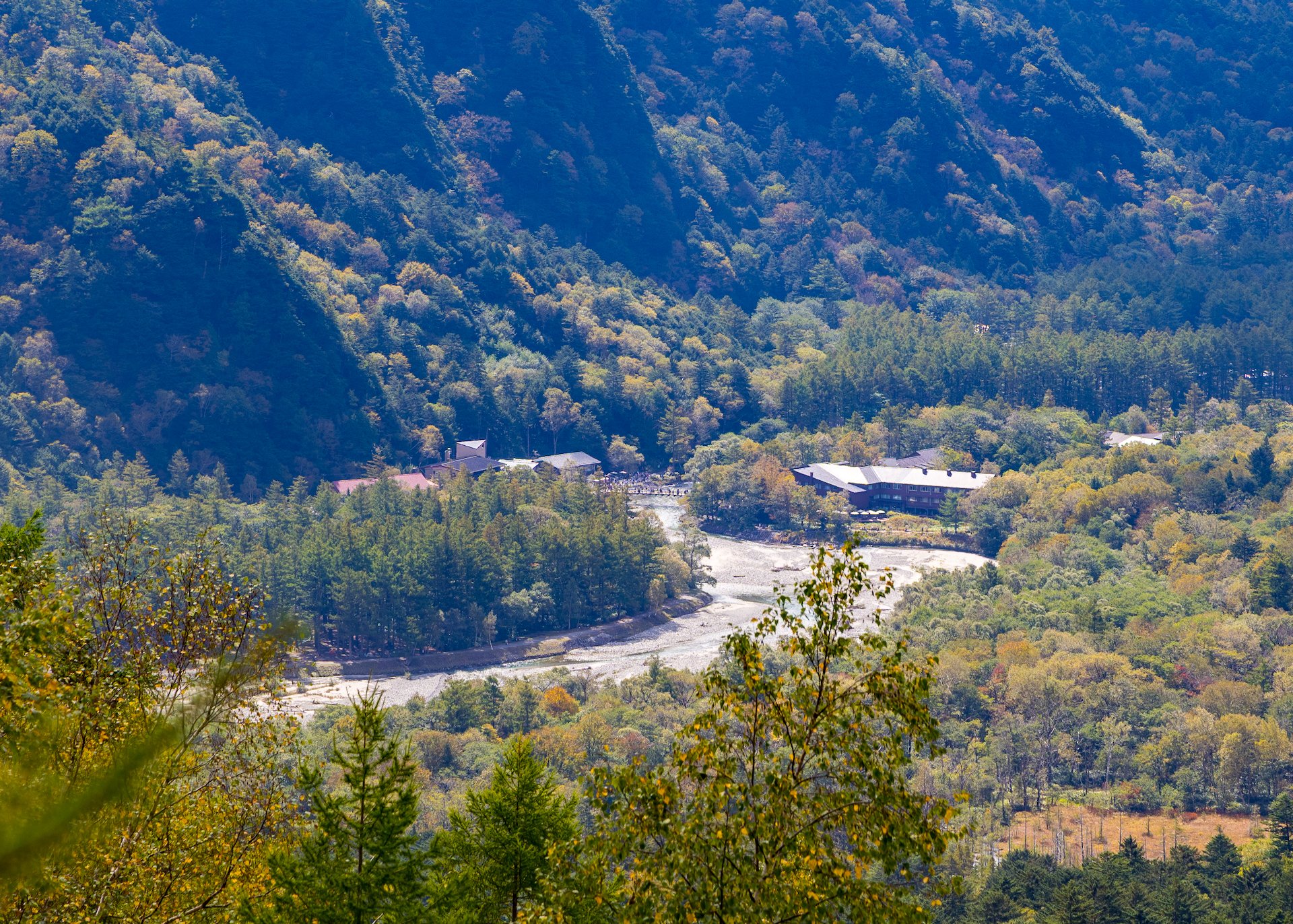
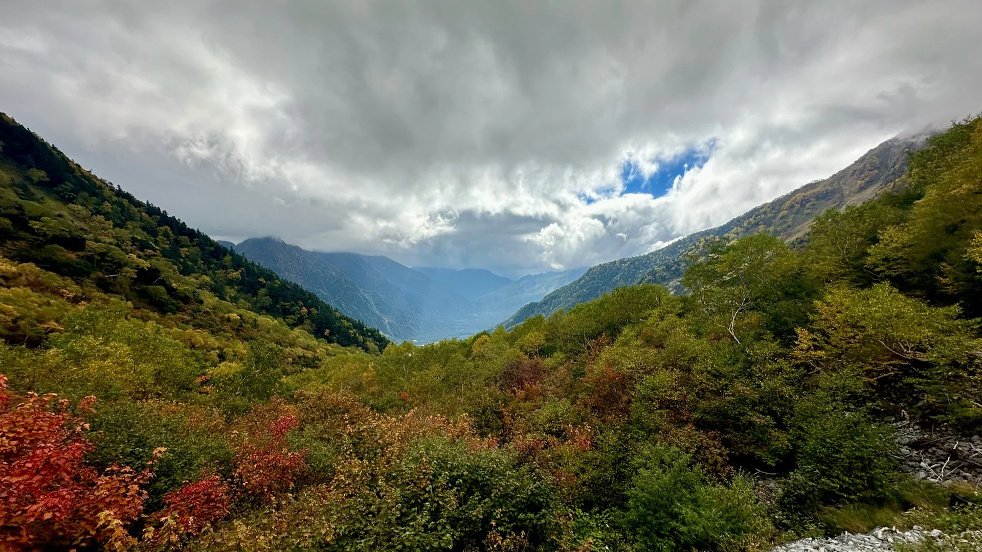
We got to Tashiro-bashi Bridge in no time, which has one of the nicest views back to the Hokta Mountain Range. As we crossed over and plunged back into the thick forest, Justine was very sharpe eyed in spotting another monkey op in a tree, quite far back into the forest. We had heard him for a bit, but then actually got to see another one! Way too cool.
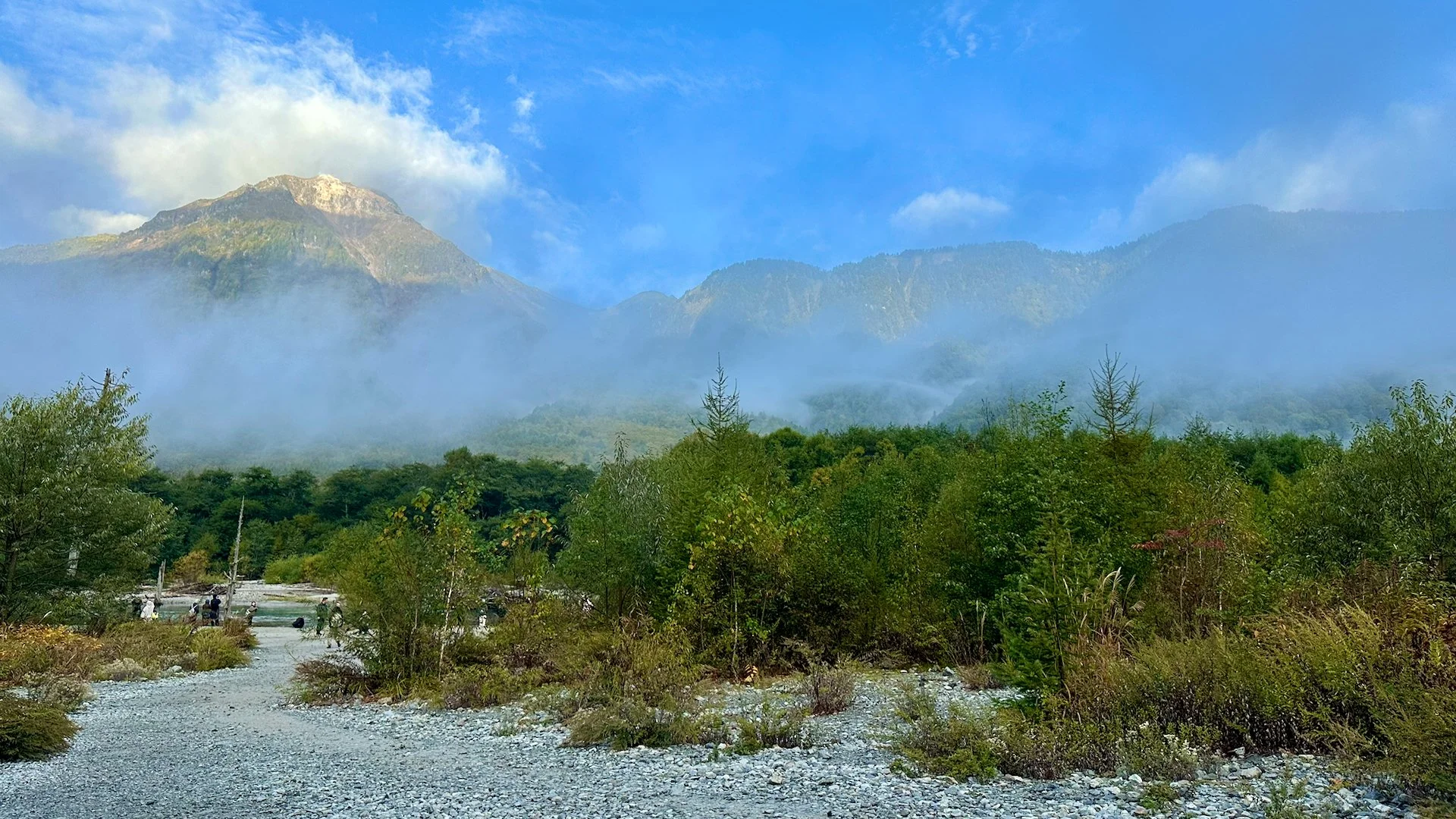
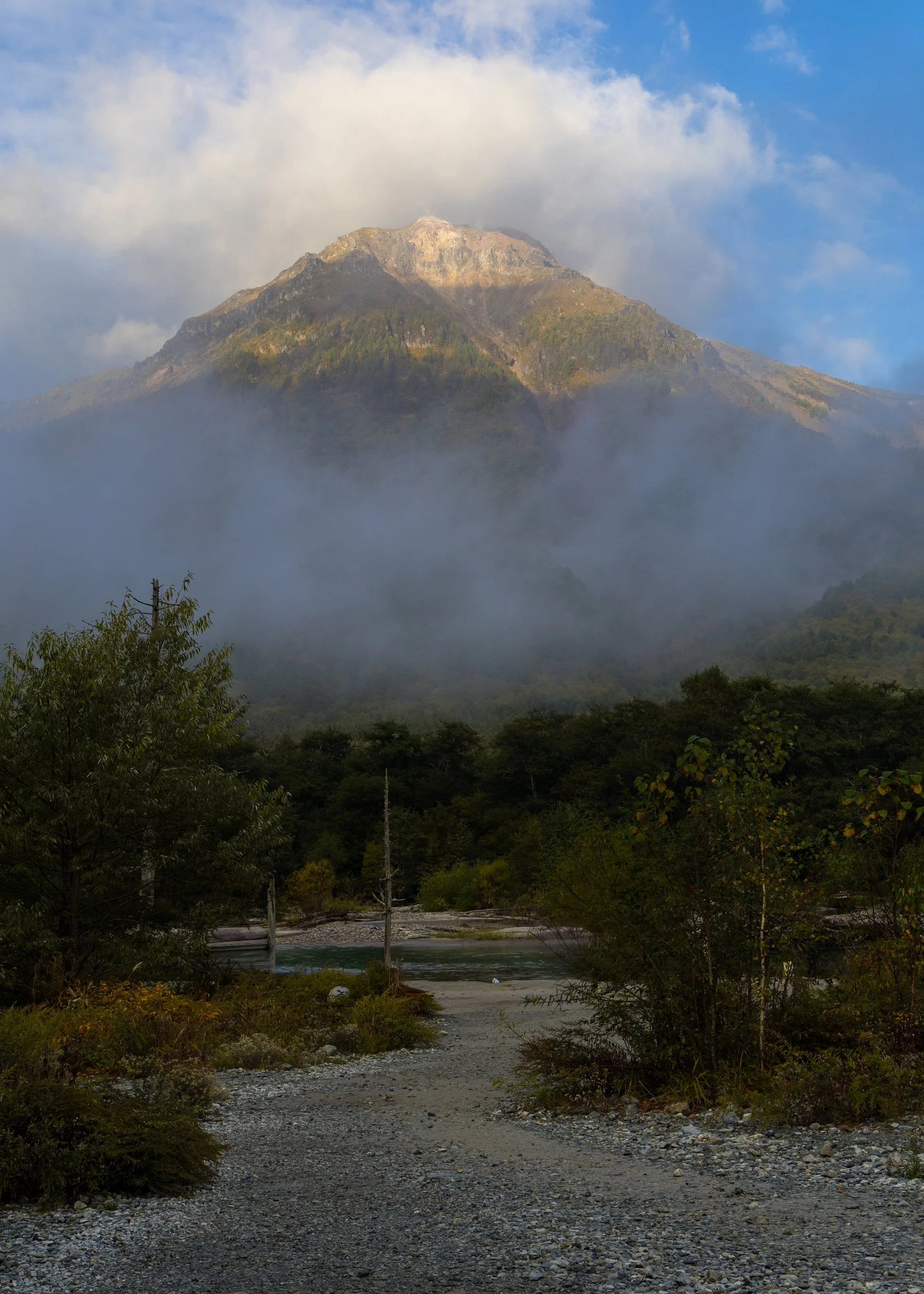
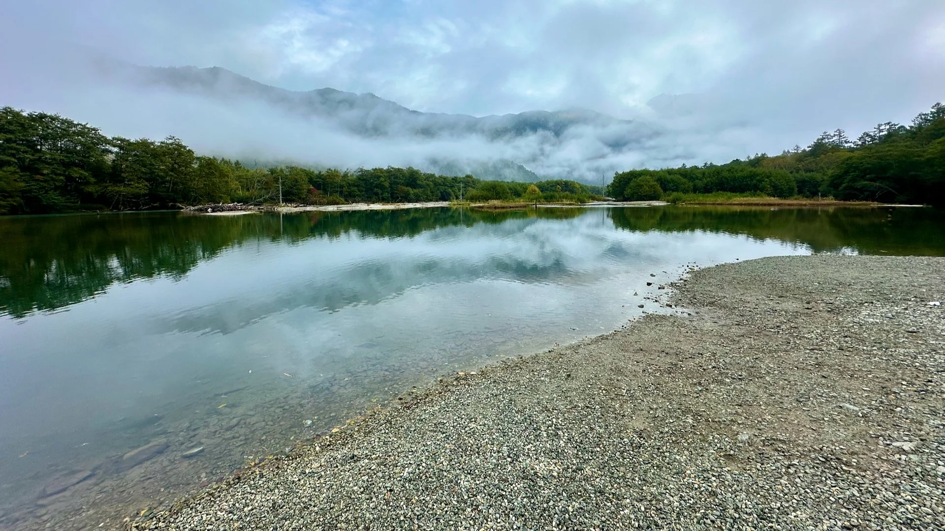
We chose not to stop at Tashiro-ike Pond (the clouds had dropped in and we were not going to see much), and so we pushed on down to Taisho-ike Pond. The pond was created by the damming of the river after an eruption of Mount Yakedake in 1915. We waited around for a while, and fortunately the clouds finally lifted enough for us to see the volcano.

Much like yesterday, we were a bit pressed for time. It was just after 7:00 and we need to be back by 8:30 or miss breakfast, and there was no way we were missing the French toast!

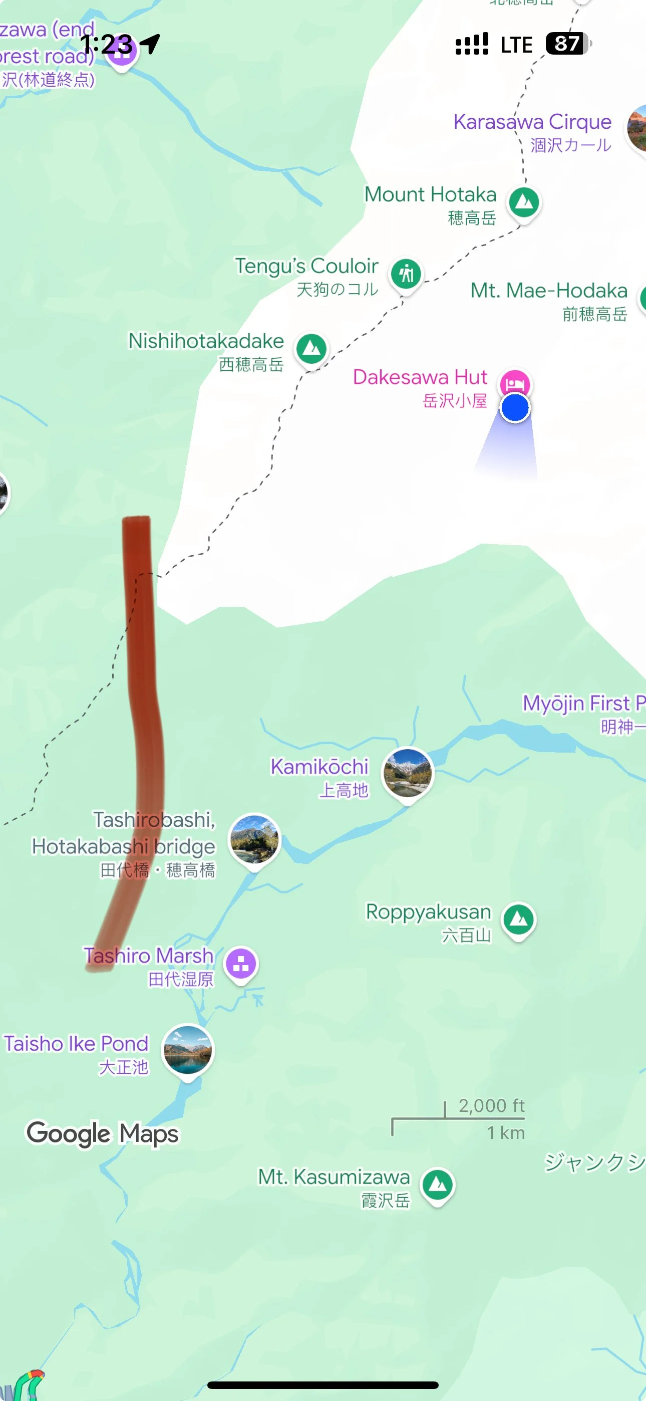
The map of our morning walk.
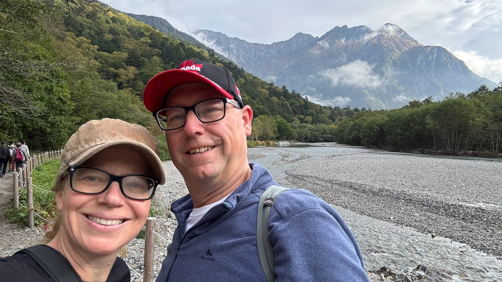
The return trip was pretty uneventful. A couple of stops for pictures, but we made it back by 8:15 and easily got in to eat. The food was again amazing - different from yesterday in the variety of choices, with some of the clear favourites (like the French toast) making repeat appearances. The before breakfast hike ended up being 2:20 and 8.22 km. It was a bit much, but ended up being the easy part of the day!
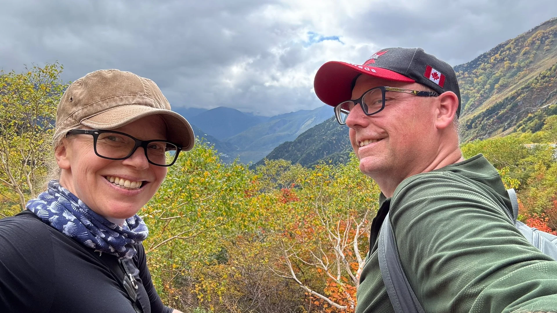
After an amazing breakfast we headed back to our room to relax. I think I fell asleep for a bit, but by 10:00 Justine was convinced we needed to get out and explore some more. There was a risk of rain later in the day, and this was our last full day in the Park. Sadly, as it has been amazing.
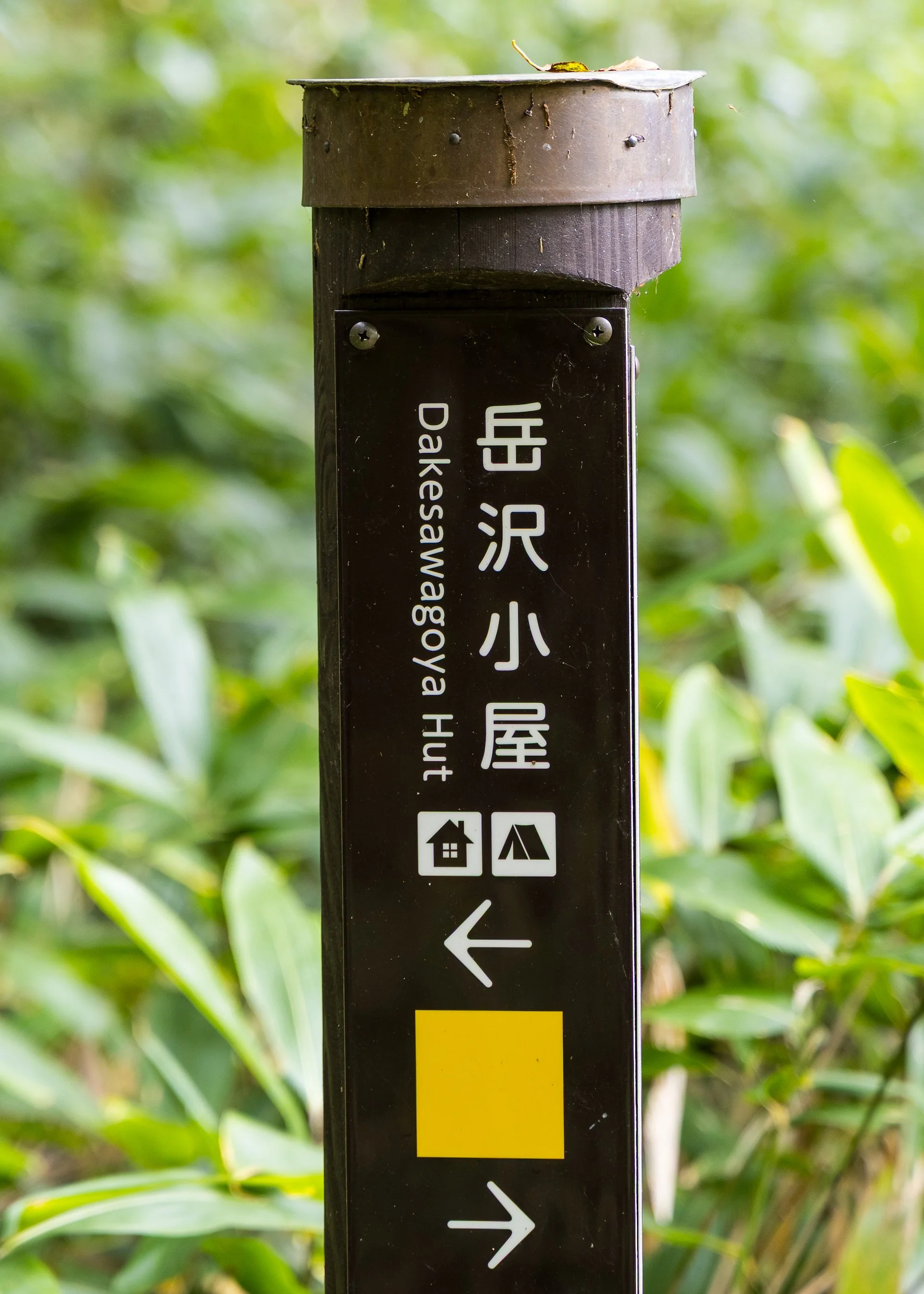
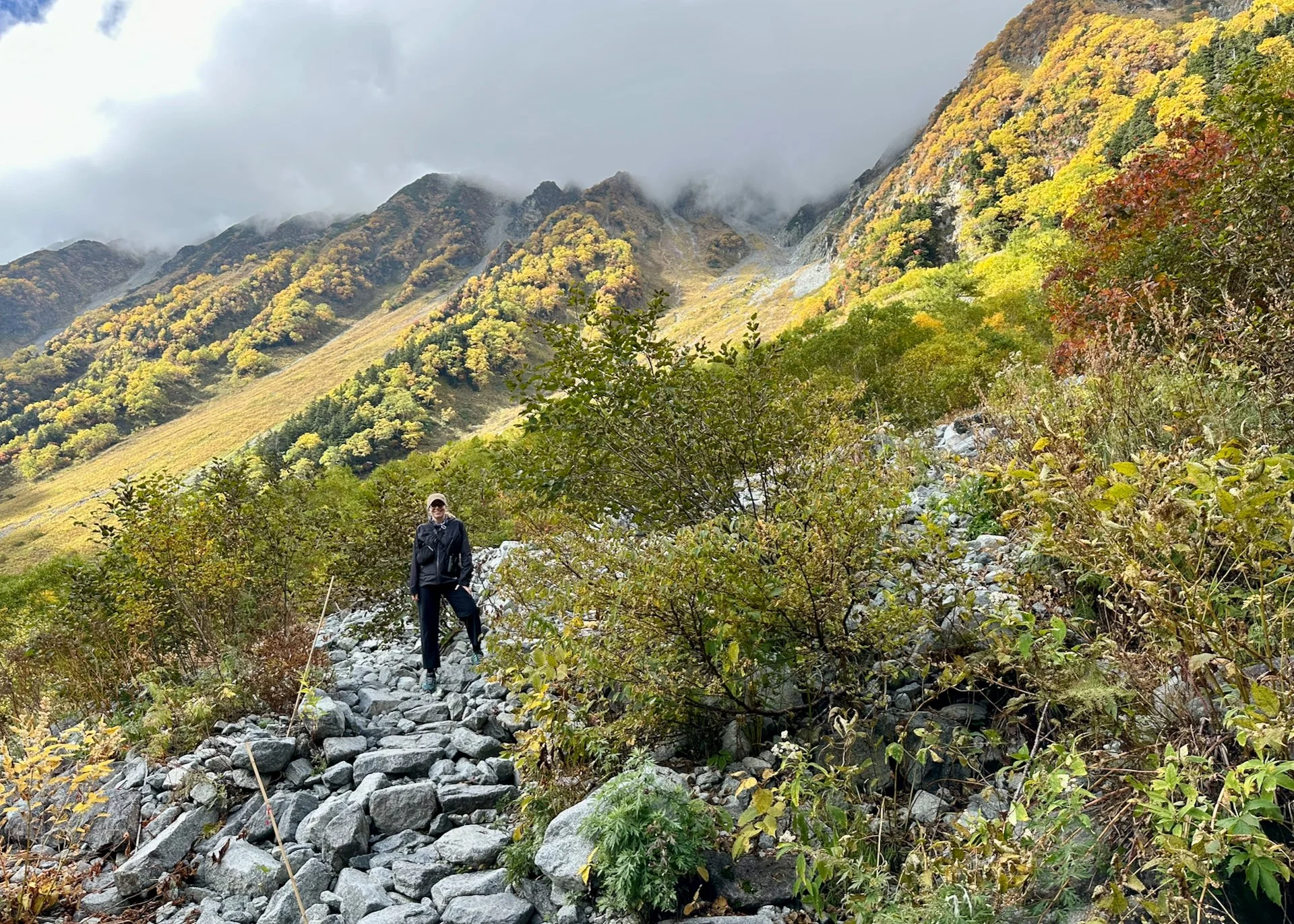
We decided to do something different and try the hike up to the Dakesawa-goya Hut. The hike started out along the valley floor, going the same way as we did yesterday. We passed by the Dakesawa-shitsugen Marsh, before our trail head split off from the main trail and pretty much immediately started climbing. I’m not sure we really know what we had gotten ourselves into.
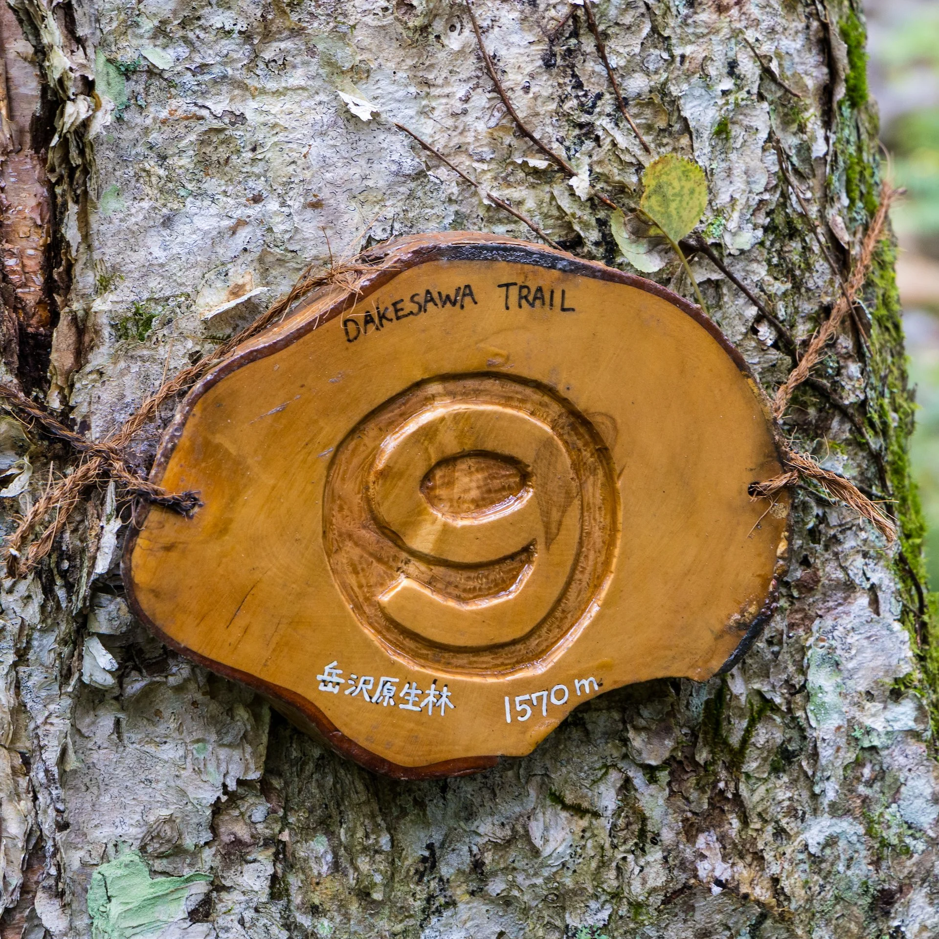
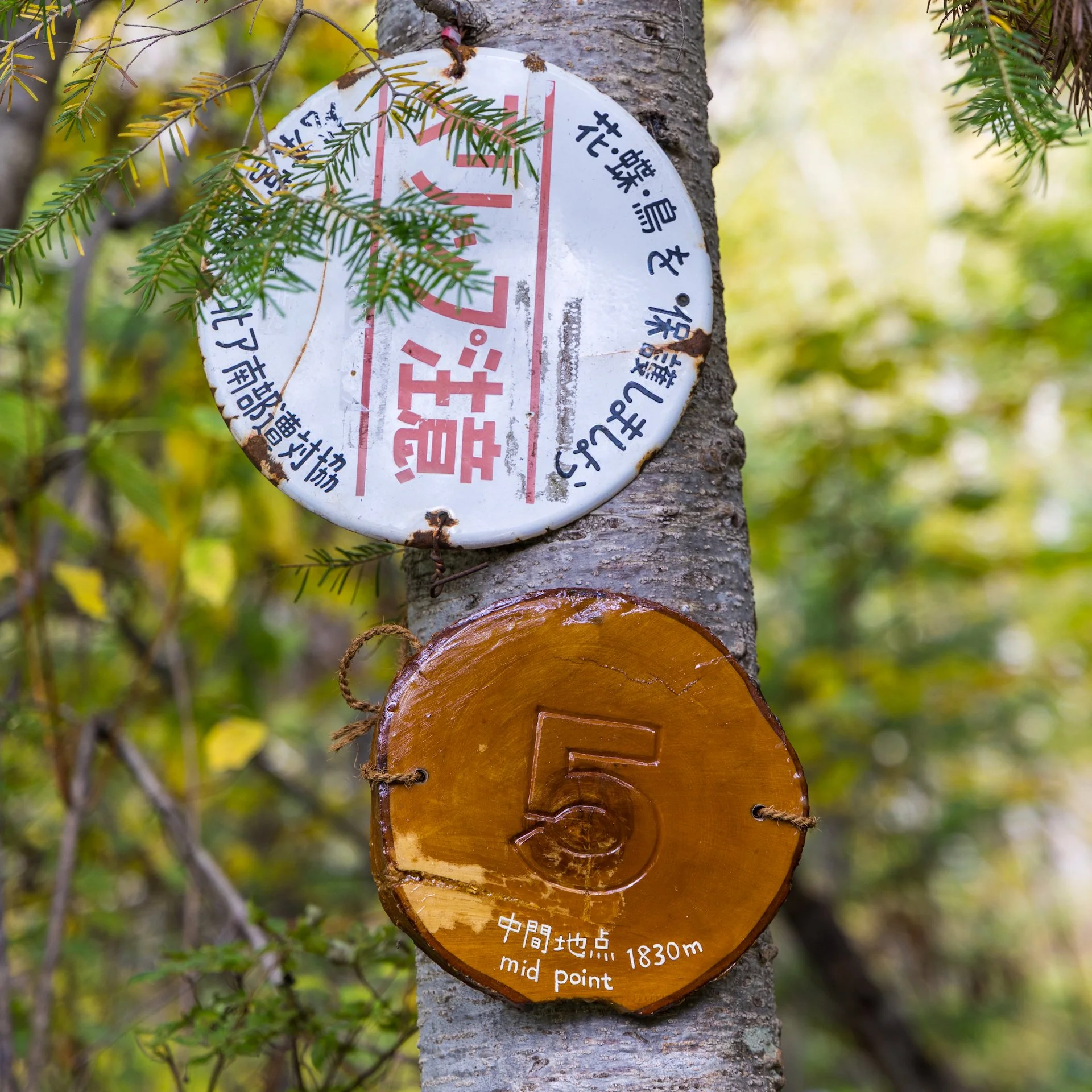
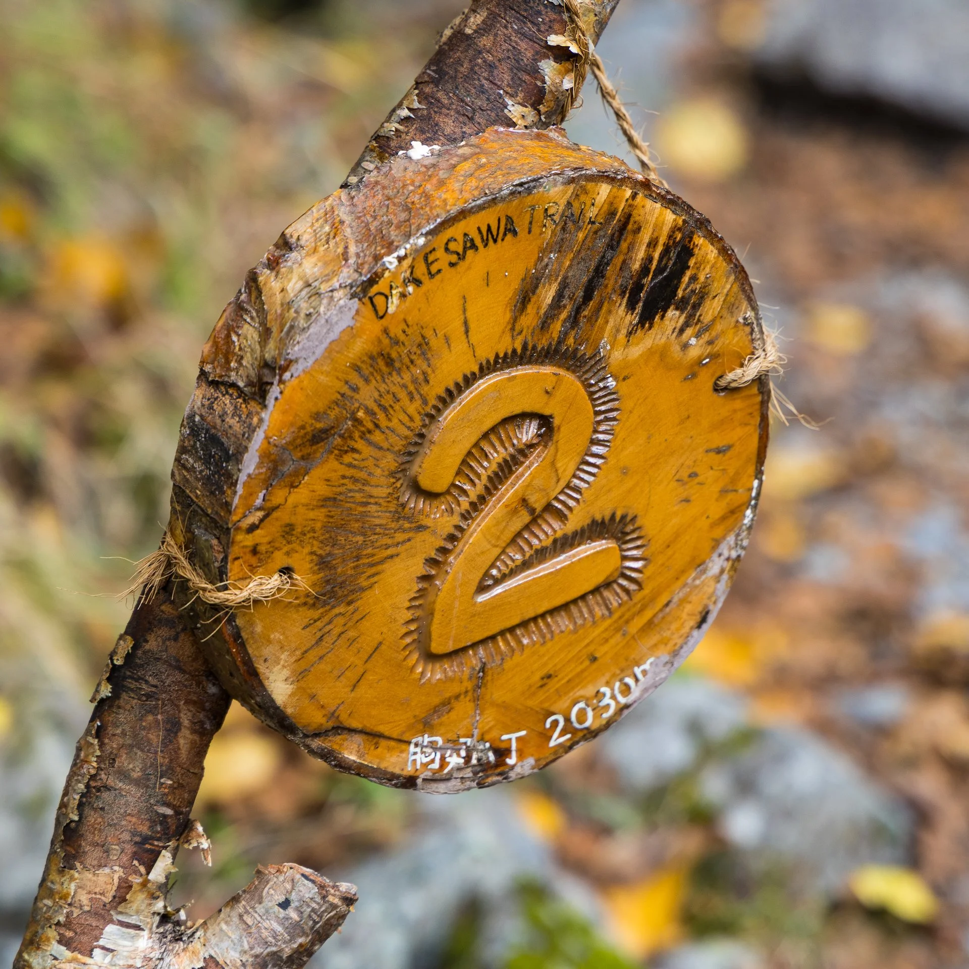
The trail was broken up into 10 segments with markers that gave you a sense of how far along you were. The trail was tough, but beautiful. We gained between 50-70 meters between each segment, with the whole hike gaining us 665 meters over 3.8 km one way. Here’s the full details, thanks to Justine’s careful documentation of the markers:
Marker 10 - 1,500m
Marker 9 - 1,570m
Marker 8 - 1,620m
Marker 7 - 1,690m
Marker 6 - 1,760m
Marker 5 - midway- 1,830m
Marker 4 - 1,900m
Marker 3 - 1,960m
Marker 2 - 2,130m
Marker 1 at the Hut - 2,170m
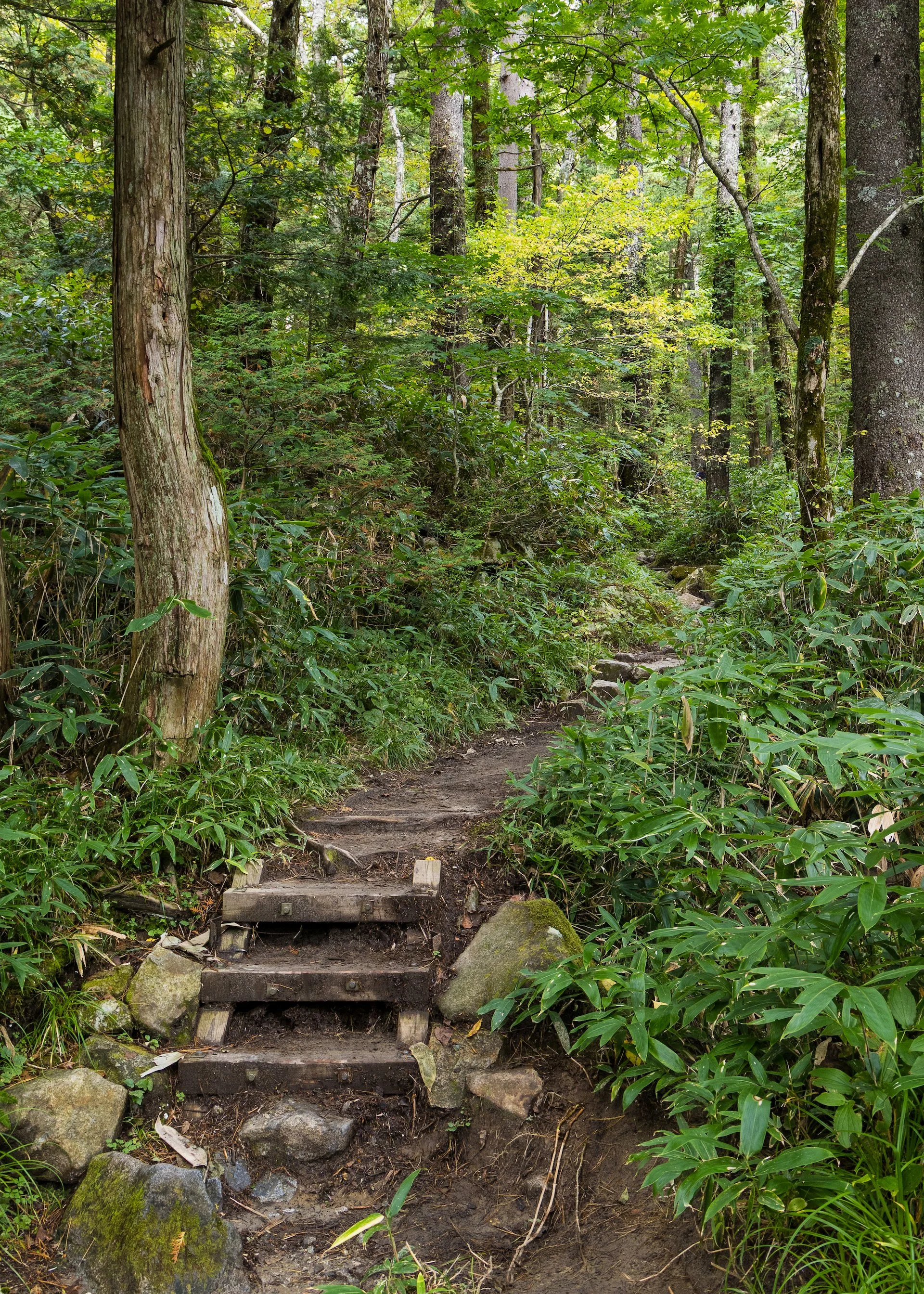
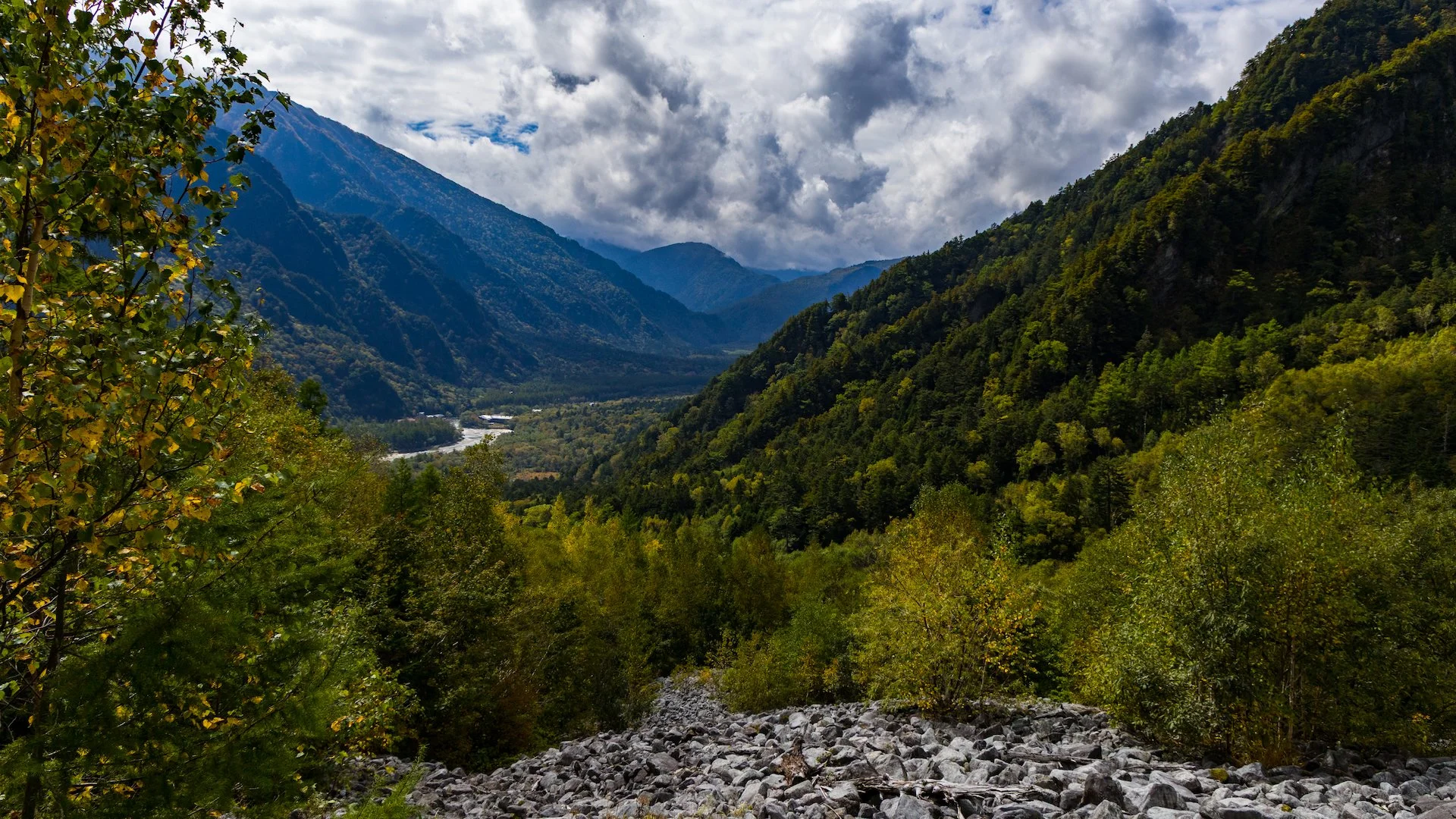
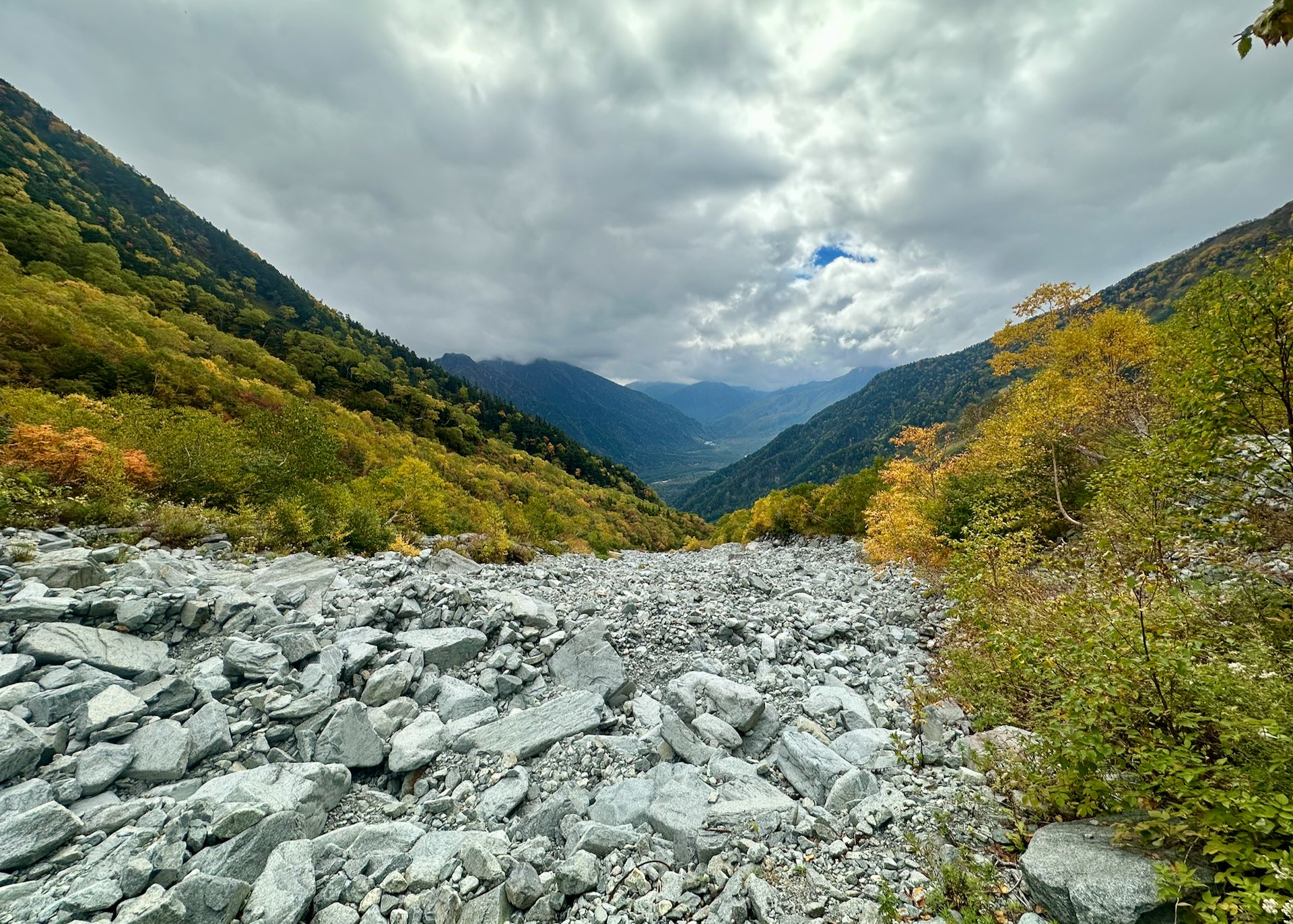
The bottom part of the trail, through the first 3 markers was in dense forest. They indicate part of it being old growth, but none of the trees looked that big. But it was beautiful. The rocks were a bit slick, but there was a fair bit of built infrastructure in this section.
For the Vancouver locals, the nod in the title is that this trail is very Grouse Grind-like, in that it’s just a set of stairs going straight up. No switch backs, almost know flat stretches. But unlike the Grind, this one is still very natural, much like the Grouse Grind used to be. But this one was much harder.
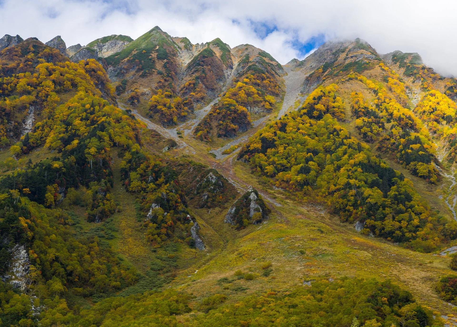
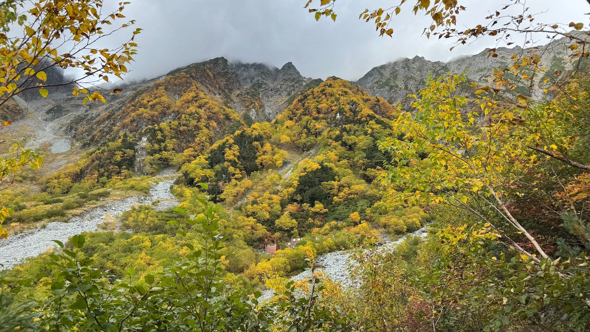
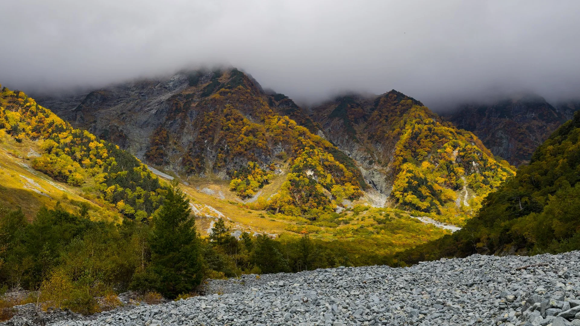
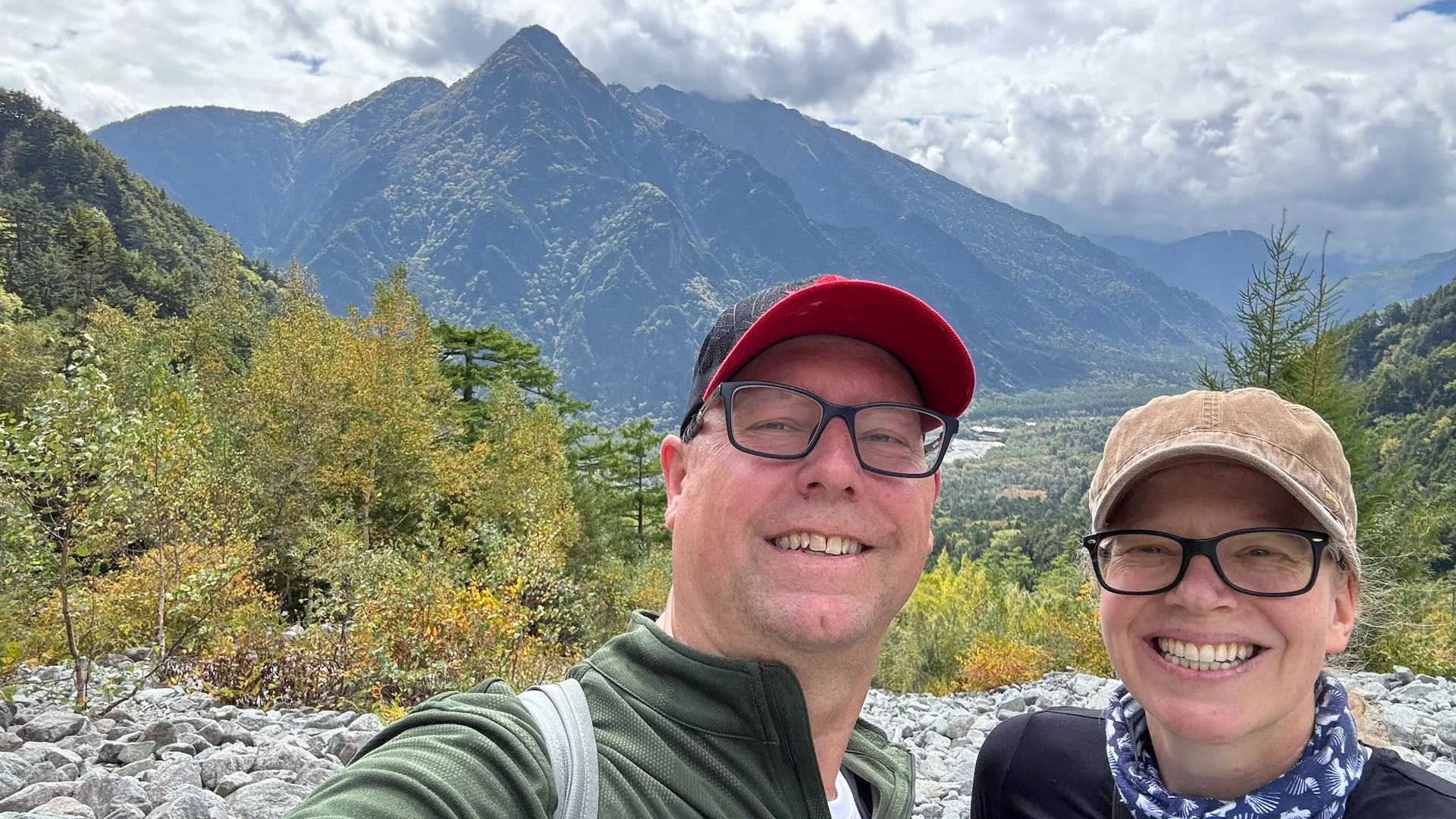
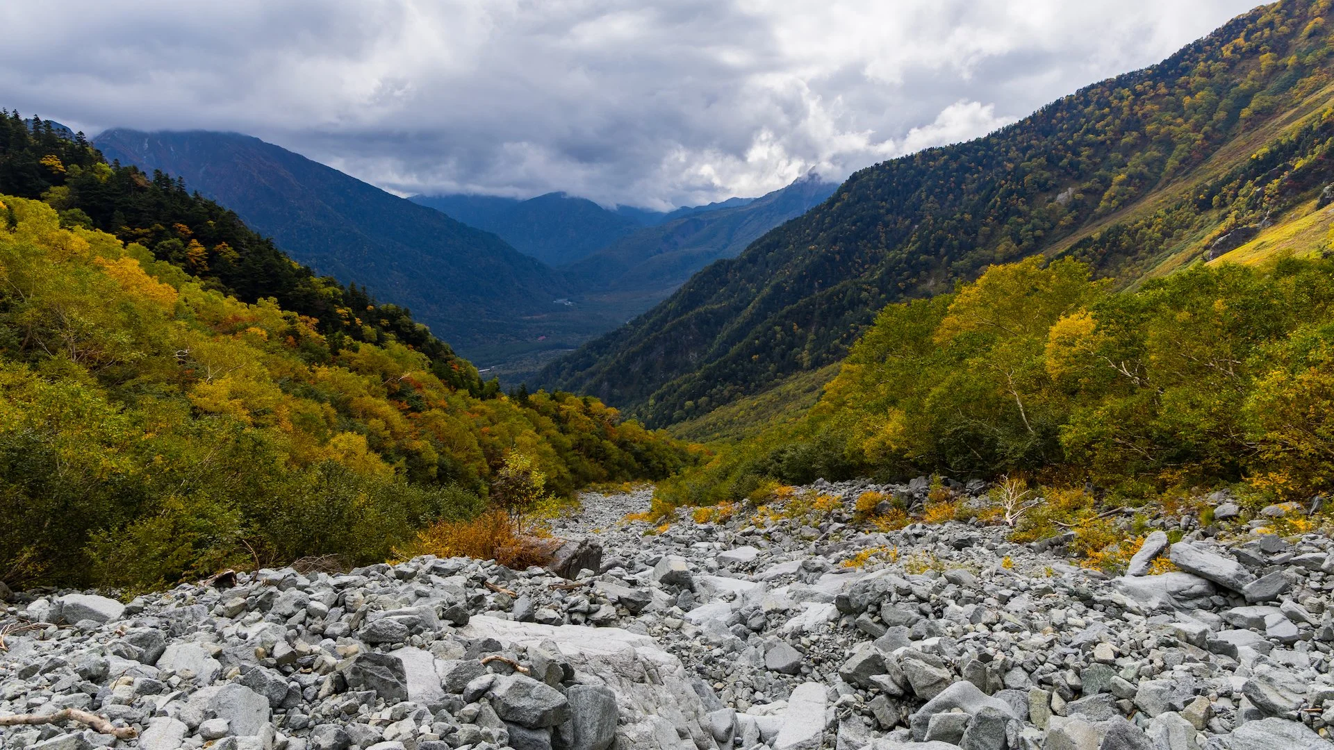
The markers counted from 10 (trailhead) to 1 (hut) as you ascended. Around marker 4, it opened into this huge scree slope that offered amazing views down to the valley and Kamikochi way below.
You cannot understand how happy I was to see this marker, and the one with it indicating it was only 200m to the hut.
And the climbing just continued. There was not a lot to distinguish things up until around marker 2. At that point we got a glimpse of the hut, still far above us. But that encouragement was needed big time, as I was close to cracking. I was very tired and my feet were quite unhappy by this point.
The distance from 2 to 1 seemed really long, but at marker 1 they blessedly told you it was only another 200 meters. They seemed a long 200 meters, but finally we arrived.
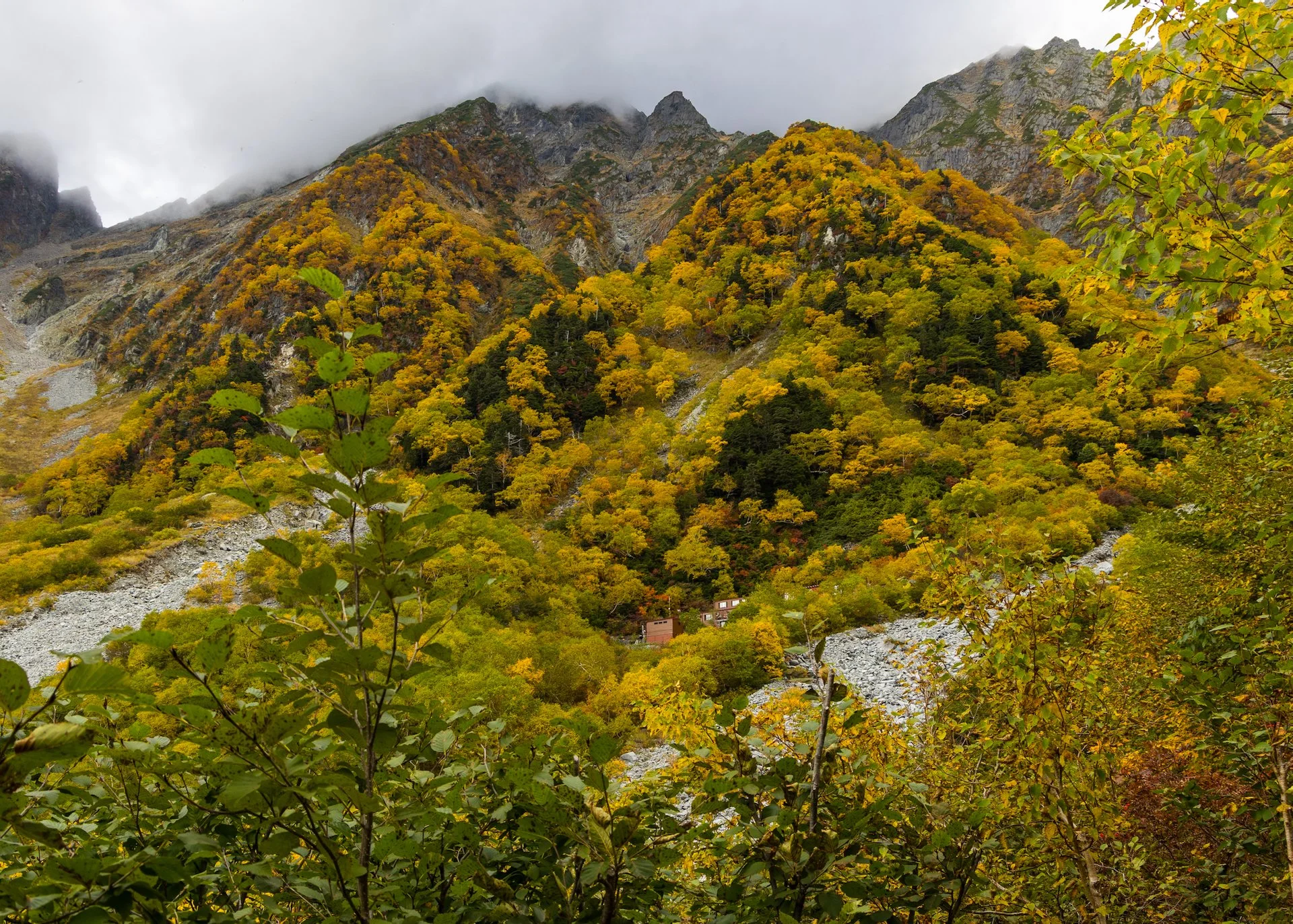

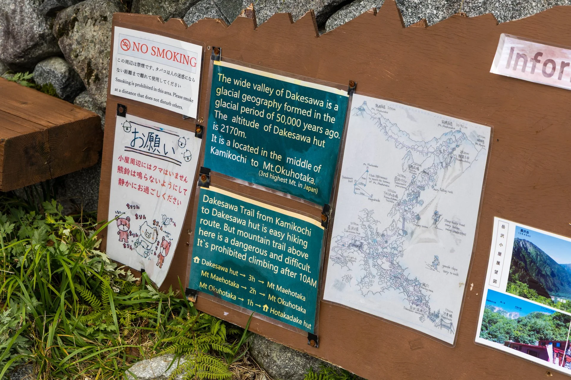
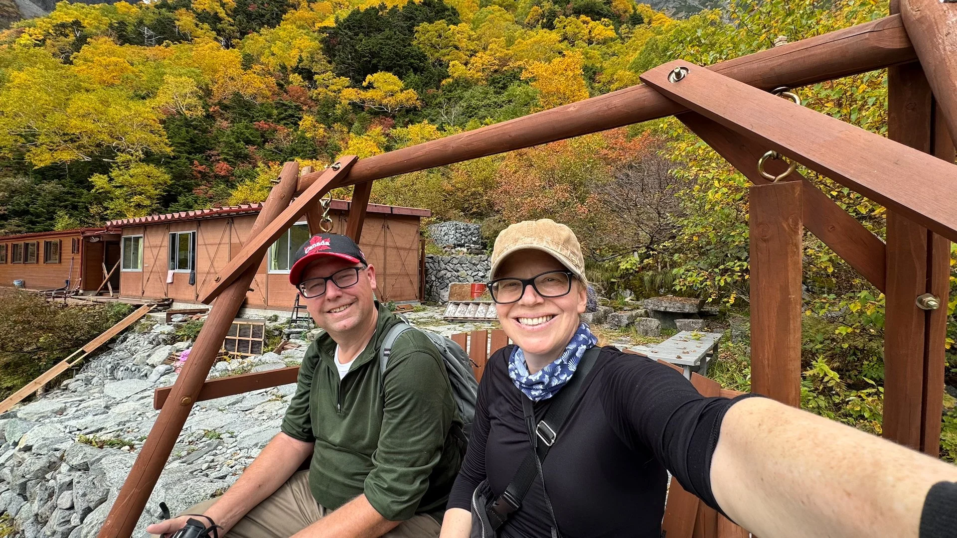
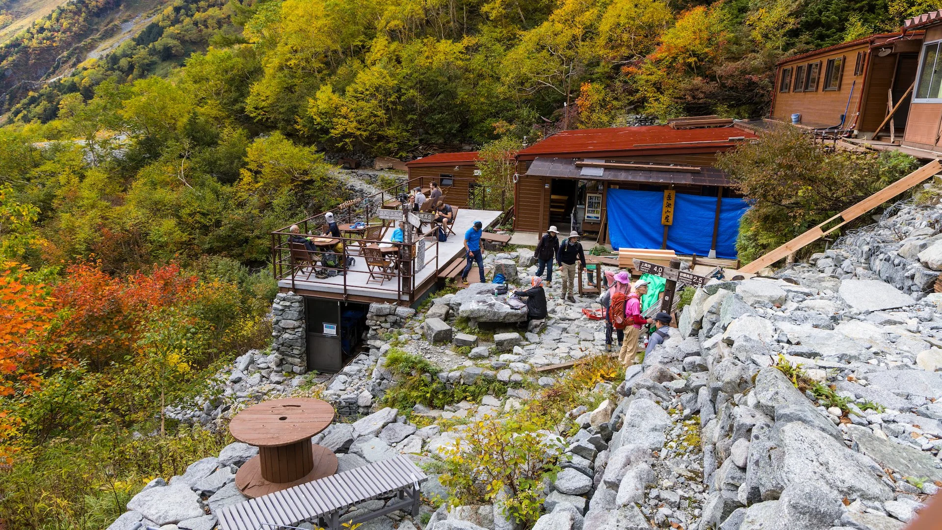
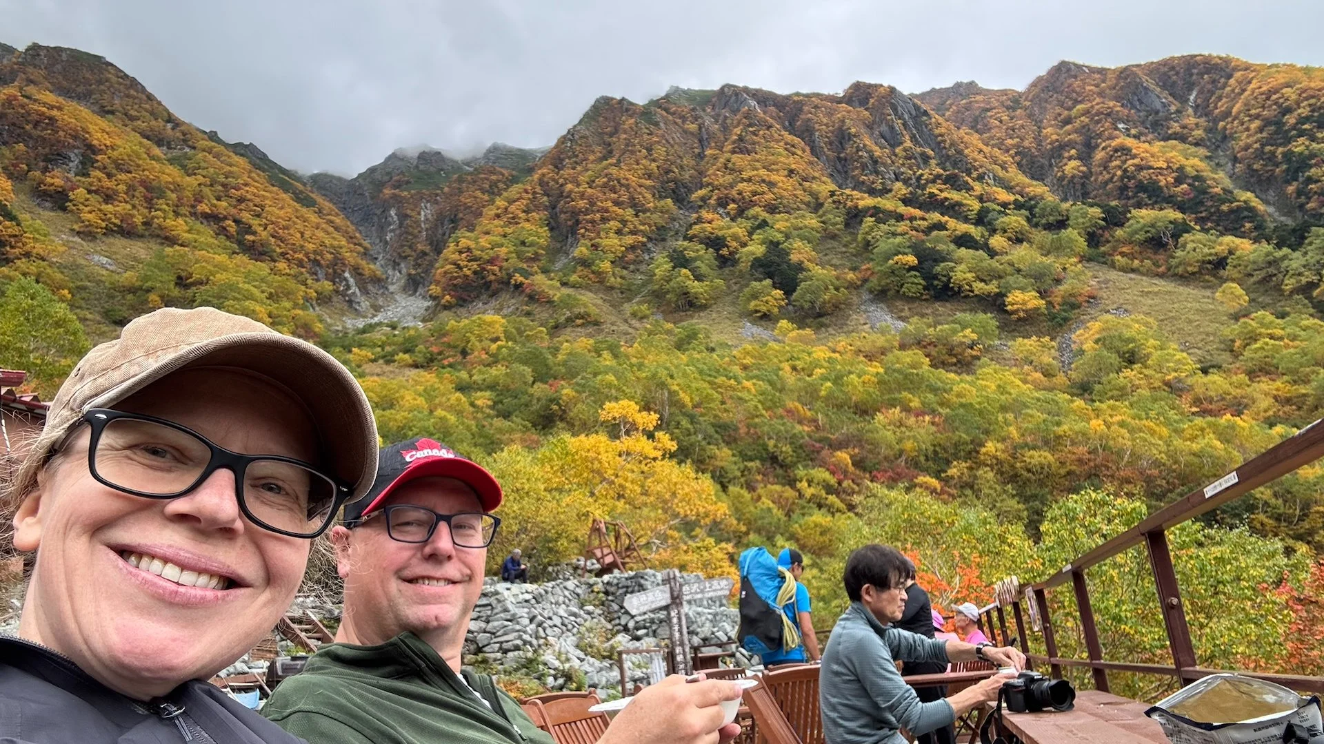
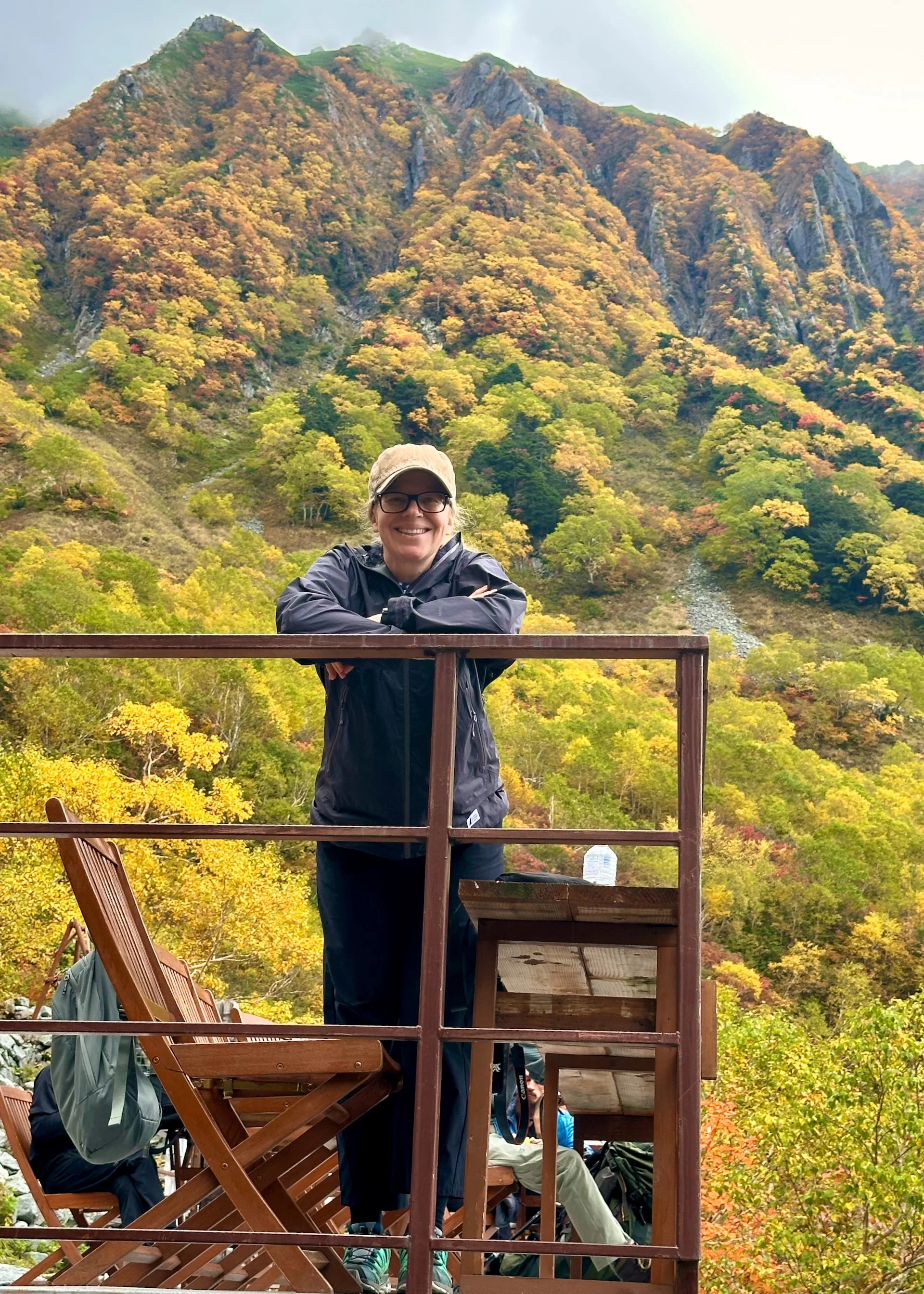
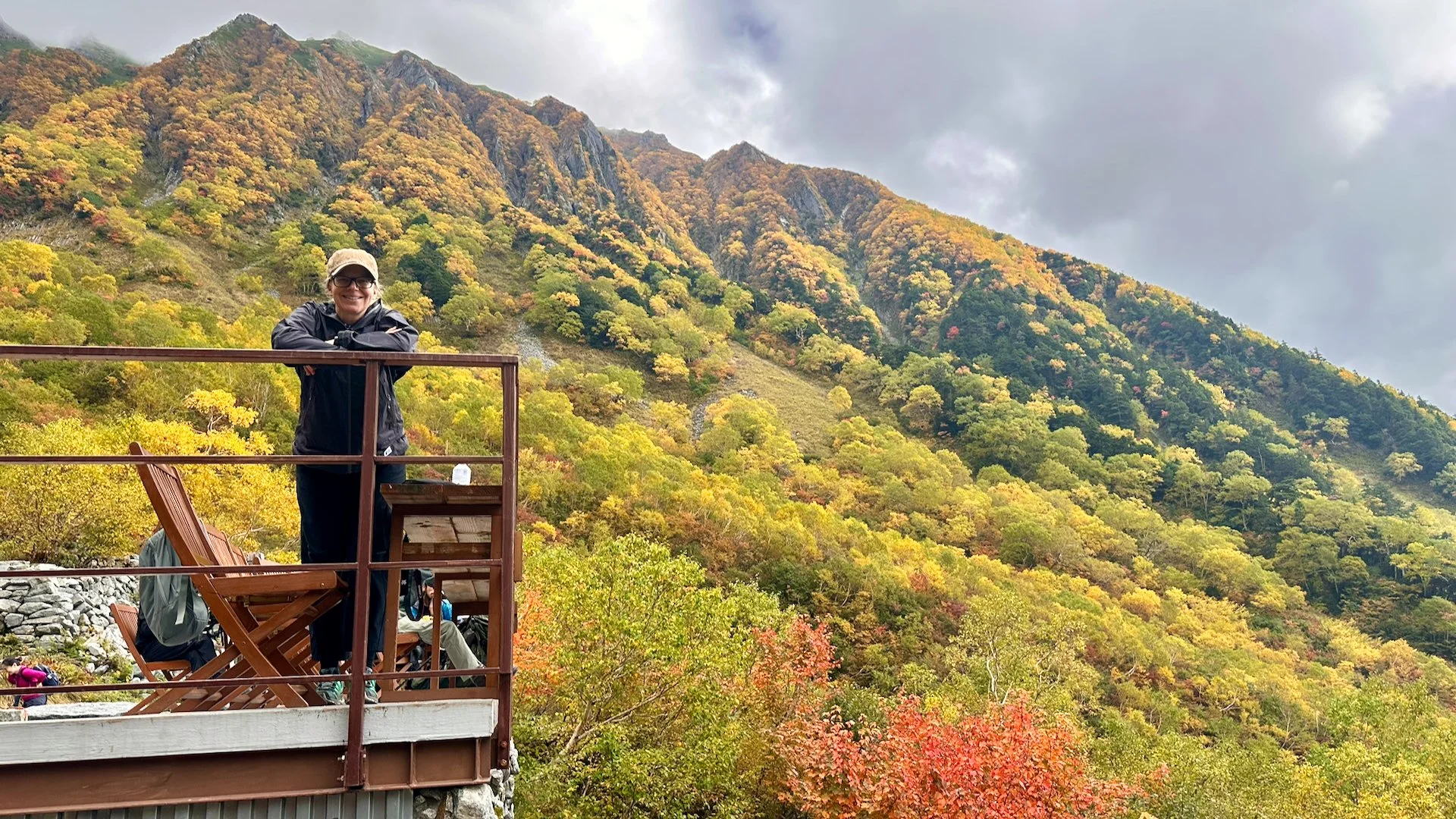
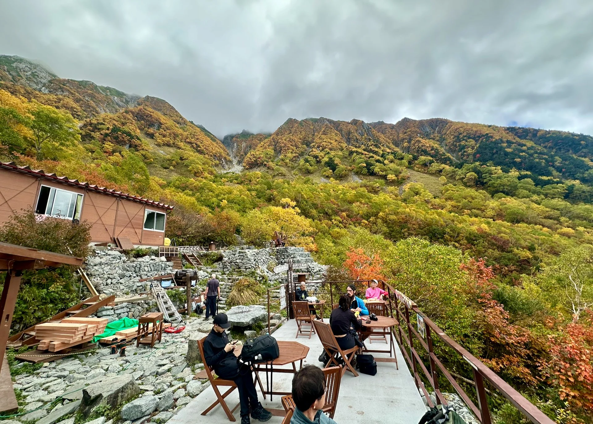
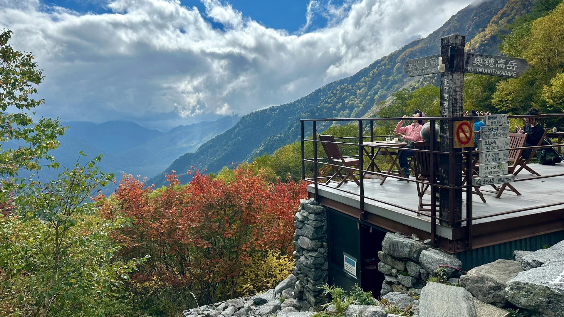
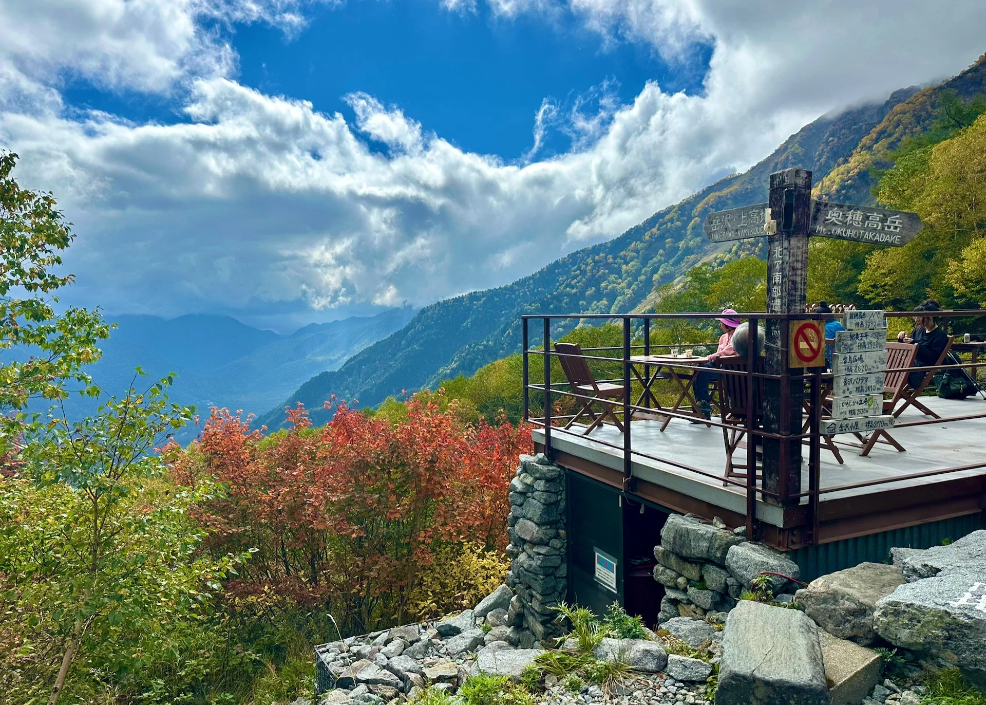
And what a spot. They have built a whole lodge and camp ground on the face of the mountain. The was a restaurant and little gift shop (I actually bought something - how could I pass up a gift shop at 2,200 meters?). We were exhausted by this point, but early enough that we could order something lunch! We actually got a hot meal - noodles in a beef bolognese sauce, and it was pretty good! Given that we were quite wiped out, the hot meal and cold drink was welcome.
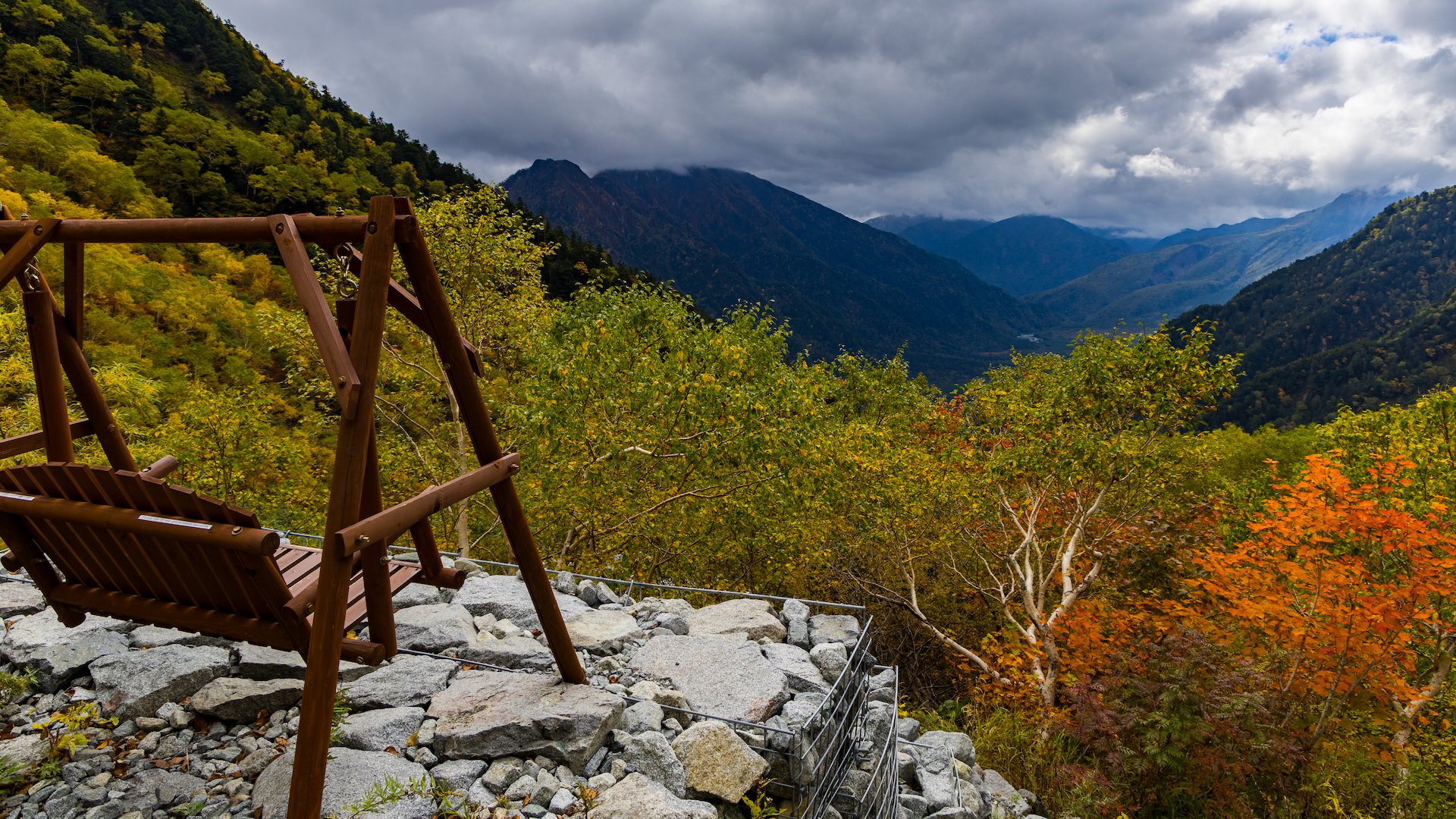
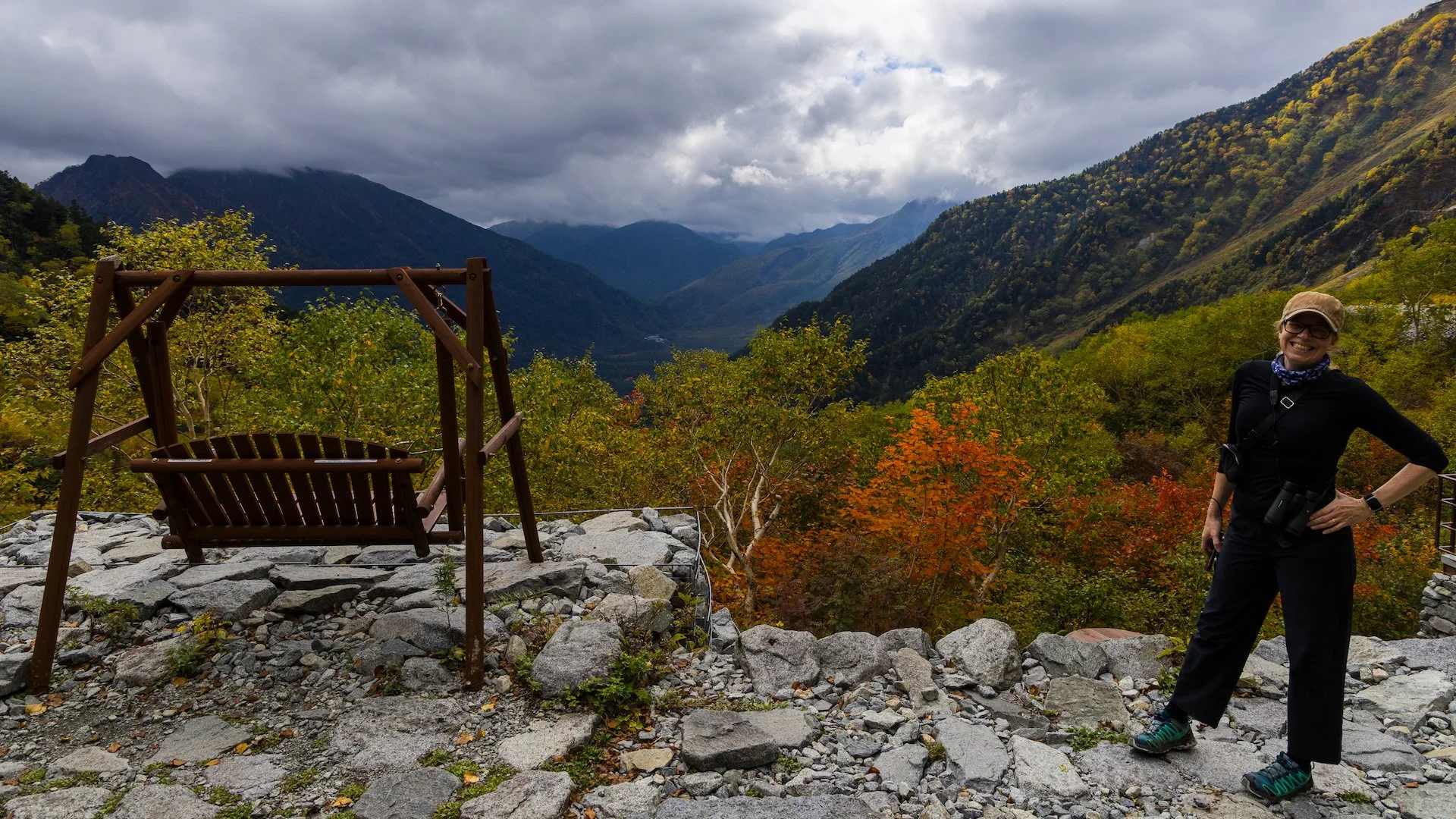
And the view. The photos just don’t do it justice. You’ve got these huge mountains on three sides and this incredible view all the way down to the valley floor. And you’re sitting on a deck, eating lunch that someone made for you. I don’t know how they do it.
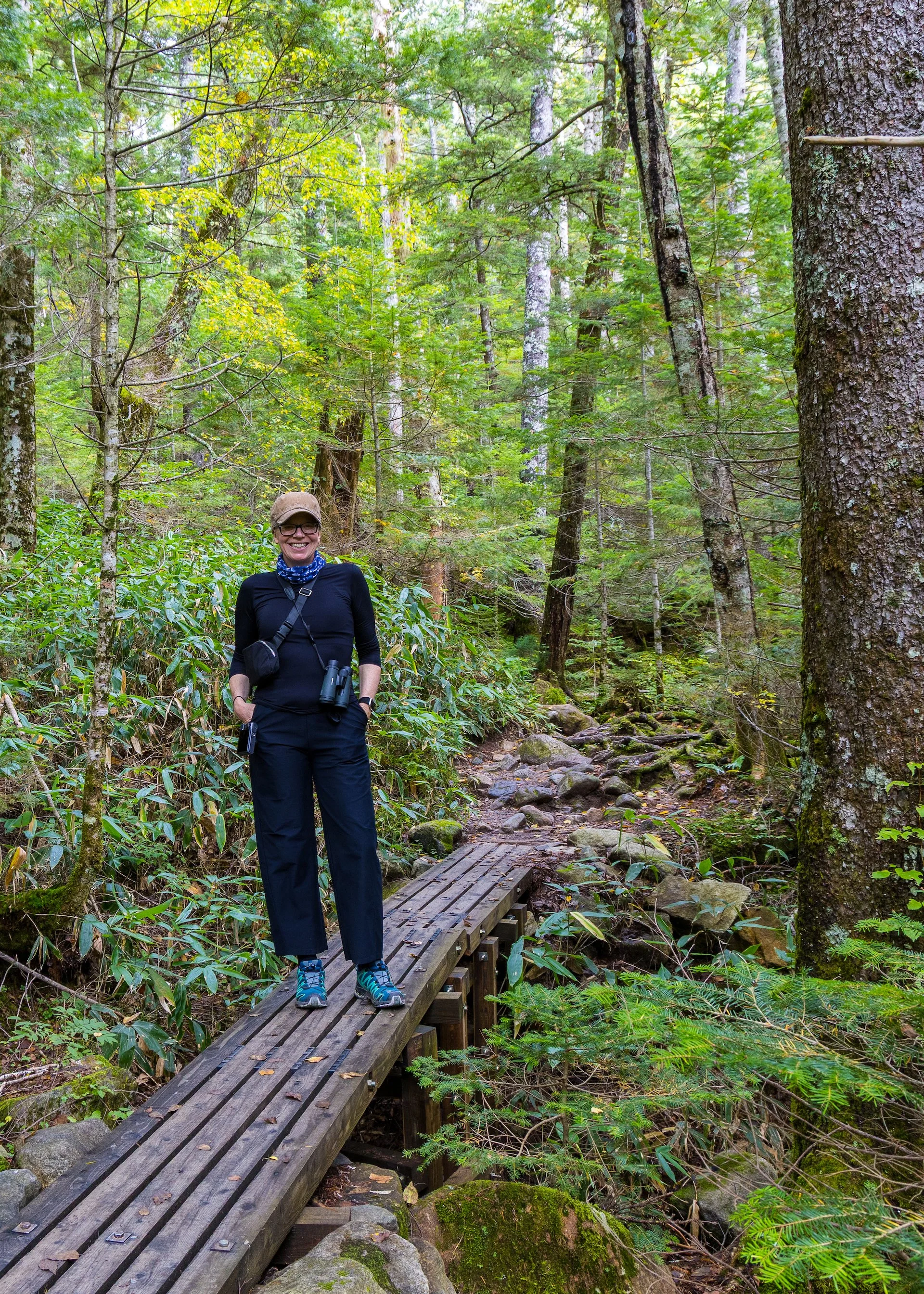
After our meal, a bit of a rest and visit to the washroom, it was time for the long trek back down the mountain. The good news was that the rain never came. And that the trip down only took an hour and a half. But man was it a painful trip down, and a treacherous one. Every step had to be carefully considered as you navigated the rocky terrain. It was a tough trek.
But we made it down successfully with no injuries. I picked up another blister to add to my collection, but thankfully none of the ones from yesterday broke open. A minor miracle.
The hike up to Dakesawa Hut. It was pretty much straight up and back.
Back in the village we grabbed a couple of beers and a bag of chips and sat on these small decks out front of our hotel to cool down and rest up. After our snack, we headed inside and enjoyed a soak in the onsen. My poor, tired body really needed that. After I got back Justine headed over to use the women’s onsen as well.
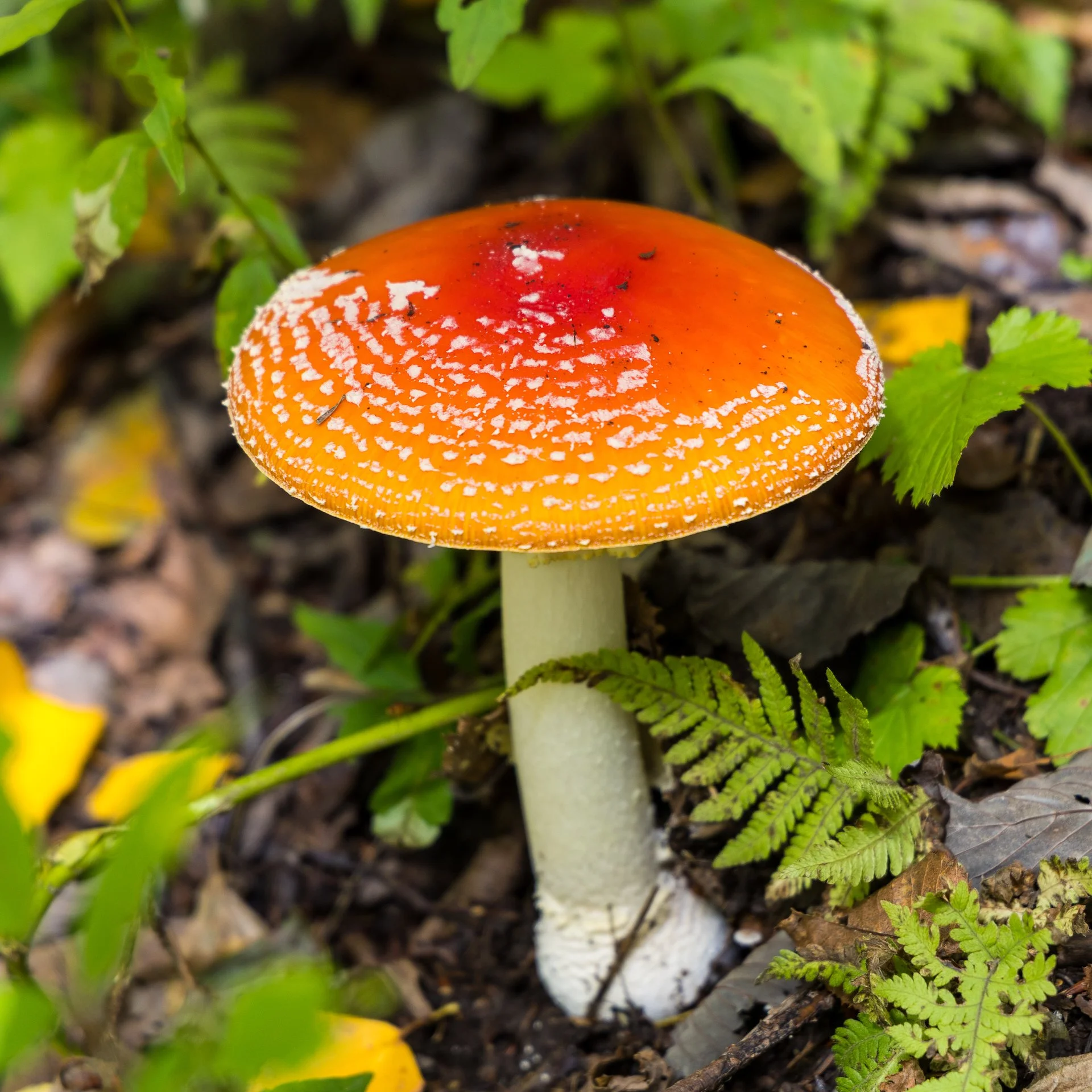
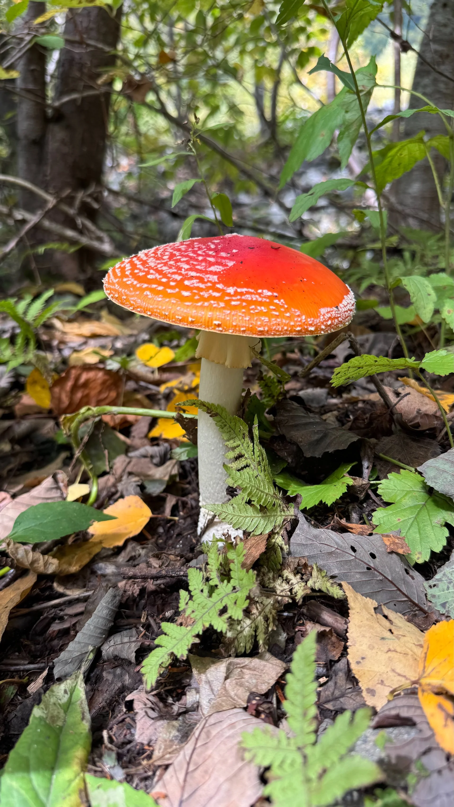
We chilled out in the room until it was time to have dinner. Dinner was amazing again (did I mention the mushroom soup?), and we ate our fill. After dinner we went outside and went for a short walk up to the bridge. It was much darker tonight, and the almost full moon from last night was being hidden by the clouds. The stars were also completely hidden, which was a shame. It was a short walk.
We went back to the room and watched a couple of shows on the iPad and called it a night. We were pretty beat and needed to get a good night’s sleep. We had most of the day tomorrow to enjoy Kamikochi but do have an early checkout which complicates things.
Daily Step Count: 27,611