For the next part of our Netherlands adventure, we were crossing from west to east, along the north of the mainland and heading to Sellingen, on the eastern border with Germany. We were to stay with Edwin and family for a few days, and we were excited to see his new home. This was going to be the “family” part of the trip, with lots of visits over the next few days. Plus we got to hang out with the sheep!
The drive to Edwin’s Wednesday was set to be our longer stretch of driving for the trip. We had to drive from Alkmaar to Sellingen to visit with Edwin and Carolien. The drive was about three hours, taking us across what we thought was a huge bridge across the North Sea and then across the north of Holland. As it turns out, it wasn’t really a bridge so much as a huge causeway (The Afsluitdijk) that was built across the series of small islands across the north sea. But still, it was an incredible engineering feat.
The drive across the Netherlands. This was really two days worth of driving, but it gives you an idea for where we went.
The Afsluitdijk is a major dam and causeway in the Netherlands. It was constructed between 1927 and 1932 and runs from Den Oever in North Holland province to the village of Zurich in Friesland province, over a length of 32 kilometres (20 mi) and a width of 90 metres (300 ft), at an initial height of between 6.7 metres (22 ft) along the section at Friesland, and 7.4 metres (24 ft) where it crosses the deep channel of the Vlieter. The Afsluitdijk is a fundamental part of the larger Zuiderzee Works, damming off the Zuiderzee, a salt water inlet of the North Sea, and turning it into the fresh water lake of the IJsselmeer. It is a major land reclamation project and a quicker road-connection between the North and West of the Netherlands.
The drive itself was pretty easy and we didn’t make any stops. When I was planning the trip I had thought we might stop along the way and check out a couple of the small cities on route but Mom was anxious to get there (and frankly they did not look that interesting) so we continued on.
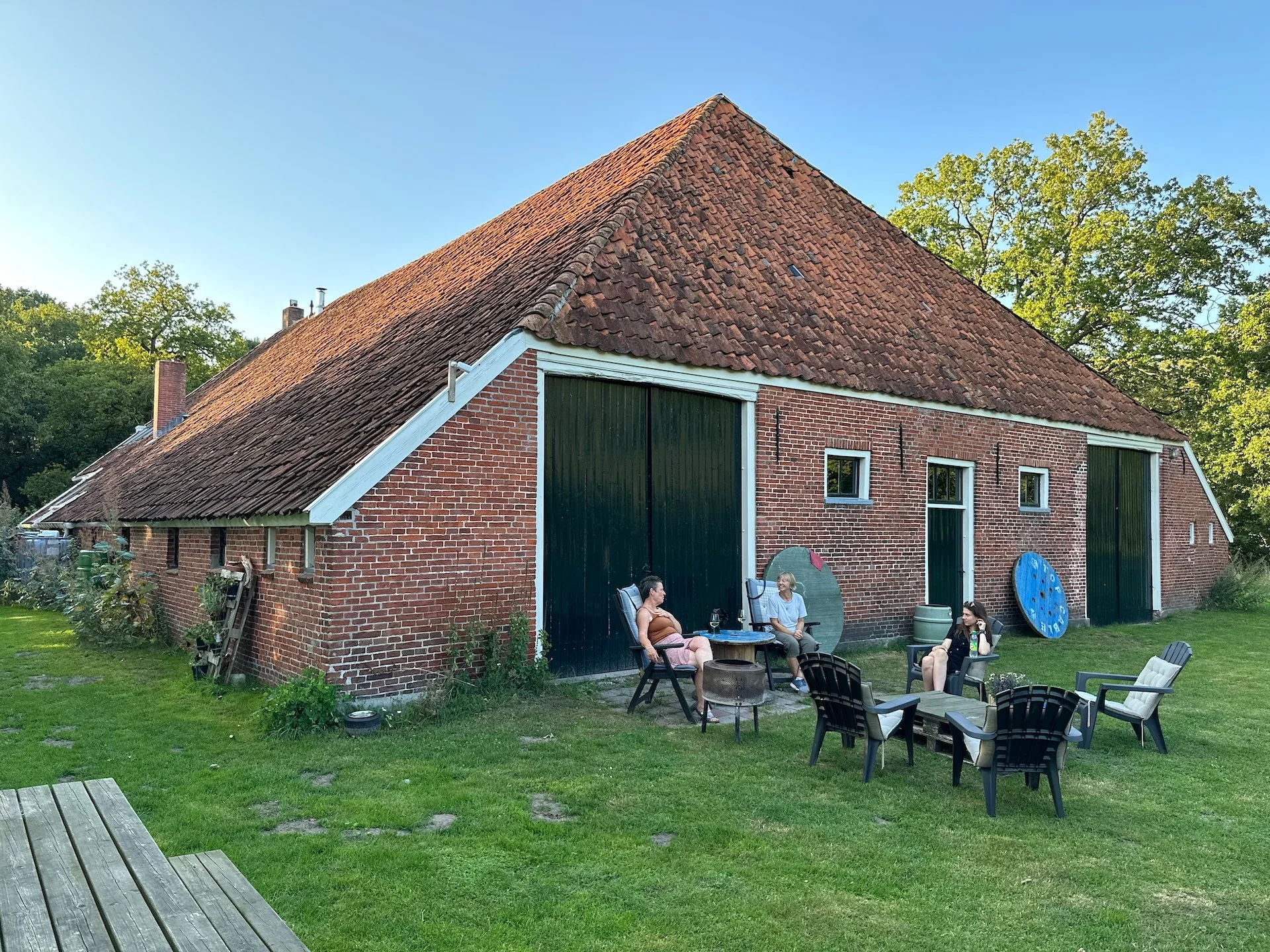
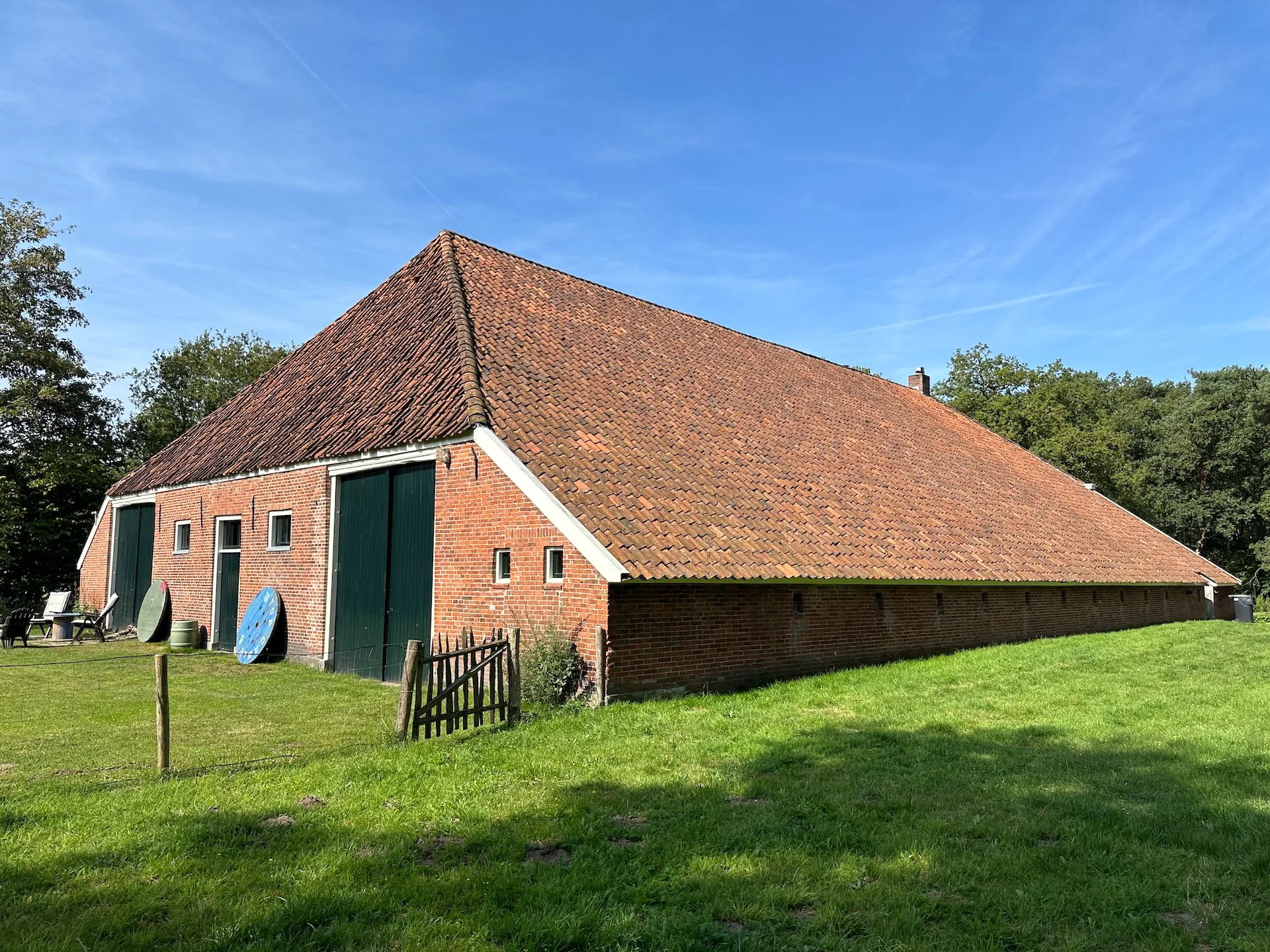
After a fairly long drive, we finally made it to Edwin and Carolien’s home - a cool house/barn combo dating to the mid 1800s.
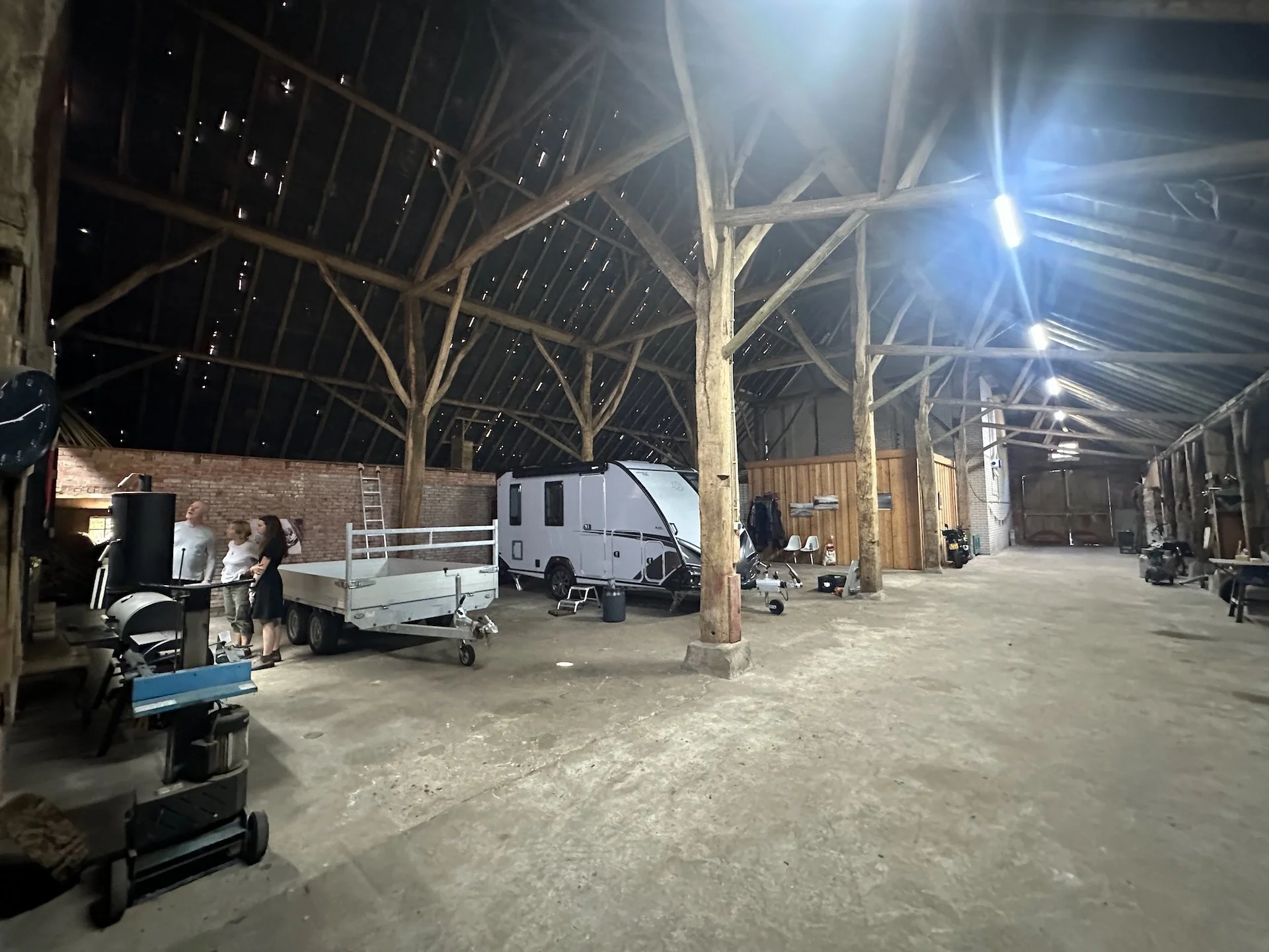
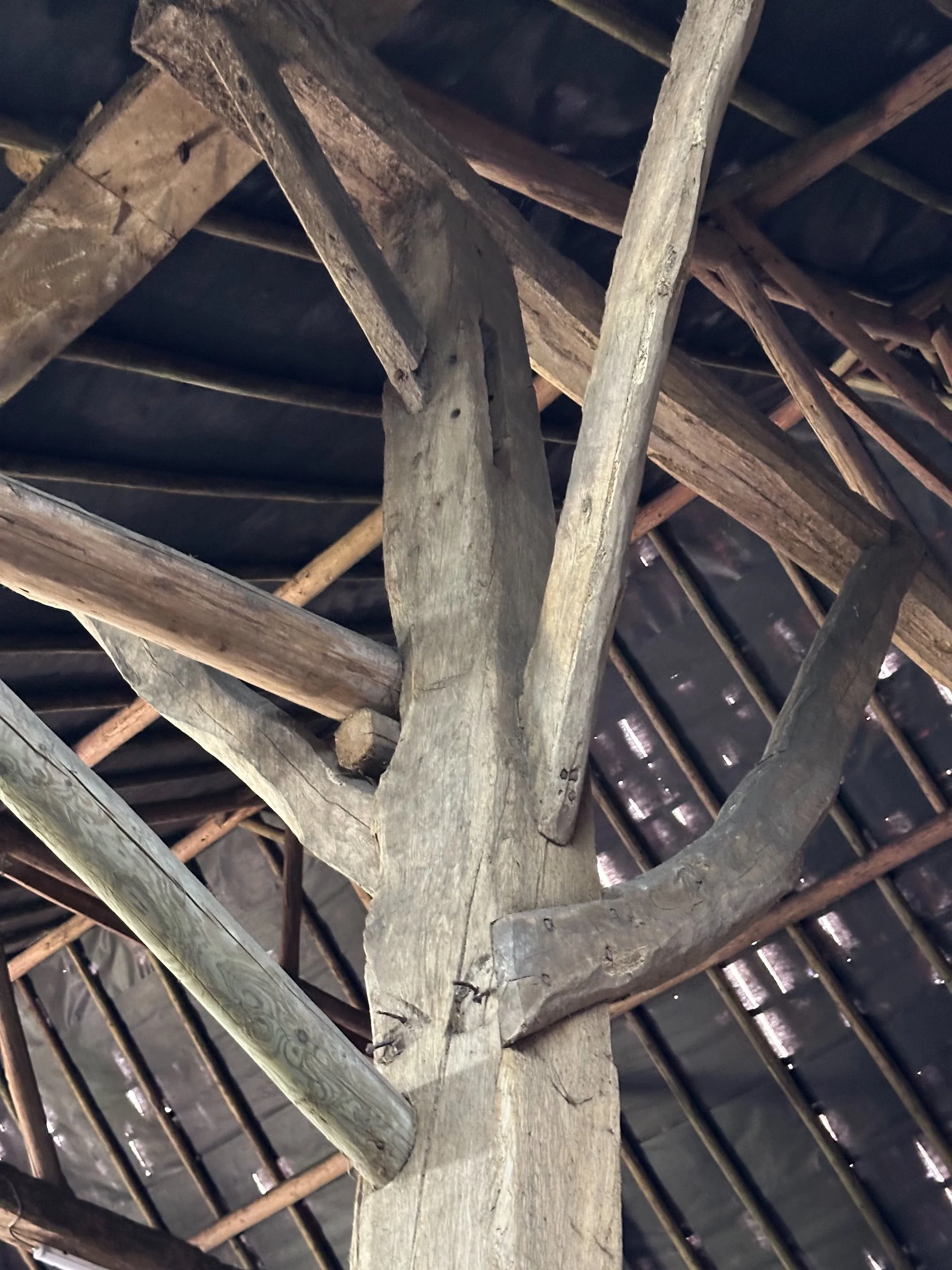
Edwin’s home is super-interesting - it is a combination of house and barn, in a single building. It seems that this was quite a common design in the Netherlands in that era, as many of the buildings we saw as we drove through the area were built in that same style. The house was built in 1865, making it historically significant. I hav ot say, I think that the inside of the barn area was the most impressive part of the structure.
Another view of the barn - I couldn’t get over home big it was!
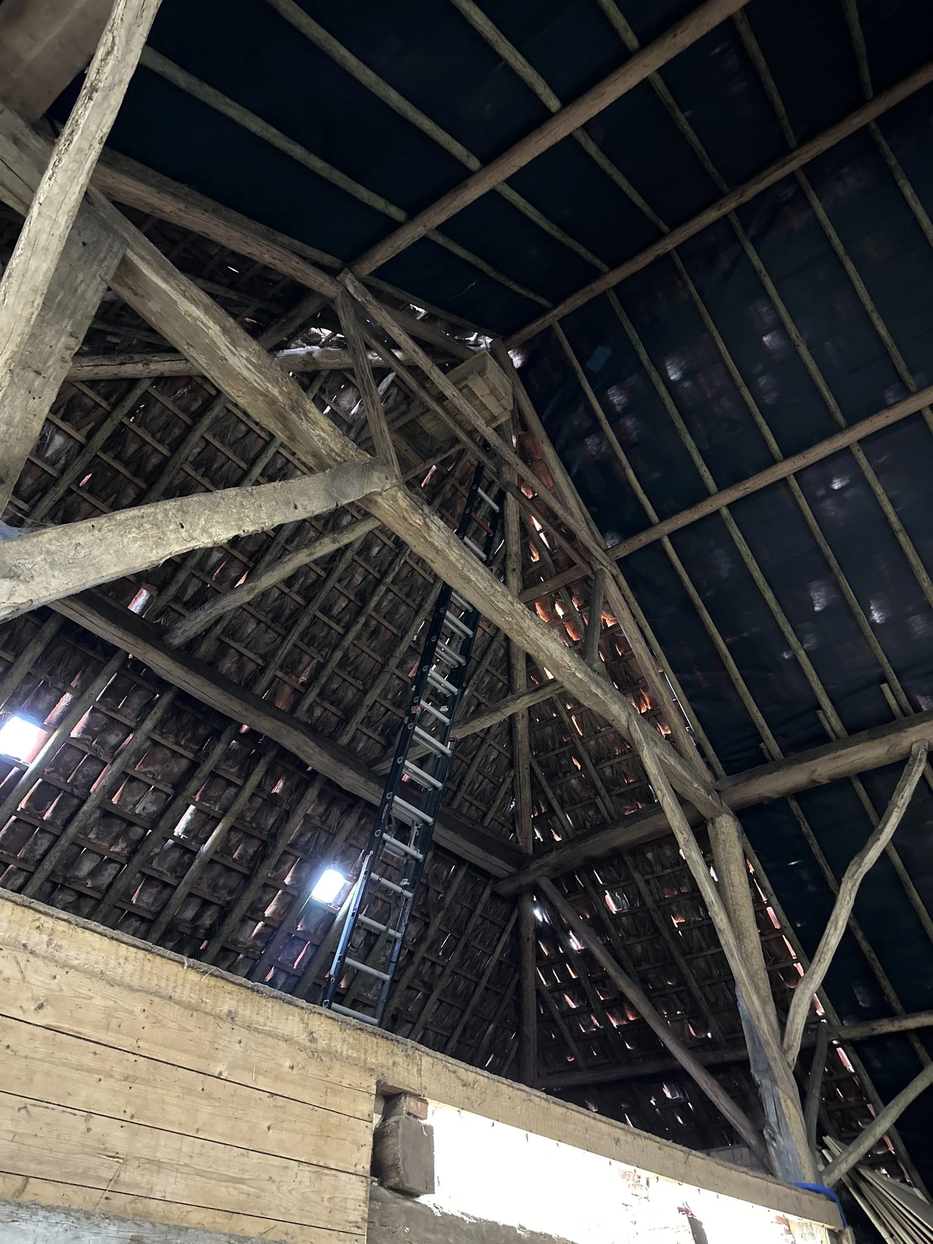
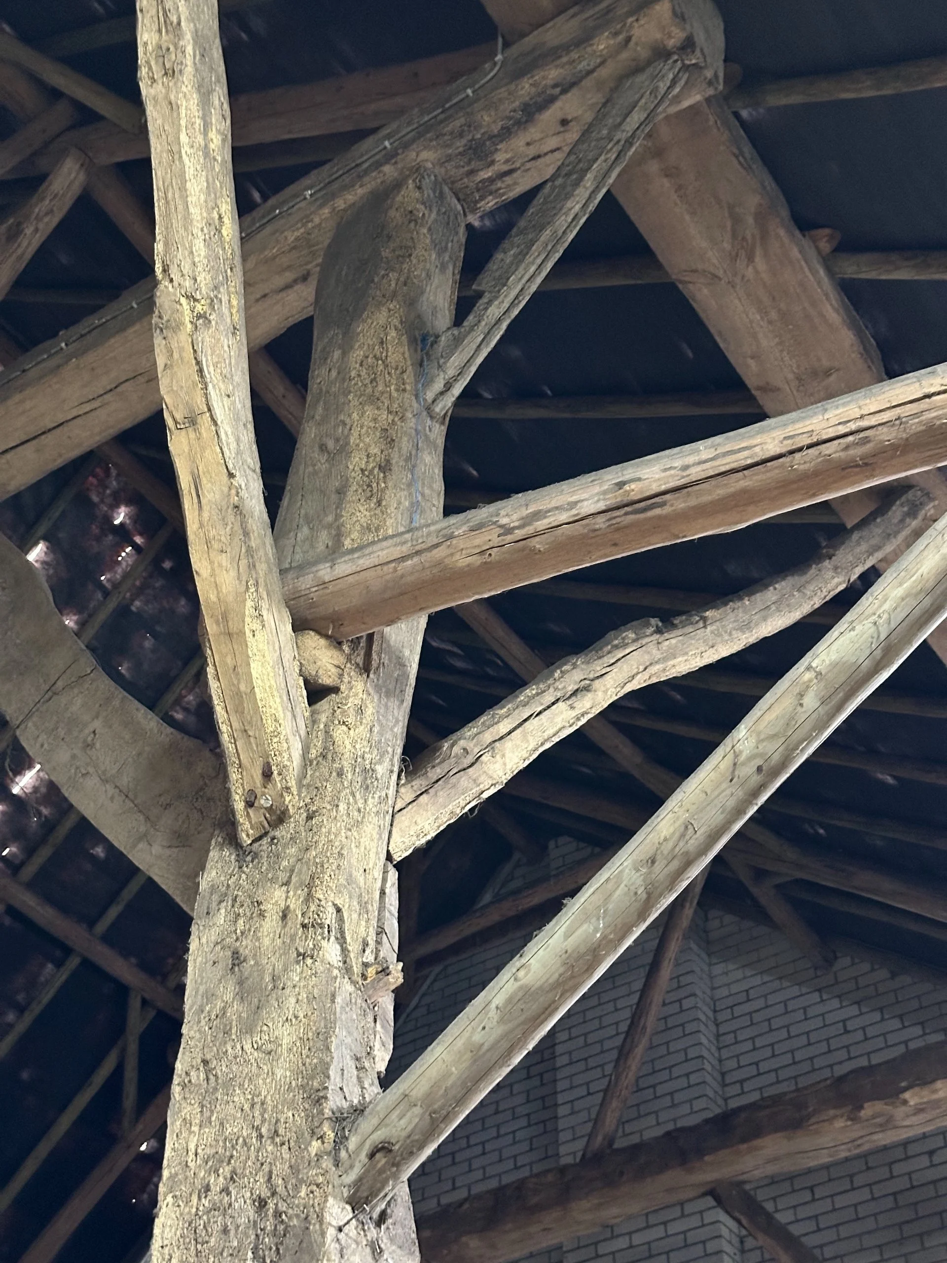
There are these huge beams that hold up the roof, a good 30’ or more in the air. They are just spectacular! Edwin believes the beams that were used to build the house and barn had been repurposed from older buildings in the area, and likely came from the 15th century. Looking at them, you could certainly believe it. The amazing house sits on a beautiful piece of property, and is part of a national park. The setting is ideal, as it gives Edwin access to land where he can keep sheep and practice is shepherding with his dogs.
Some of the incredible old beams, holding up the barn.
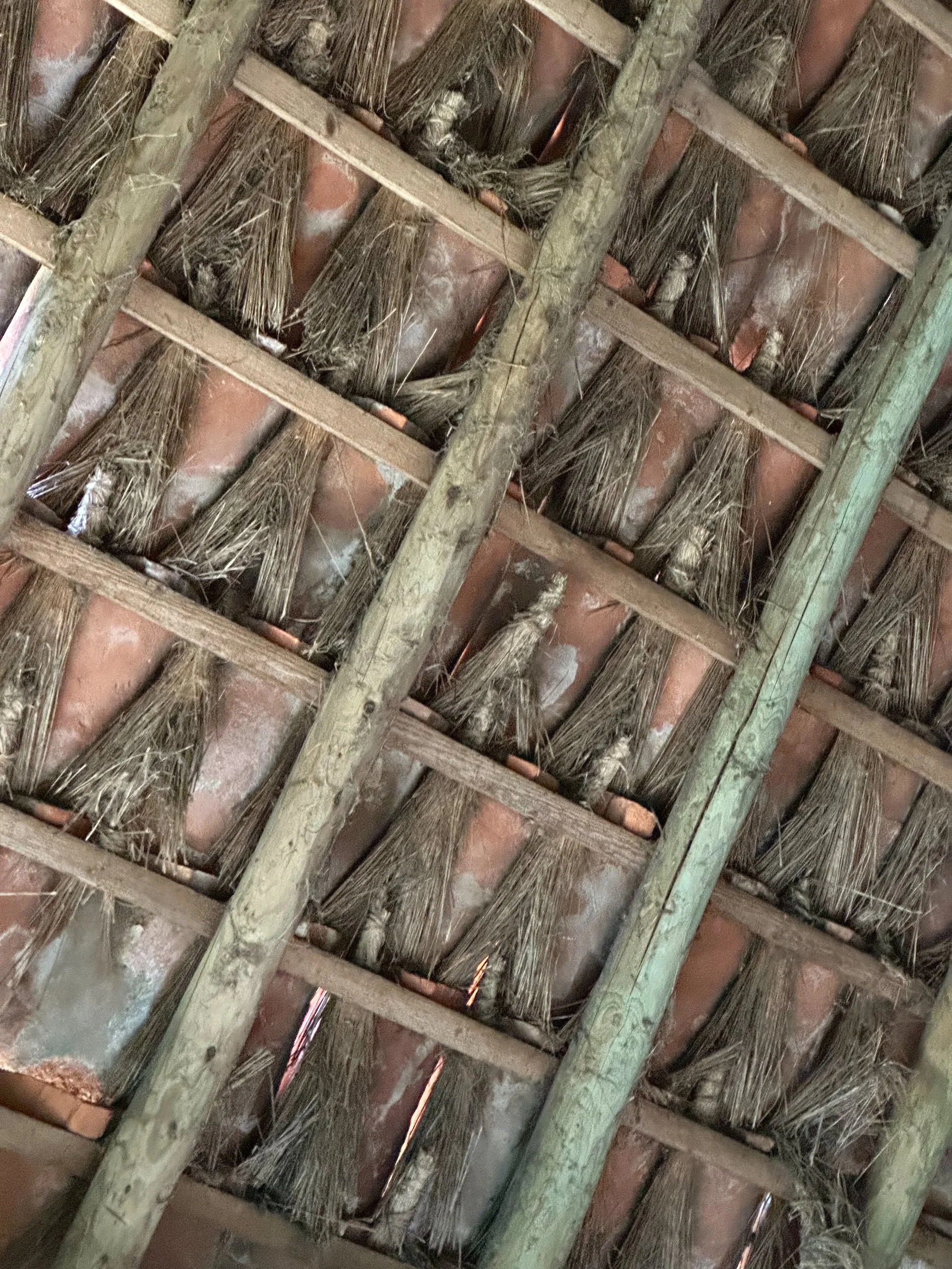
The roof used a traditional roofing method of ceramic tiles and small bunches of thatch - amazingly, no leaks!
More of the cool beams. I buy the 15th century.
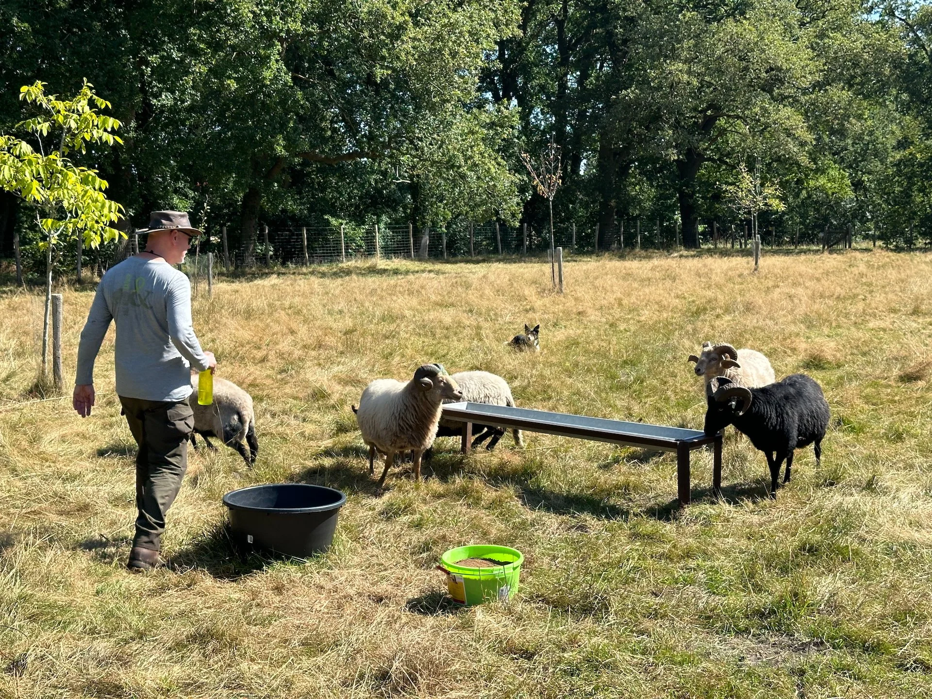
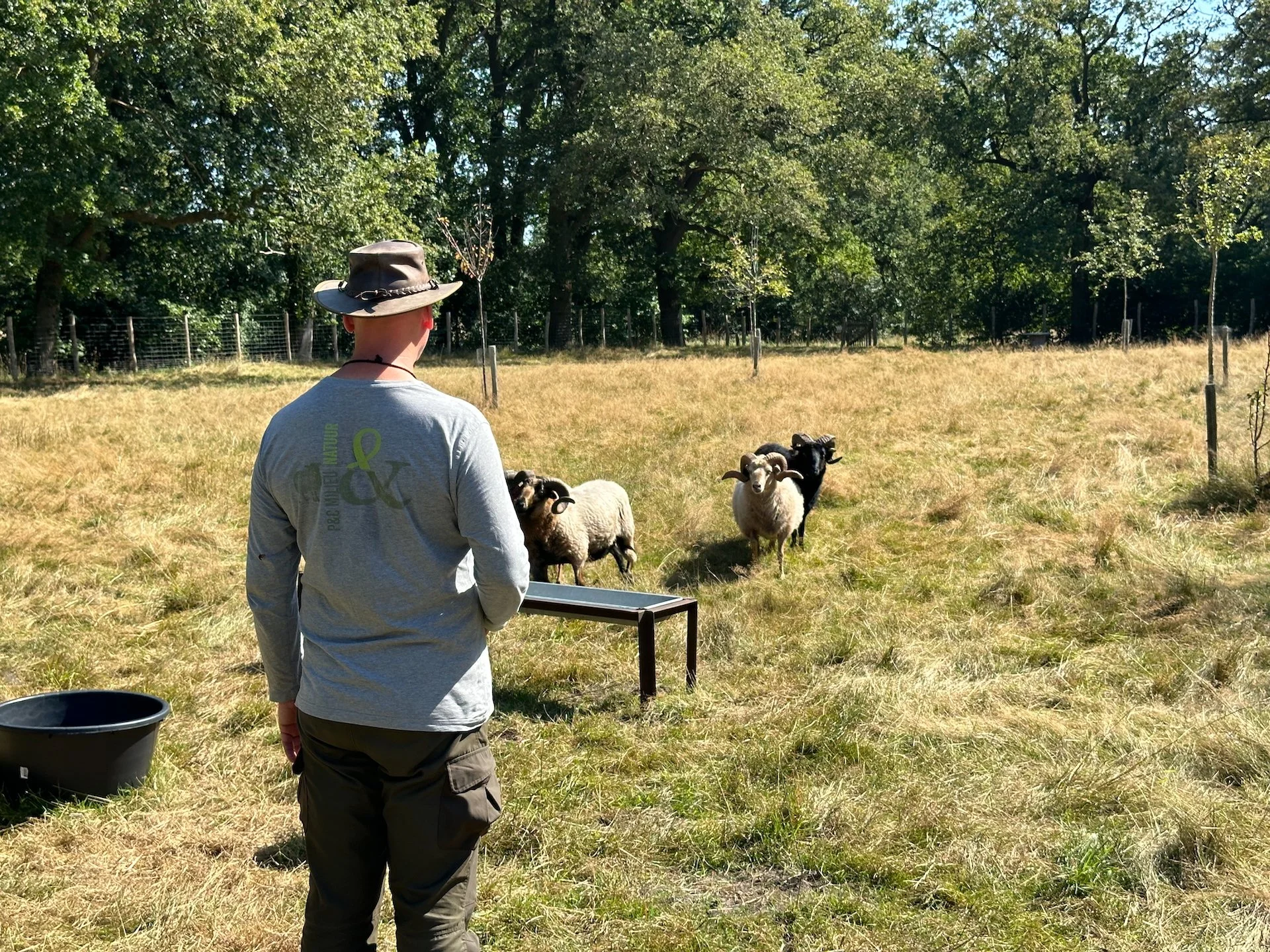
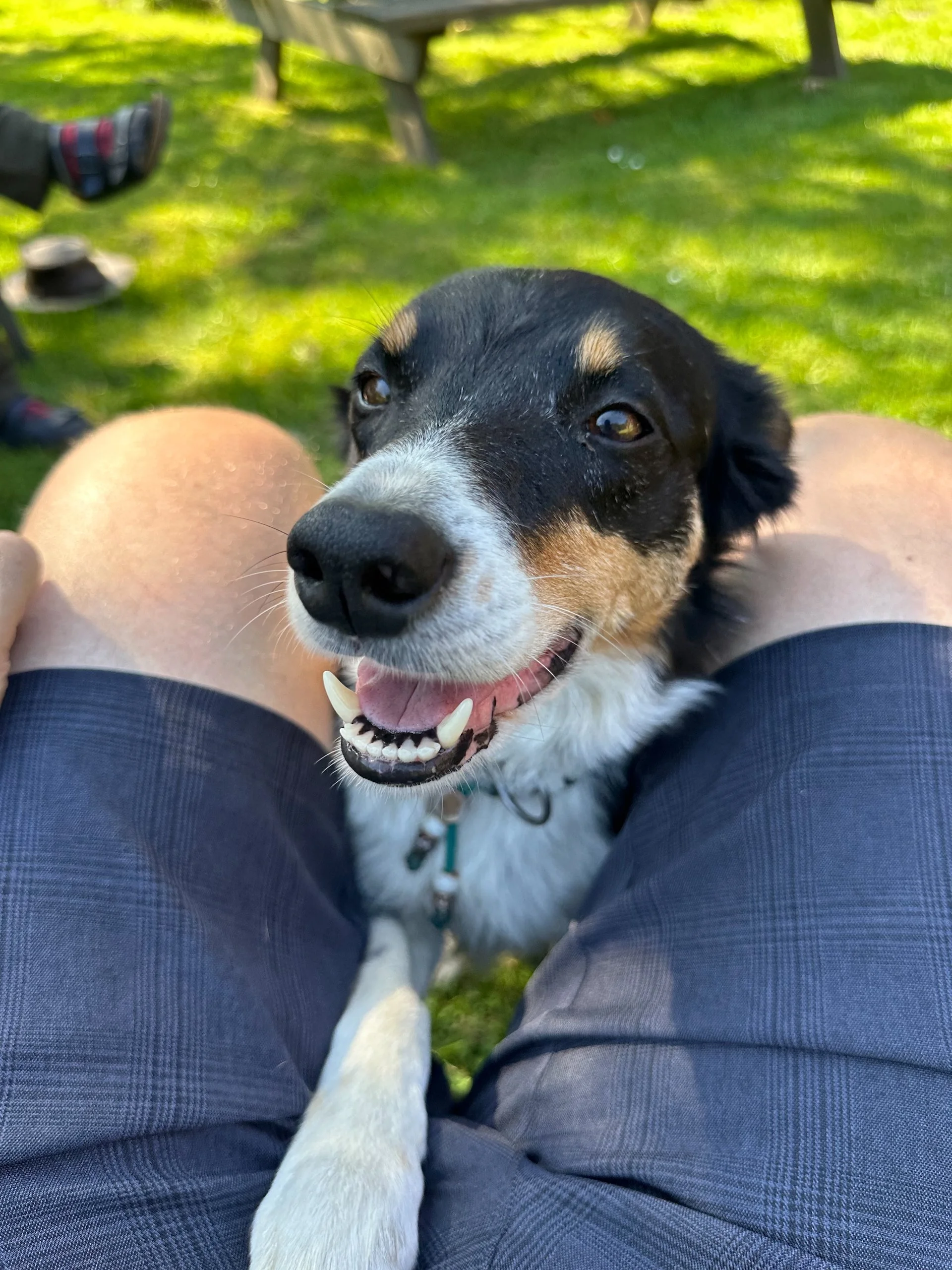
We spent the afternoon catching up, just sitting in the back garden with the dogs and the sheep and learning about all that had happened since they moved here. The last time I had seen them they were living close to the airport in Amsterdam, but that was back in 2013 or 2014. Edwin also showed us his little flock of sheep and gave us a quick demo of what he does with the dogs. Mom had not been to this new home either, as her last trip was also before they had purchased this house. It was nice to catch up.
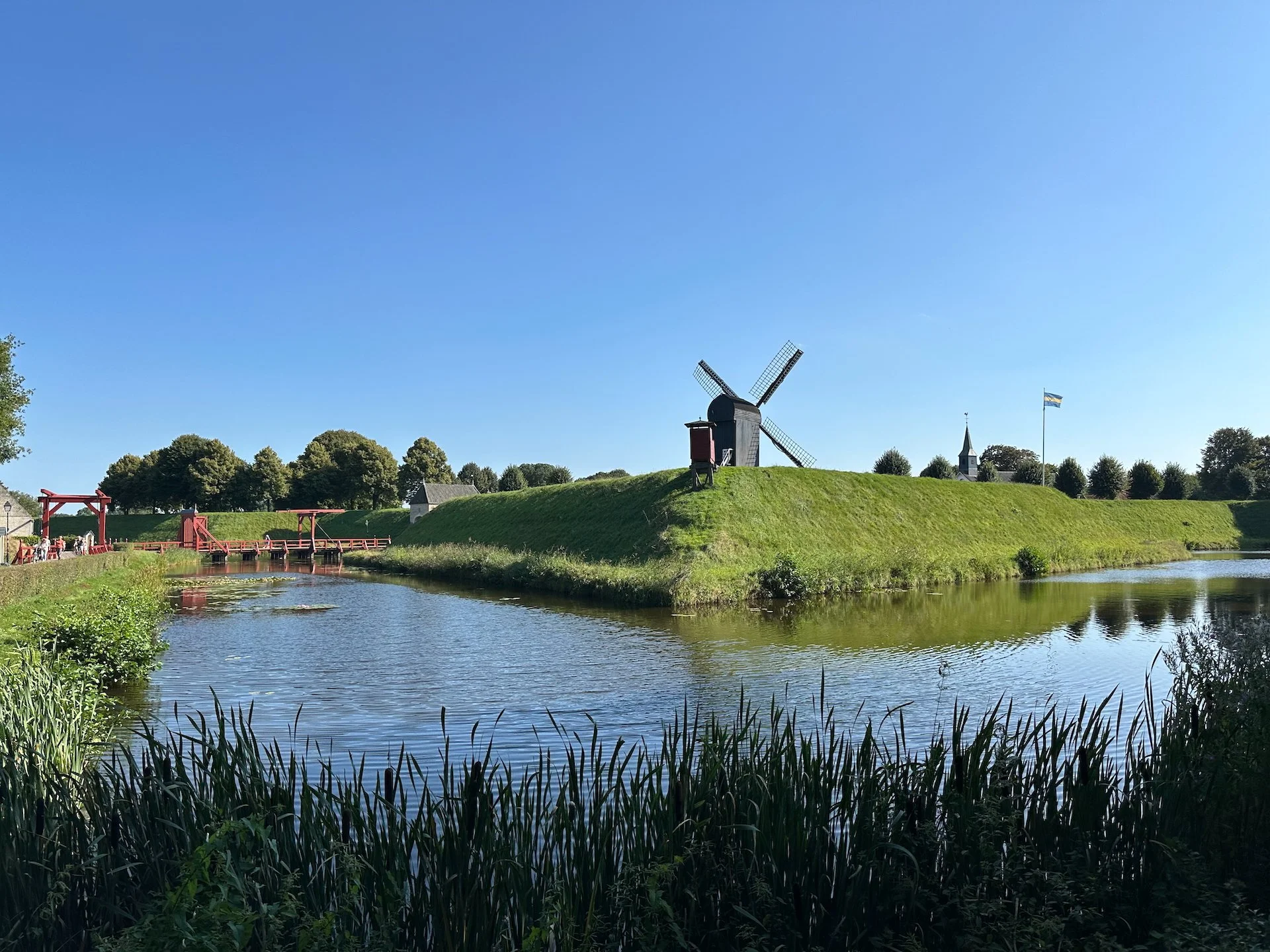
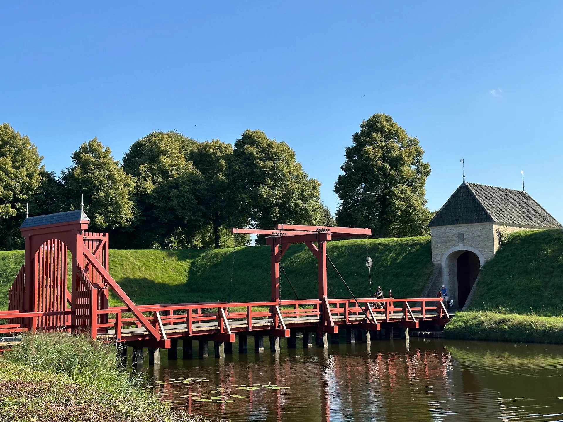
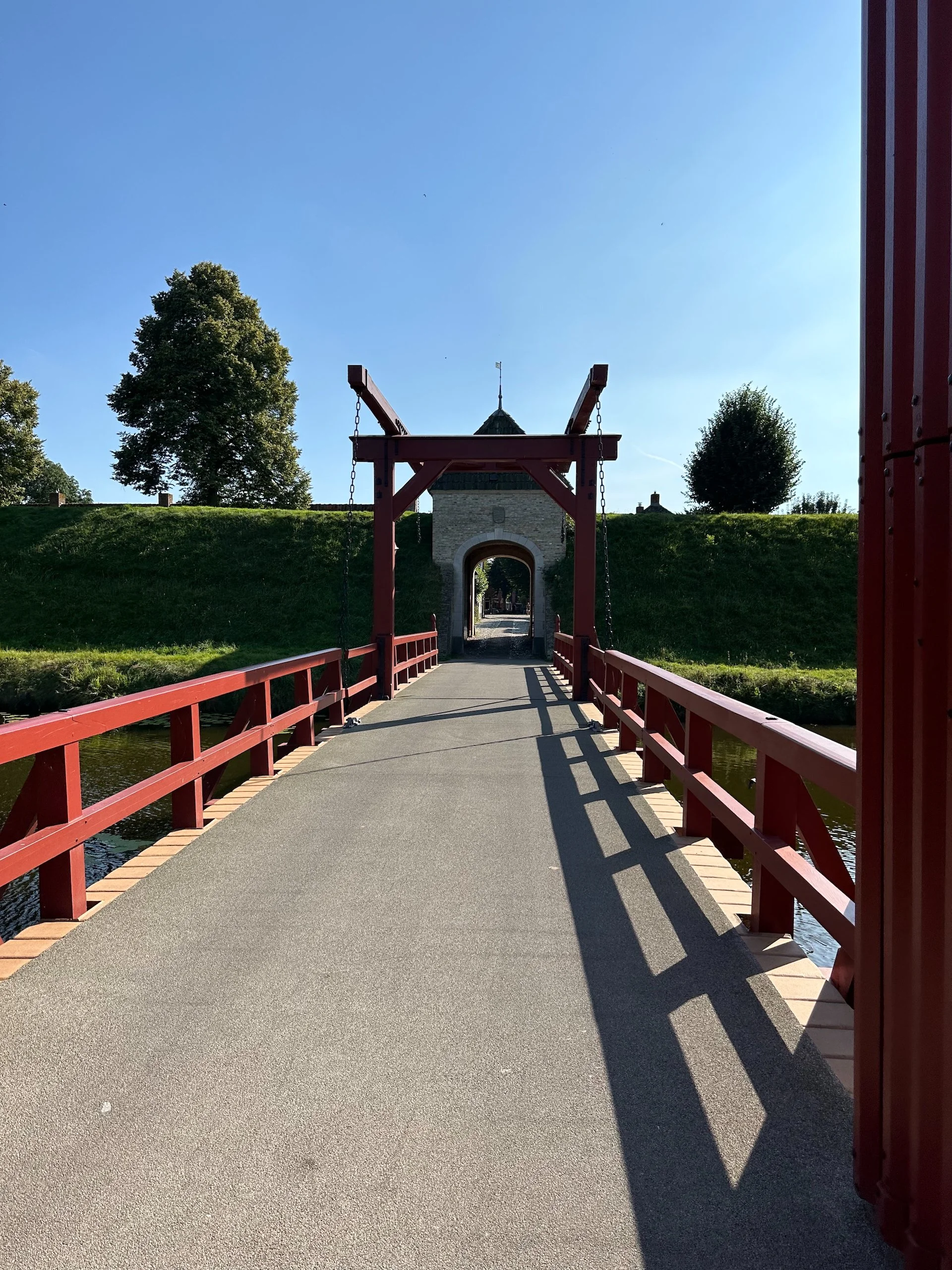
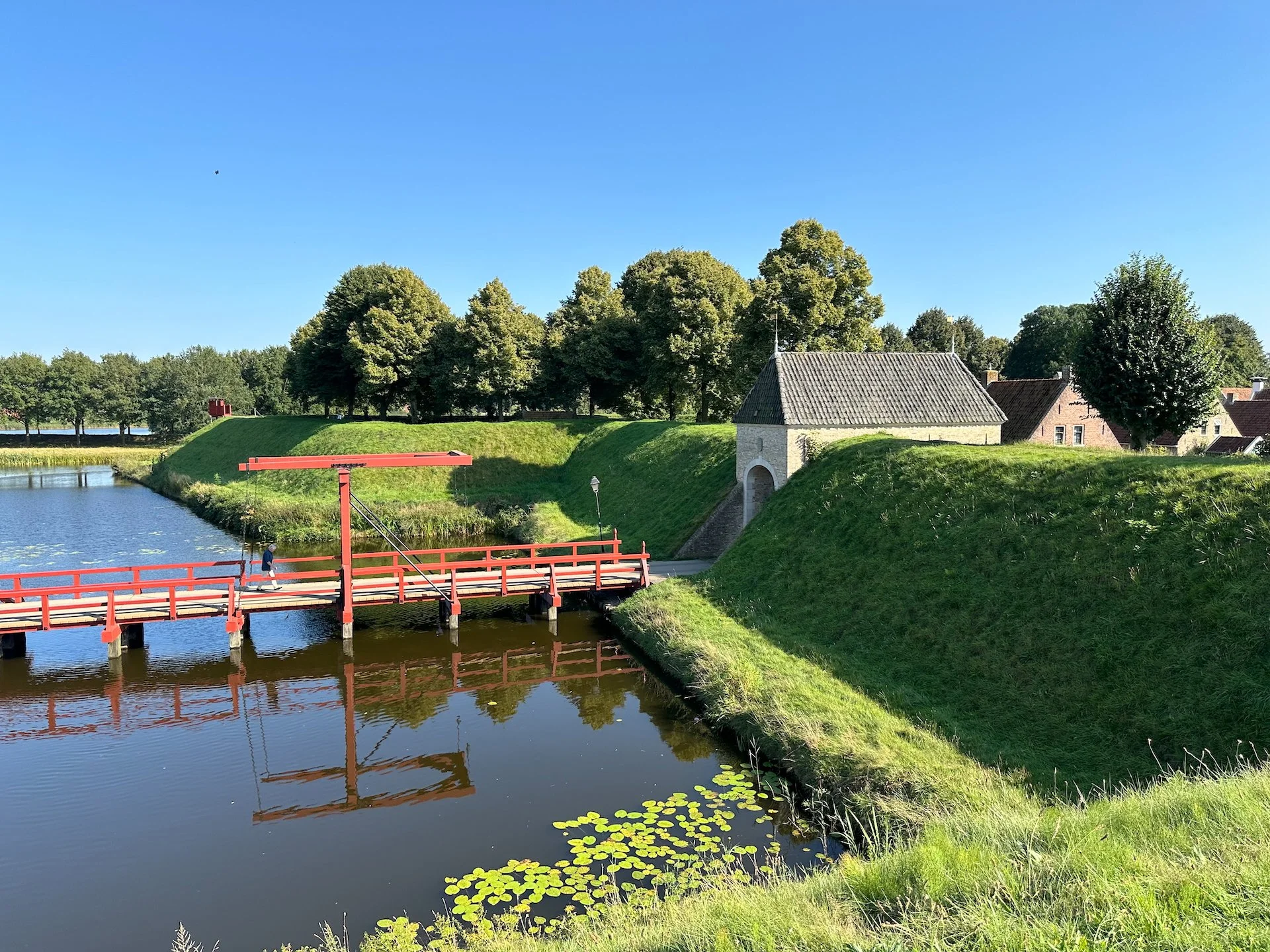
A nice view of the earthen fortifications and moat around the town of Bourtange.
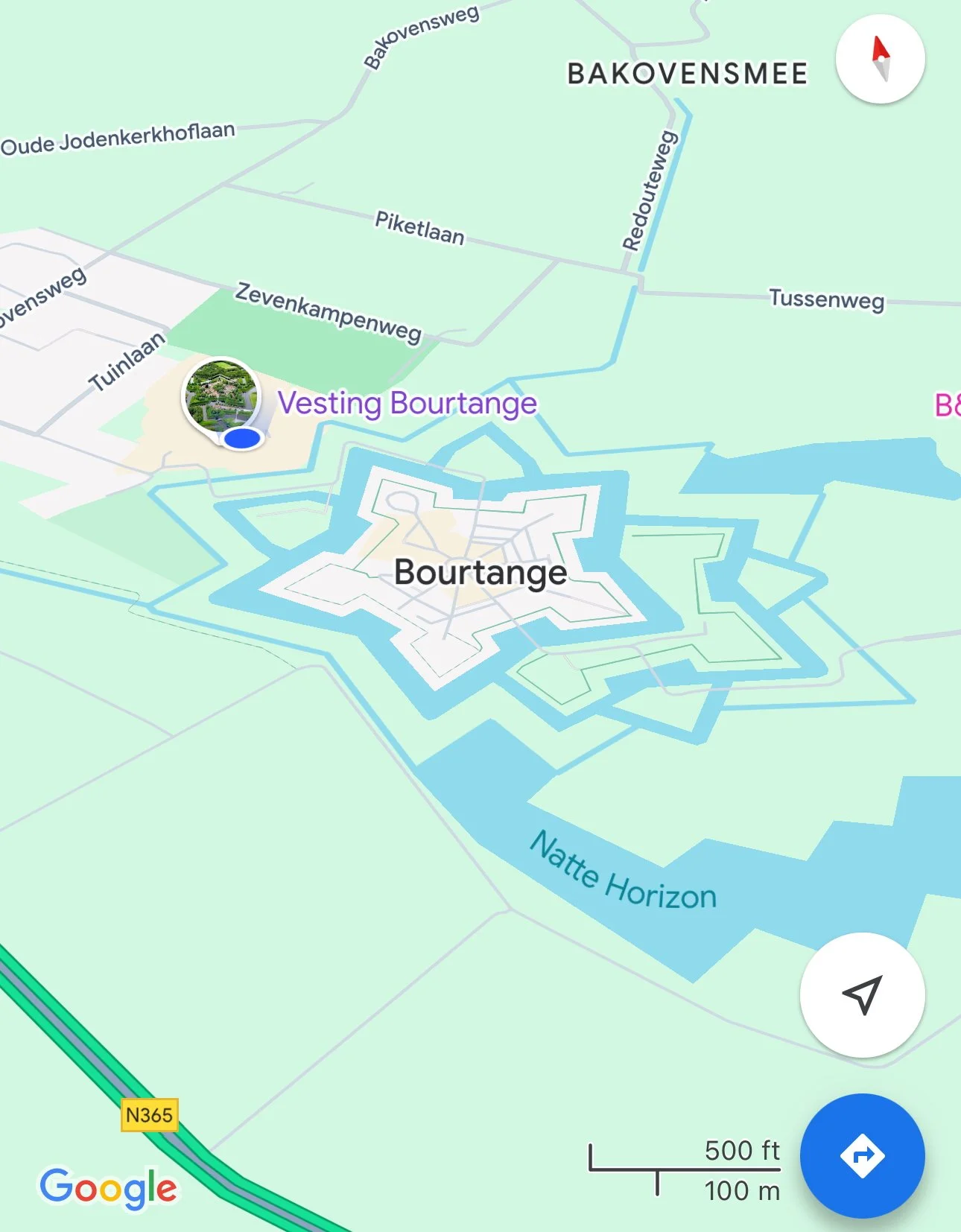
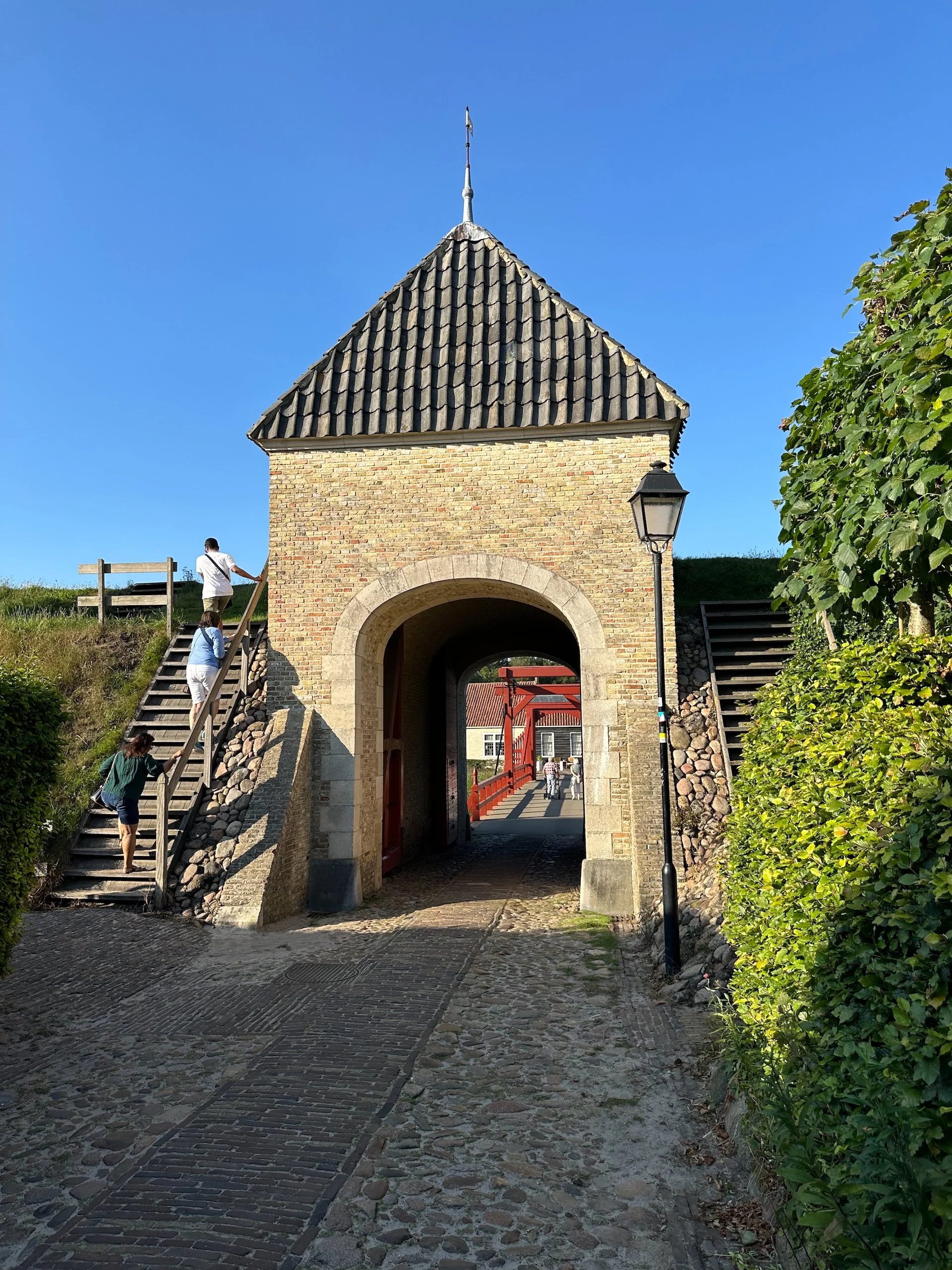
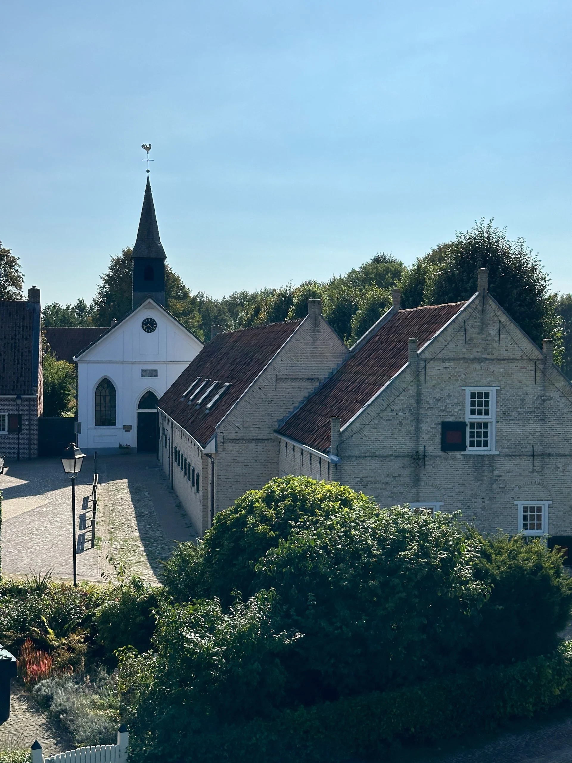
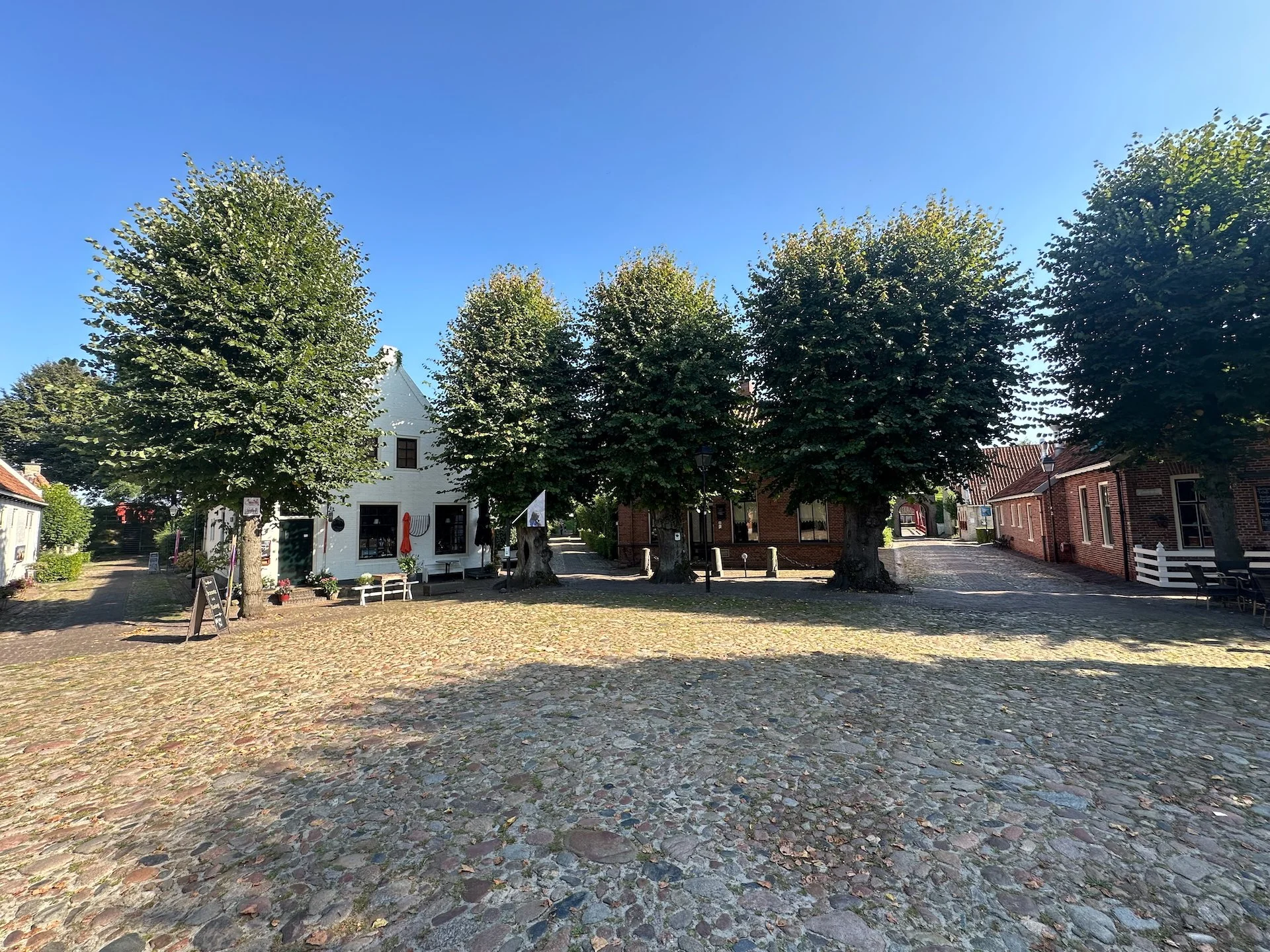
In the afternoon, we went for a short drive into the countryside and they took us to the town of Bourtange, a mediaeval town built inside earthen fortifications in the shape of a star.
Bourtange is a village with a population of 430 in the municipality of Westerwolde in the Netherlands. It is situated in the region Westerwolde in the east of the province of Groningen near the German border. Fort Bourtange was built in 1593 during the Dutch Revolt and was used until 1851. Between 1967 and 1992 the star fort was gradually restored to its mid-18th-century state and it is currently an open-air museum.
Fort Bourtange was initially built during the Eighty Years' War (circa 1568–1648) when William I of Orange wanted to control the main road between Germany and the city of Groningen which was controlled by the Spanish. This road followed a sandy ridge (tange) through the marshes (the Bourtange Swamp).
Later, around 1594, Bourtange became part of the fortifications on the border between the northern provinces (Groningen, Friesland, Drenthe) and Germany.There are people still living inside the town today, inside original buildings from the middle ages. It was pretty cool to see.
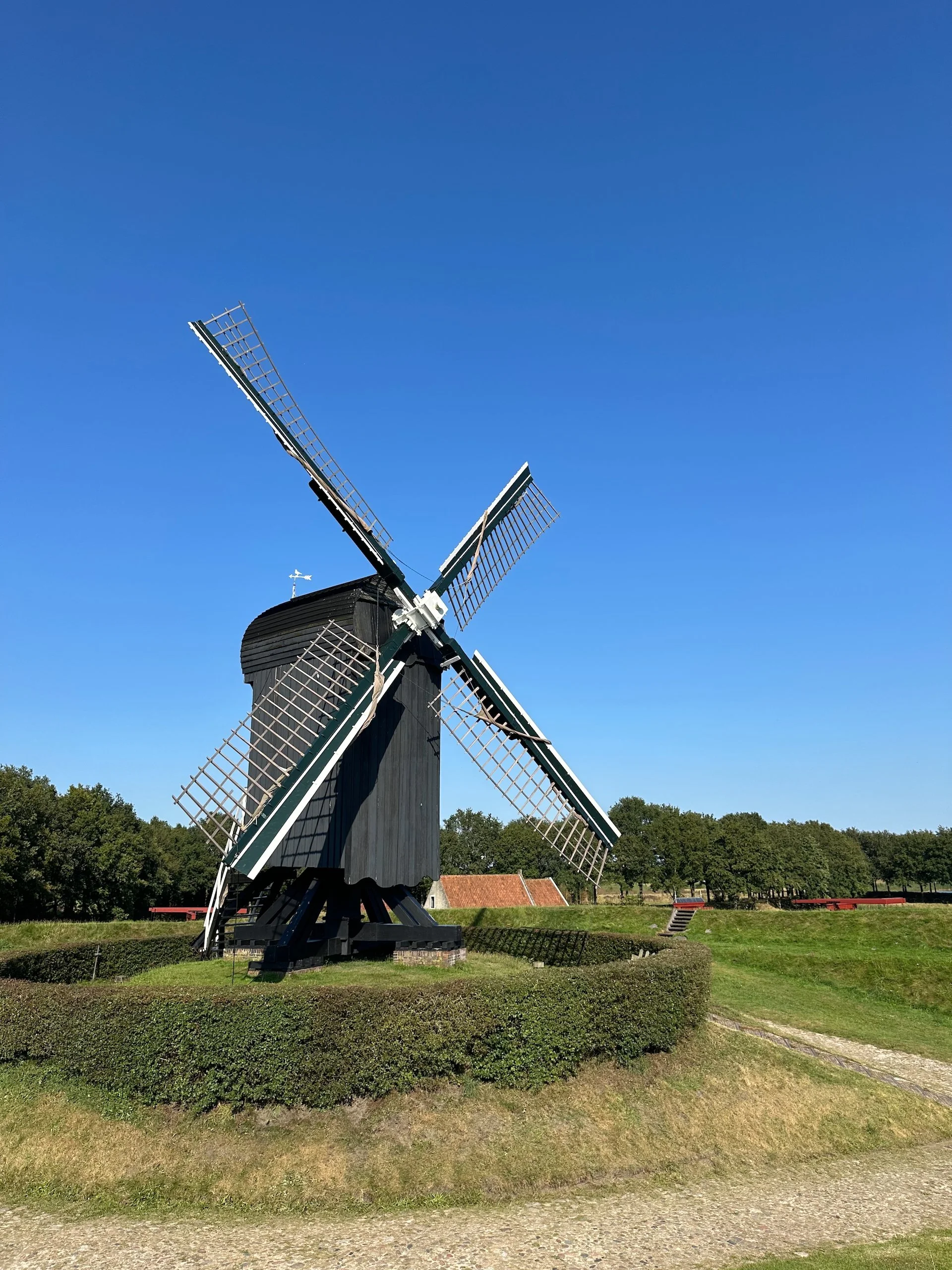
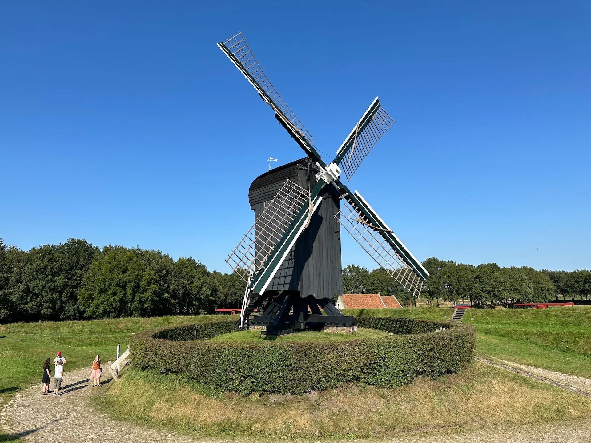
We had a lovely snack and some drinks on a patio in the middle of the town square and wandered around to check out all the elements of the old town. I particularly enjoyed the views as we walked along the fortifications. It was later in the afternoon, the light was quite lovely and I think I got some nice photos, including the windmill inside the town and some of the fortifications.
The five explorers!
Deep fried goodness…Carolien was insistent that we needed to try proper bitterballen (the round ones), a Dutch meat-based snack, made by making a very thick stew thickened with roux and beef stock and loaded with meat. I thought they were pretty tasty, but could see it not being for everyone…
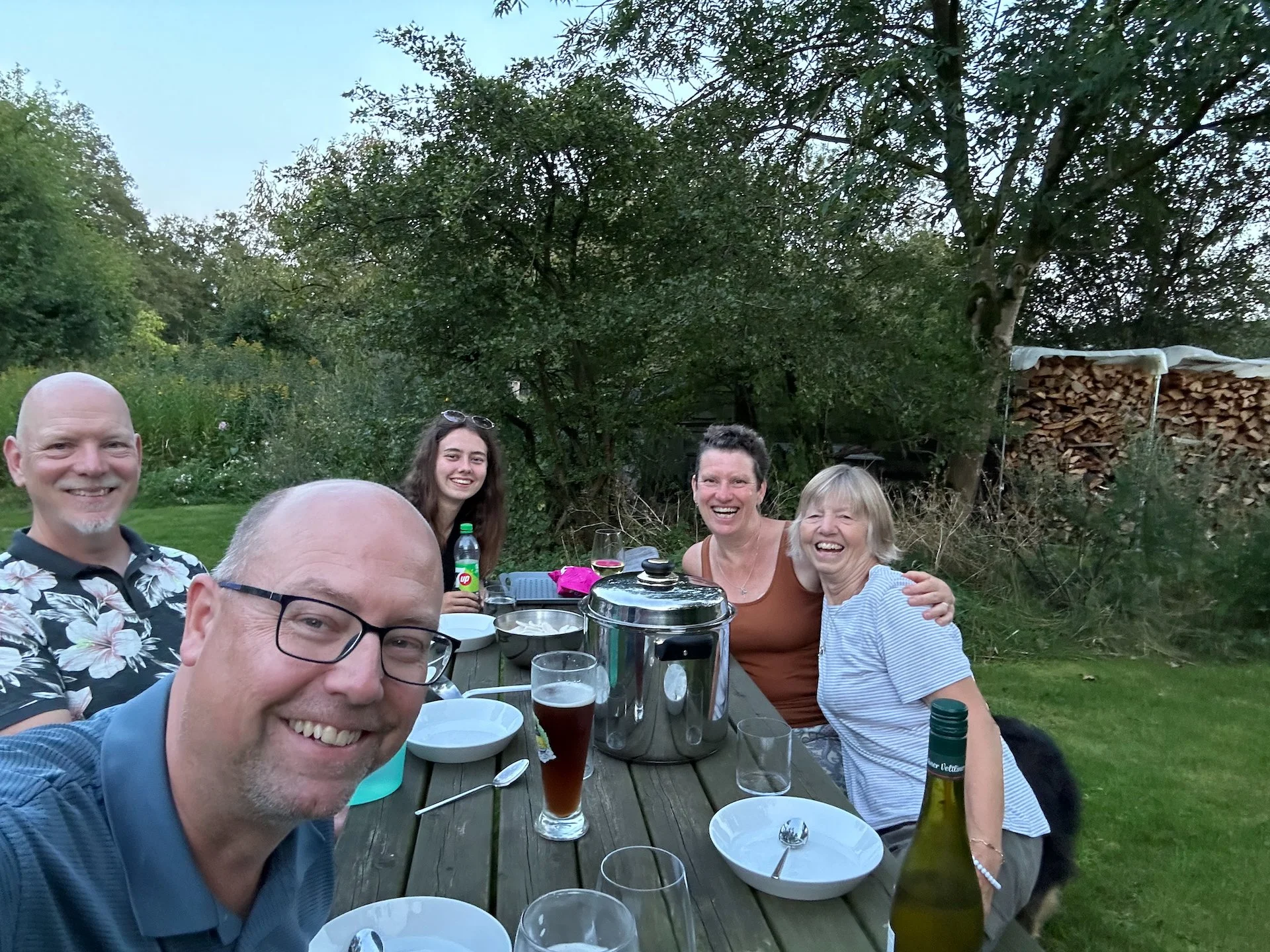
After out short diversion. we went back to Edwin’s. We made some dinner which we enjoyed on the picnic table on the back lawn and we had a lovely evening continuing to catch up.
