Exploring out of Town
On Sunday, Kedar offered to take us out of town a bit to explore some caves and historical sites. Our original plan did not quite pan out, but we ended up having a great day!
Bhaja Caves
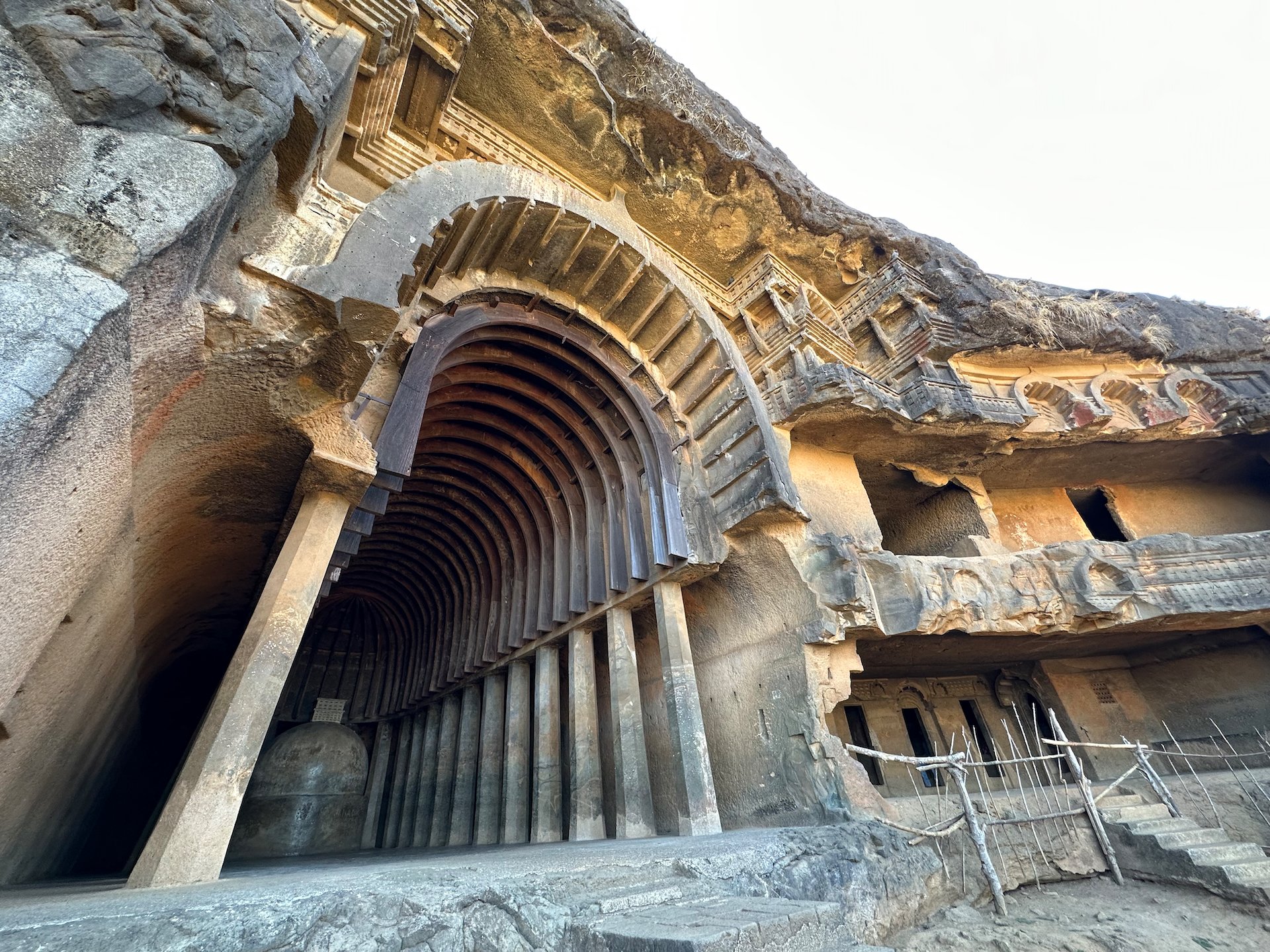
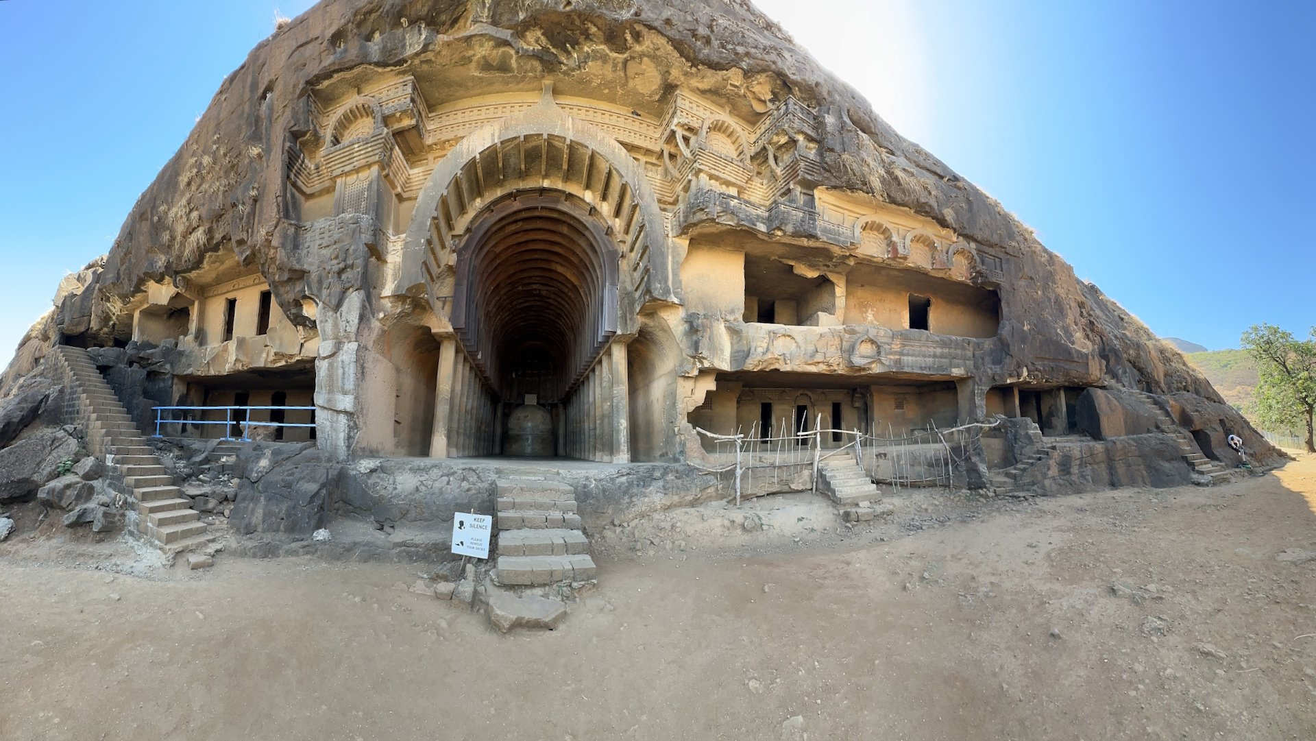
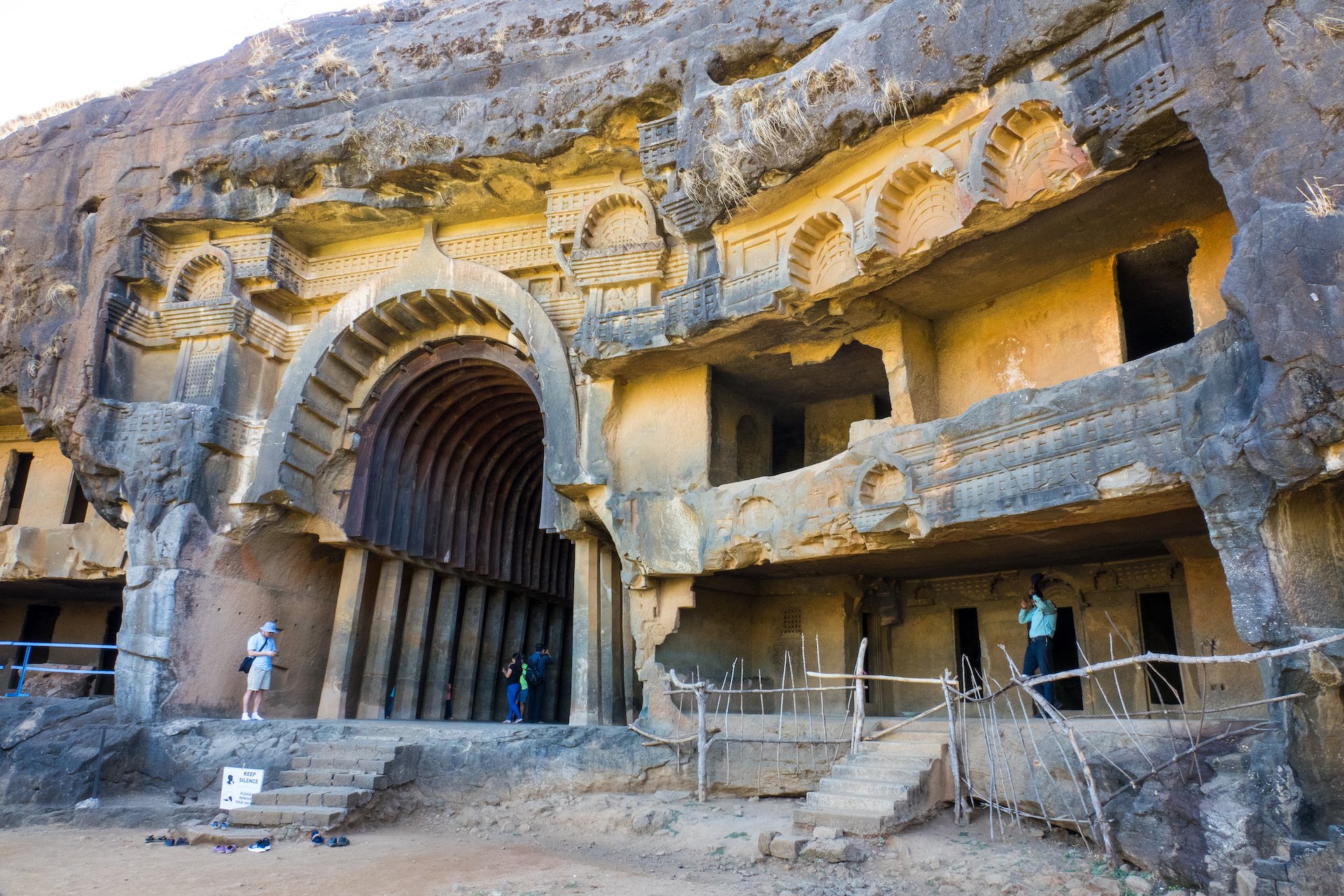
The front entrance to the cave complex - all carved by hand!
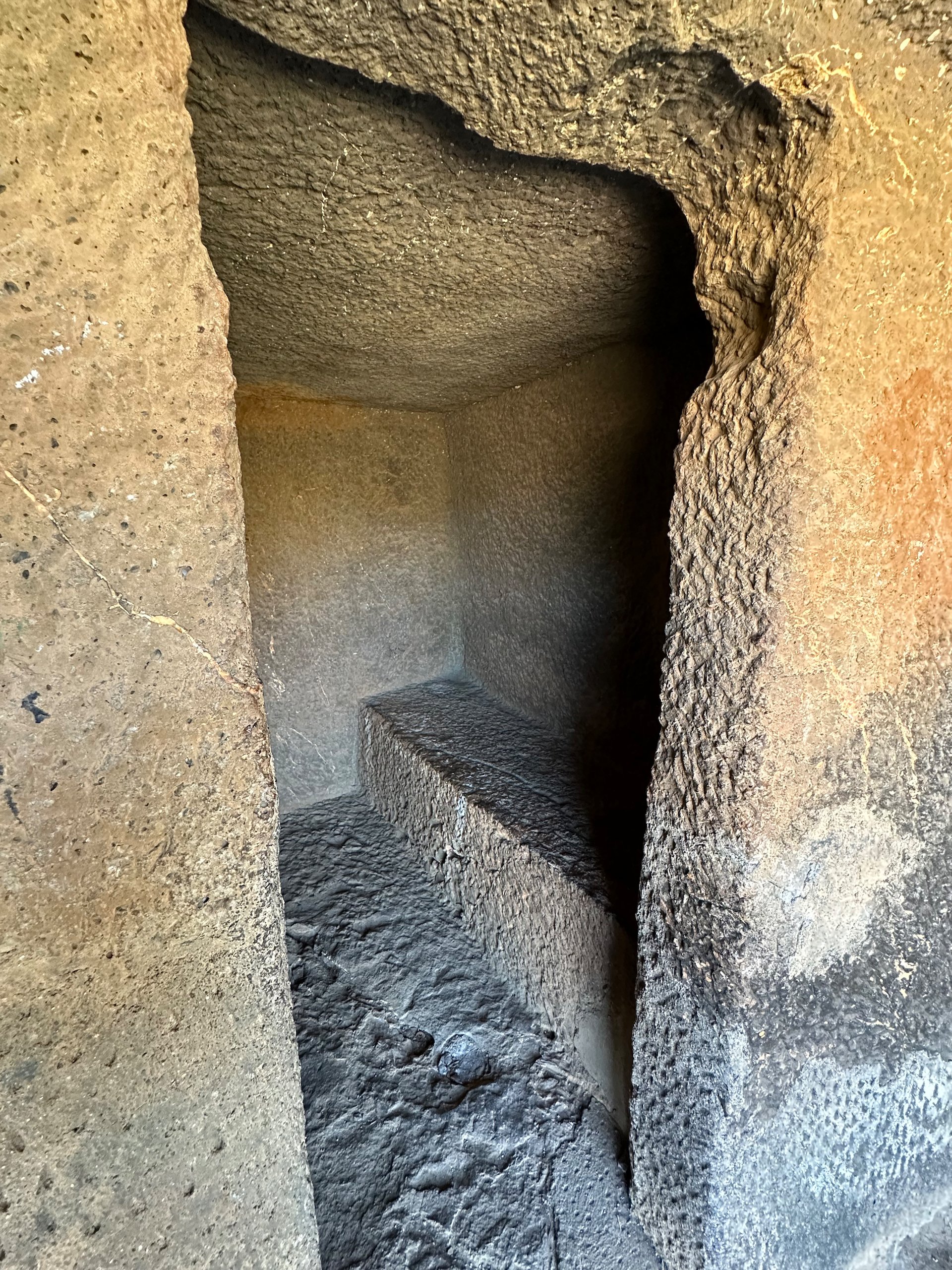
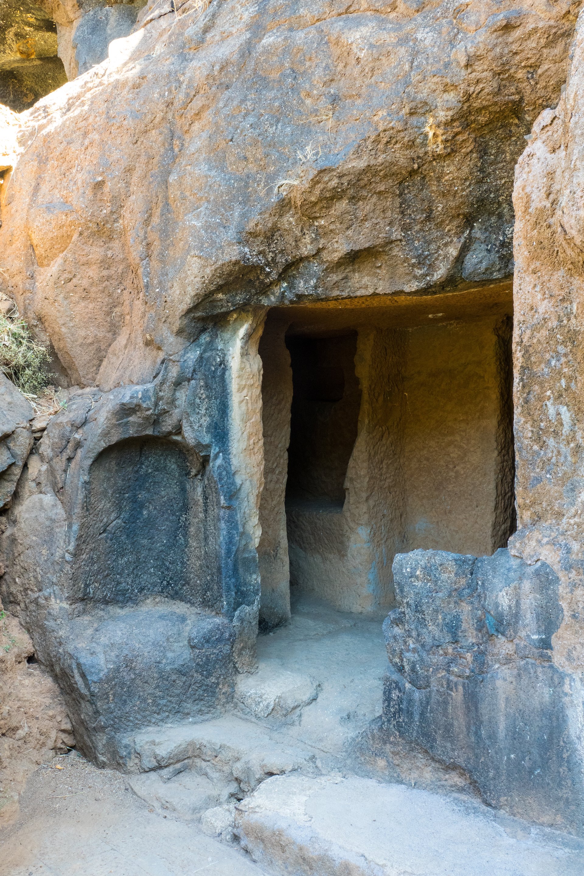
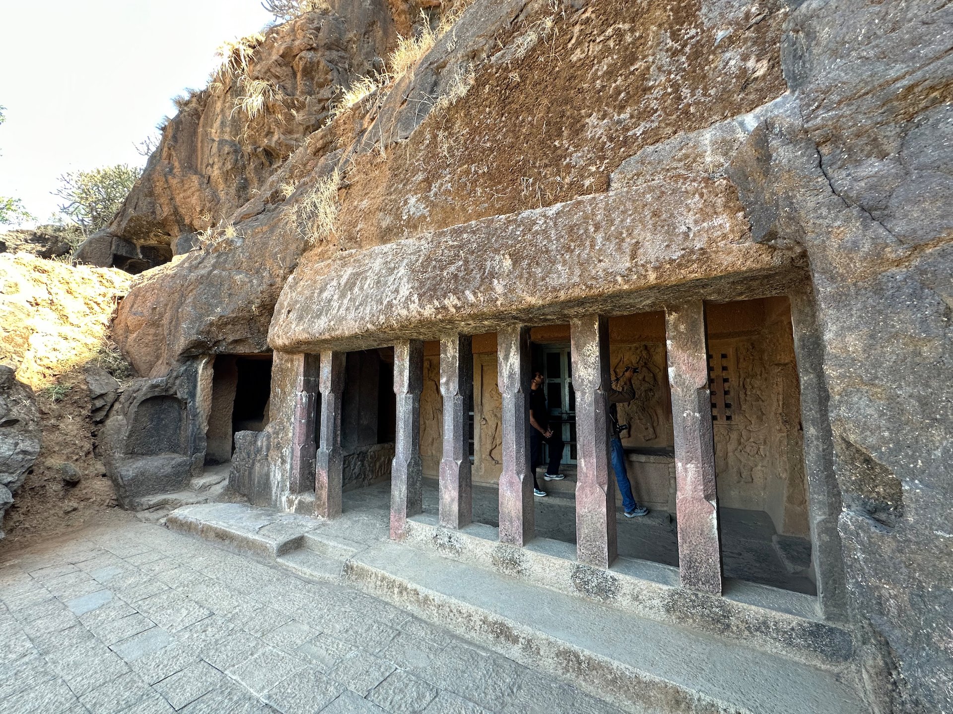
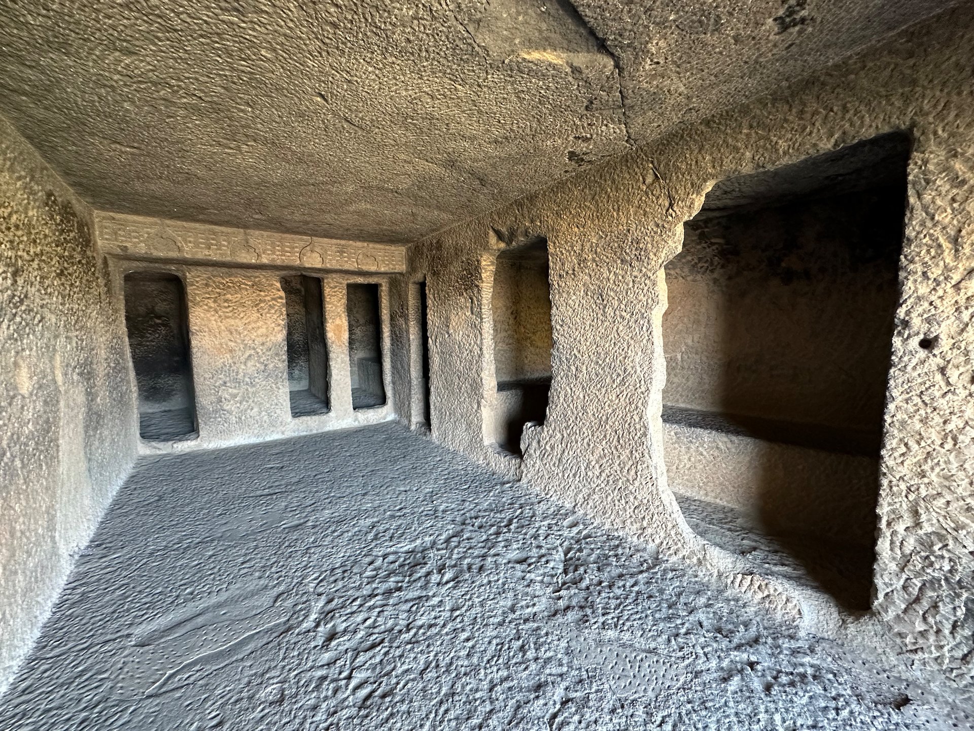
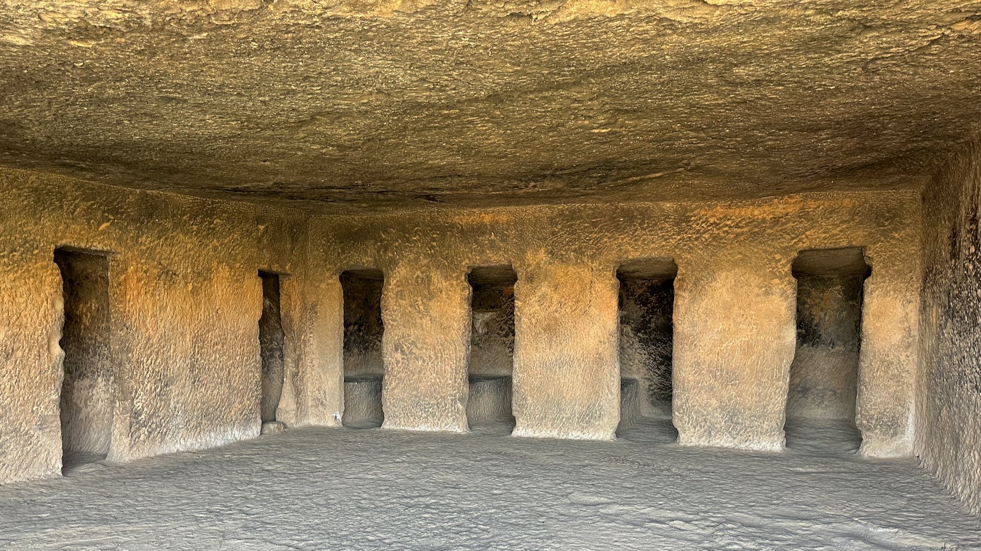
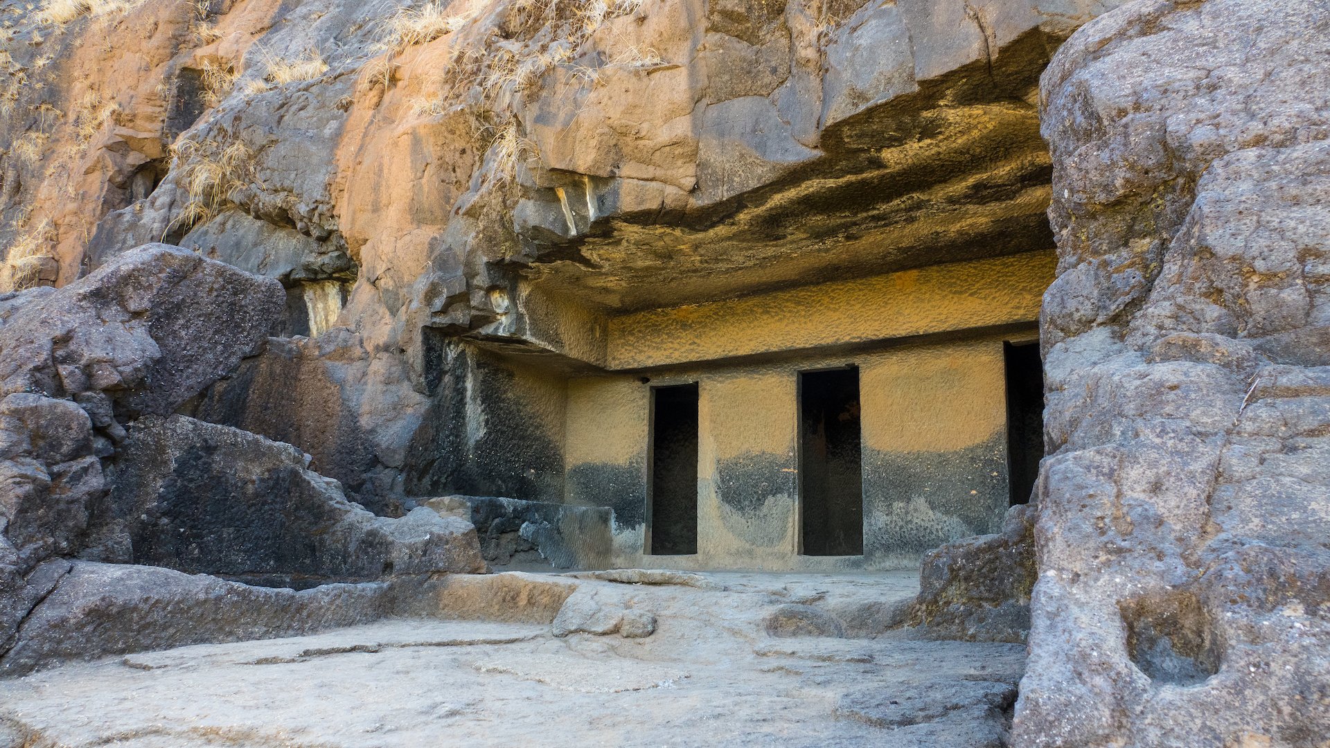
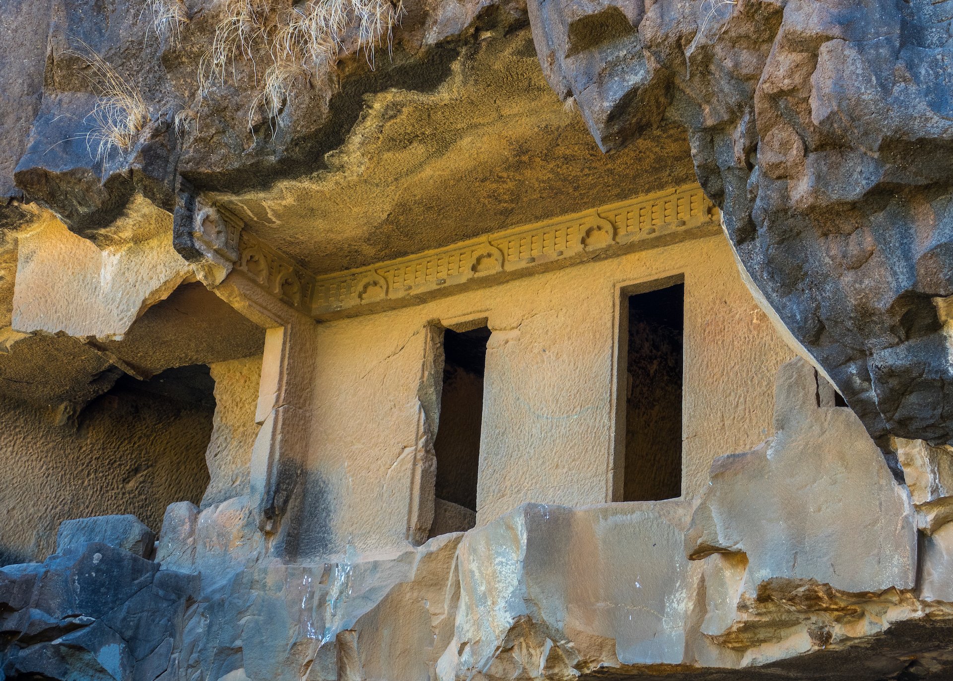
Dotted throughout the complex were these small prayer rooms. Each had a small rock bench carved into them.
We had originally planned to go to the the Karla Caves, a complex of ancient Buddhist Indian rock-cut caves at Karli, about an hour and half drive from Pune. We had an early start, getting picked up at the hotel at 7:30 a.m.
The drive out was interesting as it gave us a chance to see some of the local scenery. Pune is a big city – it sprawls a lot – so it takes a while to get out of town.
Sadly, when we arrived at the caves it was crazy busy. There had a been a festival recently, and so there were still a lot of people that had travelled to see this site. As it has a temple associated with it, it was even more busy. So Kedar called an audible, and we switched destinations.
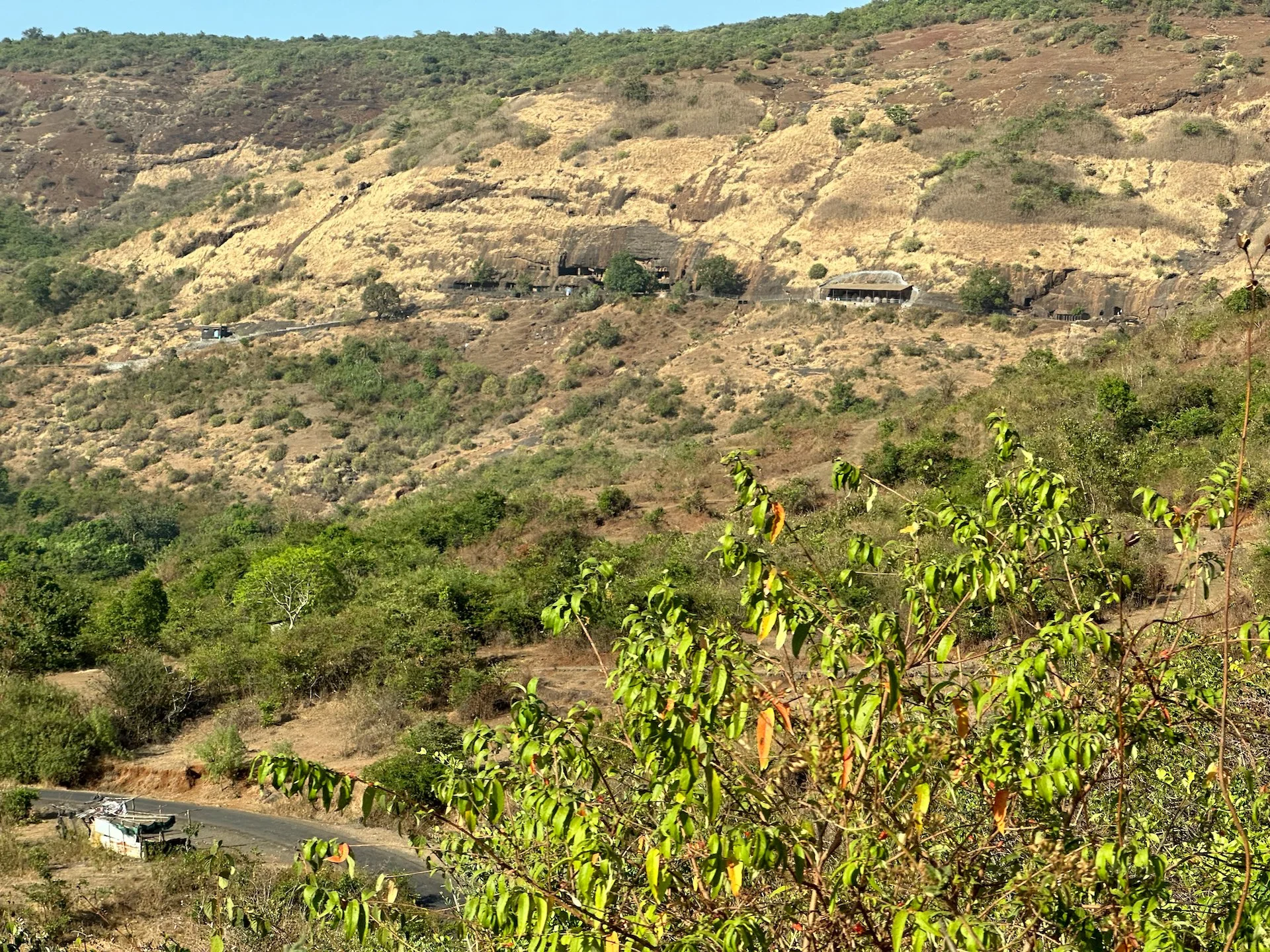
Instead, we headed nearby to the Bhaja Caves. The Bhaja Caves are ancient Buddhist rock-cut caves that date back to the 2nd century BC and are considered one of the oldest Buddhist cave temples in India. To get to the caves you must climb a long set of stairs up into the hills. Thankfully, it was not too hot that day.
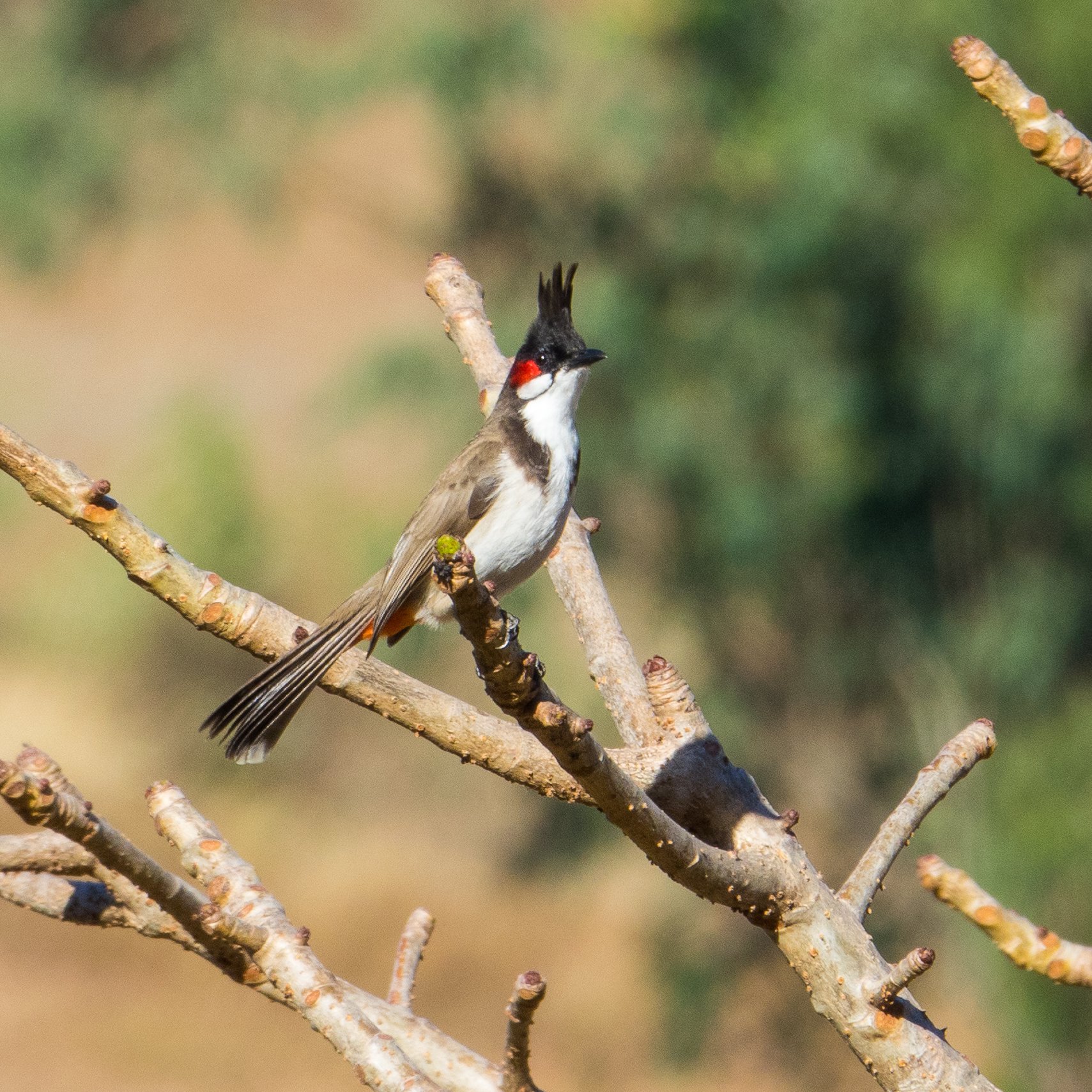
My favorite bulbuls.
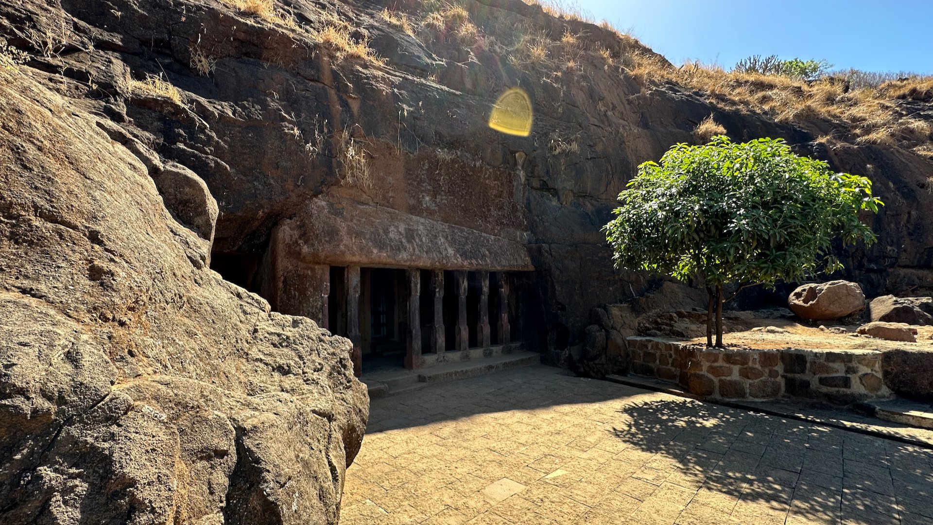
The caves are carved out of a single rock and are located on a hillside, overlooking a lush valley. There are 22 caves in total, which are divided into two groups, with the first group consisting of 14 caves and the second group consisting of eight caves. The caves are known for their exquisite architecture, which reflects the artistic and cultural heritage of ancient India.
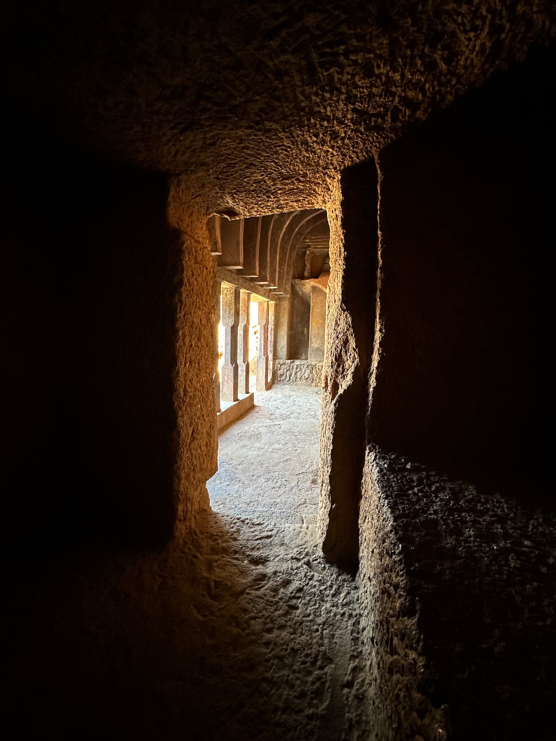
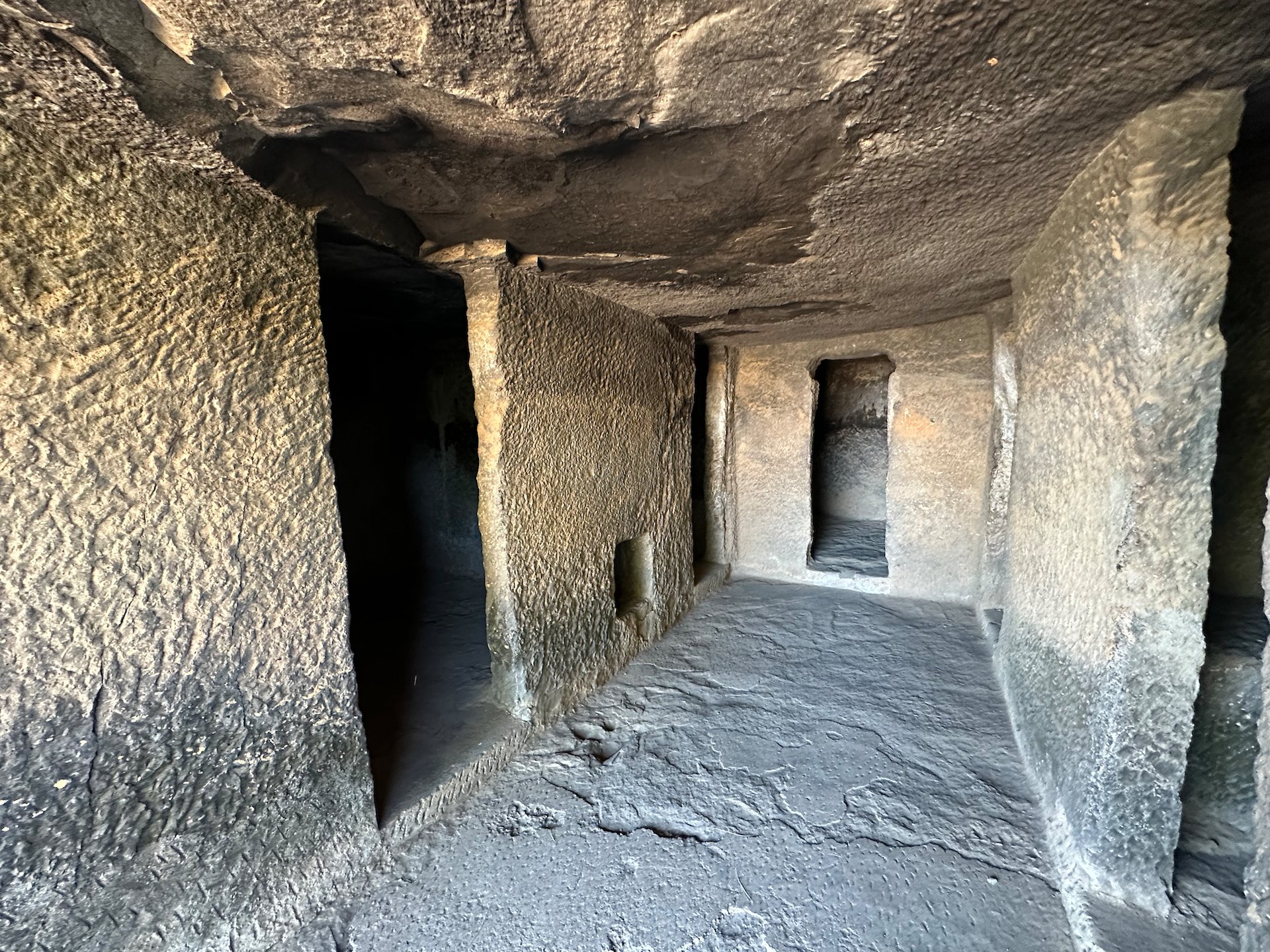
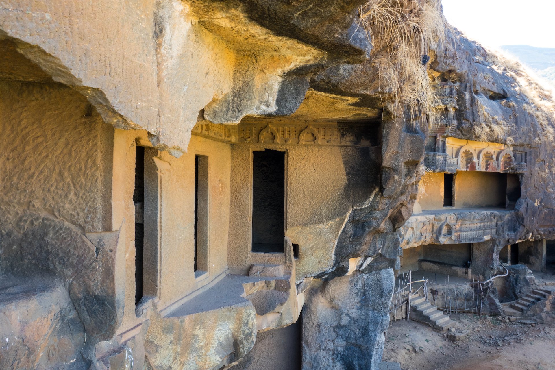
From this angle you can see how much excavation was done to create the separate chambers.
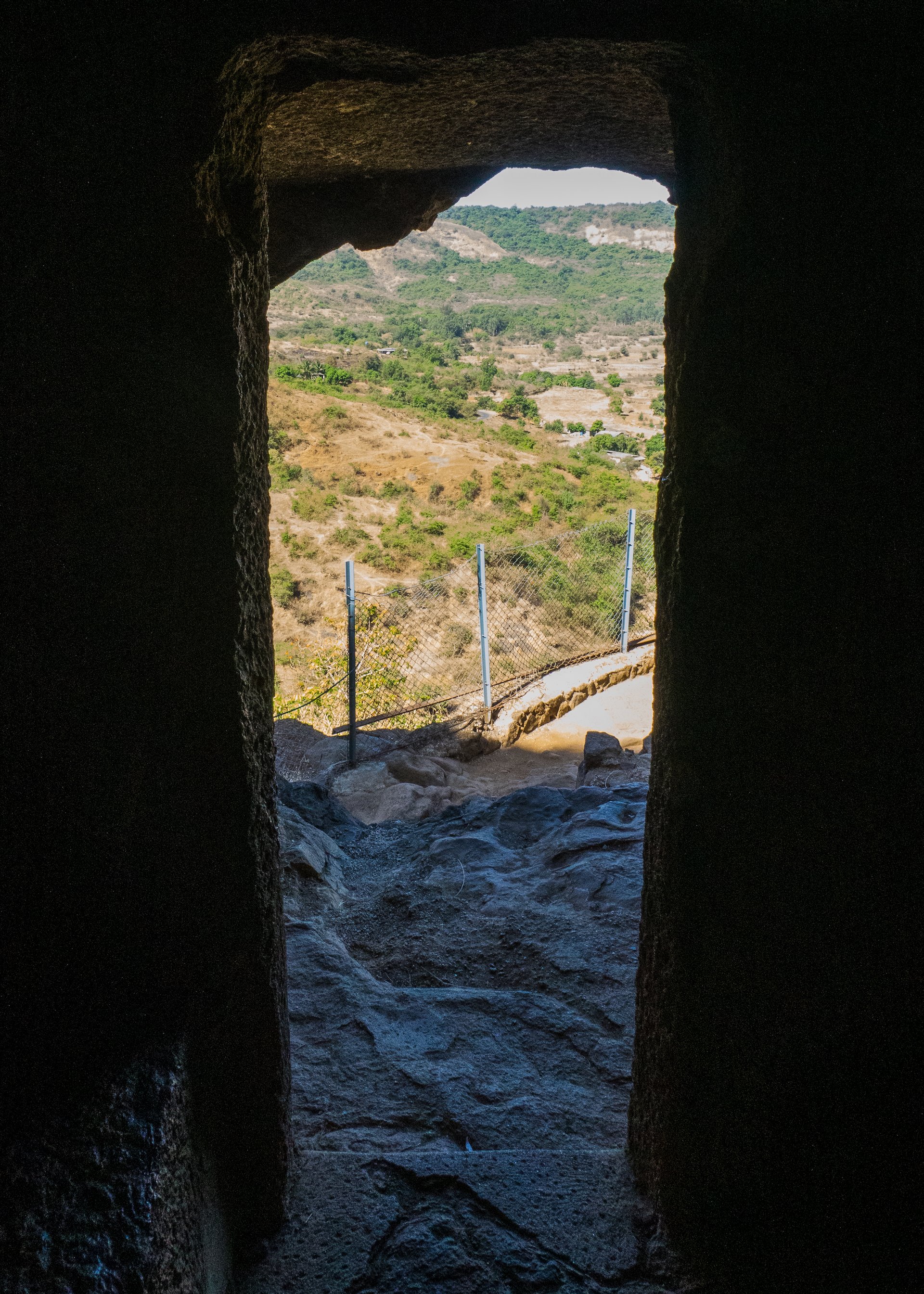
Looking out over the valley from inside one of the caves.
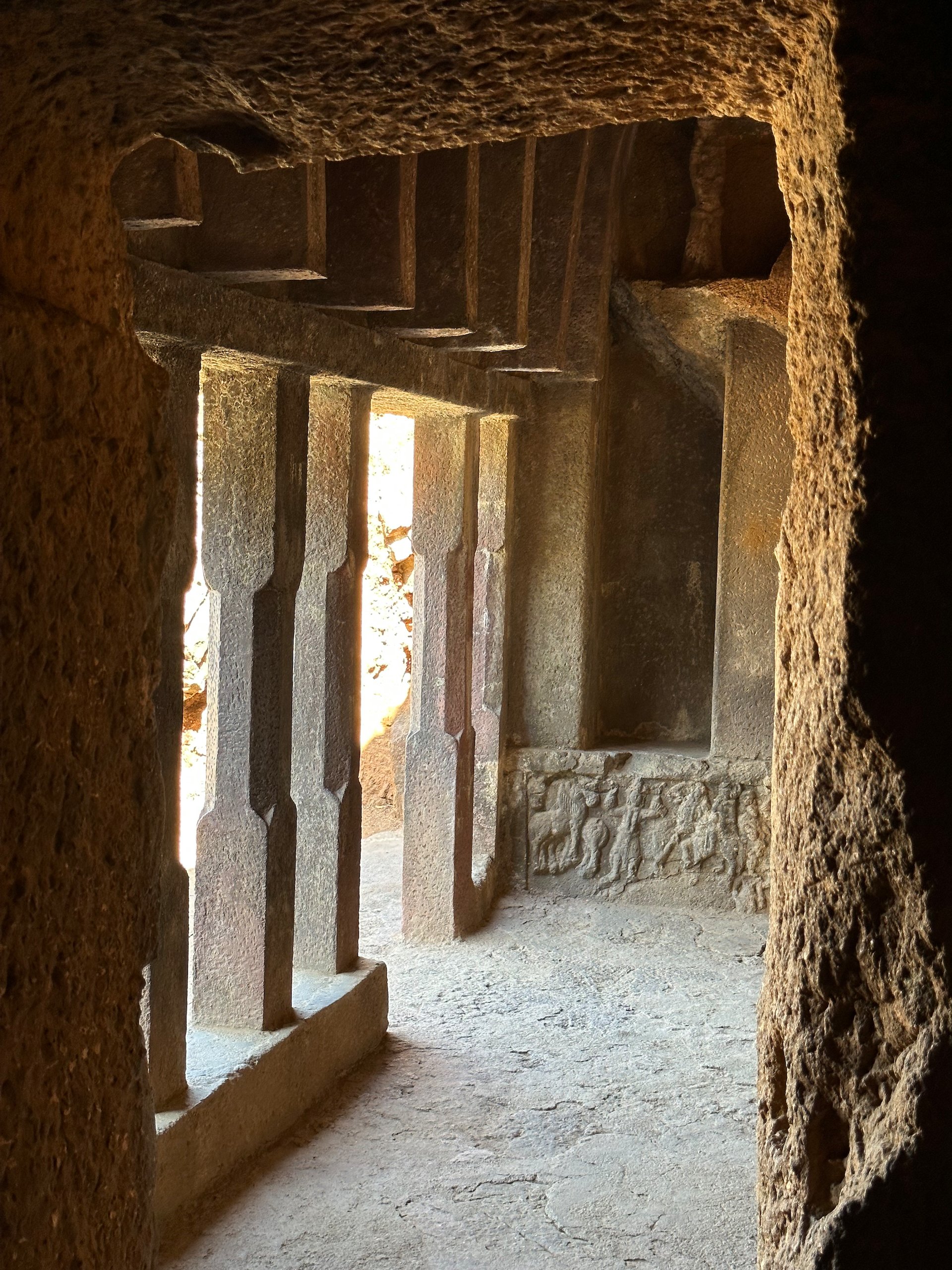
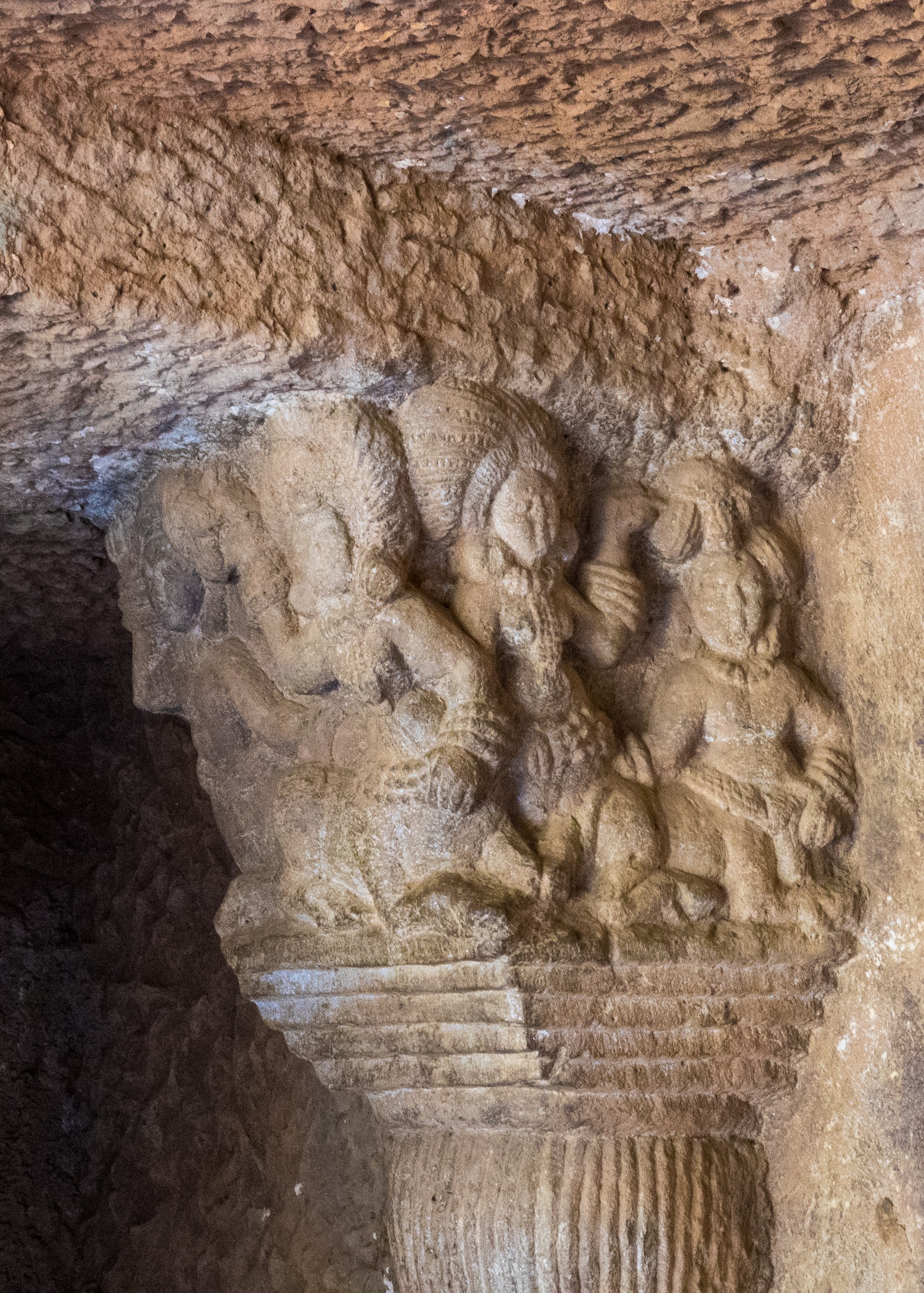
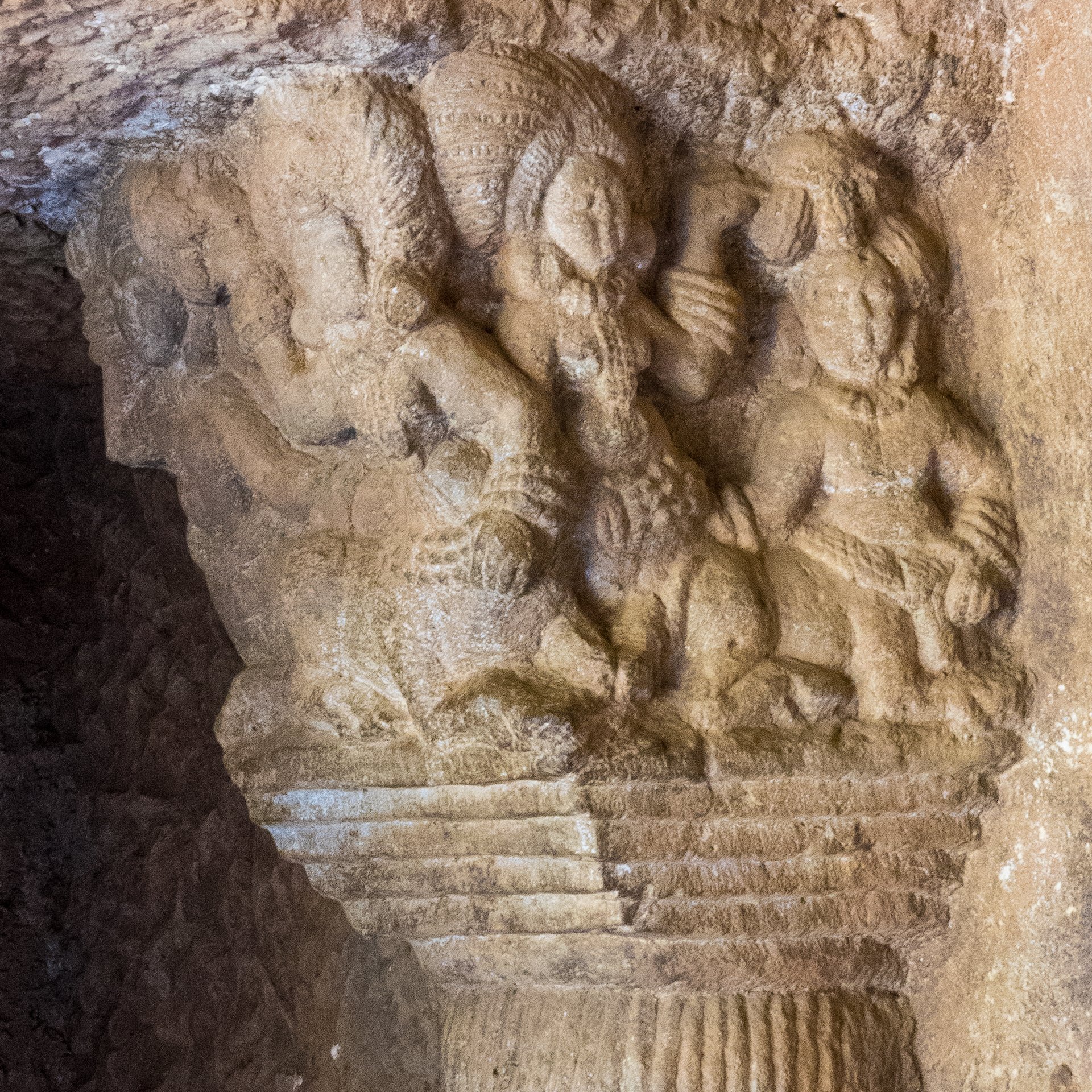
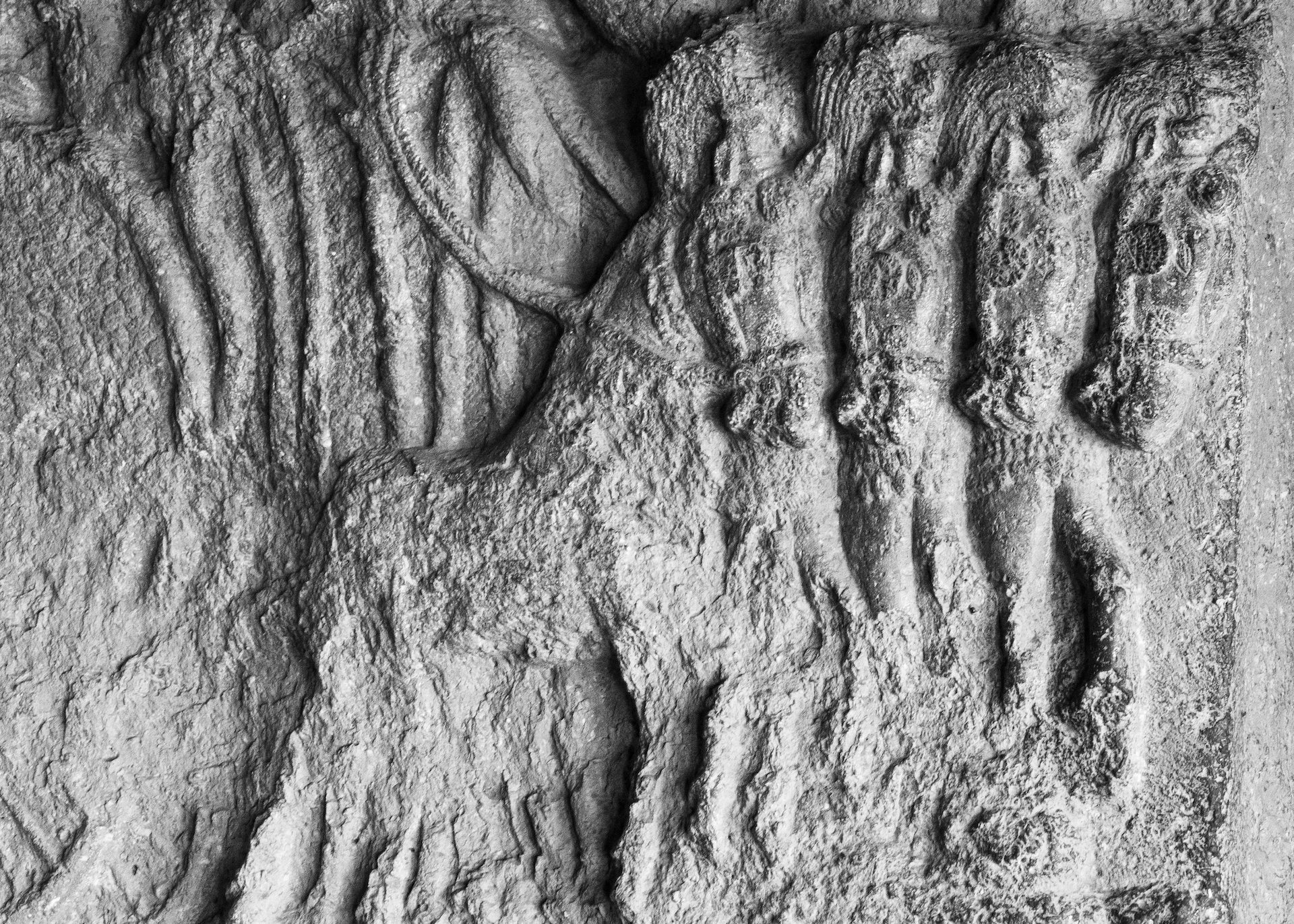
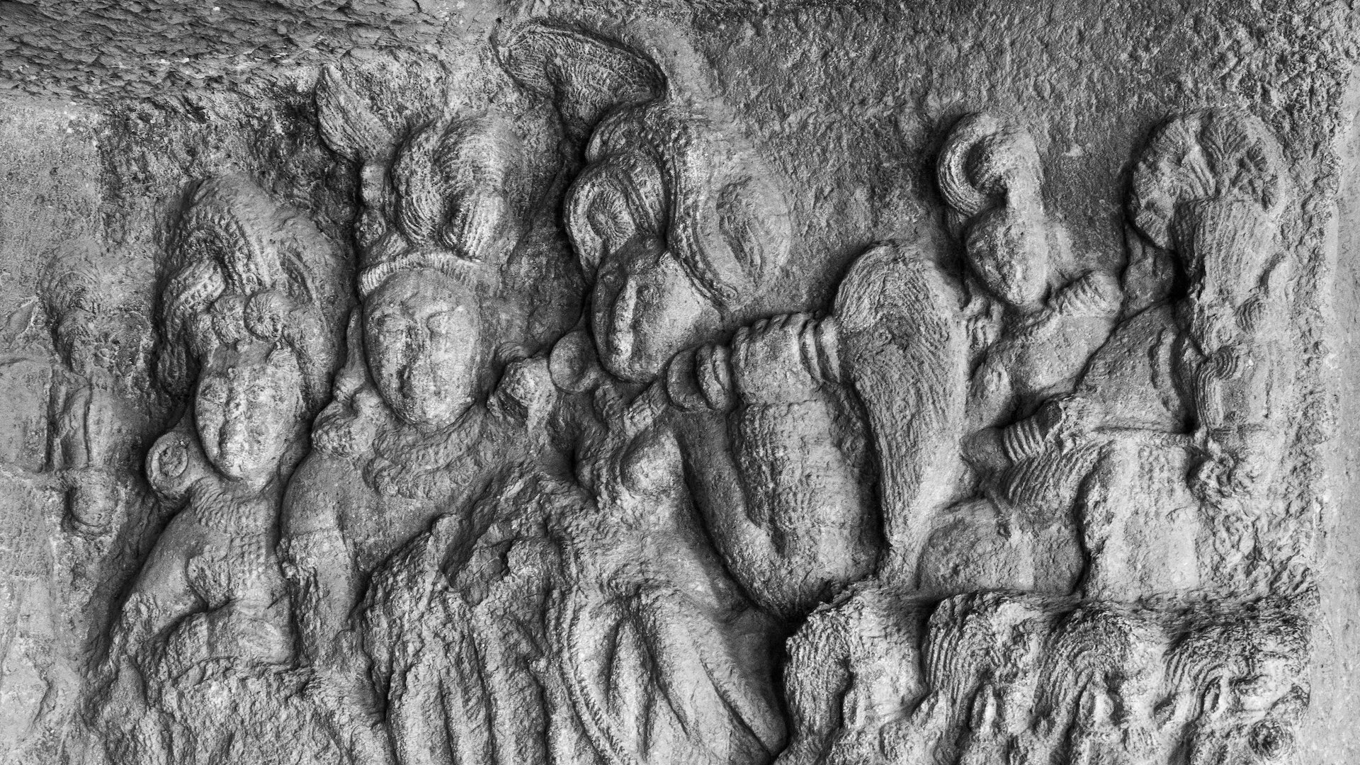
A close up of some of the ornate details on the rock wall face.
The caves are a testament to the Buddhist way of life and are a treasure trove of ancient artifacts and carvings. The caves were used as a place of meditation, prayer, and study by the Buddhist monks who inhabited them. They are adorned with intricate carvings of various Buddhist deities, symbols, and scenes from the life of Buddha.
One of the most prominent features of the Bhaja Caves is the large chaitya hall, which is the largest amongst all the chaitya halls in India. The hall is a grand structure, measuring over 14 meters in height and 20 meters in length. It has a large stupa or dome-shaped structure at the far end, which is believed to contain the remains of a Buddhist saint.
Inside the main cave structure.
At the far end was a large stupa or dome-shaped structure, believed to contain the remains of a Buddhist saint.
A notable part of the monument is a group of 14 stupas, five inside and nine outside an irregular excavation. The stupas are relics of resident monks, who died at Bhaja, and display an inscription with the names of three monks, Ampinika, Dhammagiri and Sanghdina.
The entrance t the back section of the complex. This was my favorite as it had the most detailed and best preserved carvings.
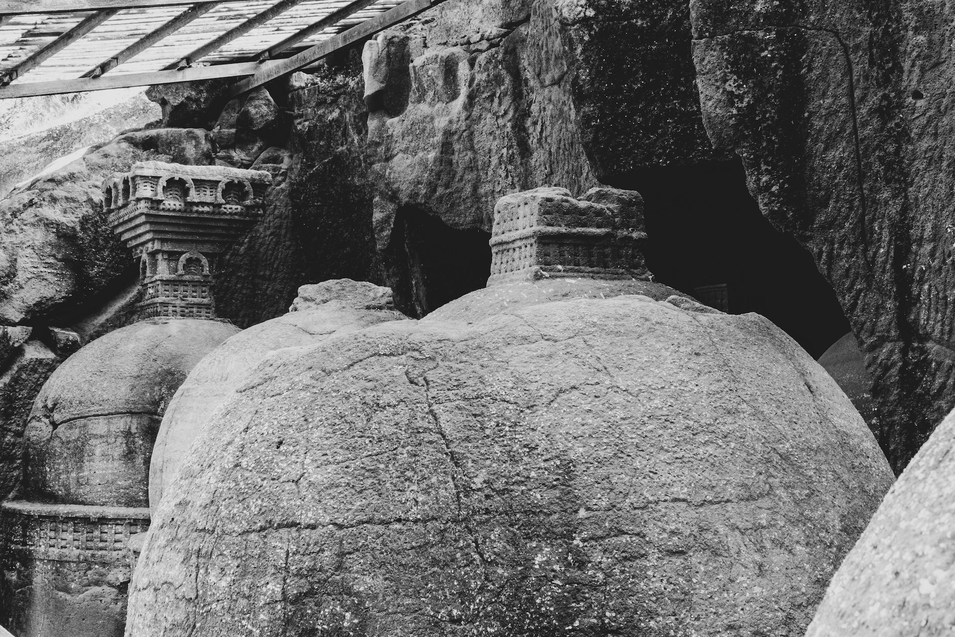
The collection of large stupas.
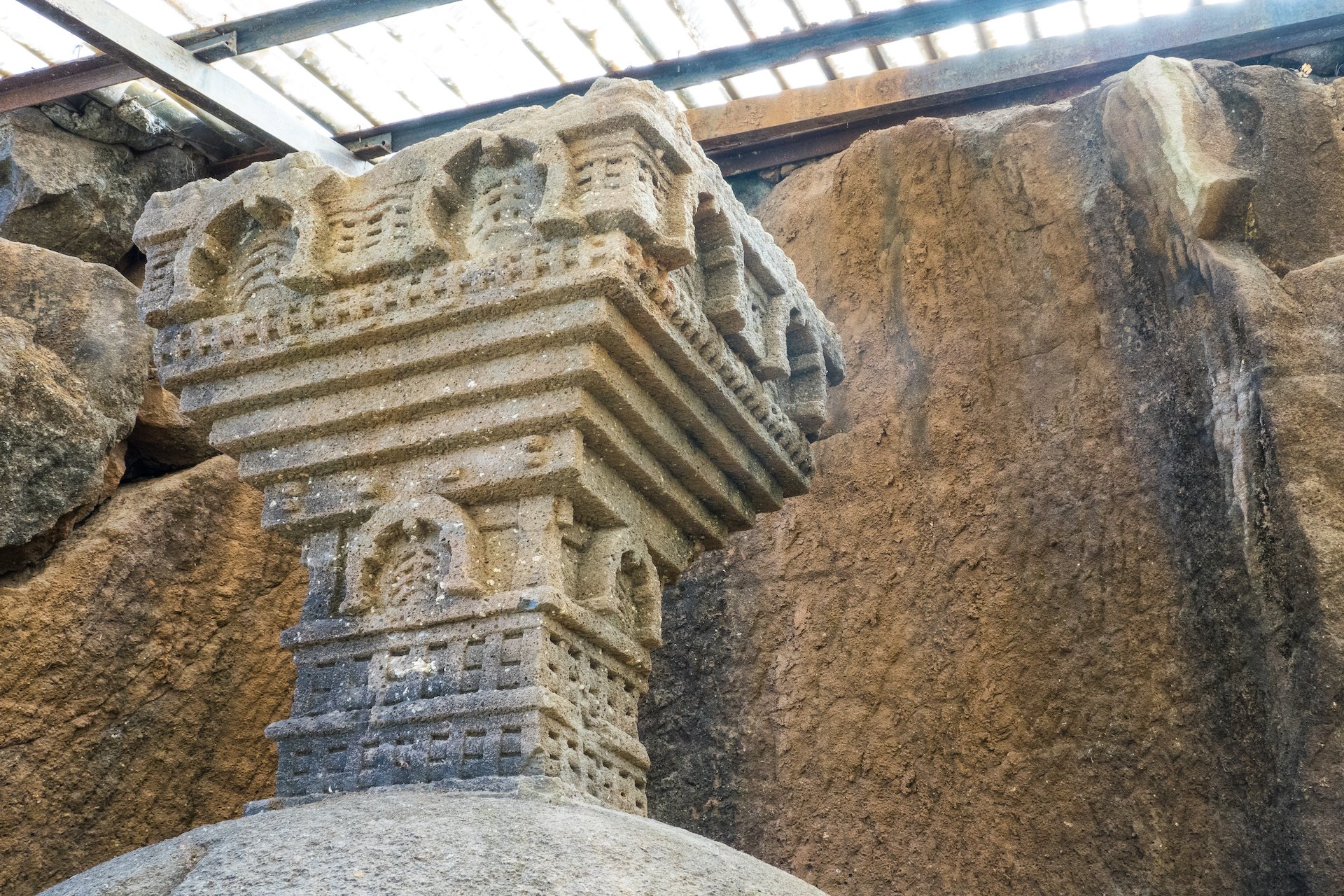
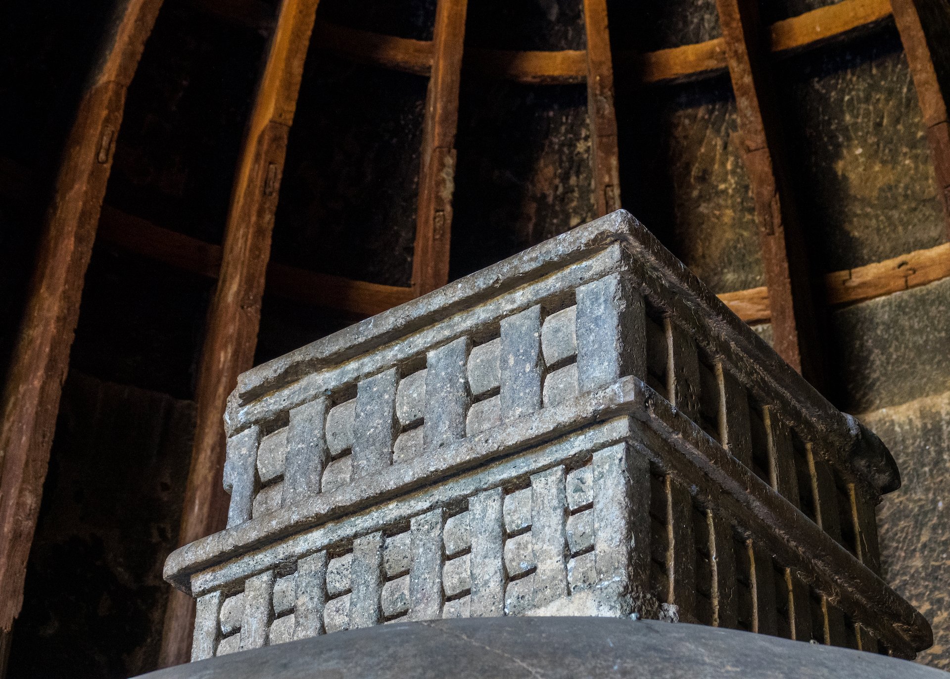
The detail on the carvings on the tops of the containers were impressive.
The detail inside this set of caves was amazing. It made you appreciate what the rest must have looked like at the time they were constructed and being used.
We spent a few hours exploring the cave site. It was very cool, and not very busy – we pretty much had the place to ourselves. I took a lot of photos as you can see, so spend some time flipping through the collection below.
The map of our time exploring the Bhaja Cave site.
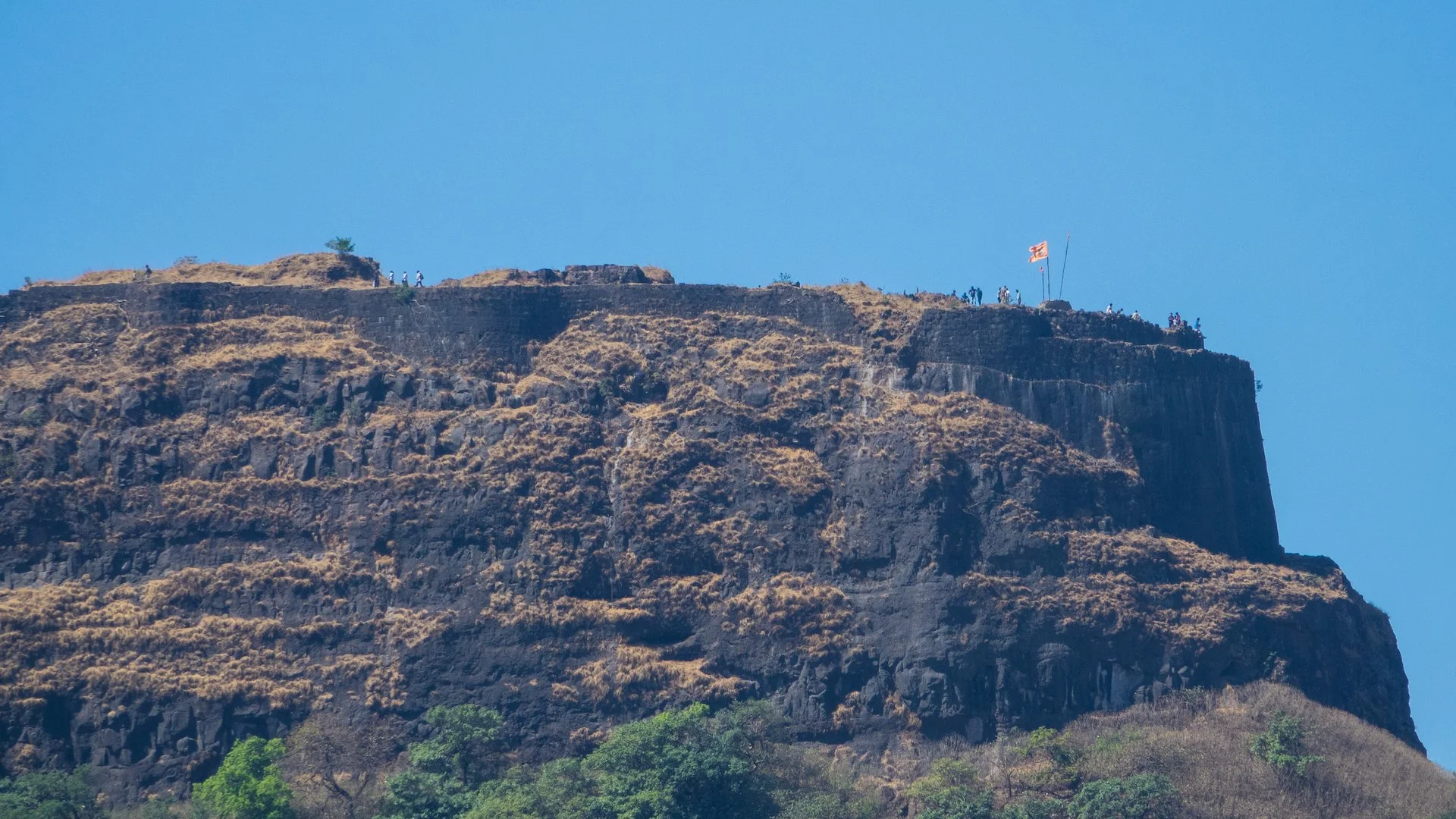
Looking across the valley to the top of one of the local hill forts - and our stop for the afternoon.
A more close up view of the fort on the cliff.
Once we were ready to head out, Kedar took us to the Anglo Indian Café, about a half hour’s drive away. We had a nice lunch in a very relaxed atmosphere. The drive over and back was interesting in that it went through some very different countryside. Kedar told us that this section was like a vacation center for Mumbai and Pune, as it was at a bit higher elevation and so stayed a bit cooler.
Lohagad
A panoramic view form the top. Have a read below on our journey up.
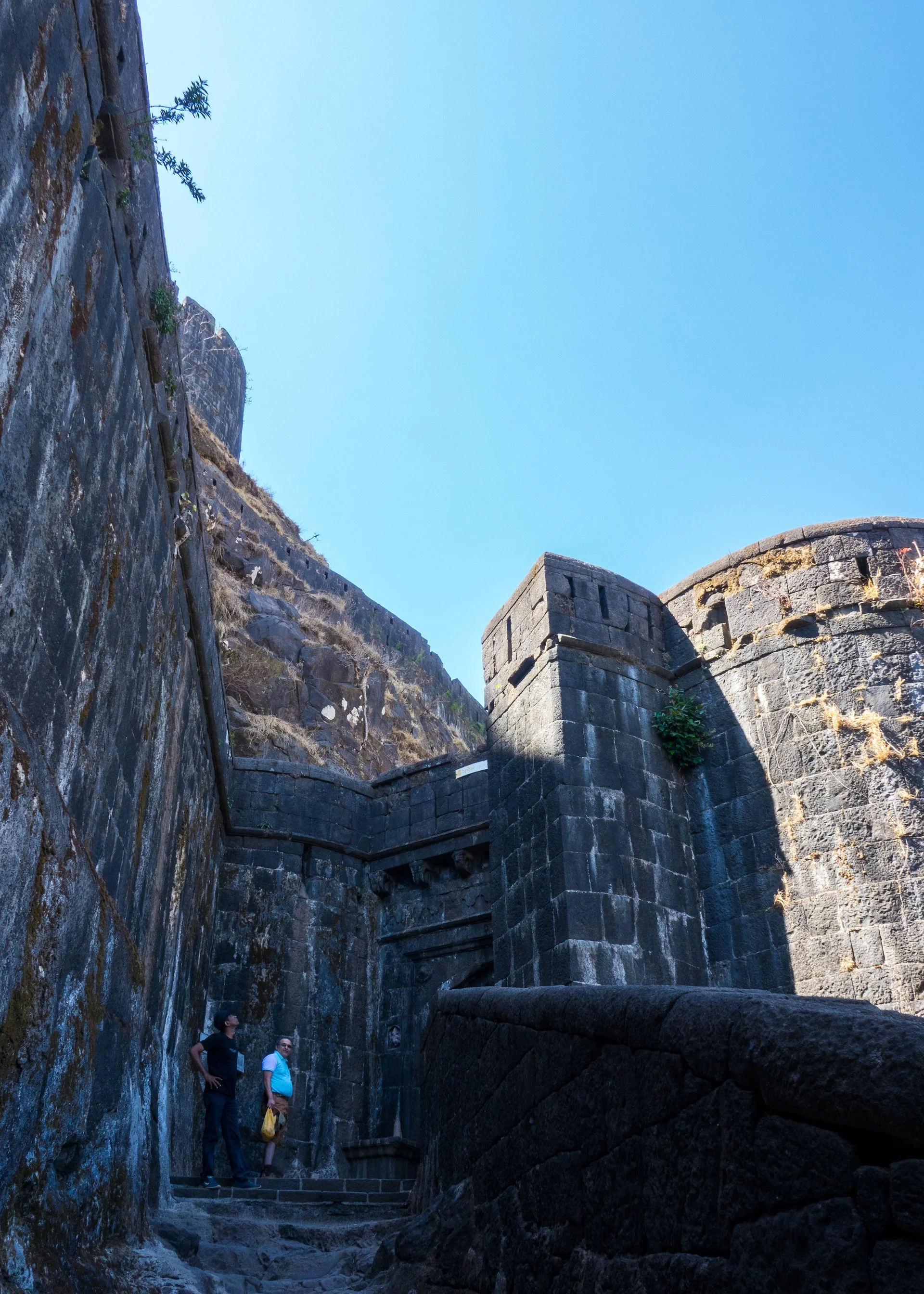
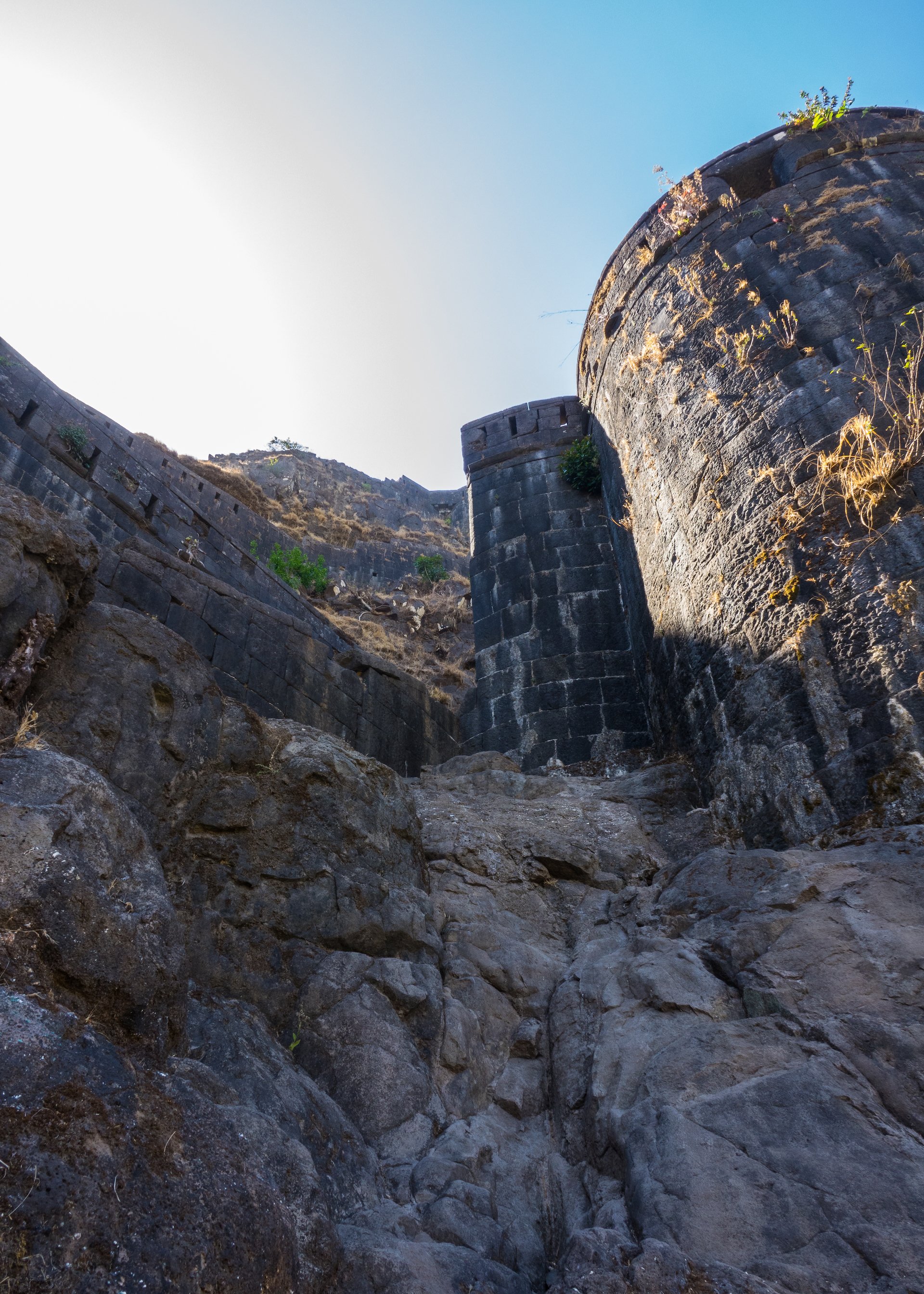
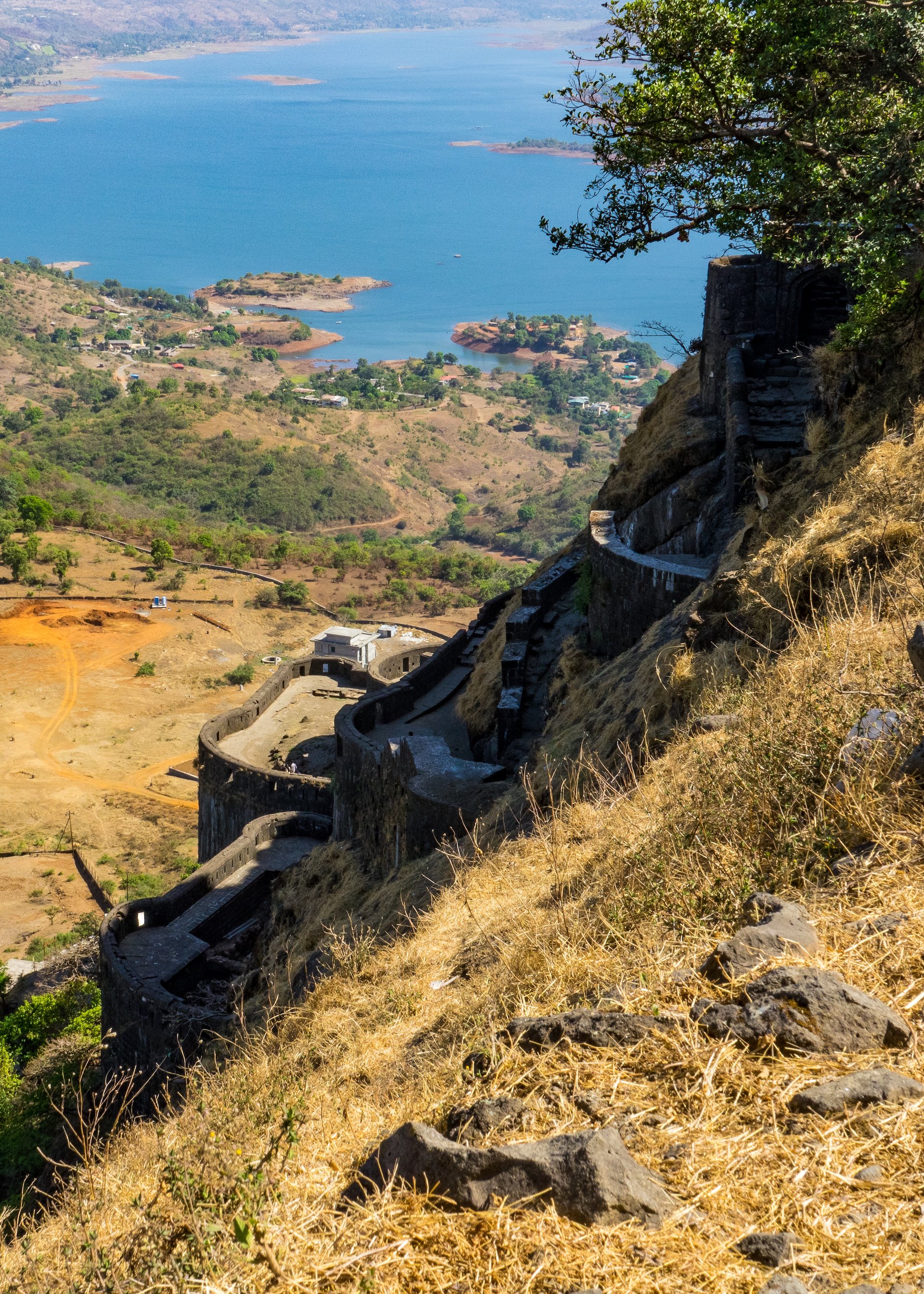
The fort, built into the hillside was massive and looked impregnable!
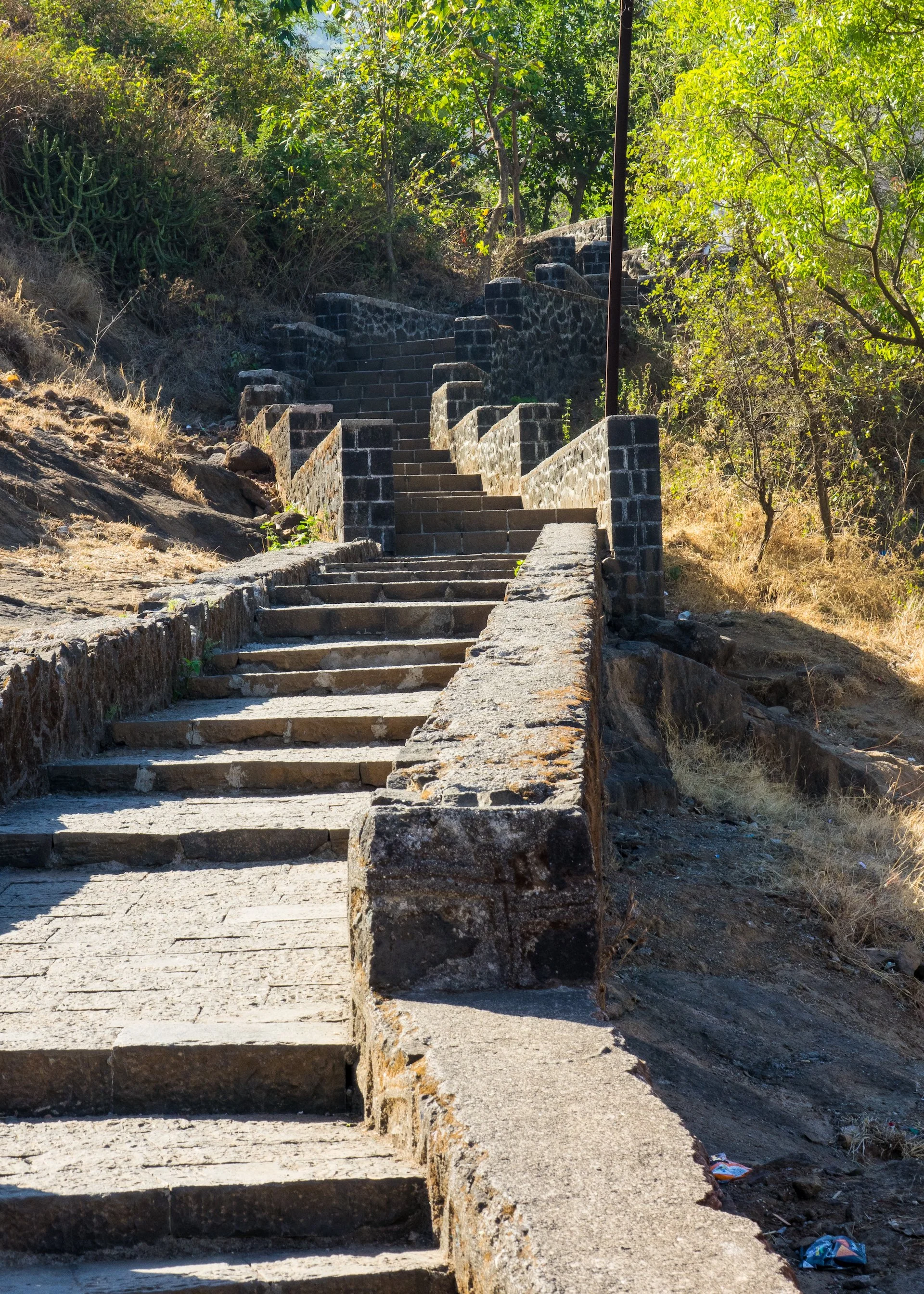
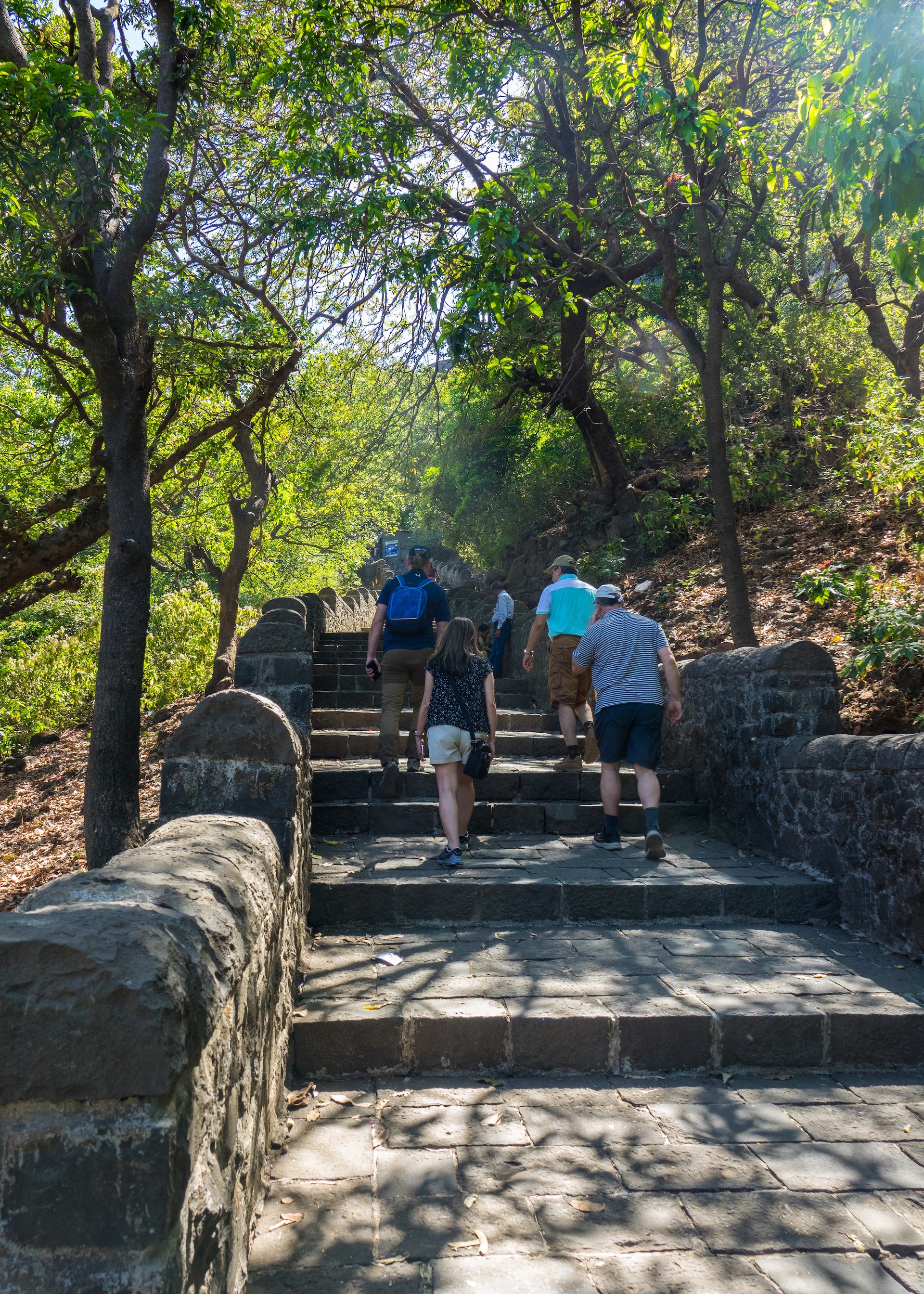
The steps heading up to the fort.
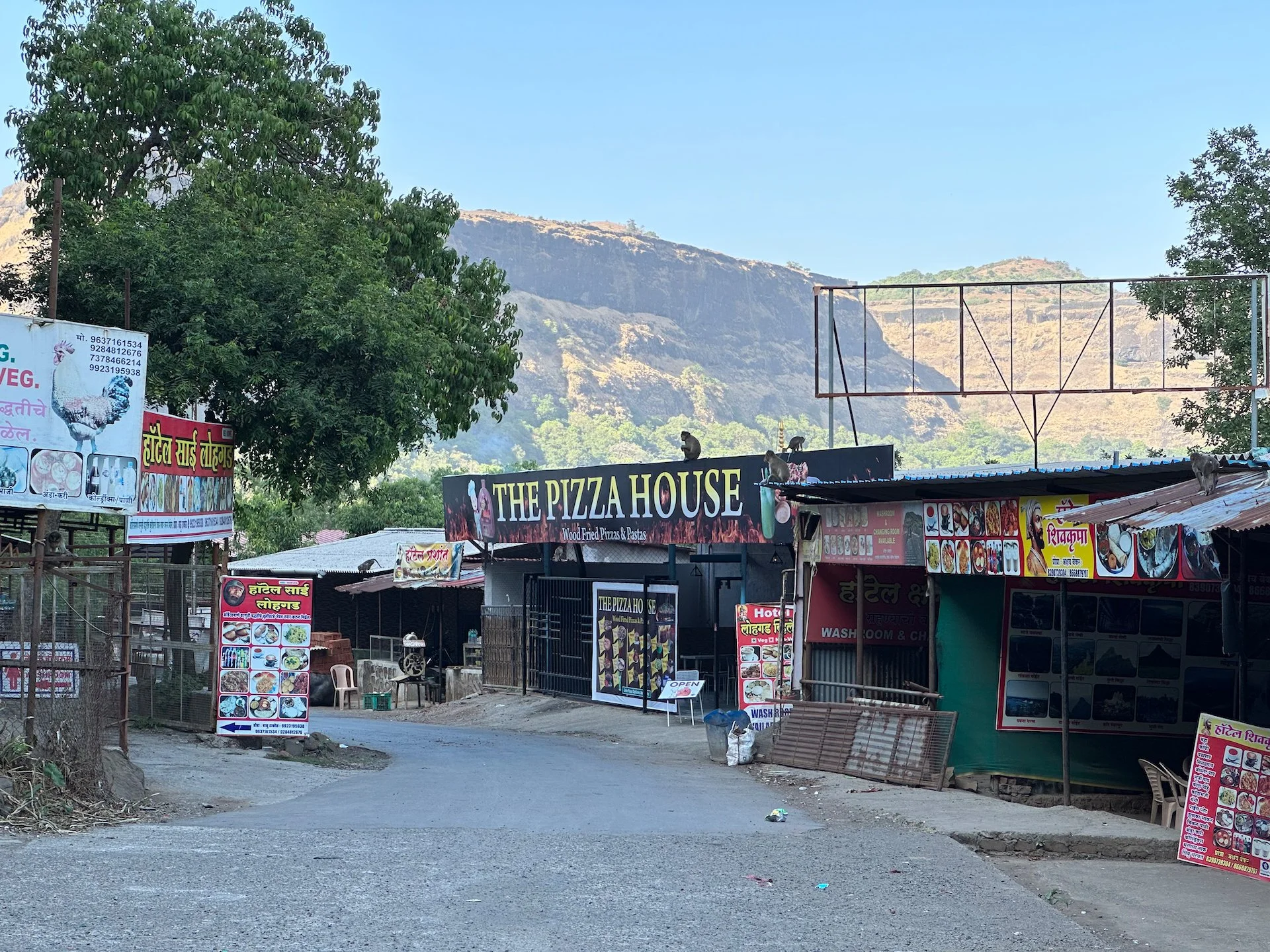
After lunch we drove back the way we had come to go to the Lohagad fort, sitting at the top of the mountain that overlooks the Bhaja Caves. The road up was crazy – a narrow, single lane road that switched back up the mountain side. I was really glad I was not driving, as it was super steep and tight. At one point there was a mini bus coming the other way, and I had no idea how it would get by the small train of cars we had going up.
After an eventful drive up, we made it to the base of the fort for another fairly long hike up a set of stone stairs.
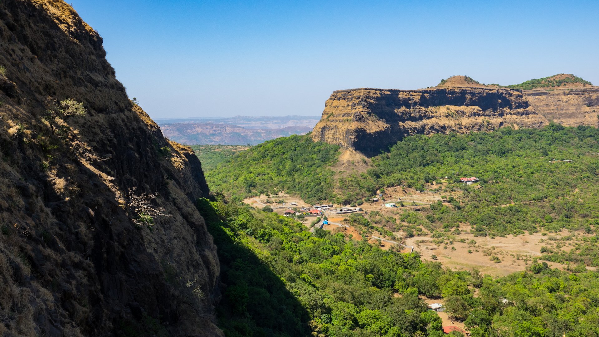
Lohagad Fort is an ancient hill fort located near the city of Pune in Maharashtra, India. It is situated at an elevation of 1,033 meters above sea level and offers a magnificent panoramic view of the surrounding landscape.
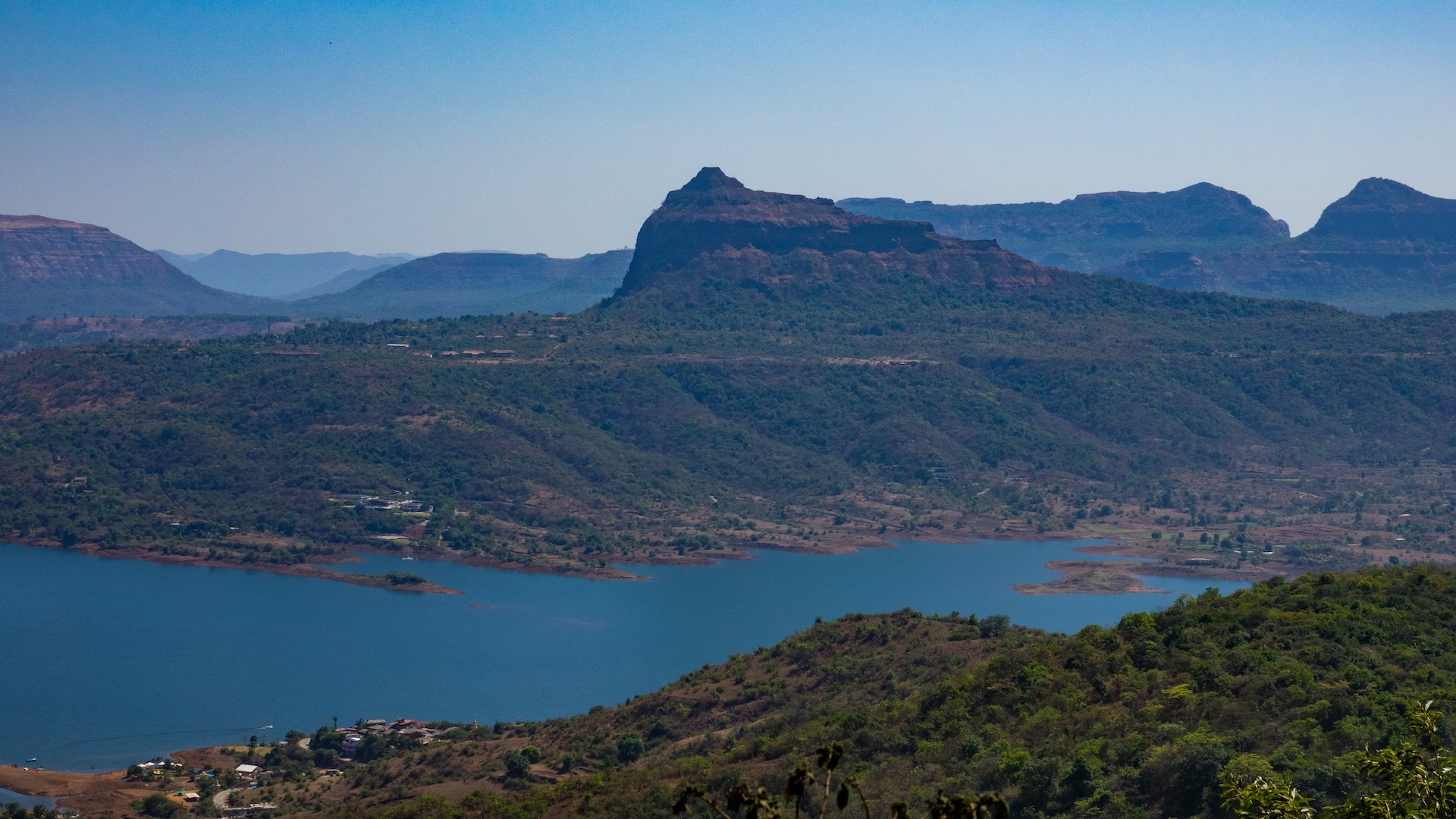
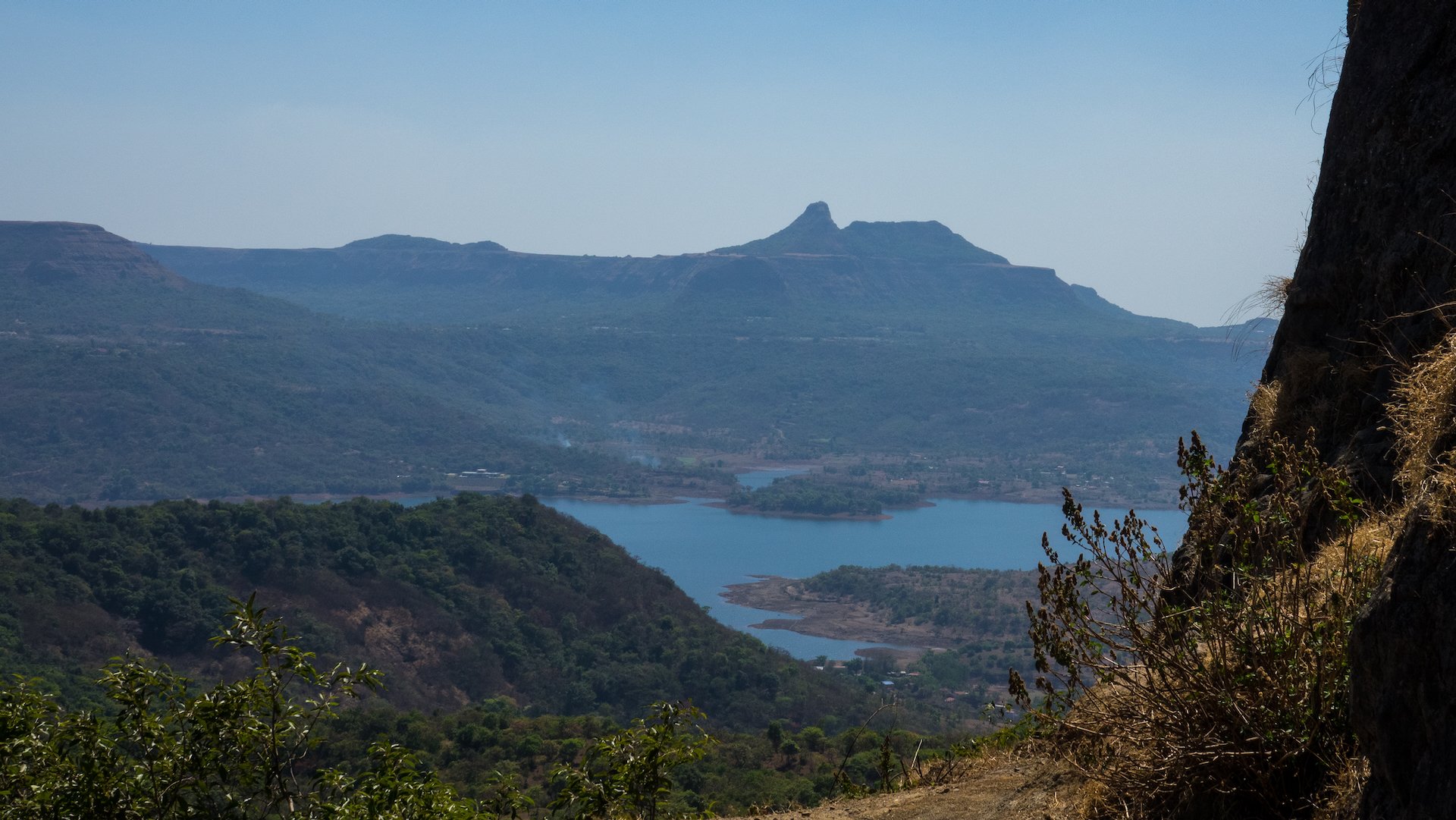
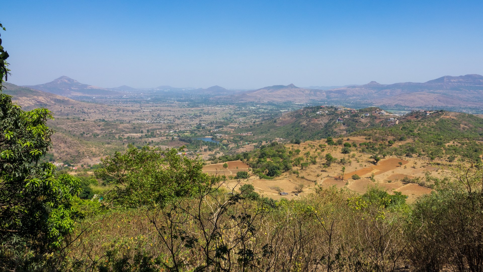
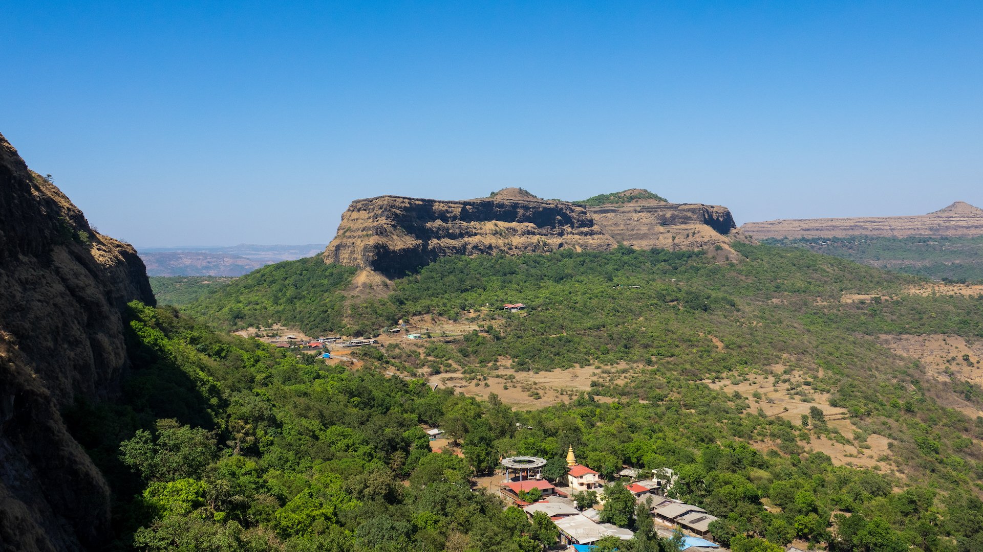
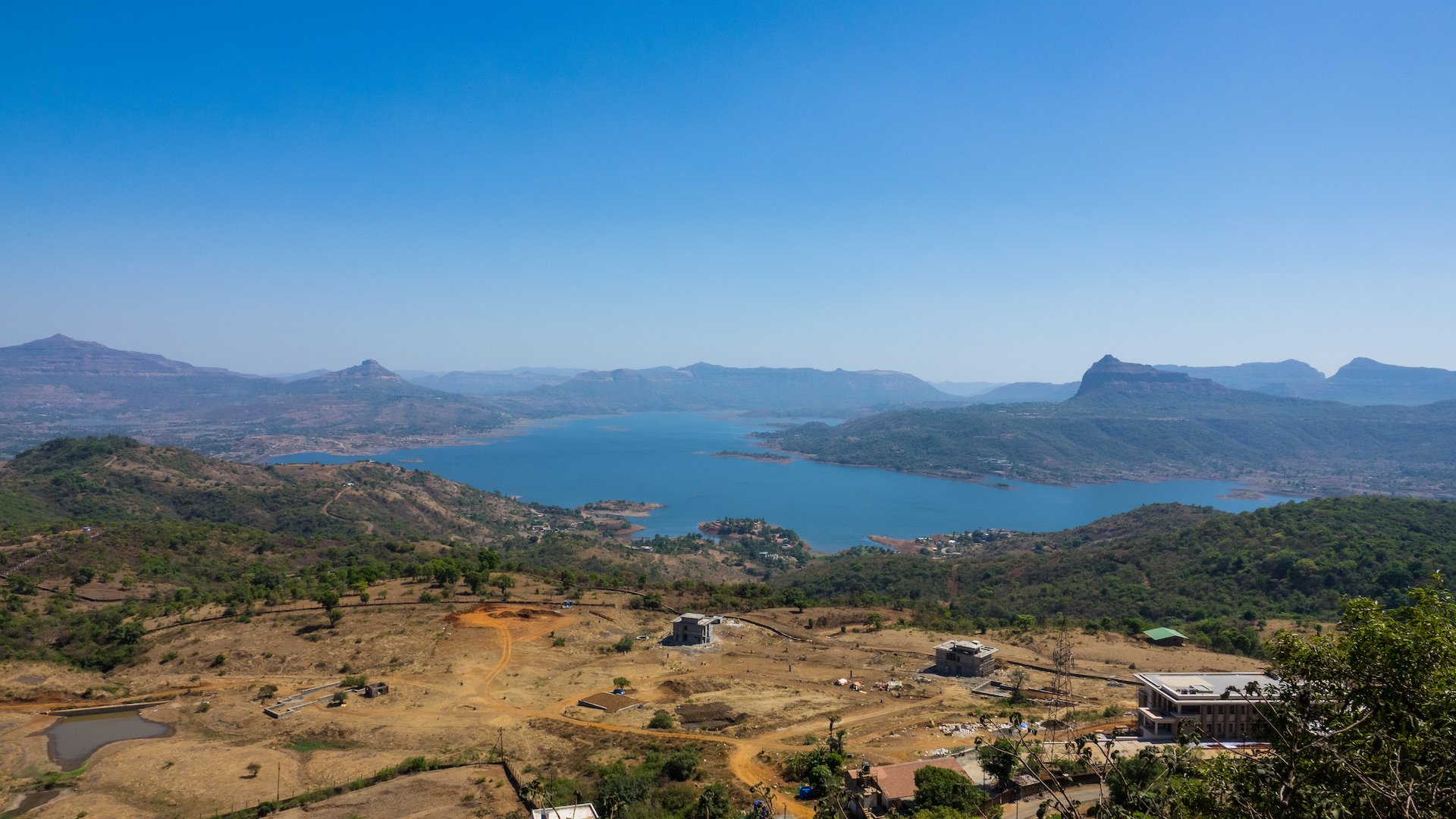
The view out over the surrounding landscapes were spectacular. There was a lot more water than I expected.
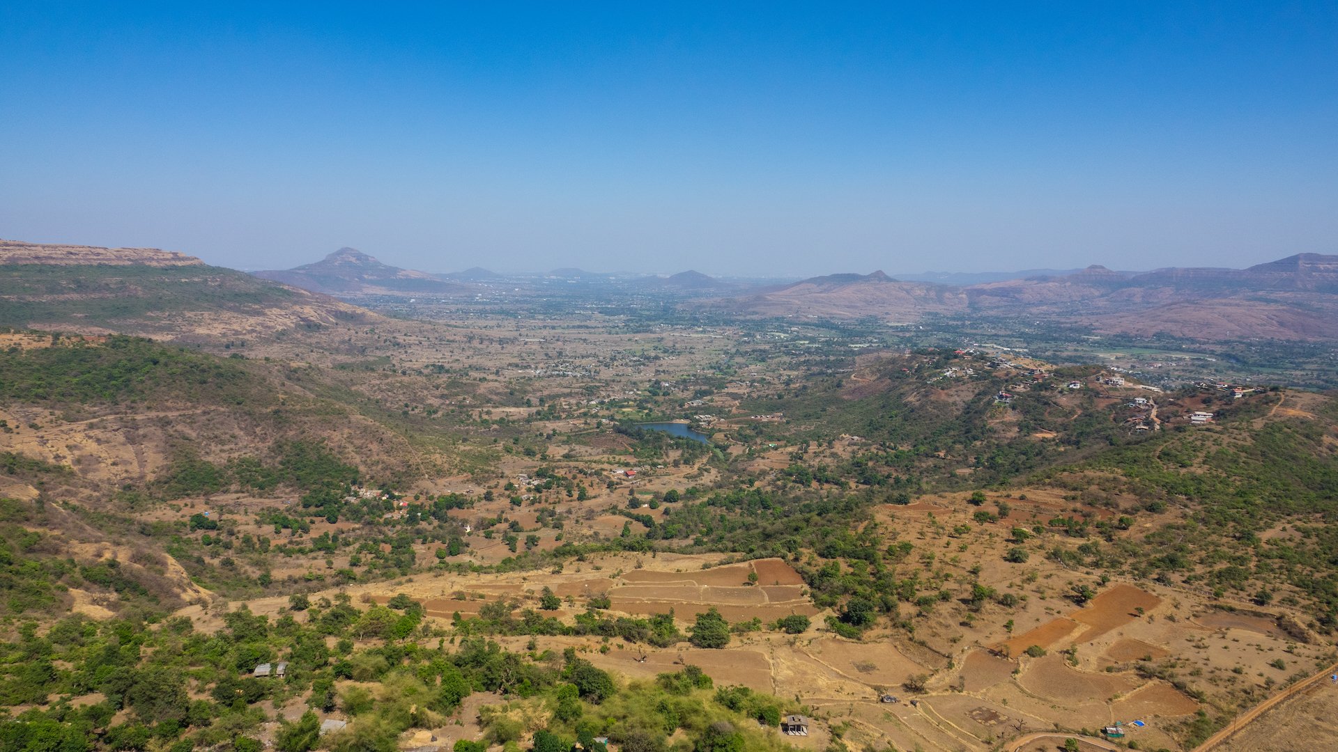
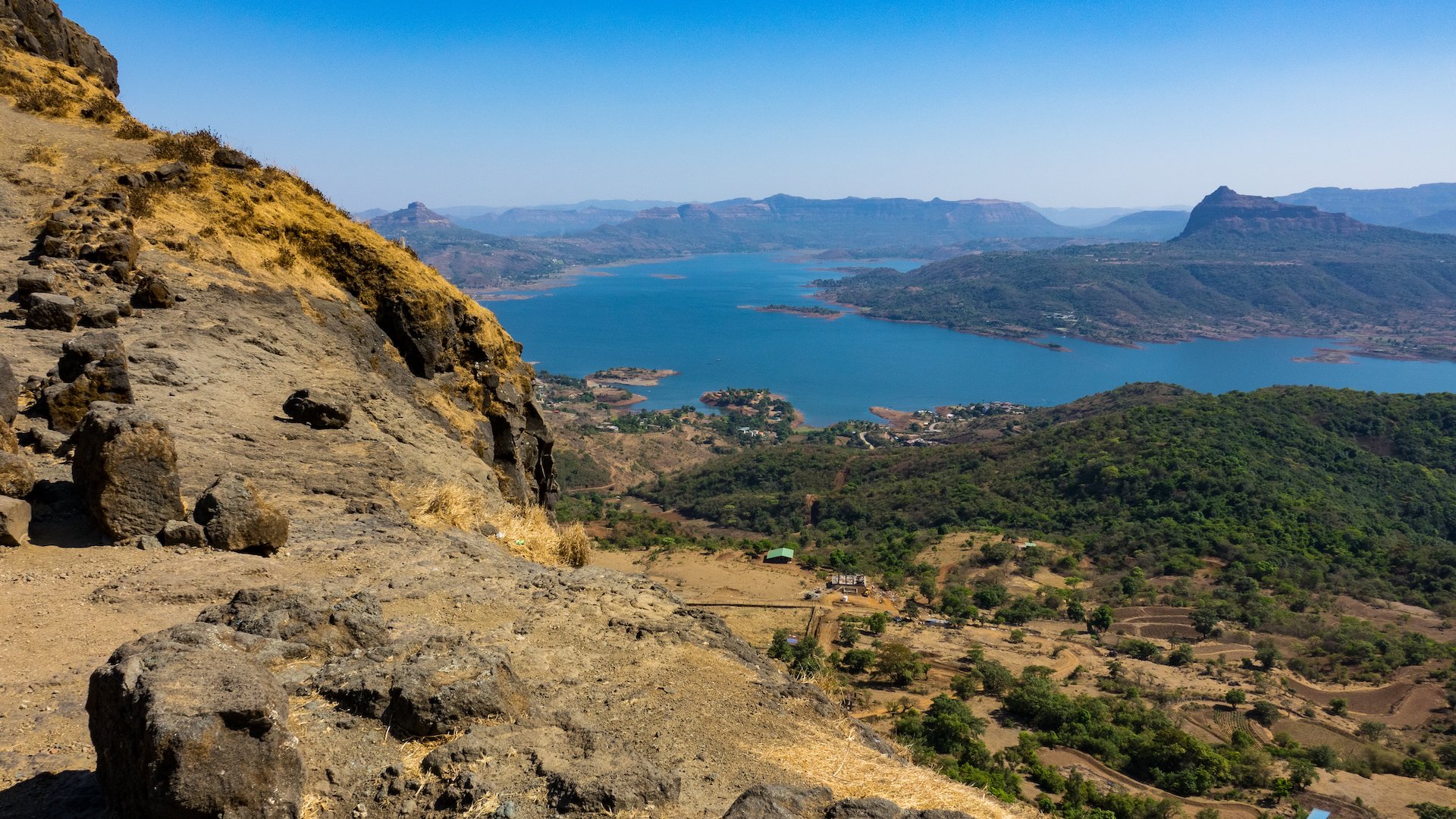
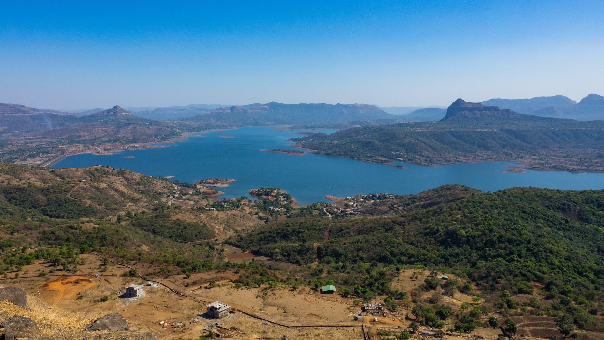
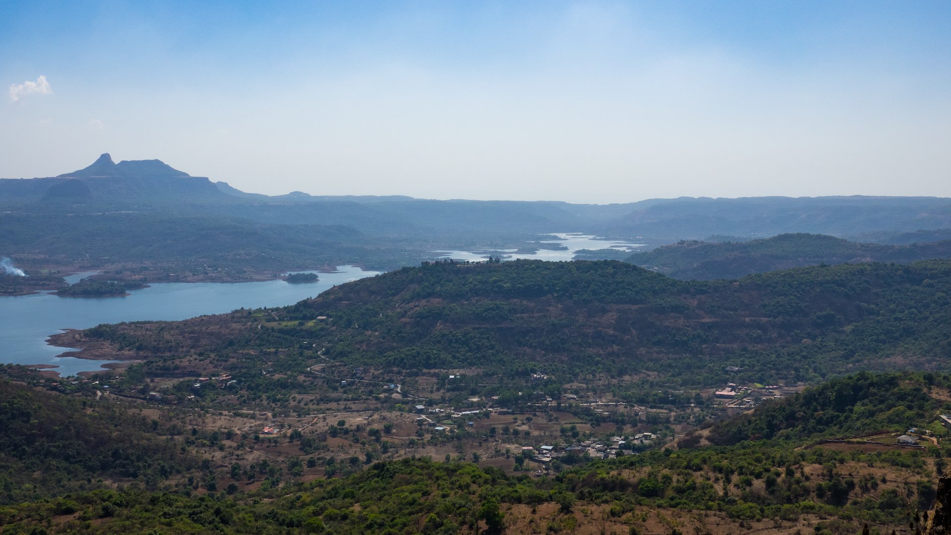
The Lohagad Fort is believed to have been built during the 18th century by the Maratha ruler, Chhatrapati Shivaji. The fort played a significant role in several battles and was considered an important military outpost during the reign of the Maratha Empire. The fort was later captured by the British in the 19th century and was used as a strategic stronghold during their rule.
The fort has a rich historical significance and is a popular tourist attraction. We timed our visit well as we went up in the mid-afternoon. As we were coming down later in the day, the volume of people heading up was significantly higher.
As we climbed towards the top of the fort it became very clear that for the time it was built, the fort must have been impossible to take by direct action. It would have been suicide. Which leads you to the thought that only way to take it would be to siege the location. They had that covered too. On the way up we passed a water store - caverns in the rock that naturally store water. Once to the top we also found a series of man-made storage reservoirs.
One of the water storage caverns. The water looked very clear and pure and we even saw a couple of people filling water bottles from it.
On the plateau at the top, there were a series of additional water storage caches. They were well-provisioned.
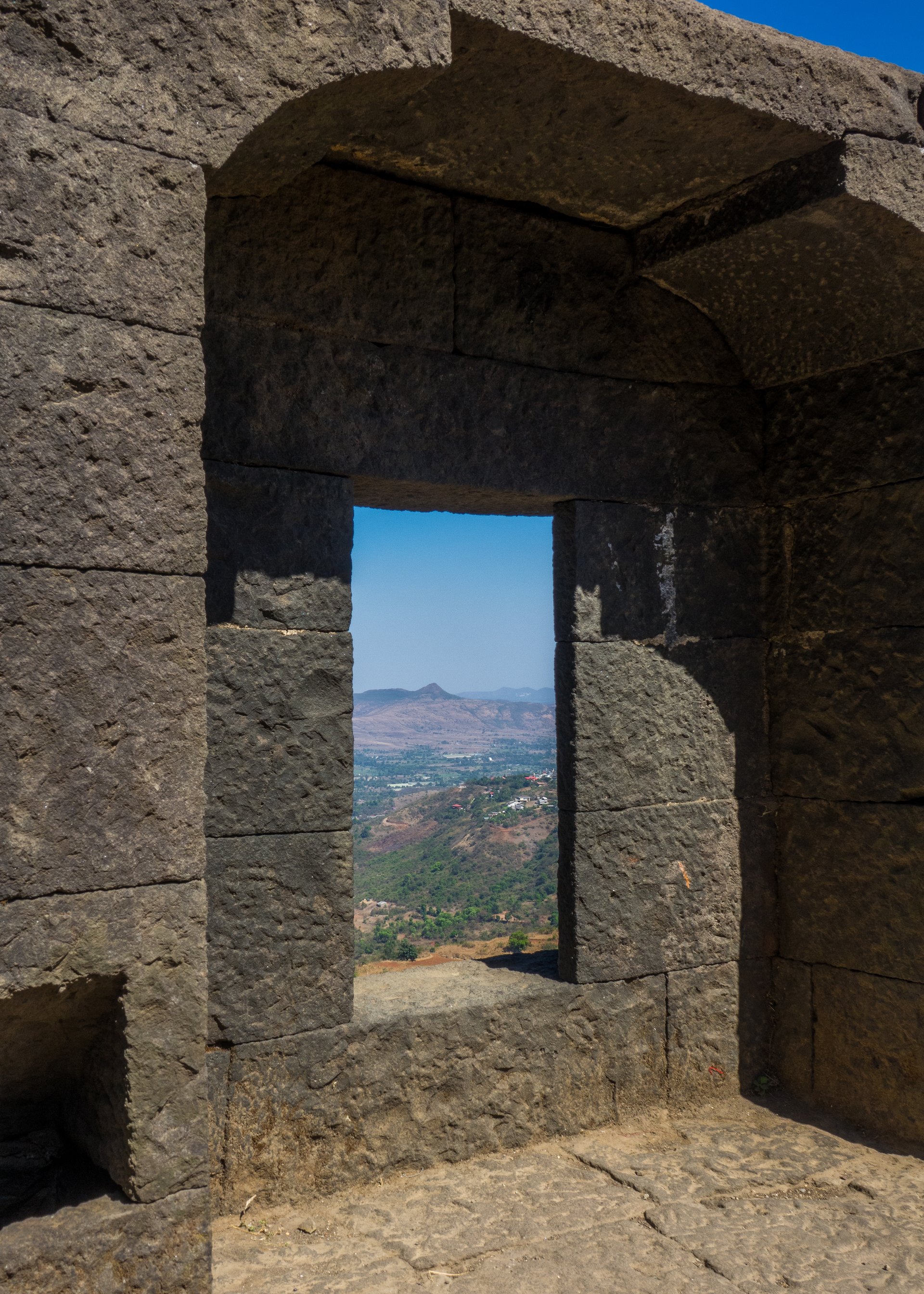
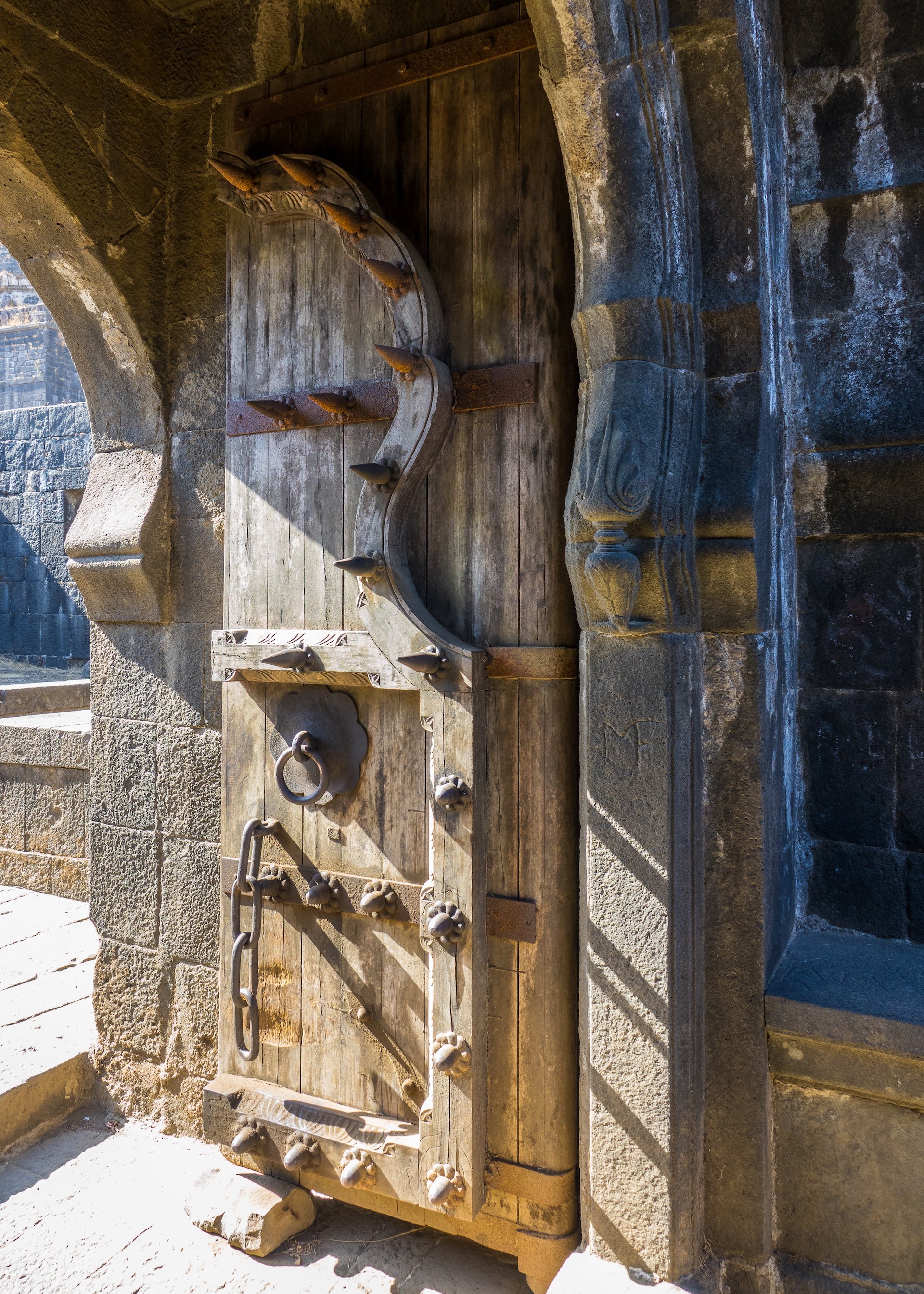
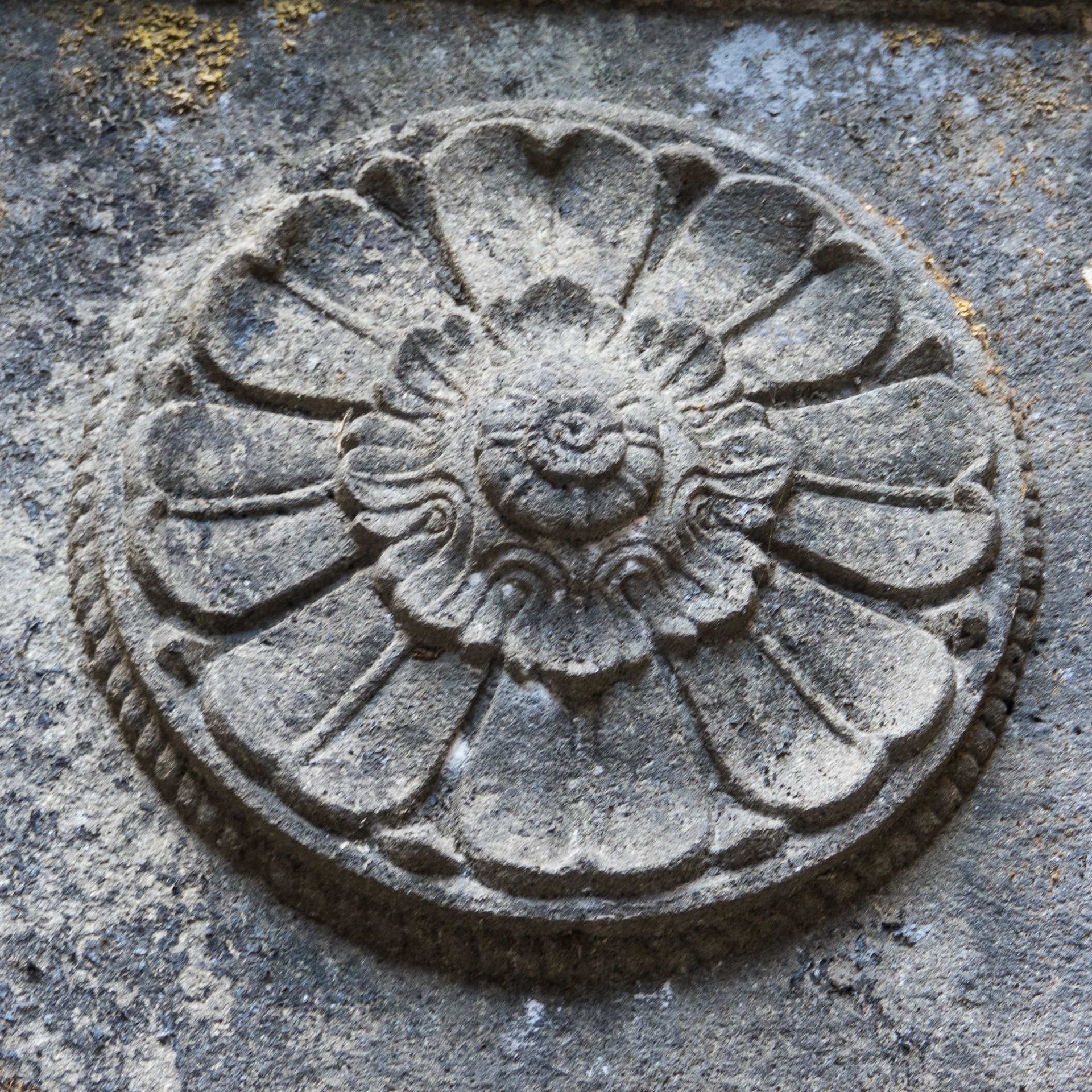
The fort has two major gates, the Ganesh Darwaja and the Narayan Darwaja, which are decorated with intricate carvings and provide a glimpse into the architectural prowess of the Maratha empire. The fort also has several watchtowers, which were used to keep a lookout for approaching enemies.
An example of one of the gates.
Multiple gates in succession.
In some places the path was quite rough.
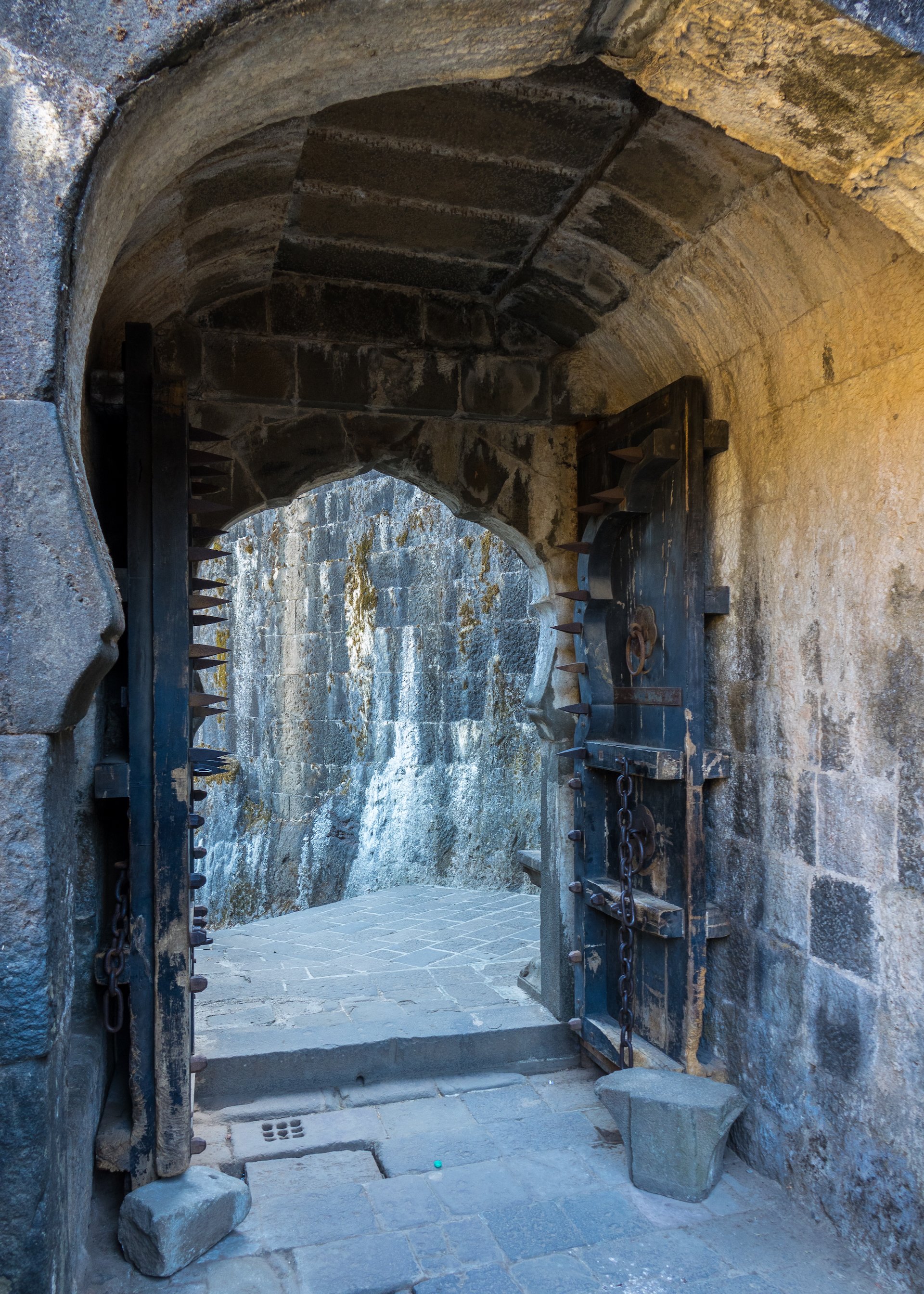
Closer to the top some of the gates were fortified with strong doors.
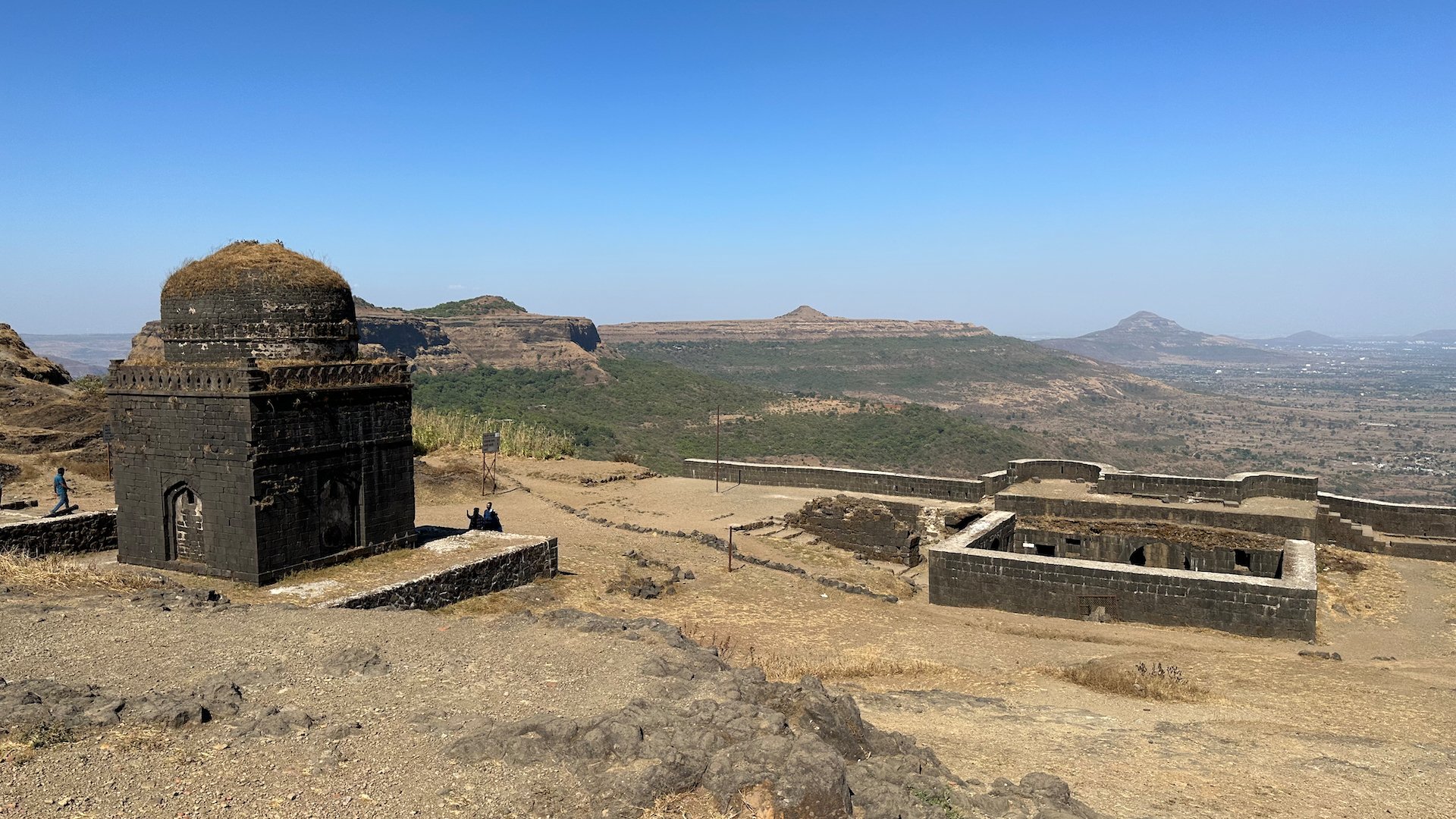
The thing that amazed me the most was the plateau at the top. You came up through the last gate and I was expecting a typical stone fortification. Instead, it opens up into this huge plateau on the top of the mountain. It goes on for a huge distance - we didn’t explore all of it - and it was hard to imagine how many troops they could have hosted at the top. I saw somewhere that it maxed out at over 1,000 people at one time.
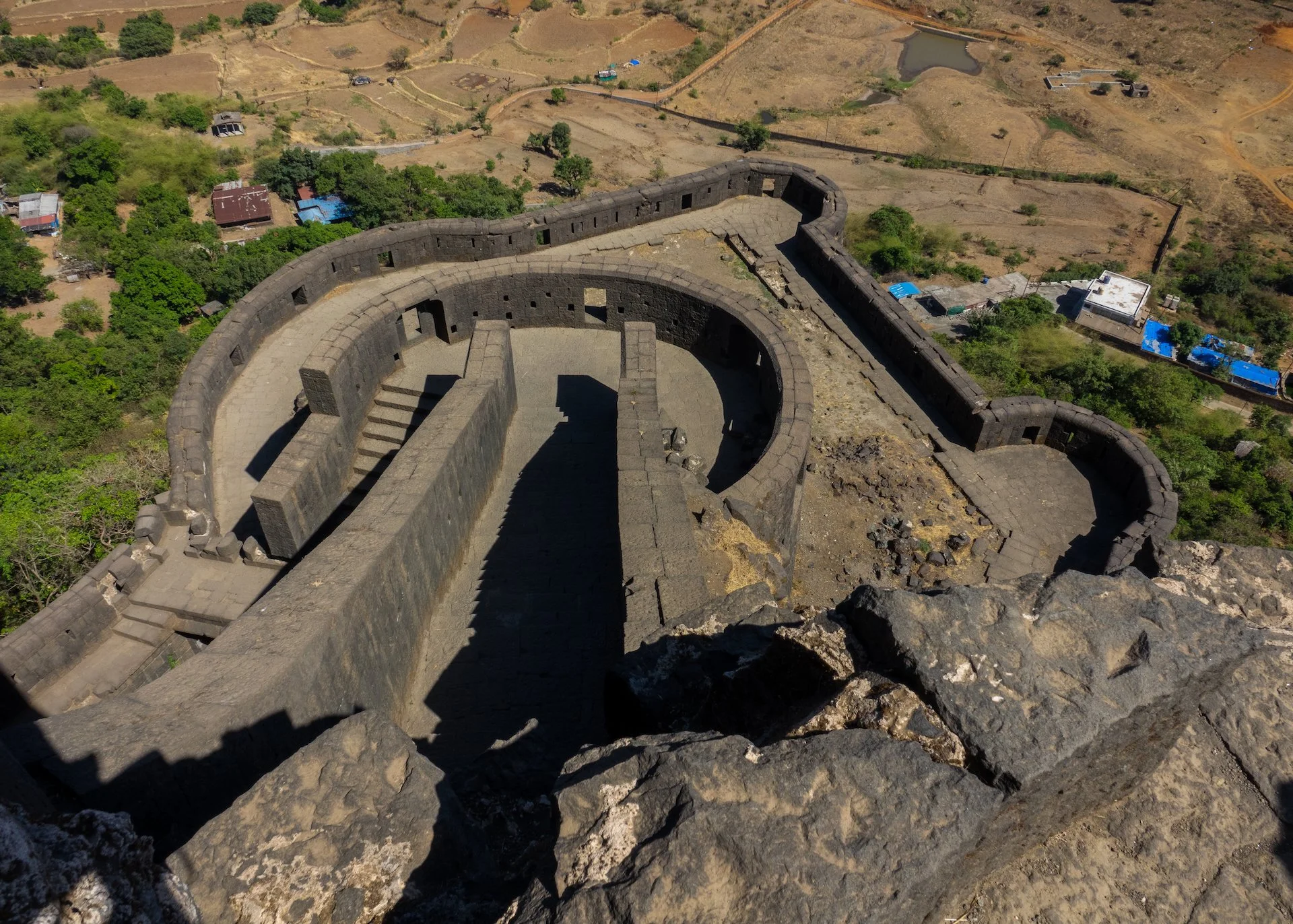
This gives a bit of a sense as to the scale of the top plateau.
Taken from the top, you can see how big it is.
A short video that shows the scale of the top plateau.
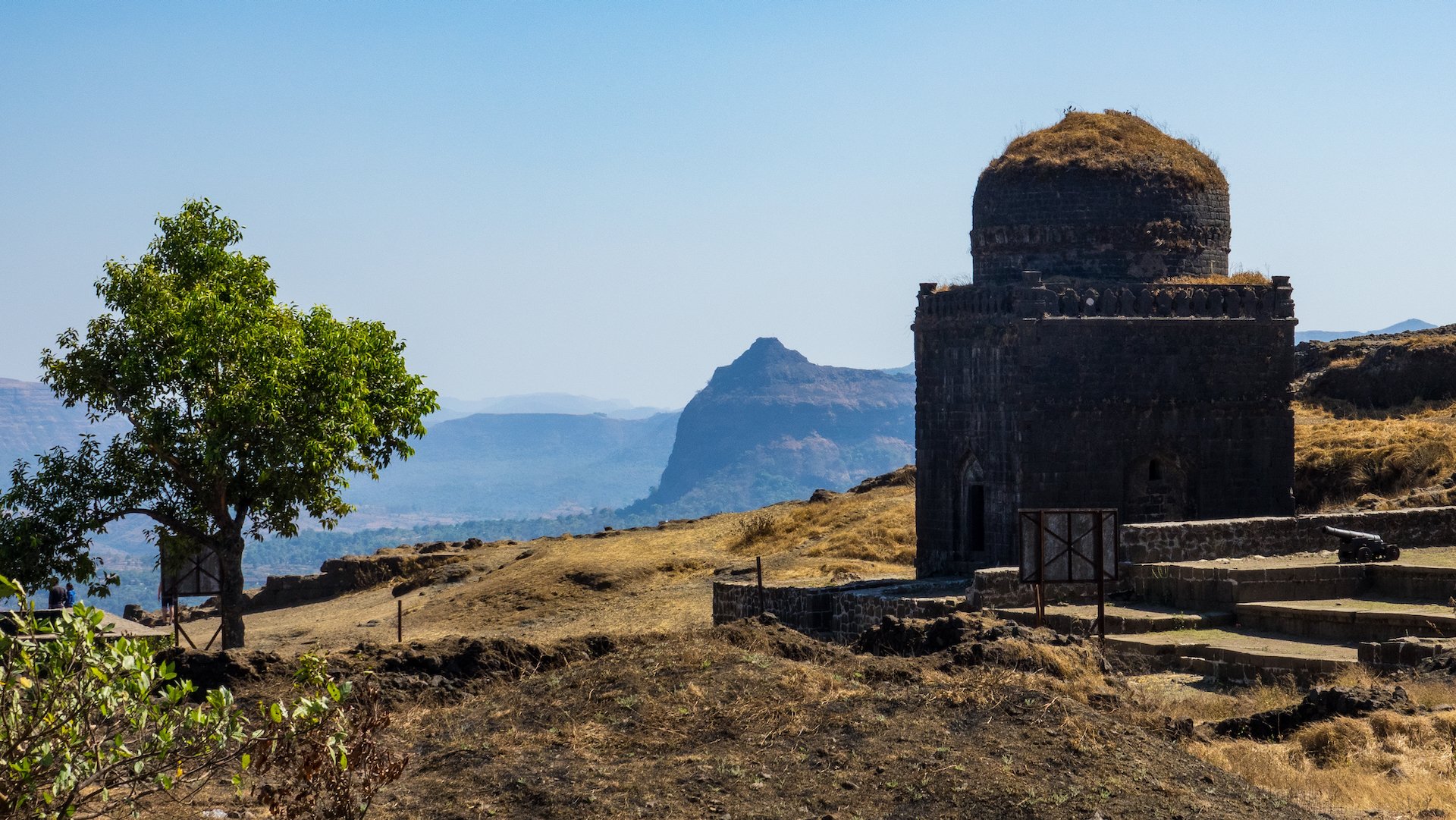
We spent a few hours exploring the fort and its surroundings, which are filled with several ancient temples, water tanks, and ruins. One of the most prominent features of the fort is the Vinchukata, a large plateau located at the top of the fort. The Vinchukata offers a breathtaking view of the surrounding hills and valleys. I think we made it to the highest point, and the view was amazing.
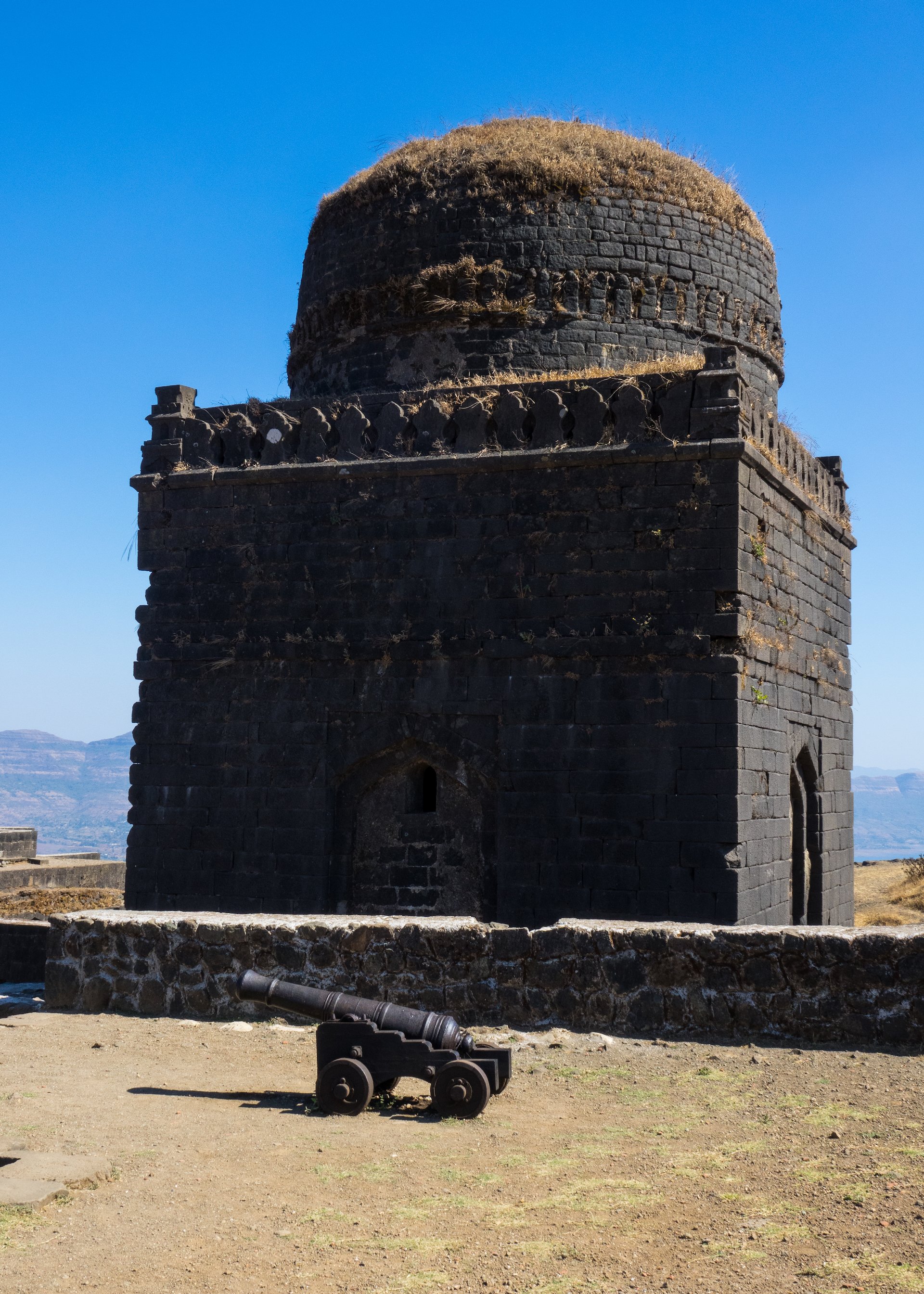
This is what eventually brought down this amazing fortification. They just blasted it from a distance with canons.
Given that the fort is perched on top of a mountain, it is amazing to imagine people trying to build this thing. Prior to the advent of more modern technologies, this fort must have been impregnable. It was spectacular to see, and I could have spent hours up there.
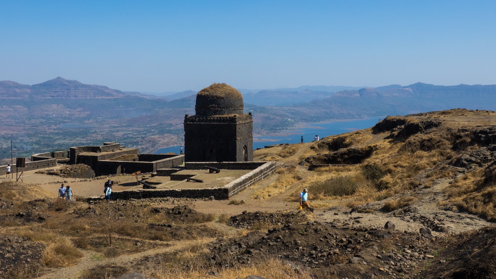
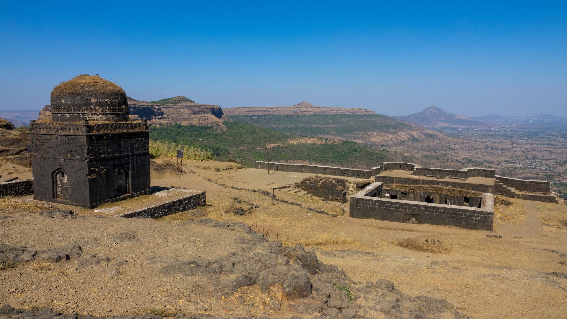
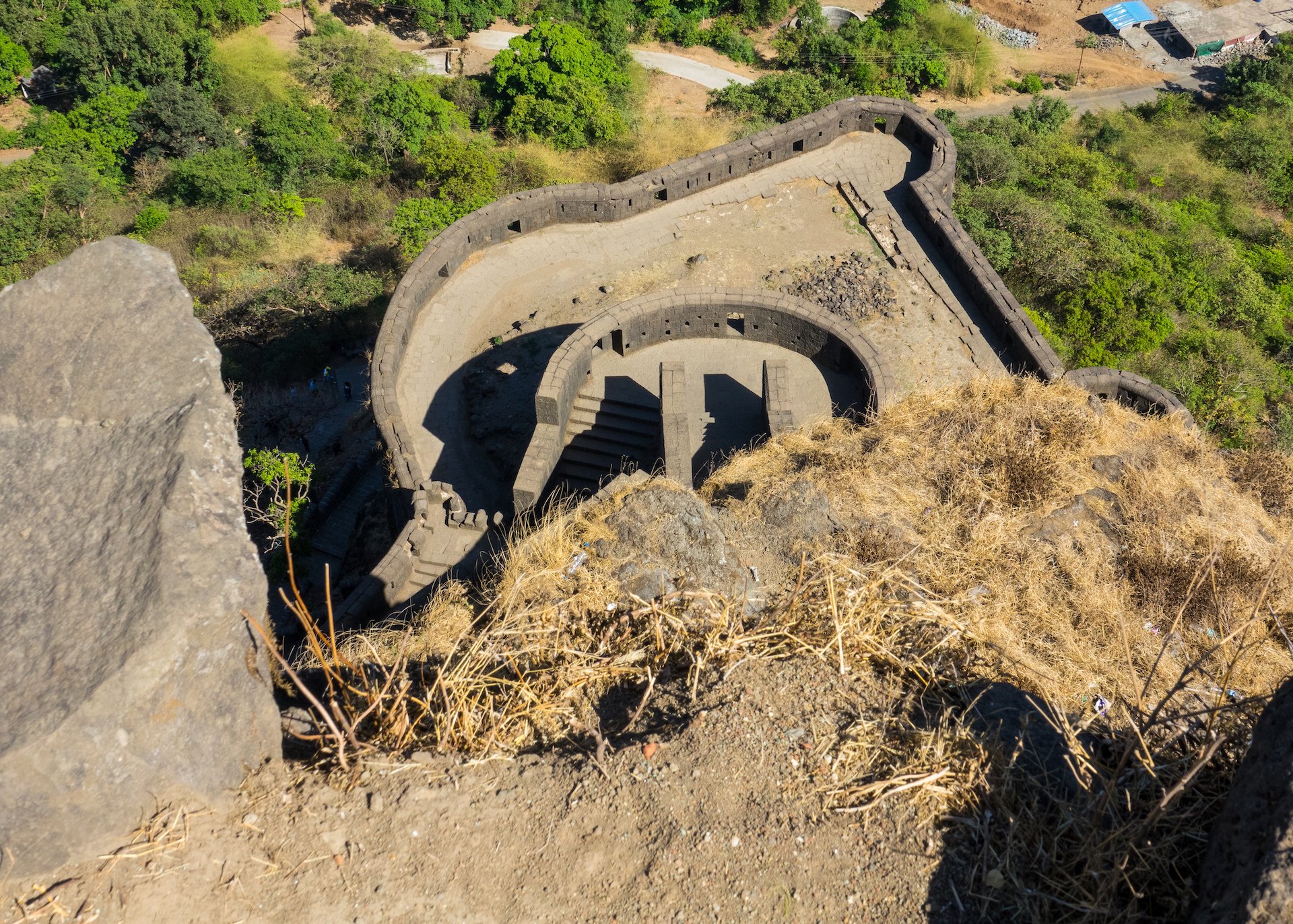

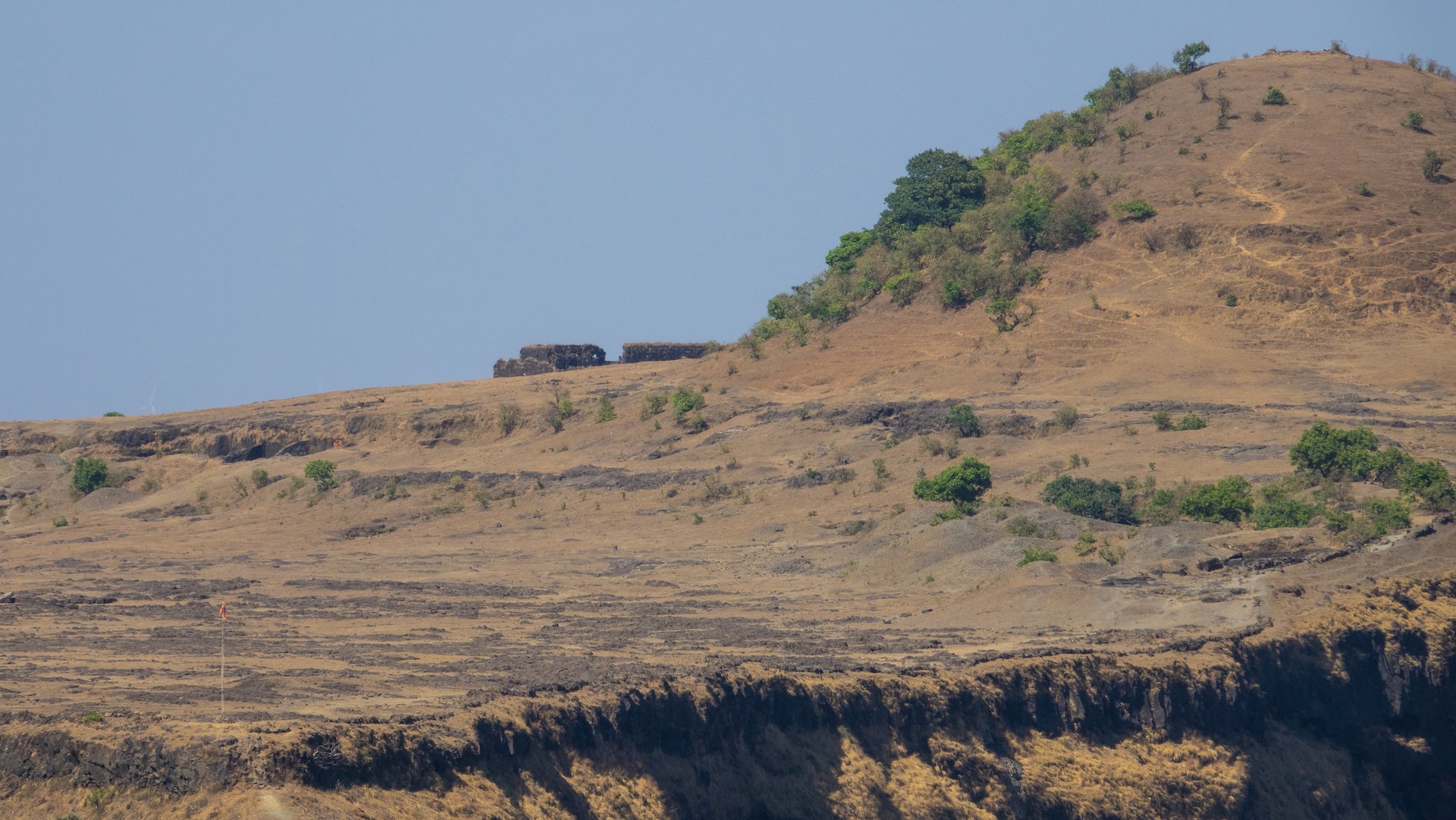
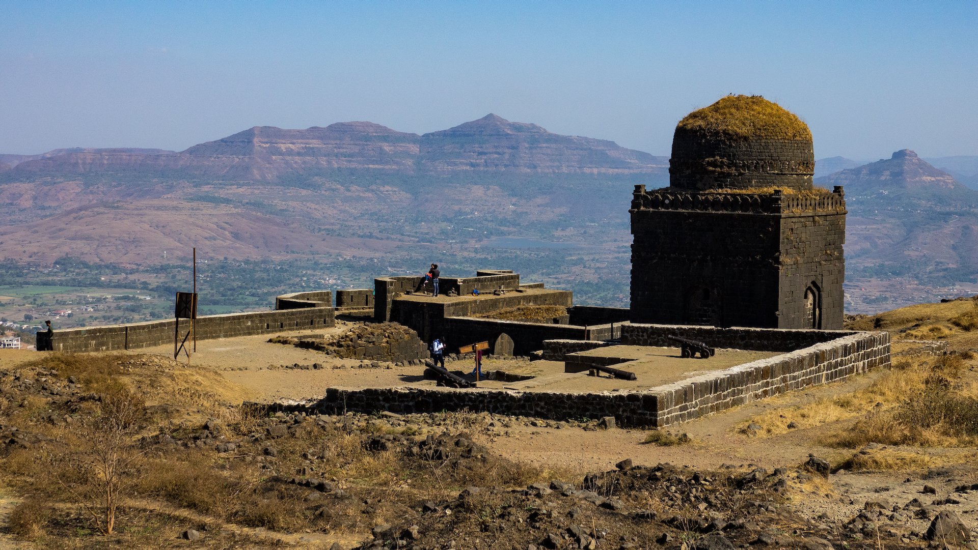
The map of our time exploring the Lohagad site.
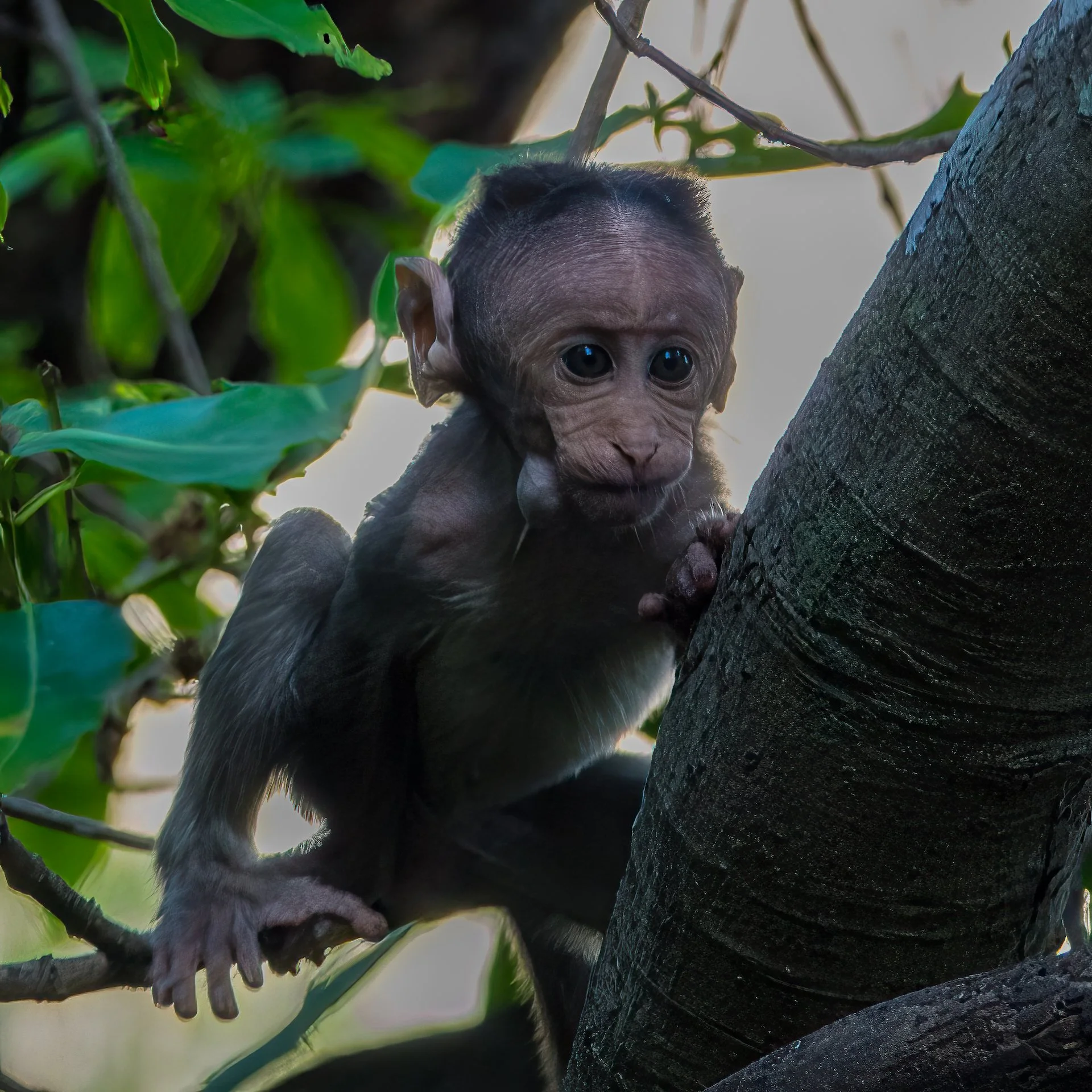
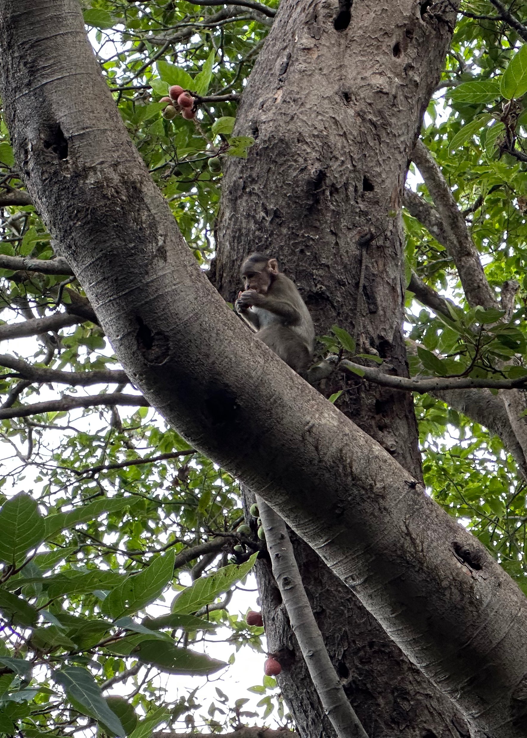
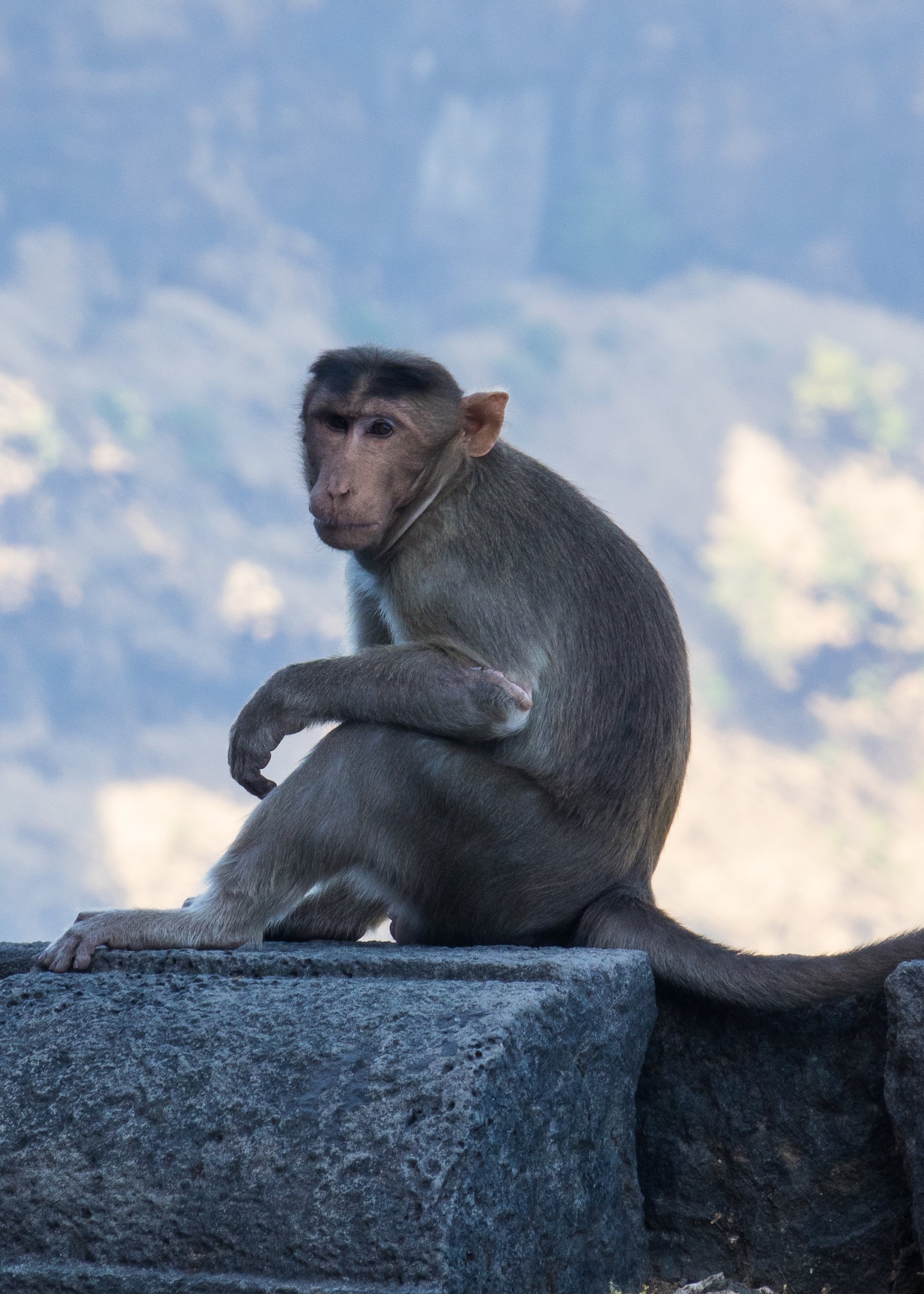
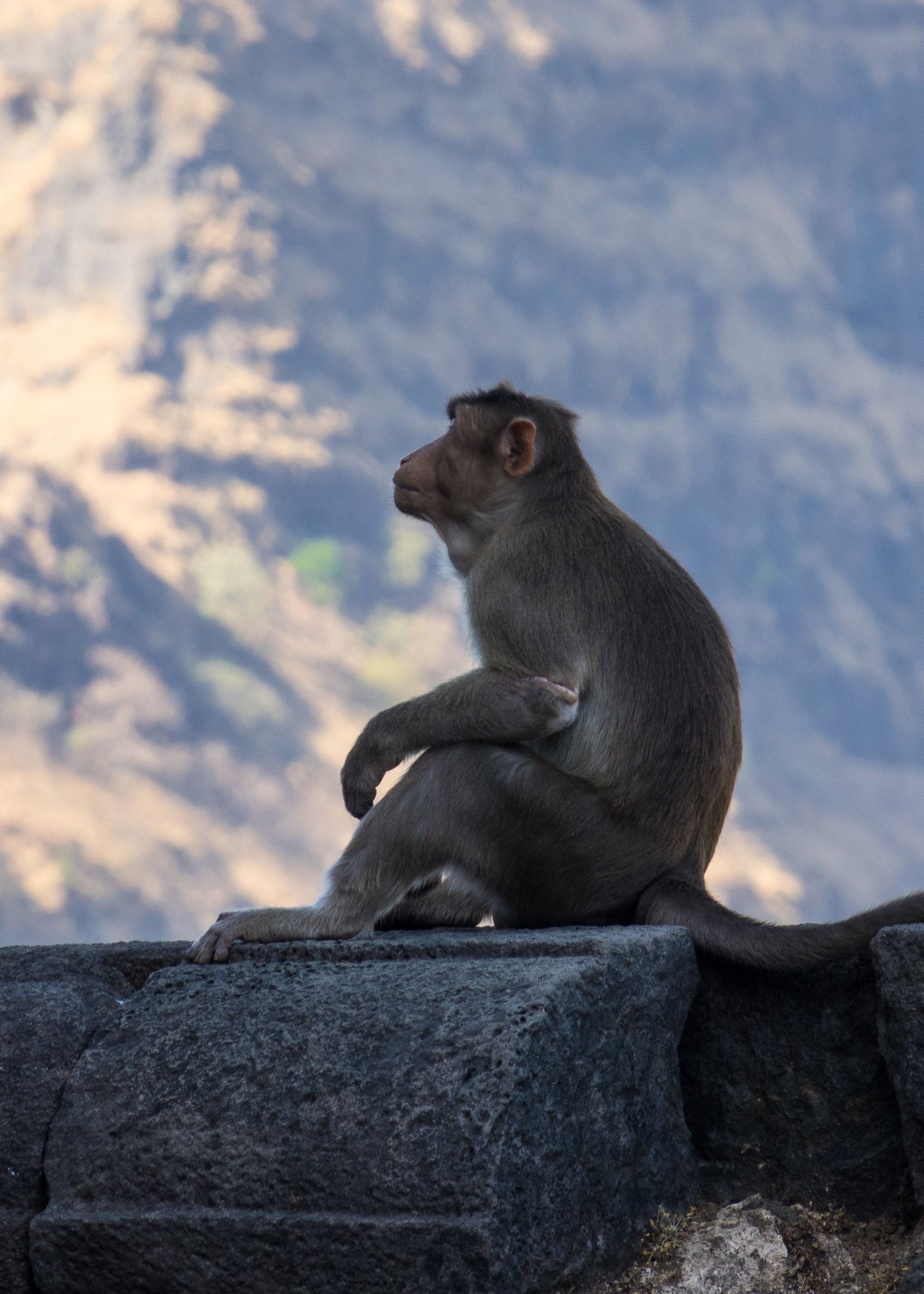
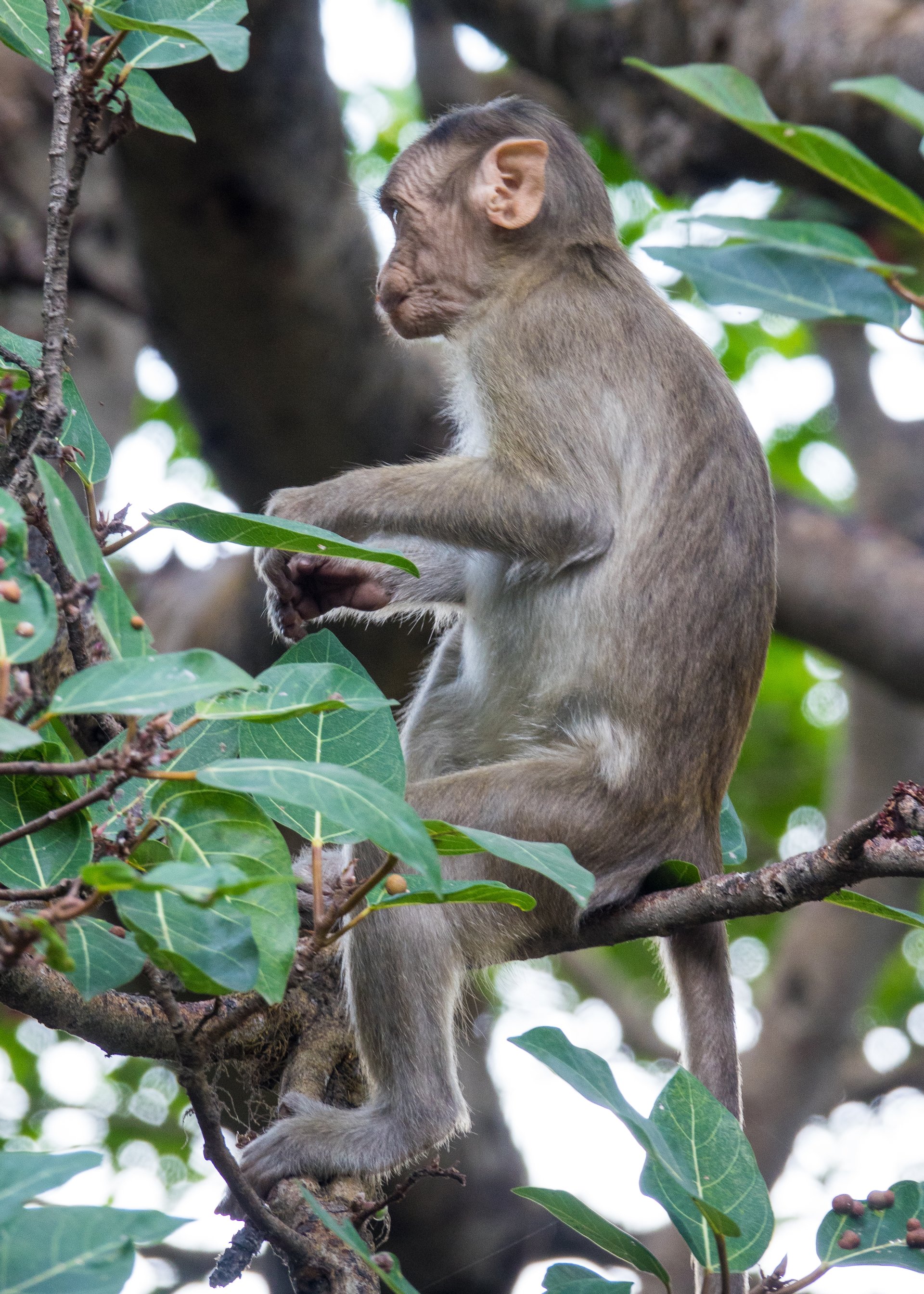
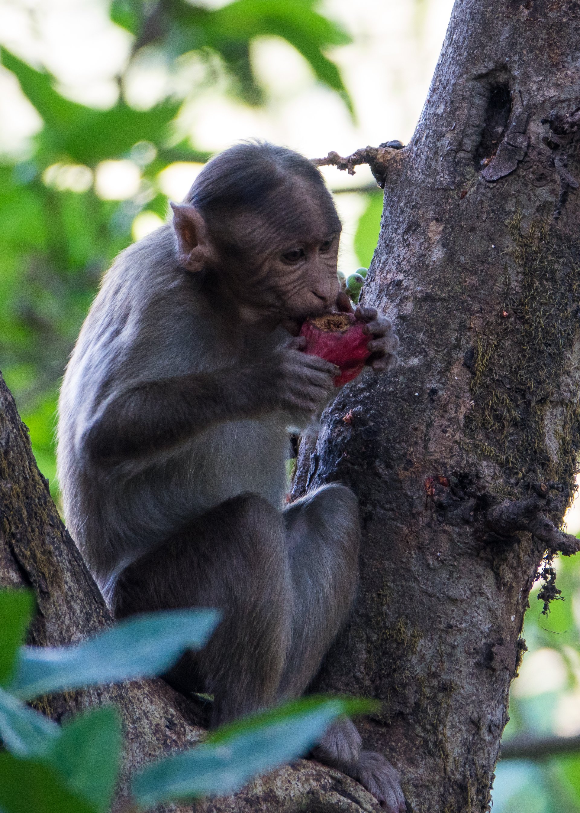
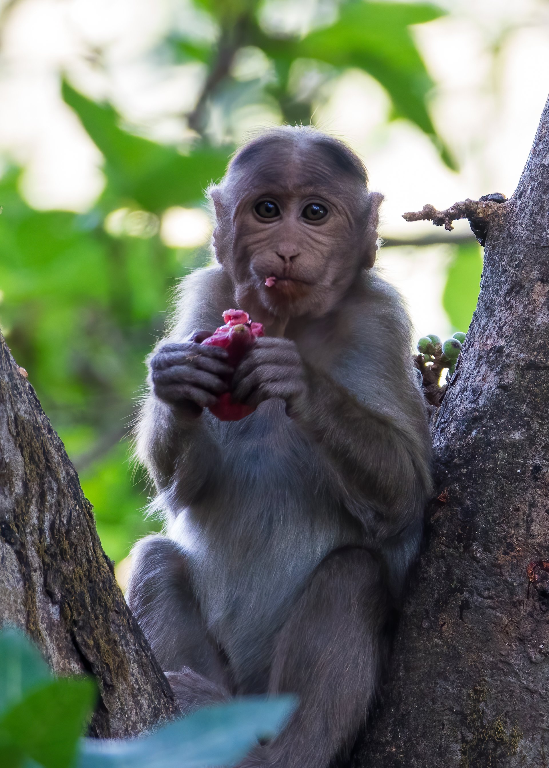
But we needed to head back, and so made the trek back down the stairs. Along the way we came across a troupe of rhesus monkeys who must hang out looking for treats from the tourists. There was a pretty big group of them, including some very small babies that must have just been born. But as cute as they are, you have to remember that they are wild and dangerous (and devious).
Up on the fort we saw this one lone monkey.
Our group wasn’t very good with the concept of giving the wild animals space.
He was checking us out from on top of the ramparts as we made our way back down. Probably deciding who the easy marks were…
One of the little babies…
A troupe of monkeys with their babies playing on the side of the trail.
One came up to Kedar and I looking all cute, then tried to steal Kedar’s bag right from out of his hands! Another ripped a bottle of soda from another person that was not paying attention (not our group). They were cute but we needed to be on our way. The local people were not as enamored with them – they would throw rocks at them, trying to chase them away.
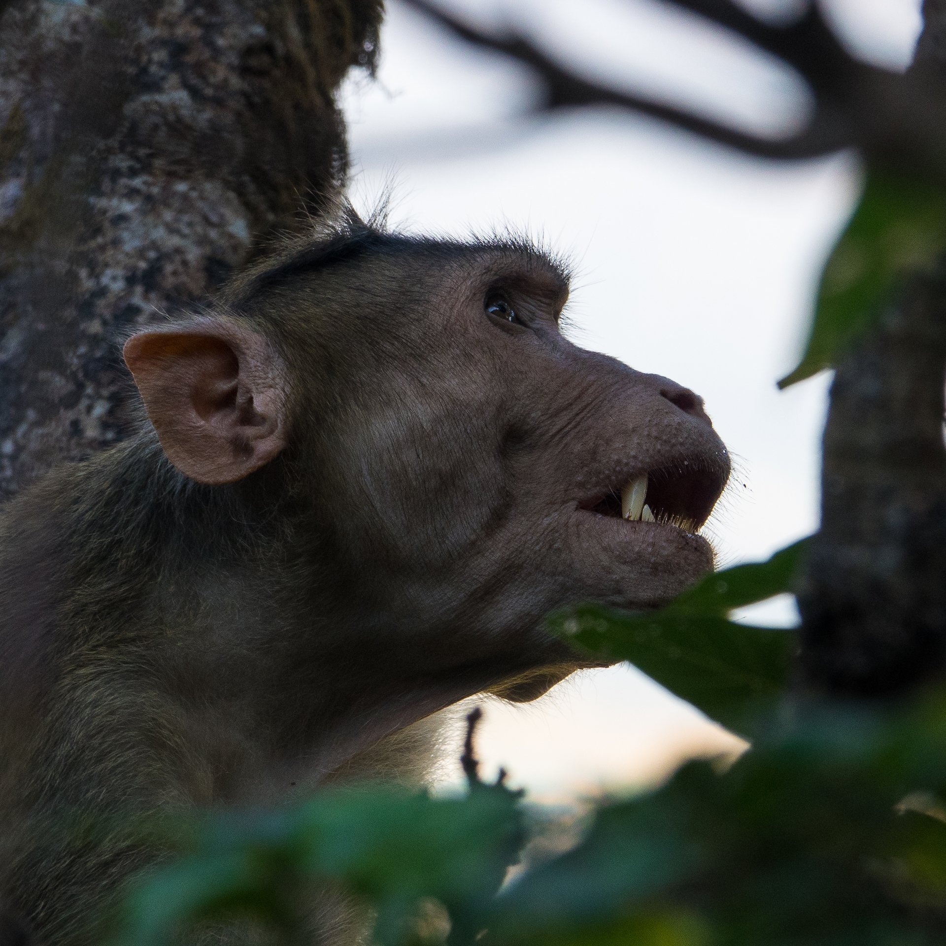
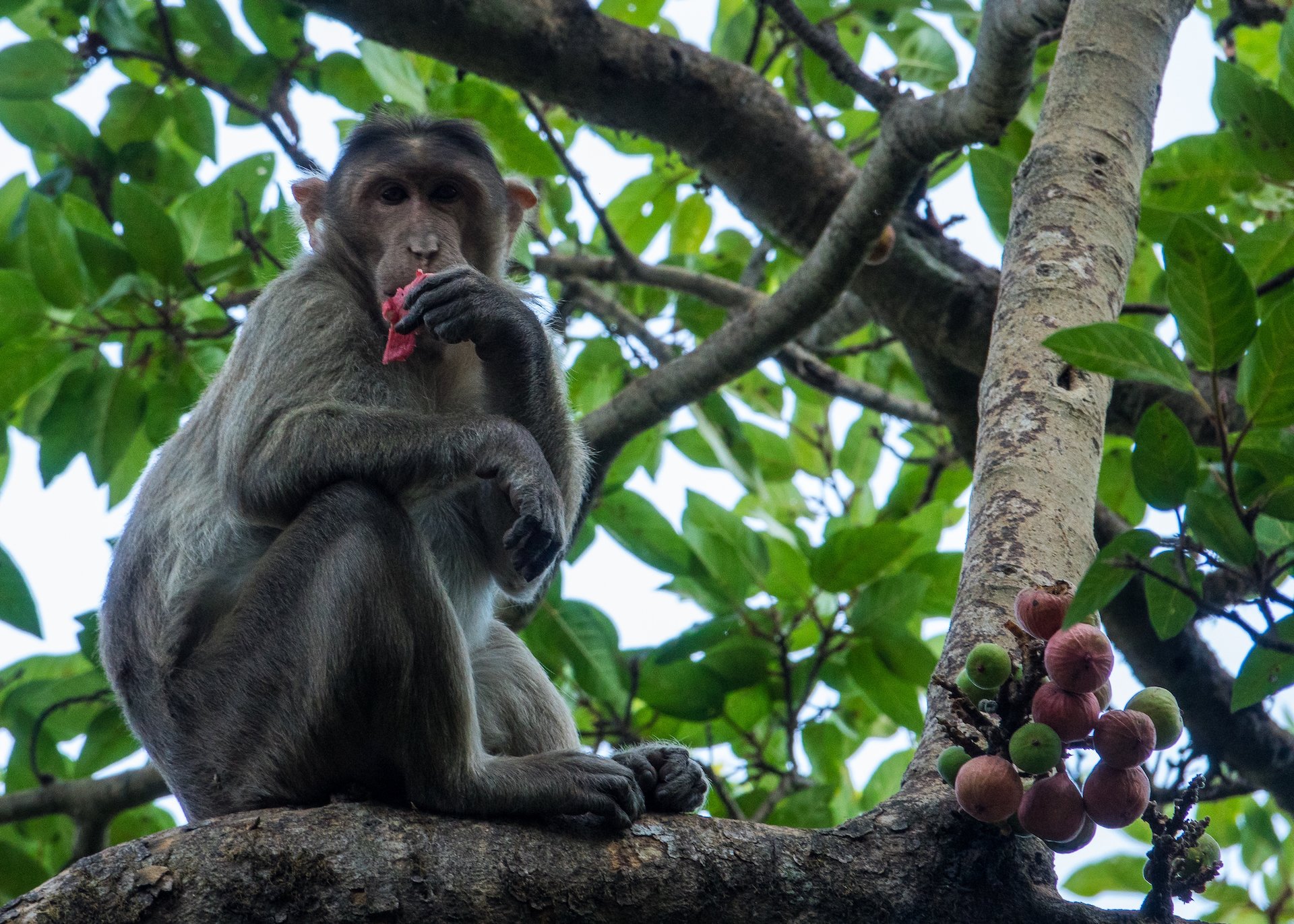
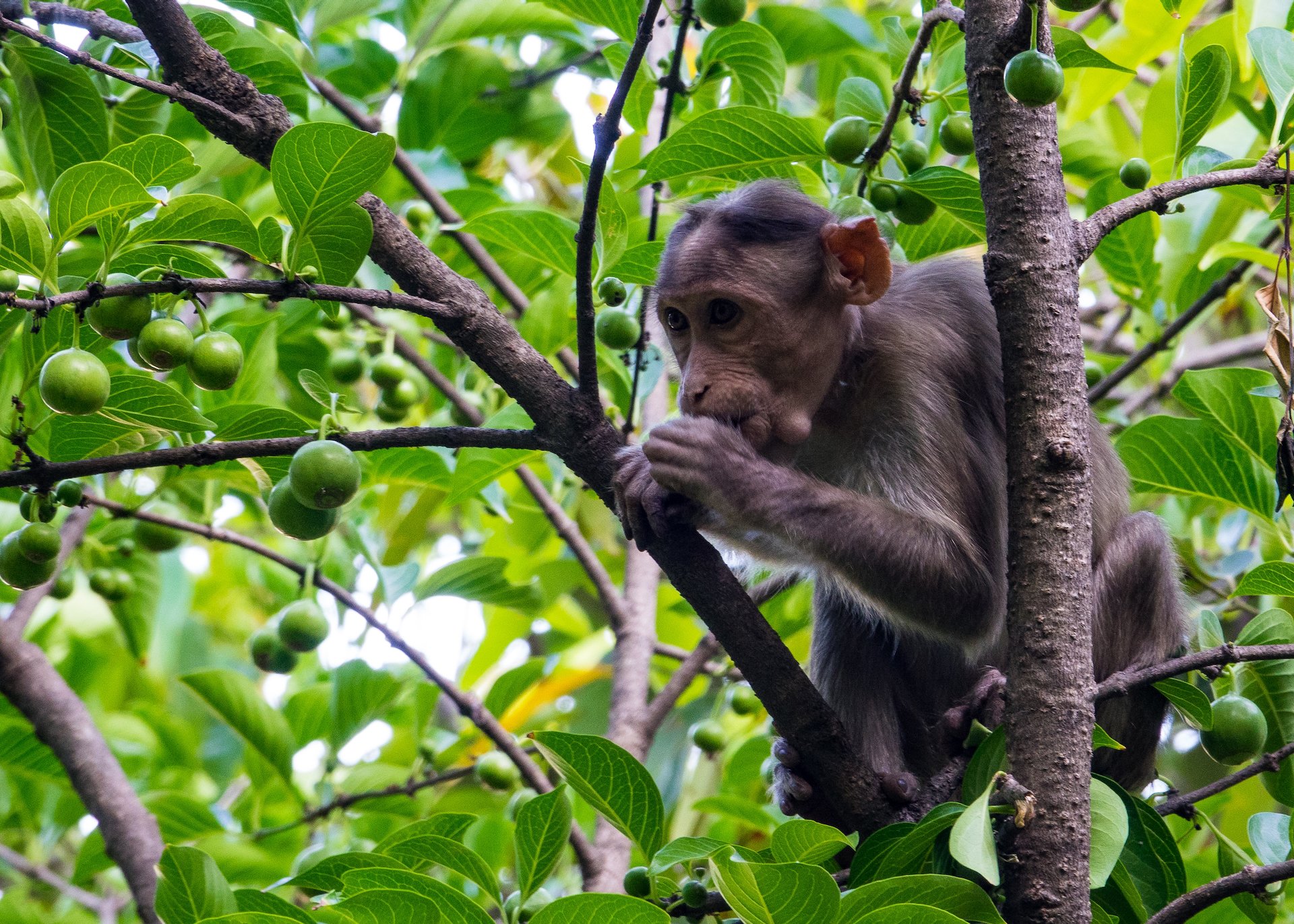
It had been another long day, but an amazing one. We made the long drive back to the city and chilled out for the rest of the evening.
For fun, I started my watch on part of the drive back down on the crazy road.

